Brockloch Hill

Hill, Mountain in Wigtownshire

Scotland

Brockloch Hill

Gap in the trees Looking down through the trees in Knockinaam Woods.
Gap in the trees Credit: Jon Alexander

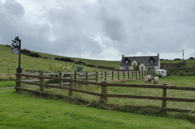
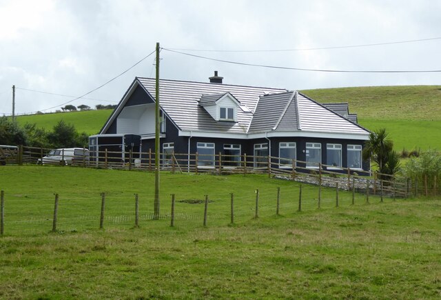
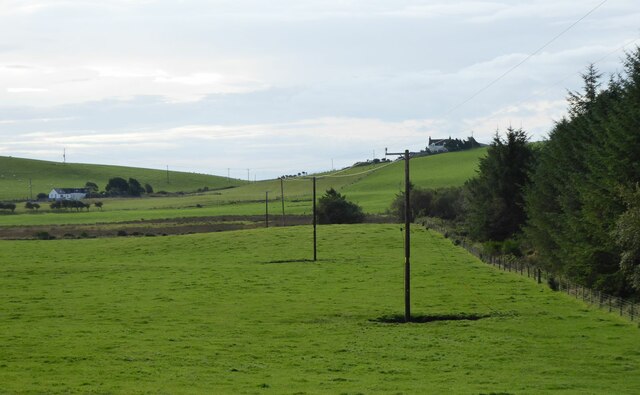
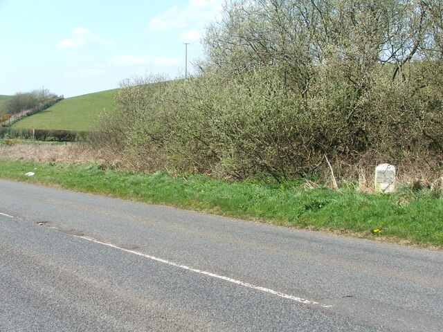
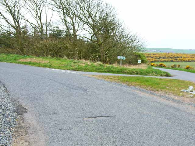
Brockloch Hill is a prominent landmark located in Wigtownshire, in the southwest of Scotland. Rising to an elevation of approximately 200 meters (656 feet), it is classified as a hill rather than a mountain. The hill is situated near the village of Whithorn, just a few miles south of Wigtown, the county town of Wigtownshire.

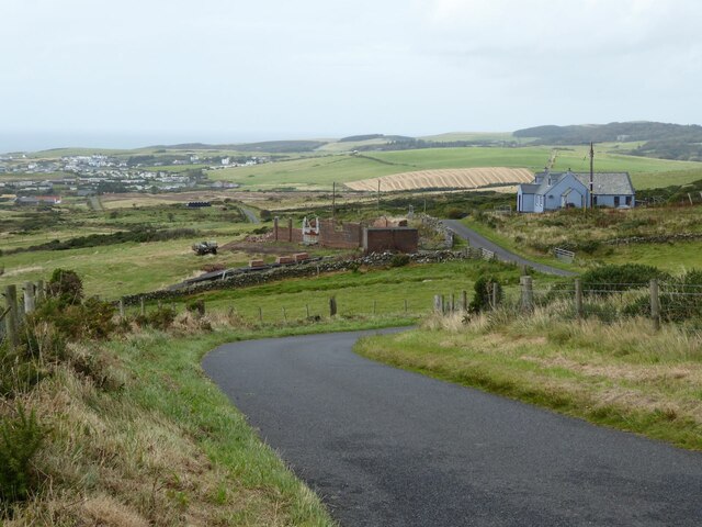
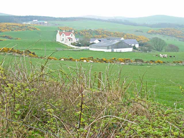
Brockloch Hill is known for its picturesque beauty, offering breathtaking panoramic views of the surrounding countryside. Its summit provides an excellent vantage point to observe the rolling green hills, farmland, and the nearby coast. On clear days, it is even possible to see across the Irish Sea to the Isle of Man.

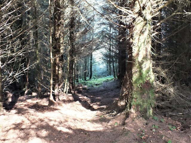
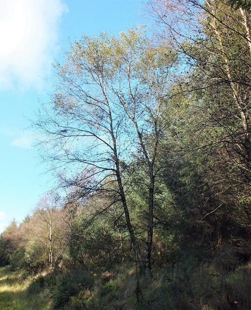
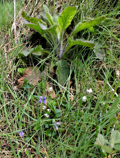
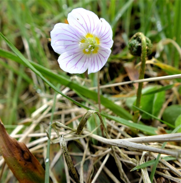
The hill is covered in a patchwork of vegetation, including grasses, heather, and scattered trees. The diverse flora attracts a variety of wildlife, making it a popular spot for nature enthusiasts and birdwatchers. Common sightings include buzzards, kestrels, and various songbirds.

Brockloch Hill is also of historical significance, with remnants of an Iron Age hillfort still visible on its slopes. These ancient earthworks serve as a reminder of the area's rich past, contributing to its cultural heritage.

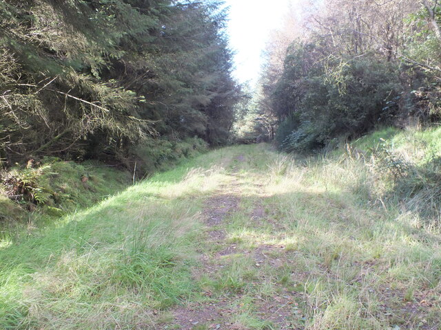
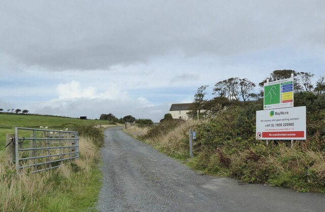
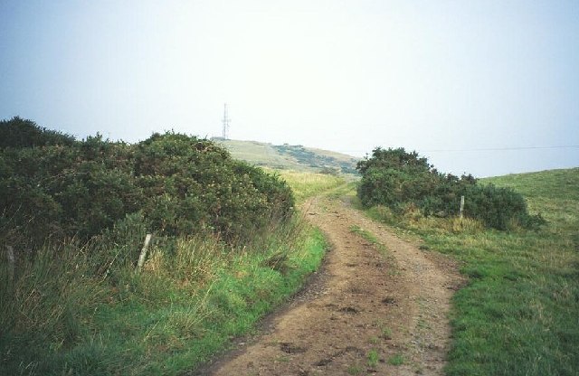
Accessible via a well-marked footpath, Brockloch Hill attracts both locals and tourists alike, offering a serene and peaceful escape from the bustling towns and cities. It is a popular destination for hiking, picnicking, and simply enjoying the tranquility of the Scottish countryside.

If you have any feedback on the listing, please let us know in the comments section below.

Brockloch Hill Images

Images are sourced within 2km of 54.845346/-5.0673183 or Grid Reference NX0354. Thanks to Geograph Open Source API. All images are credited.

Gap in the trees Looking down through the trees in Knockinaam Woods.
Gap in the trees
Looking down through the trees in Knockinaam Woods.
Birch tree Beside the track in Knockinaam Wood.
Birch tree
Beside the track in Knockinaam Wood.
Down the track In Knockinaam Wood.
Down the track
In Knockinaam Wood.
Floral Collection Next to the track in Knockinaam Wood. At the top we have a Foxglove (Digitalis purpurea) which is not yet in flower, below this are Dog Violets (Viola riviniana) and the white Wood Sorrel flowers (Oxalis acetosella).
Floral Collection
Next to the track in Knockinaam Wood. At the top we have a Foxglove (Digitalis purpurea) which is not yet in flower, below this are Dog Violets (Viola riviniana) and the white Wood Sorrel flowers (Oxalis acetosella).
Wood Sorrel The pretty white flowers of the Wood Sorrel (Oxalis acetosella) with their five petals, purple veins and distinctive trefoil leaves which close as night falls, reopening in the dappled sun the next morning.
Wood Sorrel
The pretty white flowers of the Wood Sorrel (Oxalis acetosella) with their five petals, purple veins and distinctive trefoil leaves which close as night falls, reopening in the dappled sun the next morning.
Access to the North Rhins Wind Farm On Craigenlee Fell some 2 km further north.
Enoch farm is just right of centre.
Access to the North Rhins Wind Farm
On Craigenlee Fell some 2 km further north. Enoch farm is just right of centre.
The winding road  to Eagle View And on to Portpatrick.
The winding road to Eagle View
And on to Portpatrick.
Meikle Pinminnoch Beside the A77.
Meikle Pinminnoch
Beside the A77.
Old Spittal Croft In sheep country!
Old Spittal Croft
In sheep country!
Tobarcnoc North Port o' Spittal Farm, near Portpatrick, Stranraer.
Tobarcnoc
North Port o' Spittal Farm, near Portpatrick, Stranraer.
Grassland beside Knockinaam Wood South Port o' Spittal farm on the right horizon.
Grassland beside Knockinaam Wood
South Port o' Spittal farm on the right horizon.
Old milestone It doesn't look as if this milestone has received any tlc since I photographed it in 2008.   It is near the minor cross roads leading south to Lagganmore and north along the line of the Old Military Road towards Stranraer.  Another milestone for the bench mark enthusiasts.
Old milestone
It doesn't look as if this milestone has received any tlc since I photographed it in 2008. It is near the minor cross roads leading south to Lagganmore and north along the line of the Old Military Road towards Stranraer. Another milestone for the bench mark enthusiasts.
Old milestone At the back of a quite wide verge, the milestone just needs to have overgrown vegetation removed.  The hedge across the middle distance is on the lane that is a back, quiet way into Stranraer.
Old milestone
At the back of a quite wide verge, the milestone just needs to have overgrown vegetation removed. The hedge across the middle distance is on the lane that is a back, quiet way into Stranraer.
Craigenquarroch Farm track. There was a farm near here, but it has been demolished. Mast on Cairn Pat "next door"
Craigenquarroch
Farm track. There was a farm near here, but it has been demolished. Mast on Cairn Pat "next door"
Livestock transportation business, Port of Spittal
Barn on Craigoch Moor
Farm at North Port of Spittal
Road junction on the B7042 Portpatrick to Sandhead road
Road junction on the B7042
Portpatrick to Sandhead road
Show me another place!

Brockloch Hill is located at Grid Ref: NX0354 (Lat: 54.845346, Lng: -5.0673183)

Unitary Authority: Dumfries and Galloway

Police Authority: Dumfries and Galloway

What 3 Words

///resorting.outsiders.limp. Near Stranraer, Dumfries & Galloway

Related Wikis

Colfin railway station

Colfin railway station, located in Wigtownshire, Scotland, between Portpatrick and Stranraer, was a station on the Portpatrick and Wigtownshire Joint Railway...

Rhins of Galloway

The Rhins of Galloway, otherwise known as the Rhins of Wigtownshire (or as The Rhins, also spelled The Rhinns; Scottish Gaelic: Na Rannaibh), is a hammer...

Portpatrick railway station

Portpatrick railway station was a railway station serving the village of Portpatrick, Dumfries & Galloway, Scotland. Opened in 1862 the station served...

Dunskey Castle

Dunskey Castle is a ruined, 12th-century tower house or castle, located 0.5 miles (0.80 km) south of the village of Portpatrick, Rhinns, Wigtownshire,...

Dunskey

Dunskey Estate (also known as Portree Estate) is north of Portpatrick on the west coast of Scotland. The B-listed mansion dates from the start of the twentieth...

Knockinaam Lodge

Knockinaam Lodge is a hotel and restaurant located about 3.5 miles South of Portpatrick, Dumfries & Galloway, Scotland. As of 2008, the restaurant holds...

Portpatrick

Portpatrick is a village and civil parish in the historical county of Wigtownshire, Dumfries and Galloway, Scotland. It is located on the west coast of...

Lochans, Dumfries and Galloway

Lochans is a small village around 2.5 miles (4.0 km) south of Stranraer, in Dumfries and Galloway in south-west Scotland. In 1971 it had a population of...

Nearby Amenities

Located within 500m of 54.845346,-5.0673183
Power: pole
Lat/Long: 54.8491249/-5.0712175
Power: pole
Lat/Long: 54.8491114/-5.069863
Power: pole
Lat/Long: 54.8491033/-5.068067
Power: pole
Lat/Long: 54.8490844/-5.0664143
Power: pole
Lat/Long: 54.8490763/-5.0650691
Power: pole
Lat/Long: 54.8488465/-5.0640362
Power: pole
Lat/Long: 54.8490695/-5.0629539
Power: pole
Lat/Long: 54.8409163/-5.068276
Power: pole
Lat/Long: 54.8413688/-5.0677521
Power: pole
Lat/Long: 54.8431462/-5.0605929
Power: pole
Lat/Long: 54.8427329/-5.0620034
Power: pole
Lat/Long: 54.8423061/-5.0634605
The data included in this document is from www.openstreetmap.org. The data is made available under ODbL.

Have you been to Brockloch Hill?

Leave your review of Brockloch Hill below (or comments, questions and feedback).