Cairn Hill
Hill, Mountain in Wigtownshire
Scotland
Cairn Hill
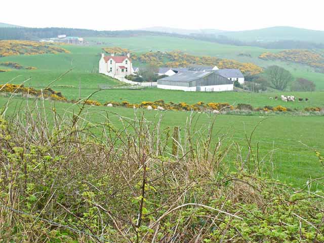
Cairn Hill is a prominent hill located in Wigtownshire, Scotland. Standing at an elevation of approximately 481 meters (1,578 feet), it is a notable landmark in the region. The hill is situated in the southern part of the county, near the village of Cairnryan, and offers stunning panoramic views of the surrounding countryside.
Cairn Hill is characterized by its distinctive conical shape, which is a result of its volcanic origins. The hill is composed mainly of basalt, a volcanic rock that gives it a dark appearance. It is believed to have formed during the Paleogene period, around 60 million years ago.
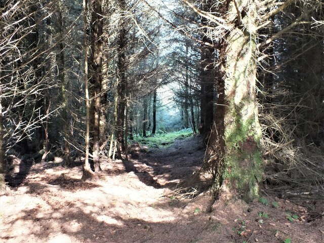
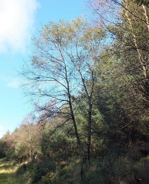
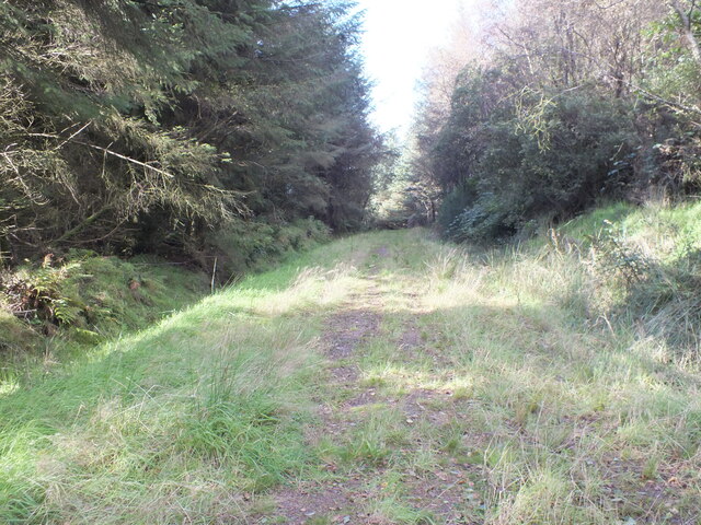
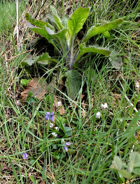
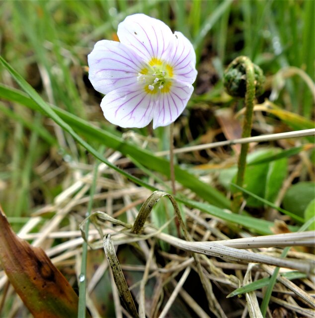
The hill is a popular destination for outdoor enthusiasts and hikers, who are drawn to its natural beauty and challenging terrain. Several walking trails lead to the summit, providing visitors with an opportunity to explore the diverse flora and fauna that inhabit the area.
Cairn Hill also has historical significance, with evidence of ancient settlements found in the vicinity. Archaeological excavations have revealed traces of Iron Age forts and burial sites, suggesting that the hill was inhabited by early human communities.
In recent years, Cairn Hill has gained additional recognition as a site for wind energy generation. Several wind turbines have been installed on the hill, harnessing the strong winds that sweep across the landscape.
Overall, Cairn Hill is a captivating and culturally significant feature of the Wigtownshire landscape, offering visitors a chance to appreciate the area's natural beauty and rich history.
If you have any feedback on the listing, please let us know in the comments section below.
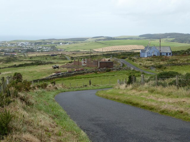
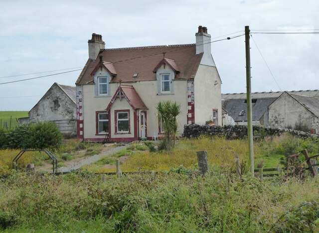
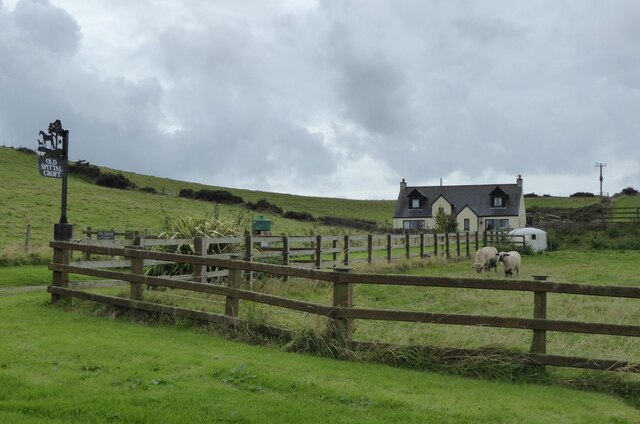
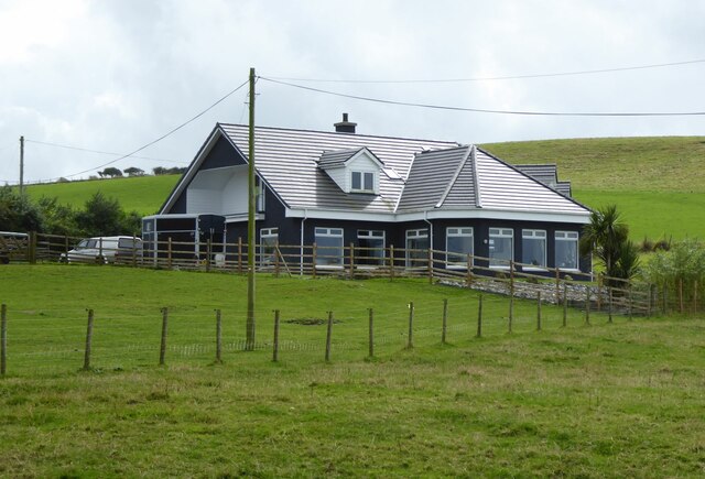
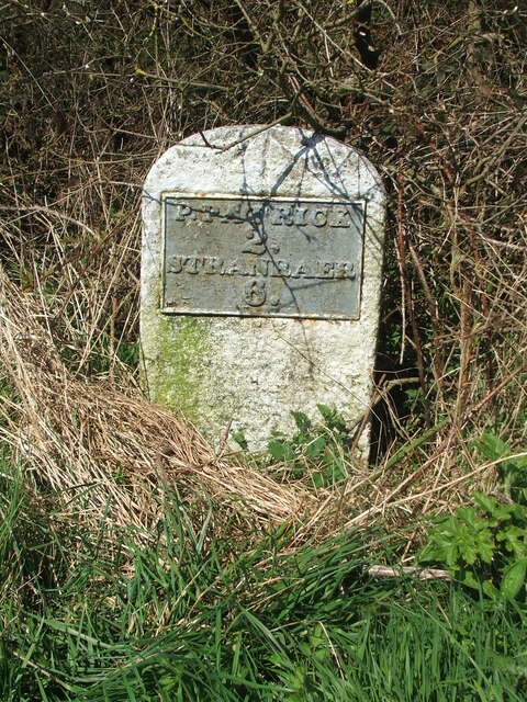
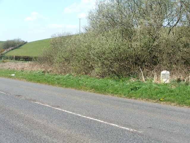
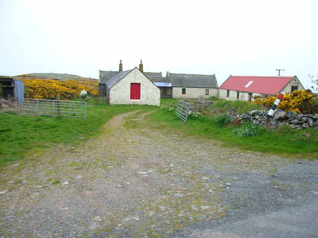
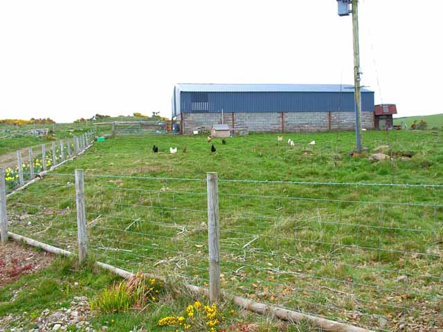
Cairn Hill Images
Images are sourced within 2km of 54.844096/-5.0744211 or Grid Reference NX0254. Thanks to Geograph Open Source API. All images are credited.

Cairn Hill is located at Grid Ref: NX0254 (Lat: 54.844096, Lng: -5.0744211)
Unitary Authority: Dumfries and Galloway
Police Authority: Dumfries and Galloway
What 3 Words
///chains.pictured.steepest. Near Stranraer, Dumfries & Galloway
Nearby Locations
Related Wikis

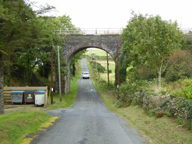
Colfin railway station
Colfin railway station, located in Wigtownshire, Scotland, between Portpatrick and Stranraer, was a station on the Portpatrick and Wigtownshire Joint Railway...

Rhins of Galloway
The Rhins of Galloway, otherwise known as the Rhins of Wigtownshire (or as The Rhins, also spelled The Rhinns; Scottish Gaelic: Na Rannaibh), is a hammer...

Portpatrick railway station
Portpatrick railway station was a railway station serving the village of Portpatrick, Dumfries & Galloway, Scotland. Opened in 1862 the station served...

Dunskey Castle
Dunskey Castle is a ruined, 12th-century tower house or castle, located 0.5 miles (0.80 km) south of the village of Portpatrick, Rhinns, Wigtownshire,...

Dunskey
Dunskey Estate (also known as Portree Estate) is north of Portpatrick on the west coast of Scotland. The B-listed mansion dates from the start of the twentieth...
Knockinaam Lodge
Knockinaam Lodge is a hotel and restaurant located about 3.5 miles South of Portpatrick, Dumfries & Galloway, Scotland. As of 2008, the restaurant holds...

Portpatrick
Portpatrick is a village and civil parish in the historical county of Wigtownshire, Dumfries and Galloway, Scotland. It is located on the west coast of...
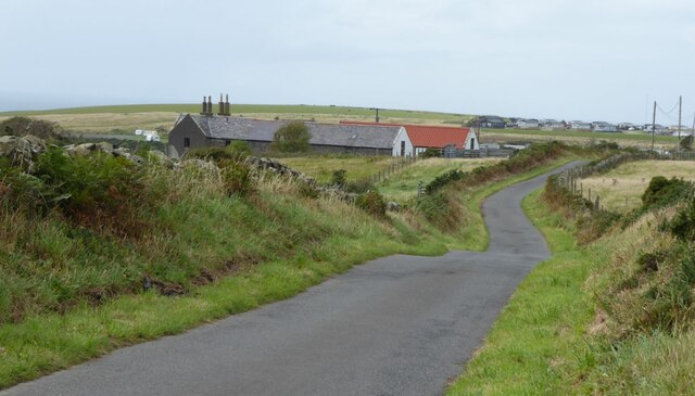
Lochans, Dumfries and Galloway
Lochans is a small village around 2.5 miles (4.0 km) south of Stranraer, in Dumfries and Galloway in south-west Scotland. In 1971 it had a population of...
Nearby Amenities
Located within 500m of 54.844096,-5.0744211Have you been to Cairn Hill?
Leave your review of Cairn Hill below (or comments, questions and feedback).