Cnoc Riabhach

Hill, Mountain in Sutherland

Scotland

Cnoc Riabhach

Icehouses at Culkein The icehouses were filled during the winter and the ice was used during the salmon fishing season to preserve salmon in transit to southern markets.   The salmon fishers' bothy is above the beach.
Icehouses at Culkein Credit: Iain A Robertson

Cnoc Riabhach is a hill located in the county of Sutherland in the northernmost part of Scotland. It is part of the wider Scottish Highlands region and is known for its stunning natural beauty and panoramic views.

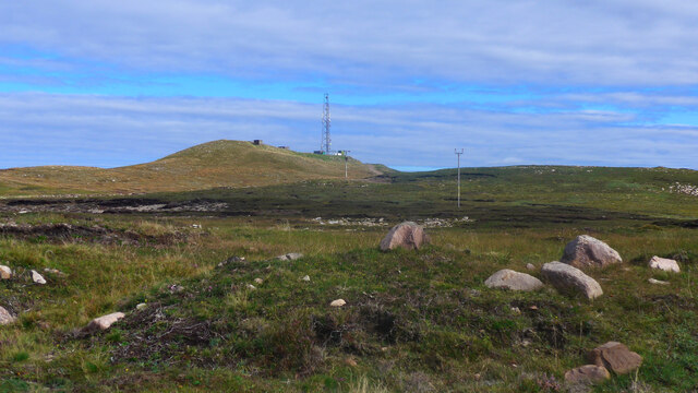
Standing at an elevation of approximately 659 meters (2,162 feet), Cnoc Riabhach is considered a hill rather than a mountain. However, it still offers an invigorating climb for outdoor enthusiasts and offers a challenging yet rewarding hiking experience.

The hill is characterized by its rugged terrain, with steep slopes covered in heather and grasses. The summit of Cnoc Riabhach is marked by a cairn, a man-made pile of stones that serves as a point of interest and a navigation aid for hikers.

From the top of Cnoc Riabhach, visitors can enjoy breathtaking views of the surrounding landscape. On clear days, it is possible to see vast stretches of the Scottish Highlands, with rolling hills, lochs, and distant mountain ranges stretching as far as the eye can see. The hill also offers a prime vantage point to witness stunning sunrises and sunsets.

Cnoc Riabhach is a popular destination for hikers and outdoor enthusiasts due to its accessibility and proximity to nearby towns and villages. It provides a fantastic opportunity to connect with nature and experience the raw beauty of the Scottish Highlands.

If you have any feedback on the listing, please let us know in the comments section below.

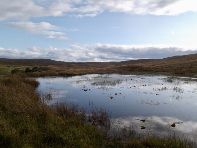
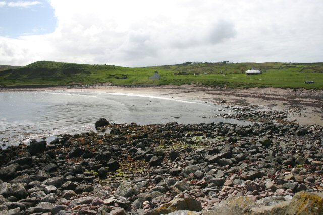
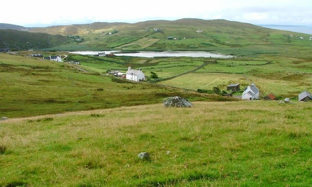
Cnoc Riabhach Images

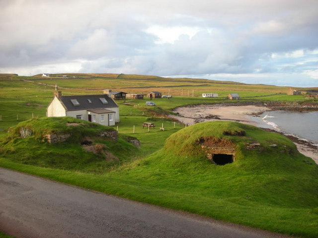
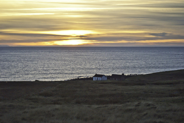
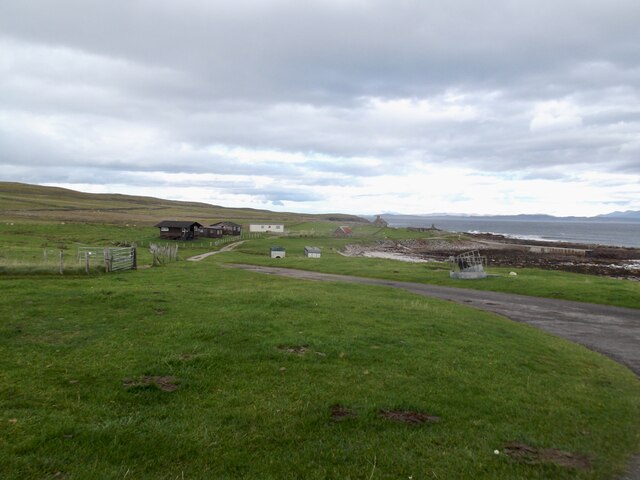
Images are sourced within 2km of 58.232867/-5.3623694 or Grid Reference NC0232. Thanks to Geograph Open Source API. All images are credited.

Icehouses at Culkein The icehouses were filled during the winter and the ice was used during the salmon fishing season to preserve salmon in transit to southern markets.   The salmon fishers' bothy is above the beach.
Icehouses at Culkein
The icehouses were filled during the winter and the ice was used during the salmon fishing season to preserve salmon in transit to southern markets. The salmon fishers' bothy is above the beach.
Beach at Balchladich Bay Typical of the beautiful little beaches which are to be found in this area.
Beach at Balchladich Bay
Typical of the beautiful little beaches which are to be found in this area.
Sunshine on Stoer This is a similar view to this one taken earlier - <a href="https://www.geograph.org.uk/photo/2645770">NC0330 : Highland Road</a> - but with better weather!
Sunshine on Stoer
This is a similar view to this one taken earlier - NC0330 : Highland Road - but with better weather!
Park House A well maintained cottage under a big sky at Clashmore.
Park House
A well maintained cottage under a big sky at Clashmore.
Crofts at the edge of the World
Croft by Balchladich Bay Remote but with stunning views when the weather is benign.
Croft by Balchladich Bay
Remote but with stunning views when the weather is benign.
Moorland south of Sidhean Beag Suilven and other Assynt hills are in silhouette on the horizon
Moorland south of Sidhean Beag
Suilven and other Assynt hills are in silhouette on the horizon
Wartime Remains at Rhubha Stoer There's little left to see now of the former RAF radar station at Raffin. This site held the accommodation block. The radar installation was nearer the lighthouse.
Wartime Remains at Rhubha Stoer
There's little left to see now of the former RAF radar station at Raffin. This site held the accommodation block. The radar installation was nearer the lighthouse.
Towards Loch na Claise A shallow loch with adjacent reed-beds near Clashmore.
Towards Loch na Claise
A shallow loch with adjacent reed-beds near Clashmore.
Old roadside quarry by the moors of Rubha Stoer
Mountain panorama, Sutherland Left to right: Canisp, Suilven, Cul Mor, Cul Beag and Stack Polly.
Mountain panorama, Sutherland
Left to right: Canisp, Suilven, Cul Mor, Cul Beag and Stack Polly.
Radio mast on Sidhean Beag The peaks of Conival and Ben More Assynt in the distance.
Radio mast on Sidhean Beag
The peaks of Conival and Ben More Assynt in the distance.
Radio mast on Sidhean Beag
Ruined fank near Stoer Lighthouse
The road to Clashmore Peaks on the horizon left to right:  Canisp, Suilven, Cul Mor, Cul Beag, Stac Pollaidh.
The road to Clashmore
Peaks on the horizon left to right: Canisp, Suilven, Cul Mor, Cul Beag, Stac Pollaidh.
House at Achnacarnin
Holiday lets at Culkein
Lily pond, Culkein
Lily pond, Culkein
Show me another place!

Cnoc Riabhach is located at Grid Ref: NC0232 (Lat: 58.232867, Lng: -5.3623694)

Unitary Authority: Highland

Police Authority: Highlands and Islands

What 3 Words

///bill.shuttled.ballpoint. Near Clachtoll, Highland

Related Wikis

Culkein

Culkein Stoer (Scottish Gaelic: An Cùl-cinn) is a remote former fishing village, centred on the Bay of Culkein, in Assynt in Sutherland, Scottish Highlands...

Clashmore, Assynt

Clashmore (Scottish Gaelic: An Clais Mór) is a scattered township in Assynt, in Sutherland, in the Highland council area of Scotland. It is situated on...

Achnacarnin

Achnacarnin (Scottish Gaelic: Achadh nan Càrnan) is a village on the headland of Point of Stoer in Lairg, Sutherland, within the Scottish local authority...

Balchladich

Balchladich (Scottish Gaelic: Baile a' Chladaich) is a remote township in the Assynt district of Sutherland, Scottish Highlands and is in the Scottish...

Nearby Amenities

Located within 500m of 58.232867,-5.3623694
Power: pole
Lat/Long: 58.2291538/-5.3581798
Power: pole
Lat/Long: 58.2294992/-5.3595697
Power: pole
Lat/Long: 58.2299431/-5.3608546
Power: pole
Lat/Long: 58.2302137/-5.3616449
Power: pole
Lat/Long: 58.2305693/-5.3626942
Power: pole
Lat/Long: 58.2309383/-5.3636793
Power: pole
Lat/Long: 58.2311822/-5.3643957
Power: pole
Lat/Long: 58.2316865/-5.3651627
Power: pole
Lat/Long: 58.232201/-5.365992
Power: pole
Lat/Long: 58.2327176/-5.3667746
Power: pole
Lat/Long: 58.2332382/-5.3675844
Power: pole
Lat/Long: 58.2336359/-5.3682074
Power: pole
Lat/Long: 58.2340417/-5.3688537
Power: pole
Lat/Long: 58.2342334/-5.3698251
Power: pole
Lat/Long: 58.2299994/-5.3594977
Power: pole
Lat/Long: 58.2299666/-5.3602647
Power: pole
Lat/Long: 58.2299174/-5.3615573
Power: pole
Lat/Long: 58.2298785/-5.3624022
Power: pole
Lat/Long: 58.2298457/-5.3630836
Passing Place
Lat/Long: 58.2297532/-5.3636421
The data included in this document is from www.openstreetmap.org. The data is made available under ODbL.

Have you been to Cnoc Riabhach?

Leave your review of Cnoc Riabhach below (or comments, questions and feedback).