Burnett's Hill

Hill, Mountain in Pembrokeshire

Wales

Burnett's Hill

Garden Pit Disaster Memorial - Landshipping Quay This memorial commemorates the Garden Pit disaster of 1844.  Further information is here - <span class="nowrap"><a title="http://www.welshcoalmines.co.uk/Carm/Landshipping.htm" rel="nofollow ugc noopener" href="http://www.welshcoalmines.co.uk/Carm/Landshipping.htm">Link</a><img style="margin-left:2px;" alt="External link" title="External link - shift click to open in new window" src="https://s1.geograph.org.uk/img/external.png" width="10" height="10"/></span>
Garden Pit Disaster Memorial - Landshipping Quay Credit: welshbabe

Burnett's Hill is a prominent hill located in the county of Pembrokeshire in southwest Wales. Situated near the town of Haverfordwest, it forms part of the Preseli Hills range and stands at an elevation of approximately 274 meters (900 feet) above sea level. The hill offers breathtaking panoramic views of the surrounding countryside and is popular among hikers, nature enthusiasts, and photographers.

Burnett's Hill is known for its rich history and cultural significance. It is believed to have been an important site during the Neolithic period, as evidenced by the presence of several ancient burial mounds and standing stones in the vicinity. The most famous of these is the legendary Stonehenge Bluestone, which is believed to have been sourced from the Preseli Hills, including Burnett's Hill, and transported over 200 miles to its current location in England.

The hill is covered in lush green vegetation, with a variety of plant species, including heather and gorse, dotting its slopes. It is also home to a diverse range of wildlife, including birds of prey such as buzzards and kestrels, as well as rabbits and foxes.

Visitors to Burnett's Hill can explore the numerous footpaths and trails that crisscross the area, allowing them to experience the natural beauty and tranquility of the Welsh countryside. Additionally, the hill is easily accessible by car, with a small parking area available at its base.

Overall, Burnett's Hill is a picturesque and historically significant location that offers a combination of natural beauty, cultural heritage, and recreational opportunities for visitors to Pembrokeshire.

If you have any feedback on the listing, please let us know in the comments section below.

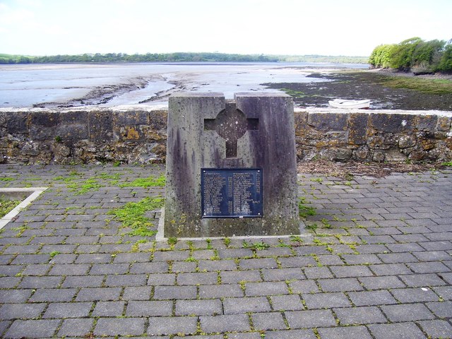
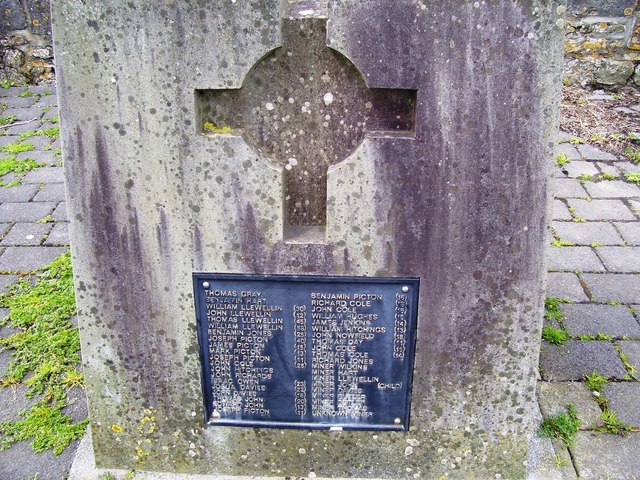
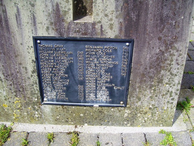
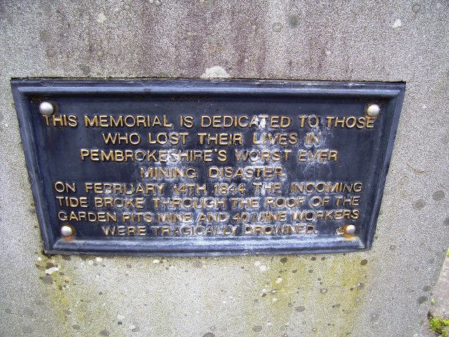
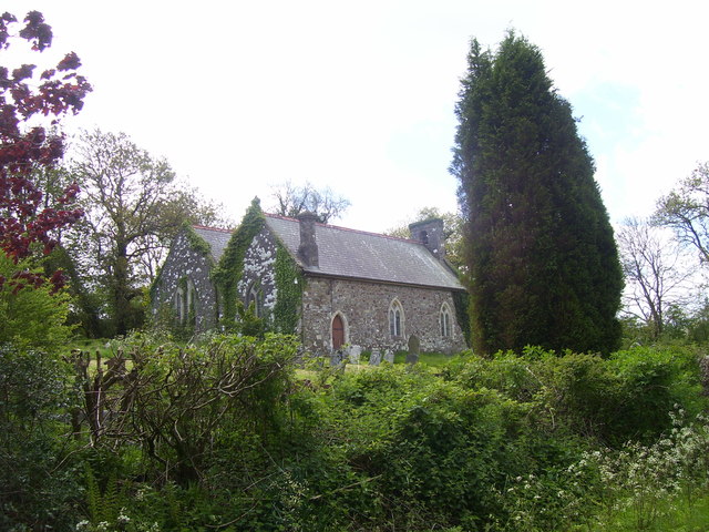
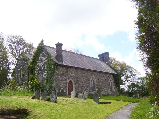
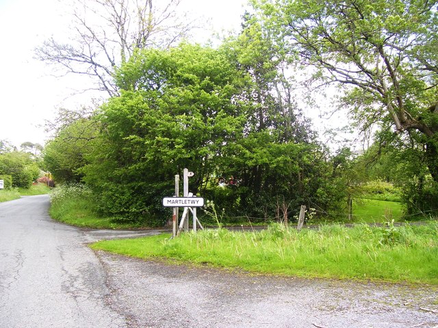
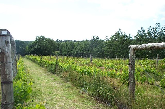
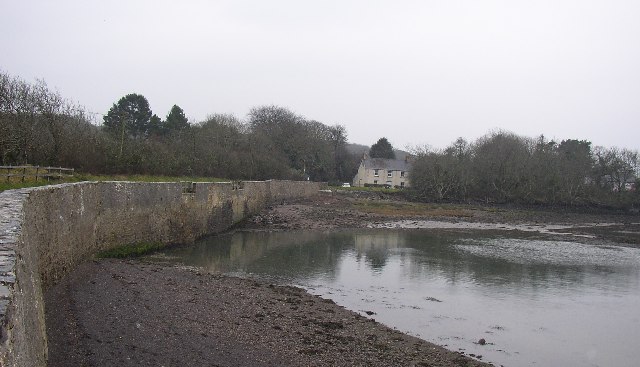
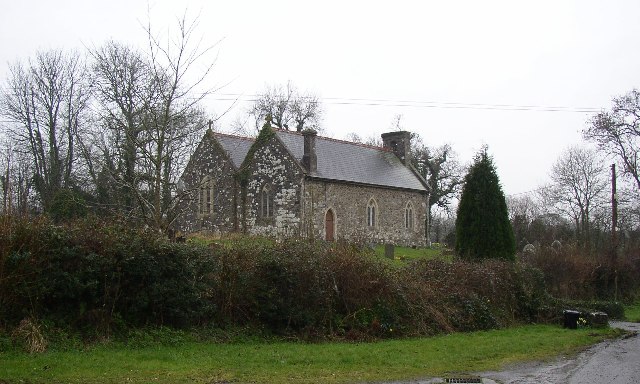
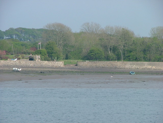
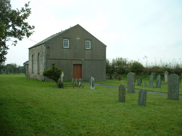
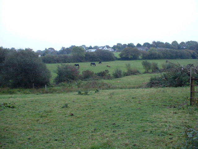
Burnett's Hill Images

Images are sourced within 2km of 51.752912/-4.8655692 or Grid Reference SN0209. Thanks to Geograph Open Source API. All images are credited.

Garden Pit Disaster Memorial - Landshipping Quay This memorial commemorates the Garden Pit disaster of 1844.  Further information is here - <span class="nowrap"><a title="http://www.welshcoalmines.co.uk/Carm/Landshipping.htm" rel="nofollow ugc noopener" href="http://www.welshcoalmines.co.uk/Carm/Landshipping.htm">Link</a><img style="margin-left:2px;" alt="External link" title="External link - shift click to open in new window" src="https://s1.geograph.org.uk/img/external.png" width="10" height="10"/></span>
Garden Pit Disaster Memorial - Landshipping Quay
This memorial commemorates the Garden Pit disaster of 1844. Further information is here - LinkExternal link
Landshipping Quay
Landshipping Quay
Landshipping Quay
Landshipping Quay
St Marcellus Church, Martletwy
Martletwy Village Sign
Cwm Deri Vineyard The vineyard is now the largest in Wales.
Cwm Deri Vineyard
The vineyard is now the largest in Wales.
Landshipping Quay, Martletwy This quay was reconstructed in 1801 by Sir Hugh Owen, for the export of coal from his mine nearby.
Landshipping Quay, Martletwy
This quay was reconstructed in 1801 by Sir Hugh Owen, for the export of coal from his mine nearby.
Martletwy Church St Marcellus's Church has nave, chancel, and an aisle the same width as the nave, with a bellcote at the western end.  It was much rebuilt in 1848-50 and the interior restored in 1896-7, but the chancel arch is probably 13C and there is a south porch of the 16C or 17C with a round arched doorway having a sundial carved into one of its arch-stones.  The font is Norman, with a square bowl with panelled sides.  The church is at SN033106.
Martletwy Church
St Marcellus's Church has nave, chancel, and an aisle the same width as the nave, with a bellcote at the western end. It was much rebuilt in 1848-50 and the interior restored in 1896-7, but the chancel arch is probably 13C and there is a south porch of the 16C or 17C with a round arched doorway having a sundial carved into one of its arch-stones. The font is Norman, with a square bowl with panelled sides. The church is at SN033106.
Landshipping Quay On 14th February 1844 , the estuary waters in foreground here broke into the "Garden Colliery" workings and sadly drowned 40 workers
Landshipping Quay
On 14th February 1844 , the estuary waters in foreground here broke into the "Garden Colliery" workings and sadly drowned 40 workers
Chapel at Martletwy Cross
Farmland near Weston Lane Farm The farm is visible in the distance.
Farmland near Weston Lane Farm
The farm is visible in the distance.
Farmland near Landshipping
Show me another place!

Burnett's Hill is located at Grid Ref: SN0209 (Lat: 51.752912, Lng: -4.8655692)

Unitary Authority: Pembrokeshire

Police Authority: Dyfed Powys

What 3 Words

///saints.croutons.image. Near Llangwm, Pembrokeshire

Nearby Locations

Burnett's Hill

Related Wikis

Martletwy

Martletwy is a village, parish and community in the county of Pembrokeshire, Wales. == Description == Martletwy lies in south of the county, the nearest...

Martletwy (electoral ward)

Martletwy is the name of an electoral ward in Pembrokeshire, Wales. It is bordered to the west by the River Cleddau and includes three communities within...

Big House, Landshipping

The Big House, also known as Landshipping House, is a historic house on the banks of the River Cleddau in Landshipping, Pembrokeshire, Wales. The house...

Coedcanlas

Coedcanlas is a small parish in Pembrokeshire, Wales, on the eastern shore of the Daugleddau estuary, 5 miles (8.0 km) north of Pembroke, in the Pembrokeshire...

Lawrenny

Lawrenny is a village and parish in the community and electoral ward of Martletwy in the county of Pembrokeshire, Wales. It is on a peninsula of the River...

Llangwm, Pembrokeshire

Llangwm (; Welsh pronunciation: [ˈɬangʊm]) is a small village, parish and community of around 450 properties situated on the Llangwm Pill off the River...

Minwear

Minwear is a former parish and village in the community of Martletwy, in the county of Pembrokeshire, Wales, on the Eastern Cleddau river, 4+1⁄2 miles...

Benton Castle

Benton Castle is a small fortification in the community of Burton, Pembrokeshire, Wales, now in use as a private house, in a wooded area overlooking the...

Nearby Amenities

Located within 500m of 51.752912,-4.8655692
Give Way
Direction: backward
Lat/Long: 51.7561571/-4.8665252
Give Way
Direction: forward
Lat/Long: 51.7516865/-4.8654825
Direction: 195
Generator Method: photovoltaic
Generator Output Electricity: yes
Generator Solar Modules: 16
Generator Source: solar
Generator Type: solar_photovoltaic_panel
Location: roof
Power: generator
Lat/Long: 51.7492039/-4.8667395
Burnetts Hill
Place: locality
Lat/Long: 51.7521063/-4.8660132
The data included in this document is from www.openstreetmap.org. The data is made available under ODbL.

Have you been to Burnett's Hill?

Leave your review of Burnett's Hill below (or comments, questions and feedback).