Eenan Hill
Hill, Mountain in Buteshire
Scotland
Eenan Hill

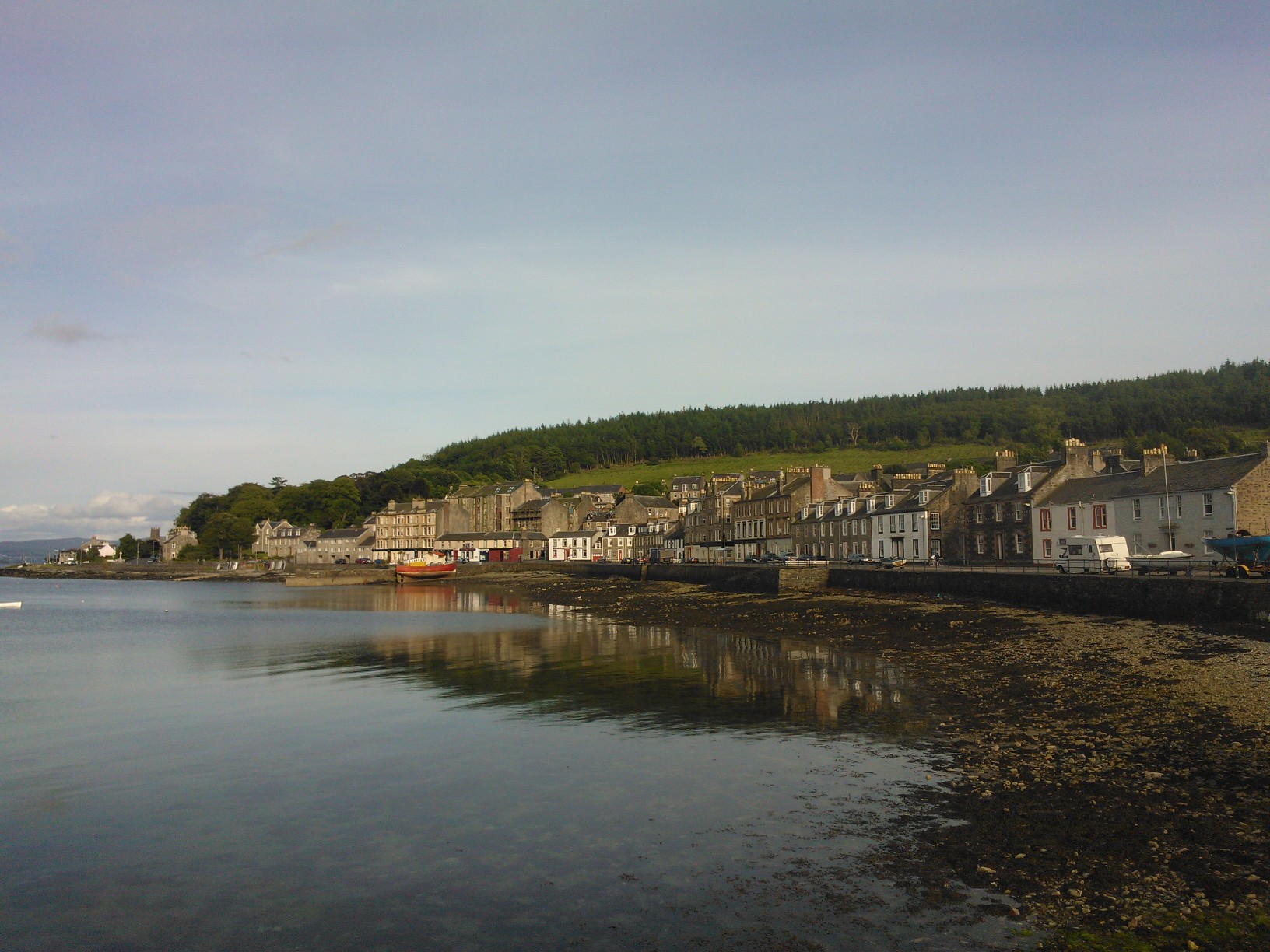
Eenan Hill is a prominent geographical feature located in Buteshire, Scotland. Rising to an elevation of approximately 357 meters (1,171 feet), it is classified as a hill or mountain depending on the perspective. Situated near the town of Rothesay on the Isle of Bute, Eenan Hill offers breathtaking views of the surrounding landscape and the Firth of Clyde.
Covered in lush green vegetation, the hill is known for its diverse flora and fauna. The slopes of Eenan Hill are home to a variety of plant species, including heather, gorse, and bracken, which create a picturesque landscape throughout the year. In spring, the hillside bursts into vibrant colors as wildflowers bloom, attracting numerous butterflies and bees.
Eenan Hill is a popular destination for hikers and nature enthusiasts. Several trails and paths wind their way up the hill, providing visitors with opportunities to explore its natural beauty. As one ascends the hill, the views become more panoramic, revealing the Isle of Bute's scenic coastline, neighboring islands, and, on clear days, even the distant mountains of mainland Scotland.
The summit of Eenan Hill offers a panoramic vantage point, making it a great spot for photographers and nature lovers to capture the stunning vistas. It also provides an ideal setting for picnics, where visitors can relax and enjoy the peaceful ambiance while taking in the breathtaking scenery.
Whether one considers it a hill or a mountain, Eenan Hill's natural beauty, diverse flora and fauna, and captivating views make it a must-visit destination for those exploring Buteshire and the Isle of Bute.
If you have any feedback on the listing, please let us know in the comments section below.
Eenan Hill Images
Images are sourced within 2km of 55.862202/-5.1671726 or Grid Reference NS0167. Thanks to Geograph Open Source API. All images are credited.


Eenan Hill is located at Grid Ref: NS0167 (Lat: 55.862202, Lng: -5.1671726)
Unitary Authority: Argyll and Bute
Police Authority: Argyll and West Dunbartonshire
What 3 Words
///poetic.kinks.resonates. Near Port Bannatyne, Argyll & Bute
Nearby Locations
Related Wikis
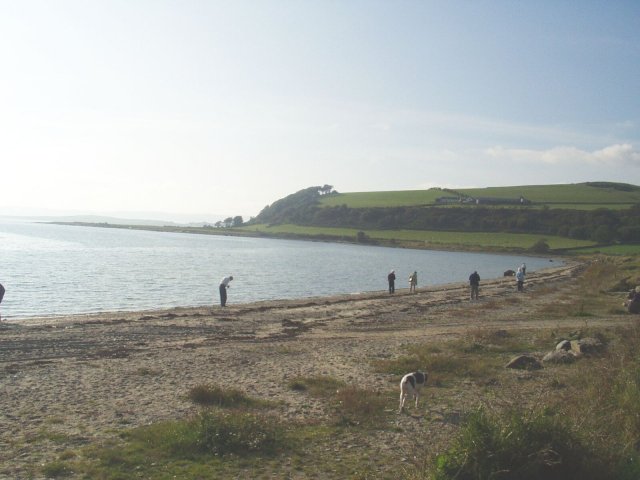
Ettrick Bay
Ettrick Bay is a wide, tidal, sandy coastal embayment with a chord of 1 mile (2 km), on a 218° bearing, located on the west coast of the Isle of Bute in...
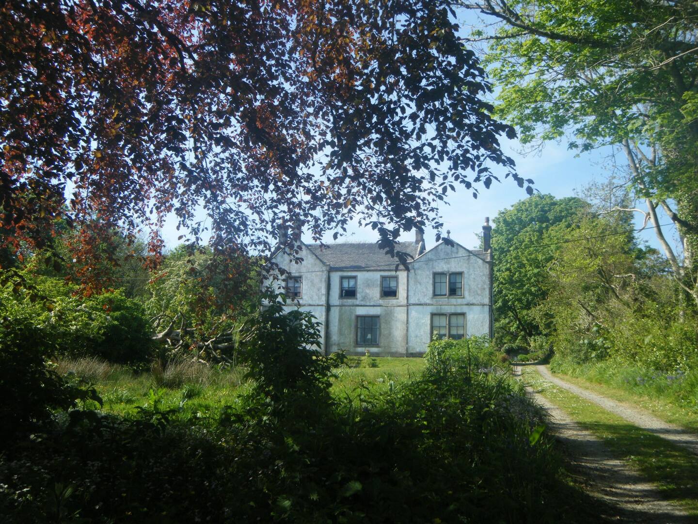
St Colmac Manse
St Colmac Manse (also known as Cnoc an Raer) is an historic building in St Colmac on the Isle of Bute, Scotland. Dating to around 1835, it was the clergy...
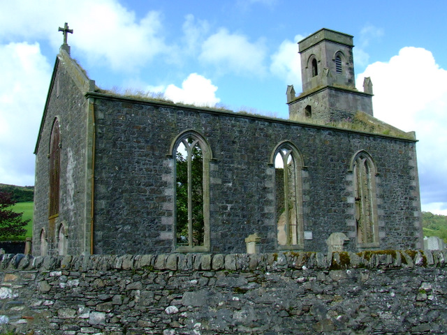
St Colmac's Church
St Colmac's Church is a ruined 19th-century church in St Colmac, north-east of Ettrick Bay, on the Isle of Bute, Argyll and Bute, Scotland. Built in 1835...
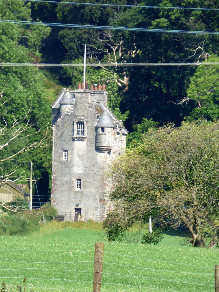
Wester Kames Castle
Wester Kames Castle is located near Kames Bay near Port Bannatyne, Isle of Bute, Scotland. Dating from around 1700, the castle was rebuilt around 1900...

Ardlamont House
Ardlamont House is a Georgian estate house lying at the tip of the Cowal peninsula, 5.5 kilometres (3.4 mi) south of Kames, in Argyll, Scotland. The house...

Kames Castle
Kames Castle is a 16th-century tower house located on the shore of Kames Bay near Port Bannatyne, on the Isle of Bute, Scotland. The castle, which is set...
Port Bannatyne
Port Bannatyne (Scottish Gaelic: Port MhicEamailinn), is a coastal village on the Isle of Bute, Firth of Clyde, Scotland that is home to many steamers...

Isle of Bute
The Isle of Bute (Scots: Buit; Scottish Gaelic: Eilean Bhòid or An t-Eilean Bòdach), known as Bute (), is an island in the Firth of Clyde in Scotland,...
Nearby Amenities
Located within 500m of 55.862202,-5.1671726Have you been to Eenan Hill?
Leave your review of Eenan Hill below (or comments, questions and feedback).