Brown Hill

Hill, Mountain in Wigtownshire

Scotland

Brown Hill

West Kirkbryde A large cluster of buildings at West Kirkbryde, on the northern slope of Brough Hill.
West Kirkbryde Credit: Anne Burgess

Brown Hill is a prominent landmark located in Wigtownshire, a historic county in southwestern Scotland. Situated in the picturesque landscape of Dumfries and Galloway, this hill is part of the Southern Uplands mountain range. It is notable for its stunning natural beauty, offering breathtaking views of the surrounding countryside.

Rising to an elevation of approximately 381 meters (1,250 feet), Brown Hill stands as an imposing presence in the region. Covered in lush greenery, it is a haven for wildlife and offers opportunities for outdoor enthusiasts to explore its diverse flora and fauna. The hill is known for its rich biodiversity, with a variety of plant species such as heather, grasses, and mosses thriving on its slopes.

Brown Hill also holds historical significance, as it is home to several ancient archaeological sites. There are remnants of Iron Age settlements and burial mounds, providing a glimpse into the area's past. The hill's strategic location has made it an important landmark throughout history, serving as a vantage point for military purposes.

Hiking and walking trails crisscross the hill, allowing visitors to enjoy a leisurely stroll or a more challenging hike to the summit. On a clear day, the panoramic views from the top are truly mesmerizing, with rolling hills, valleys, and distant peaks visible in all directions.

Overall, Brown Hill is a captivating destination that combines natural beauty, history, and outdoor recreational opportunities. It offers a serene escape for nature lovers and a chance to immerse oneself in the scenic wonders of Wigtownshire.

If you have any feedback on the listing, please let us know in the comments section below.
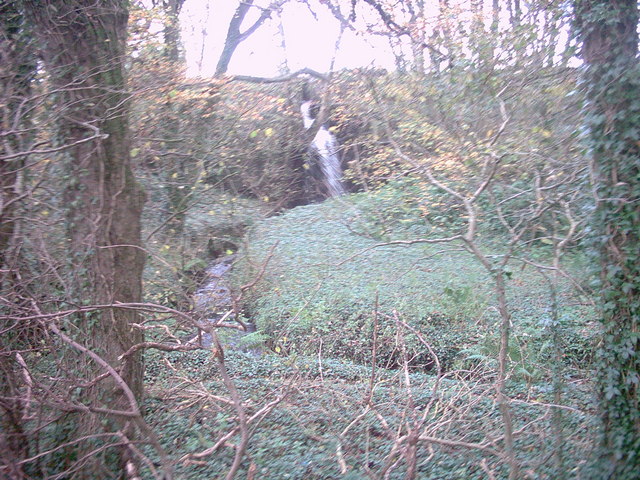
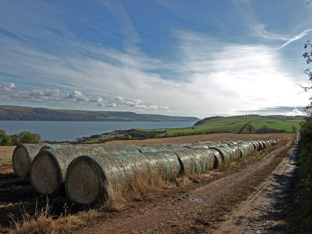
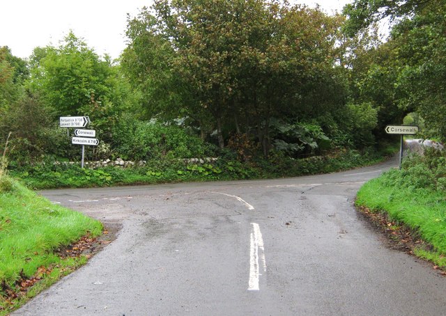
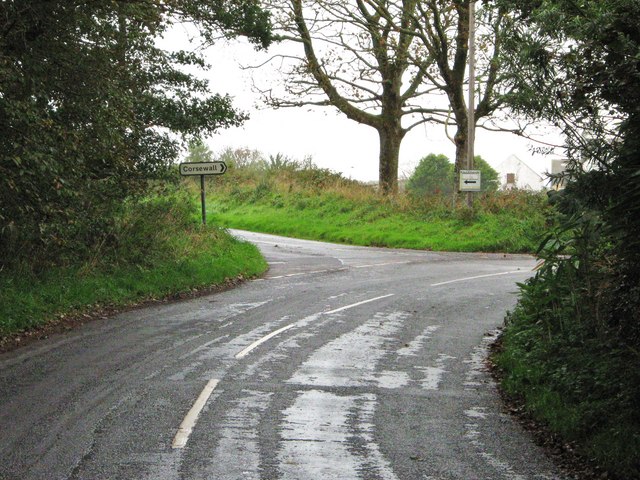
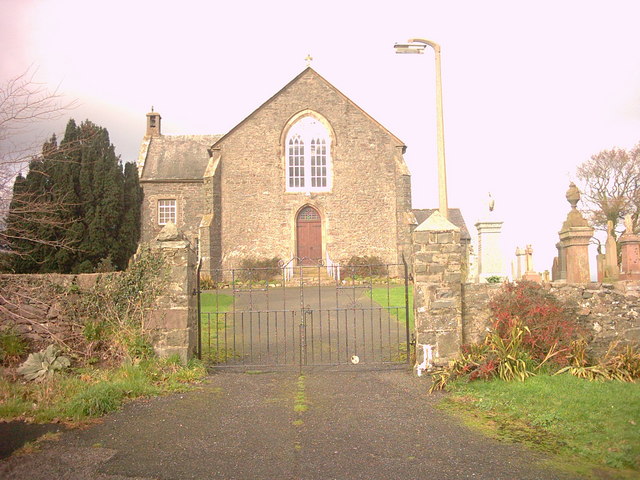
Brown Hill Images

Images are sourced within 2km of 54.984002/-5.1022958 or Grid Reference NX0169. Thanks to Geograph Open Source API. All images are credited.

West Kirkbryde A large cluster of buildings at West Kirkbryde, on the northern slope of Brough Hill.
West Kirkbryde
A large cluster of buildings at West Kirkbryde, on the northern slope of Brough Hill.
Minor road passing through farmland near to West Kirkbryde Looking south-westward
Minor road passing through farmland near to West Kirkbryde
Looking south-westward
Rush hour on the North Rhins! The turning on the left is the entrance to West Kirkbryde.  Knockneen can just be seen in the far distance.
Rush hour on the North Rhins!
The turning on the left is the entrance to West Kirkbryde. Knockneen can just be seen in the far distance.
B738 east of Cairnbowie
High Ardwell cottages These cottages stand on a minor road between Kirkcolm and Corsewall lighthouse.
High Ardwell cottages
These cottages stand on a minor road between Kirkcolm and Corsewall lighthouse.
Junction of minor roads Junction of a minor road and the lane leading to High Ardwell Farm, near Kirkcolm.
Junction of minor roads
Junction of a minor road and the lane leading to High Ardwell Farm, near Kirkcolm.
High Ardwell Farm, Near Kirkcolm The farm lies at the top of the Rhinns. Ailsa Craig can just be seen in the distance.
High Ardwell Farm, Near Kirkcolm
The farm lies at the top of the Rhinns. Ailsa Craig can just be seen in the distance.
Corsewall Mill Waterfall This waterfall used to power the waterwheel at Corsewall Mill before it was demolished. It is just outside Kirkcolm.
Corsewall Mill Waterfall
This waterfall used to power the waterwheel at Corsewall Mill before it was demolished. It is just outside Kirkcolm.
Knockodie Knockodie is a house at the junction of two minor roads leading to Corsewall Lighthouse or Lady Bay. It is just outside Kirkcolm.
Knockodie
Knockodie is a house at the junction of two minor roads leading to Corsewall Lighthouse or Lady Bay. It is just outside Kirkcolm.
Harvested Fields, The Rhins The farm in the distance is Heighton Farm.
Harvested Fields, The Rhins
The farm in the distance is Heighton Farm.
New Growth The Rhins, Wellhouse farm in the distance.
New Growth
The Rhins, Wellhouse farm in the distance.
Straw Bales, The Rhins Near Lady Bay.
Straw Bales, The Rhins
Near Lady Bay.
Mast, The Rhins
Mast, The Rhins
The Rhins Great sky.
The Rhins
Great sky.
Road junction, near Kirkcolm The road to the right is the A718 to Kirkcolm and the one to the left is a minor one to Corsewall.  The view is taken from the B738.
Road junction, near Kirkcolm
The road to the right is the A718 to Kirkcolm and the one to the left is a minor one to Corsewall. The view is taken from the B738.
Junction of three roads Turn left for Portpatrick and right for Corsewall.
Junction of three roads
Turn left for Portpatrick and right for Corsewall.
Kirkcolm Church Kirkcolm Church taken from the other side of Church Hill (the road in front of the church). In the grounds is the Kilmorie Cross which was carved in the 10th century.
Kirkcolm Church
Kirkcolm Church taken from the other side of Church Hill (the road in front of the church). In the grounds is the Kilmorie Cross which was carved in the 10th century.
Kircolm Rush Hour Even the bus stop is so laid back it's screwed to the front of the house....
Kircolm Rush Hour
Even the bus stop is so laid back it's screwed to the front of the house....
Show me another place!

Brown Hill is located at Grid Ref: NX0169 (Lat: 54.984002, Lng: -5.1022958)

Unitary Authority: Dumfries and Galloway

Police Authority: Dumfries and Galloway

What 3 Words

///digests.loafing.motivates. Near Cairnryan, Dumfries & Galloway

Nearby Locations

Mahaar Moss Brown Hill

Related Wikis

Kirkcolm

Kirkcolm (Scots: Kirkcoam) is a village and civil parish on the northern tip of the Rhinns of Galloway peninsula, south-west Scotland. It is in Dumfries...

RAF Wig Bay

Royal Air Force Wig Bay, or more simply RAF Wig Bay, is a former Royal Air Force station near Stranraer, Dumfries and Galloway, Scotland The following...

Ervie

Ervie is a small village in Dumfries and Galloway, Scotland, in the Rhins of Galloway, just outside Stranraer.

Corsewall Point

Corsewall Point, or Corsill Point, is a headland at the northern end of the Rhins of Galloway in Scotland. A lighthouse, Corsewall Lighthouse, was placed...

Loch Ryan

Loch Ryan (Scottish Gaelic: Loch Rìoghaine, pronounced [l̪ˠɔx ˈrˠiː.ɛɲə]) is a Scottish sea loch that acts as an important natural harbour for shipping...

Cairnryan Harbour

Cairnryan Harbour is a roll-on ferry terminal on Loch Ryan in south west Scotland north of Stranraer. In World War II it was developed as an emergency...

Cairnryan

Cairnryan (Scots: The Cairn; Scottish Gaelic: Càrn Rìoghain or Machair an Sgithich) is a village in the historical county of Wigtownshire, Dumfries and...

Leswalt

Leswalt (Scottish Gaelic: Lios Uillt) is a village and civil parish in Dumfries and Galloway, south-west Scotland. It lies between Portpatrick and Stranraer...

Nearby Amenities

Located within 500m of 54.984002,-5.1022958
Mahaar
Naptan AtcoCode: 680004022333
Naptan Bearing: E
Naptan BusStopType: CUS
Naptan CommonName: Mahaar
Naptan Indicator: Farm
Naptan Landmark: at B738
Naptan NaptanCode: 34238759
Naptan Street: A718
Naptan Verified: no
Source: naptan_import
Lat/Long: 54.9861078/-5.099747
Ardwell Shop
Naptan AtcoCode: 680004022444
Naptan Bearing: W
Naptan BusStopType: CUS
Naptan CommonName: Ardwell Shop
Naptan Indicator: Opp Farm
Naptan Landmark: at B738
Naptan NaptanCode: 34238762
Naptan Street: A718
Naptan Verified: no
Source: naptan_import
Lat/Long: 54.9860181/-5.0997401
Power: pole
Lat/Long: 54.9818004/-5.0957653
Power: pole
Lat/Long: 54.9823606/-5.0971413
Power: pole
Lat/Long: 54.9827085/-5.0980693
Power: pole
Lat/Long: 54.9831117/-5.0991046
Power: pole
Lat/Long: 54.983471/-5.0999876
Power: pole
Lat/Long: 54.9839533/-5.1012506
Power: pole
Lat/Long: 54.9843291/-5.1022321
Power: pole
Lat/Long: 54.9846277/-5.1030099
Power: pole
Lat/Long: 54.9850109/-5.1039594
Power: pole
Lat/Long: 54.9855727/-5.1053891
Power: pole
Lat/Long: 54.985922/-5.1067275
Power: pole
Lat/Long: 54.9863852/-5.1081866
Power: pole
Lat/Long: 54.98658/-5.1059529
Power: pole
Lat/Long: 54.9871982/-5.105157
Power: pole
Lat/Long: 54.9878097/-5.1043706
Power: pole
Lat/Long: 54.9868332/-5.0980649
Power: pole
Lat/Long: 54.9840179/-5.0991518
Power: pole
Lat/Long: 54.9846227/-5.0982715
Power: pole
Lat/Long: 54.9852141/-5.0974498
Power: pole
Lat/Long: 54.9856775/-5.0967268
Power: pole
Lat/Long: 54.9862648/-5.0974123
The data included in this document is from www.openstreetmap.org. The data is made available under ODbL.

Have you been to Brown Hill?

Leave your review of Brown Hill below (or comments, questions and feedback).