Arnolds Hill

Hill, Mountain in Pembrokeshire

Wales

Arnolds Hill

Field gate, Arnolds Hill Looking towards the field gate by the busy section of the A40, with a view of South Dairy Mountain in the distance.
Field gate, Arnolds Hill Credit: Martyn Harries

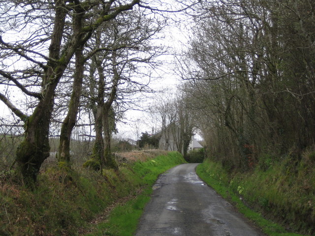
Arnolds Hill is a prominent hill located in Pembrokeshire, Wales, known for its stunning views and challenging hiking trails. Rising to an elevation of approximately 210 meters, Arnolds Hill offers panoramic views of the surrounding countryside and coastline, making it a popular destination for outdoor enthusiasts and nature lovers.

The hill is covered in lush green vegetation, including grasses, heather, and wildflowers, creating a picturesque landscape that changes with the seasons. Visitors to Arnolds Hill can enjoy a variety of walking and hiking routes that cater to all levels of fitness, with paths ranging from gentle slopes to steep inclines.

At the summit of Arnolds Hill, hikers are rewarded with breathtaking views of the Pembrokeshire Coast National Park, as well as the nearby towns and villages. On a clear day, it is possible to see as far as the Preseli Hills and even the Irish Sea.

Overall, Arnolds Hill is a must-visit destination for anyone looking to experience the natural beauty and tranquility of Pembrokeshire.

If you have any feedback on the listing, please let us know in the comments section below.
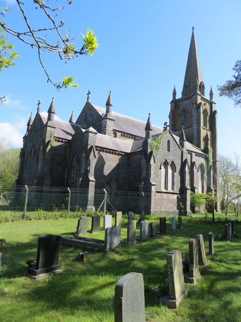
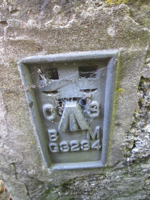
Arnolds Hill Images

Images are sourced within 2km of 51.802972/-4.8835273 or Grid Reference SN0115. Thanks to Geograph Open Source API. All images are credited.

Field gate, Arnolds Hill Looking towards the field gate by the busy section of the A40, with a view of South Dairy Mountain in the distance.
Field gate, Arnolds Hill
Looking towards the field gate by the busy section of the A40, with a view of South Dairy Mountain in the distance.
A40 heading for Arnolds Hill Heading for the top of Arnolds Hill from Slebech on the A40 before descending  towards Haverfordwest.
A40 heading for Arnolds Hill
Heading for the top of Arnolds Hill from Slebech on the A40 before descending towards Haverfordwest.
Slebech Church This church is now deserted and derelict. Surrounded by security fencing to prevent access. The graveyard is reachable though.
Slebech Church
This church is now deserted and derelict. Surrounded by security fencing to prevent access. The graveyard is reachable though.
Ordnance Survey Flush Bracket G3234 This can be found on the wall of a house at Slebech.
For more detail see : <span class="nowrap"><a title="http://www.bench-marks.org.uk/log?bm_key=11150" rel="nofollow ugc noopener" href="http://www.bench-marks.org.uk/log?bm_key=11150">Link</a><img style="margin-left:2px;" alt="External link" title="External link - shift click to open in new window" src="https://s1.geograph.org.uk/img/external.png" width="10" height="10"/></span>
Ordnance Survey Flush Bracket G3234
This can be found on the wall of a house at Slebech. For more detail see : LinkExternal link
Entrance to Slebech, A40 westbound
A40 westbound
A40 westbound
A40 westbound
A40 westbound
Ordnance Survey Flush Bracket (G3234) This OS Flush Bracket can be found on Thorn Bush House to the north of the road. It marks a point 69.032m above mean sea level.
Ordnance Survey Flush Bracket (G3234)
This OS Flush Bracket can be found on Thorn Bush House to the north of the road. It marks a point 69.032m above mean sea level.
Ordnance Survey Rivet This OS rivet can be found on a north facing buttress of St John the Baptist Church. It marks a point 70.997m above mean sea level.
Ordnance Survey Rivet
This OS rivet can be found on a north facing buttress of St John the Baptist Church. It marks a point 70.997m above mean sea level.
The A40 at Slebech
The A40 at Slebech
Green Bower car sales at Slebech
Farm Outbuilding On Arnold's Hill Called 'The Square' on the map. An unusual name. I wonder how it came about
Farm Outbuilding On Arnold's Hill
Called 'The Square' on the map. An unusual name. I wonder how it came about
Woodlands Smallholding on the lane towards Llawhaden.
Woodlands
Smallholding on the lane towards Llawhaden.
Wiston Wood On the forestry track a few metres off the lane from Haverfordwest to Llawhaden.
Wiston Wood
On the forestry track a few metres off the lane from Haverfordwest to Llawhaden.
Wood Barn farm On the footpath just south of the lane from Haverfordwest to Llawhaden.
Wood Barn farm
On the footpath just south of the lane from Haverfordwest to Llawhaden.
Valley Farm Where the road to Wiston via Conkland Hill meets the lane from Haverfordwest to Llawhaden.
Valley Farm
Where the road to Wiston via Conkland Hill meets the lane from Haverfordwest to Llawhaden.
Picton Home Farm From the lane by The Rhos.
Picton Home Farm
From the lane by The Rhos.
Picton Castle - Lake
Show me another place!

Arnolds Hill is located at Grid Ref: SN0115 (Lat: 51.802972, Lng: -4.8835273)

Unitary Authority: Pembrokeshire

Police Authority: Dyfed Powys

What 3 Words

///settle.cherry.recur. Near Wiston, Pembrokeshire

Nearby Locations

Arnolds Hill

Related Wikis

Uzmaston, Boulston and Slebech

Uzmaston, Boulston and Slebech is a community in Pembrokeshire, Wales, which includes the villages of Uzmaston, Boulston and Slebech, and the Haverfordwest...

Slebech

Slebech was a community (prior to 1974, a civil parish) in Pembrokeshire, Wales, which is now part of the combined community of Uzmaston and Boulston and...

Picton Castle

Picton Castle (Welsh: Castell Pictwn) is a medieval castle near Haverfordwest in the community of Uzmaston, Boulston and Slebech, Pembrokeshire, Wales...

Wiston, Pembrokeshire

Wiston (Welsh: Cas-Wis) is a village, parish and community in Pembrokeshire, Wales, in the United Kingdom. It was once a marcher borough. George Owen,...

Nearby Amenities

Located within 500m of 51.802972,-4.8835273
Man Made: survey_point
Lat/Long: 51.8029708/-4.8835388
Power: pole
Lat/Long: 51.8005742/-4.8886693
Power: pole
Lat/Long: 51.800541/-4.8866791
Power: pole
Lat/Long: 51.8004979/-4.8835301
Power: pole
Lat/Long: 51.8004714/-4.8821622
Power: pole
Lat/Long: 51.8004183/-4.880687
The data included in this document is from www.openstreetmap.org. The data is made available under ODbL.

Have you been to Arnolds Hill?

Leave your review of Arnolds Hill below (or comments, questions and feedback).