Creag nan Eilid

Hill, Mountain in Ross-shire

Scotland

Creag nan Eilid

Faochaig View from the west, across Coire Shlat.
Faochaig Credit: Richard Webb

The requested URL returned error: 429 Too Many Requests

If you have any feedback on the listing, please let us know in the comments section below.

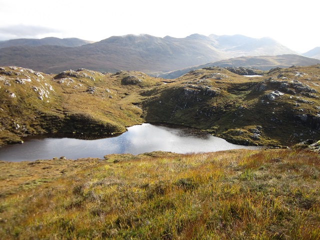
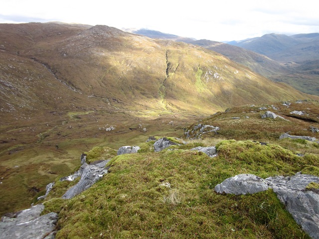
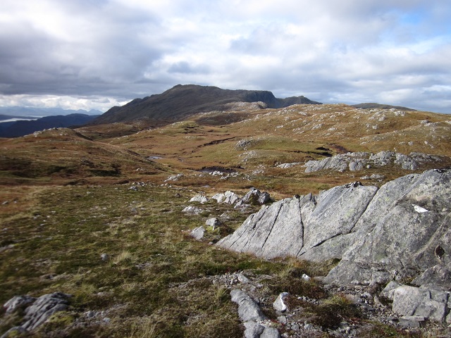
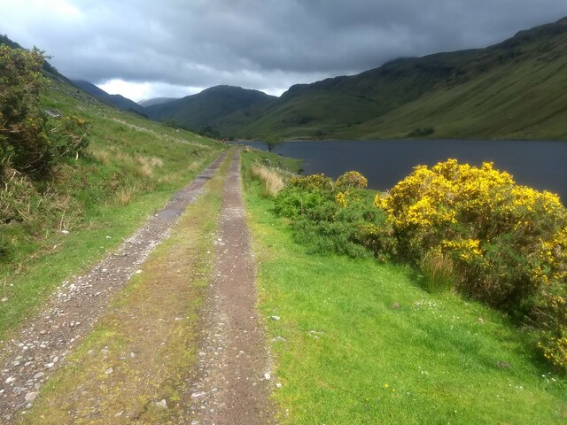
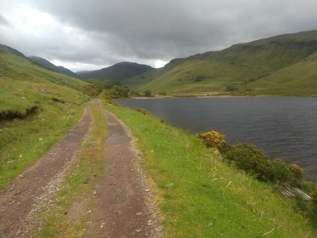
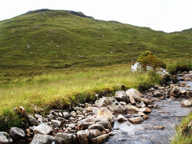
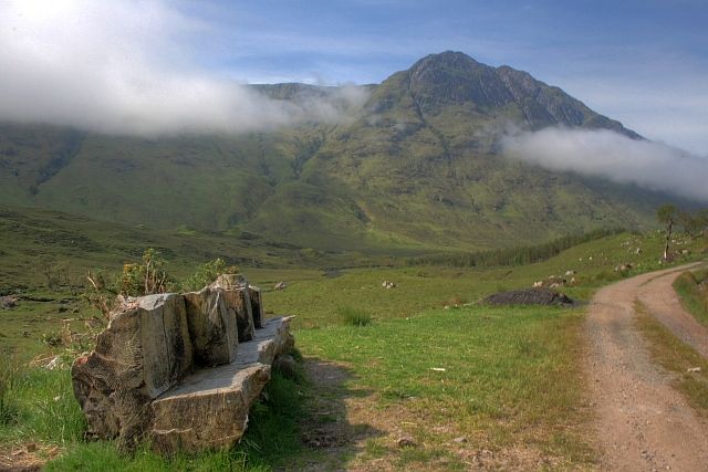
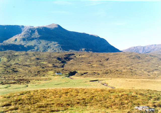
Creag nan Eilid Images

Images are sourced within 2km of 57.313159/-5.303834 or Grid Reference NH0129. Thanks to Geograph Open Source API. All images are credited.

Faochaig View from the west, across Coire Shlat.
Faochaig
View from the west, across Coire Shlat.
General view NH0031 Eastern of three coires radiating out from this view point.
In former times this was probably an area of summer grazing, now primarily used for deer stalking.
General view NH0031
Eastern of three coires radiating out from this view point. In former times this was probably an area of summer grazing, now primarily used for deer stalking.
NH 0128 general view View across NE part of km square.
An area punctuated with numerous lochans.
NH 0128 general view
View across NE part of km square. An area punctuated with numerous lochans.
NH 0129 general view View across northern half of km square from summit of Creag nan Eilid.
NH 0129 general view
View across northern half of km square from summit of Creag nan Eilid.
NH 0029 general view View across northern part of km square. Sguman Coinntich in distance.
Note wind scoured vegetation in foreground. Rough grazing and peat hags in hollow beyond.
NH 0029 general view
View across northern part of km square. Sguman Coinntich in distance. Note wind scoured vegetation in foreground. Rough grazing and peat hags in hollow beyond.
When the gorse is in bloom.... ...kissing is in season.  Luckily our two species of gorse, between them, flower throughout the year.
When the gorse is in bloom....
...kissing is in season. Luckily our two species of gorse, between them, flower throughout the year.
The track alongside Loch na Leitreach
High Level Bog Looking south from near the small summit of Sron na Gaoithe on the big rolling ridge between the 2 Corbetts of Sguman Coinntich and Faochaig, Killilan Forest.
The big hills were in cloud - a good day for Corbetts.
High Level Bog
Looking south from near the small summit of Sron na Gaoithe on the big rolling ridge between the 2 Corbetts of Sguman Coinntich and Faochaig, Killilan Forest. The big hills were in cloud - a good day for Corbetts.
Lower Slopes of Faochaig Descending the Corbett of Faochaig, with the other Corbett on this fine ridge just managing to stay out of the clouds.
Lower Slopes of Faochaig
Descending the Corbett of Faochaig, with the other Corbett on this fine ridge just managing to stay out of the clouds.
Allt Coireag Searrach Remote terrain, Killilan Forest west of Faochaig. The obvious notch is the Bealach Mhic Bheathain, just north of the Corbett of Sguman Coinntich.
Allt Coireag Searrach
Remote terrain, Killilan Forest west of Faochaig. The obvious notch is the Bealach Mhic Bheathain, just north of the Corbett of Sguman Coinntich.
Stream on south side of Faochaig Stream on south side of Faochaig. The very distinctive, dark mountain to the left-centre of the photo is the "Graham" Carnan Cruithneachd <a href="https://www.geograph.org.uk/gridref/NG9925">NG9925</a>.
Stream on south side of Faochaig
Stream on south side of Faochaig. The very distinctive, dark mountain to the left-centre of the photo is the "Graham" Carnan Cruithneachd NG9925.
Allt Domhain A steep sided wooded valley with Creag nan Eilid at its head.
Allt Domhain
A steep sided wooded valley with Creag nan Eilid at its head.
Coire Shlat View from east ridge of Sguman Coinntich, looking almost vertically downwards into Coire Shlat.
Coire Shlat
View from east ridge of Sguman Coinntich, looking almost vertically downwards into Coire Shlat.
Loch nan Ealachan This loch contains a small island and a large island, both of which can be seen in this photo. The corbett Sguman Coinntich is poking up above the cloud in the background.
Loch nan Ealachan
This loch contains a small island and a large island, both of which can be seen in this photo. The corbett Sguman Coinntich is poking up above the cloud in the background.
Stalkers path near Loch nan Ealachan The stalkers path has come up from Glen Elchaig and finishes once in reaches the steep slopes in the background.
Stalkers path near Loch nan Ealachan
The stalkers path has come up from Glen Elchaig and finishes once in reaches the steep slopes in the background.
Allt a' Ghlas-choire The Allt a' Ghlas-choire drops down the southern slopes of Sguman Coinntich.
Allt a' Ghlas-choire
The Allt a' Ghlas-choire drops down the southern slopes of Sguman Coinntich.
Creag nan Eilid
Creag nan Eilid
Defile of the Allt a' Ghlas-choire The burn passes through a short, narrow gap before dropping into Glas-choire.
Defile of the Allt a' Ghlas-choire
The burn passes through a short, narrow gap before dropping into Glas-choire.
Show me another place!

Creag nan Eilid is located at Grid Ref: NH0129 (Lat: 57.313159, Lng: -5.303834)

Unitary Authority: Highland

Police Authority: Highlands and Islands

What 3 Words

///fans.hoped.prepared. Near Lochcarron, Highland

Related Wikis

Sguman Coinntich

Sguman Coinntich (879 m) is a mountain in the Northwest Highlands, Scotland, east of the village of Dornie in Ross-shire. Sguman Coinntich is the highest...

Falls of Glomach

The Falls of Glomach, in Ross-shire, Scotland, is one of the tallest waterfalls in Britain, with a drop of 113 m (370 ft). The falls border Kintail, donated...

Carnan Cruithneachd

Carnan Cruithneachd (728 m) is a mountain in the Northwest Highlands of Scotland. It is located in the Kintail area of Ross-shire, on the southern side...

Aonach Buidhe

Aonach Buidhe (899 m) is a remote mountain in the Northwest Highlands of Ross and Cromarty in northwest Scotland. The nearest village is Dornie. The usual...

Nearby Amenities

Located within 500m of 57.313159,-5.303834
Creag nan Eilid
Natural: peak
Wikidata: Q20595409
Lat/Long: 57.3129424/-5.3045083
The data included in this document is from www.openstreetmap.org. The data is made available under ODbL.

Have you been to Creag nan Eilid?

Leave your review of Creag nan Eilid below (or comments, questions and feedback).