Cnoc Mòr
Hill, Mountain in Argyllshire
Scotland
Cnoc Mòr
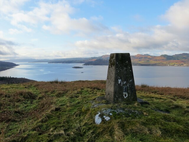
Cnoc Mòr, located in Argyllshire, Scotland, is a prominent hill/mountain in the area. Rising to an elevation of approximately 369 meters (1,211 feet), it offers awe-inspiring views of the surrounding landscape. Situated within the Argyll Forest Park, this natural landmark is a popular destination for hikers, nature enthusiasts, and outdoor adventurers.
Cnoc Mòr boasts a diverse and picturesque terrain, featuring heather-clad slopes, rocky outcrops, and lush green valleys. Its summit offers panoramic vistas, allowing visitors to marvel at the breathtaking beauty of the surrounding countryside, including Loch Fyne and the Kintyre Peninsula.
The hill/mountain is accessible via various well-marked trails, providing options for both experienced hikers and those seeking a more leisurely stroll. The paths wind through ancient woodlands, offering opportunities to spot wildlife such as red deer, golden eagles, and red squirrels along the way.
Cnoc Mòr holds cultural and historical significance as well. The hill/mountain is part of the traditional lands of the Clan Campbell and is believed to have played a role in their ancient gatherings. The remnants of old settlements and archaeological sites can also be found in the vicinity, adding to its historical allure.
Overall, Cnoc Mòr in Argyllshire is a captivating natural landmark that offers a combination of stunning scenery, outdoor recreation, and historical significance. Whether one seeks adventure, tranquility, or a deeper connection to Scotland's rich heritage, a visit to Cnoc Mòr is sure to leave a lasting impression.
If you have any feedback on the listing, please let us know in the comments section below.
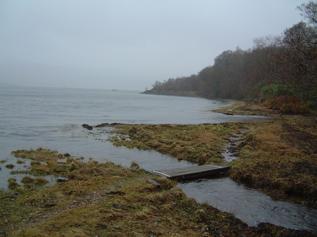
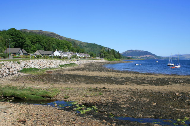
Cnoc Mòr Images
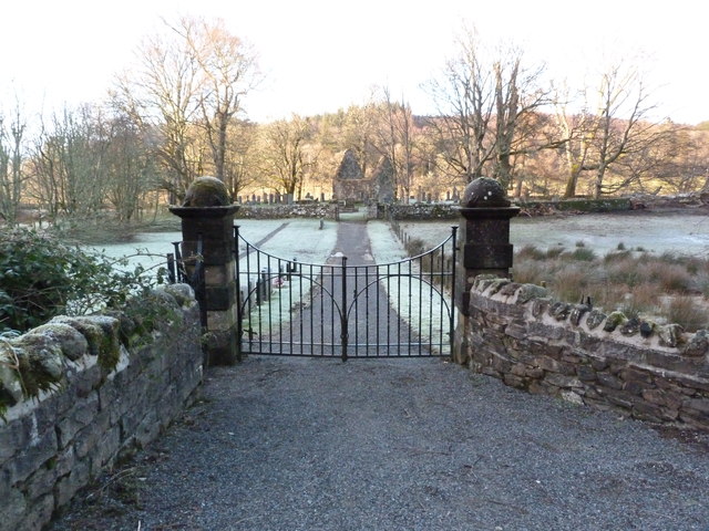
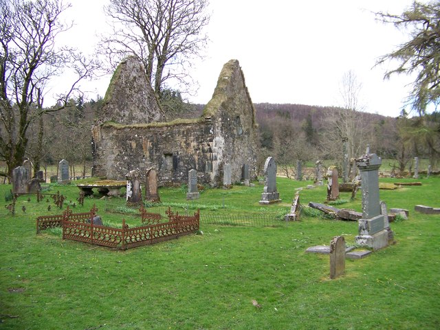
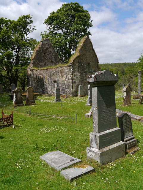
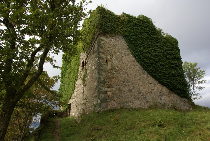
Images are sourced within 2km of 56.102089/-5.208527 or Grid Reference NS0094. Thanks to Geograph Open Source API. All images are credited.


Cnoc Mòr is located at Grid Ref: NS0094 (Lat: 56.102089, Lng: -5.208527)
Unitary Authority: Argyll and Bute
Police Authority: Argyll and West Dunbartonshire
What 3 Words
///choppy.waxing.bookings. Near Lochgilphead, Argyll & Bute
Nearby Locations
Related Wikis
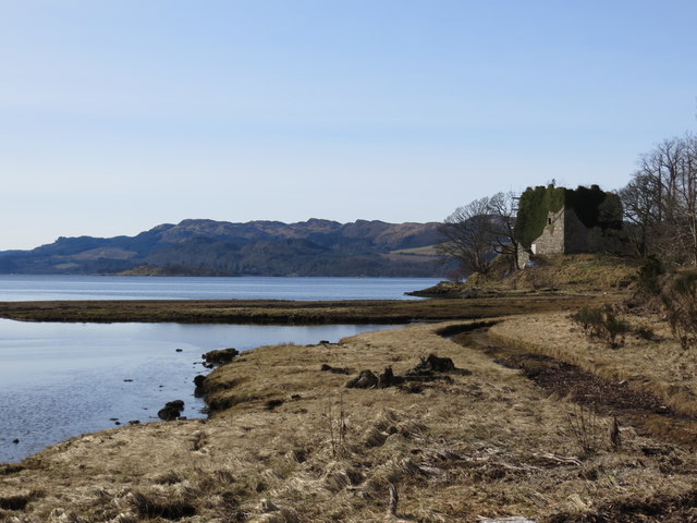
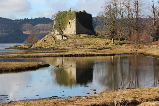
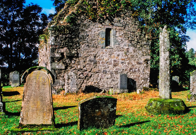
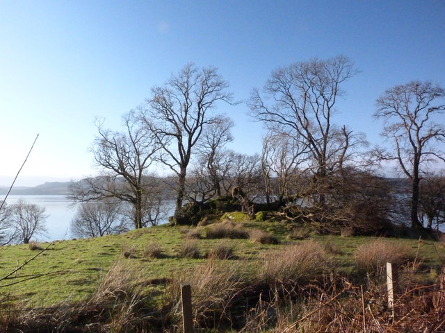
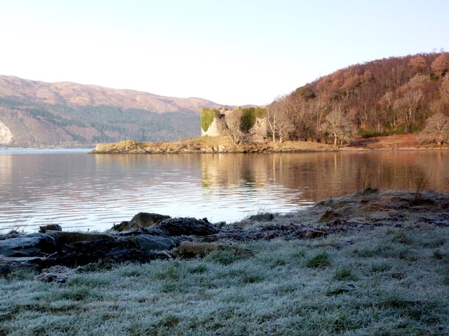
Old Castle Lachlan
Old Castle Lachlan, also known as Castle Lachlan, is a ruined 15th-century castle on the shore of Loch Fyne, within the Cowal Peninsula, in Argyll and...

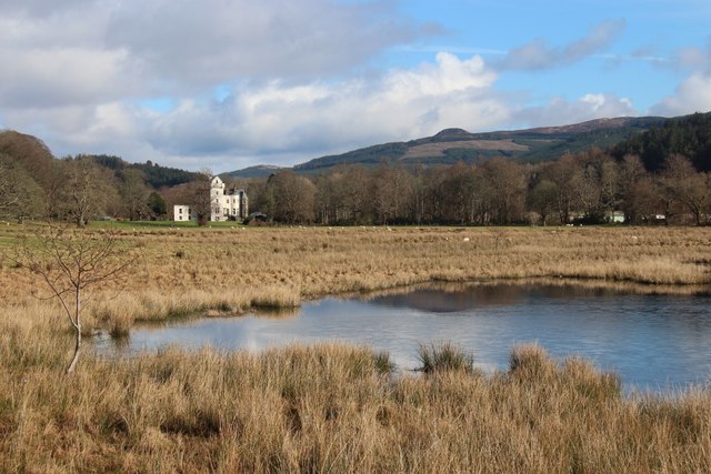
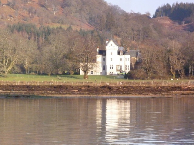
New Castle Lachlan
New Castle Lachlan, is an 18th-century baronial mansion or country house located at Strathlachlan, Cowal peninsula, Argyll and Bute, Scotland. It was built...
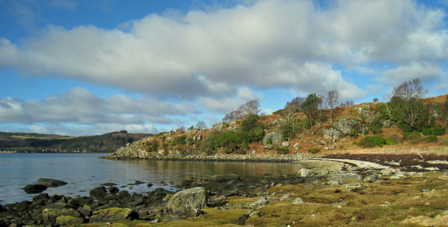
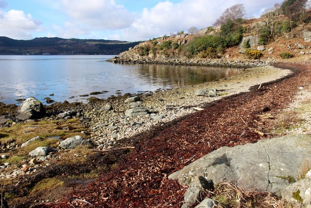
Achagoyle Bay
Achagoyle Bay is coastal embayment, on a chord of 0.75 miles, on a 114° orientation, on the western coast of the longest sea loch in Scotland, Loch Fyne...
Minard, Argyll
Minard is a remote village on the western shore of Loch Fyne, situated between Inveraray and Lochgilphead. Minard is 13+1⁄2 miles (21.7 km) southwest of...
Nearby Amenities
Located within 500m of 56.102089,-5.208527Have you been to Cnoc Mòr?
Leave your review of Cnoc Mòr below (or comments, questions and feedback).