High Sellafield
Settlement in Cumberland Copeland
England
High Sellafield
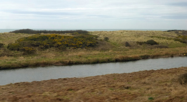
High Sellafield is a small village located in the county of Cumberland, in the northwest region of England. Situated on the western coast of the country, it lies within the picturesque Lake District National Park, known for its stunning landscapes and natural beauty.
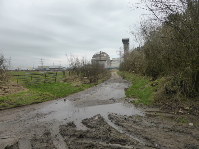
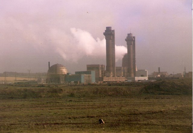
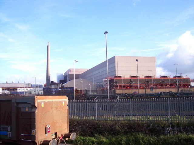
The village is primarily known for its close proximity to the Sellafield nuclear site, which is one of the largest and most important nuclear facilities in the United Kingdom. The site, originally used for the production of plutonium during World War II, has since evolved into a complex that includes reprocessing plants, waste storage facilities, and decommissioning projects.
Due to its association with the nuclear industry, High Sellafield has a relatively small population, consisting mainly of employees and their families who work at the site. The village offers limited amenities, including a small convenience store, a primary school, and a community center.
Despite its industrial surroundings, High Sellafield benefits from its location within the Lake District National Park. The area offers a wide range of outdoor activities, such as hiking, fishing, and boating, attracting visitors from across the country. The village also serves as a gateway to the park, providing easy access to the stunning mountains and lakes that make up the region.
Overall, High Sellafield is a unique village, situated in a beautiful yet controversial location. Its close connection to the Sellafield nuclear site shapes the community and its economy, while the natural surroundings provide a welcome escape for residents and visitors alike.
If you have any feedback on the listing, please let us know in the comments section below.
High Sellafield Images
Images are sourced within 2km of 54.423414/-3.510261 or Grid Reference NY0204. Thanks to Geograph Open Source API. All images are credited.


High Sellafield is located at Grid Ref: NY0204 (Lat: 54.423414, Lng: -3.510261)
Administrative County: Cumbria
District: Copeland
Police Authority: Cumbria
What 3 Words
///ditched.reds.carpeted. Near Seascale, Cumbria
Nearby Locations
Related Wikis

Moorside clean energy hub
Moorside clean energy hub is a proposal put forward on 30 June 2020 by two consortia, one led by EDF and the other by Rolls-Royce, to create an energy...
Moorside nuclear power station
Moorside nuclear power station is proposed for a site near Sellafield, in Cumbria, England. The original plan by NuGeneration, a British subsidiary of...
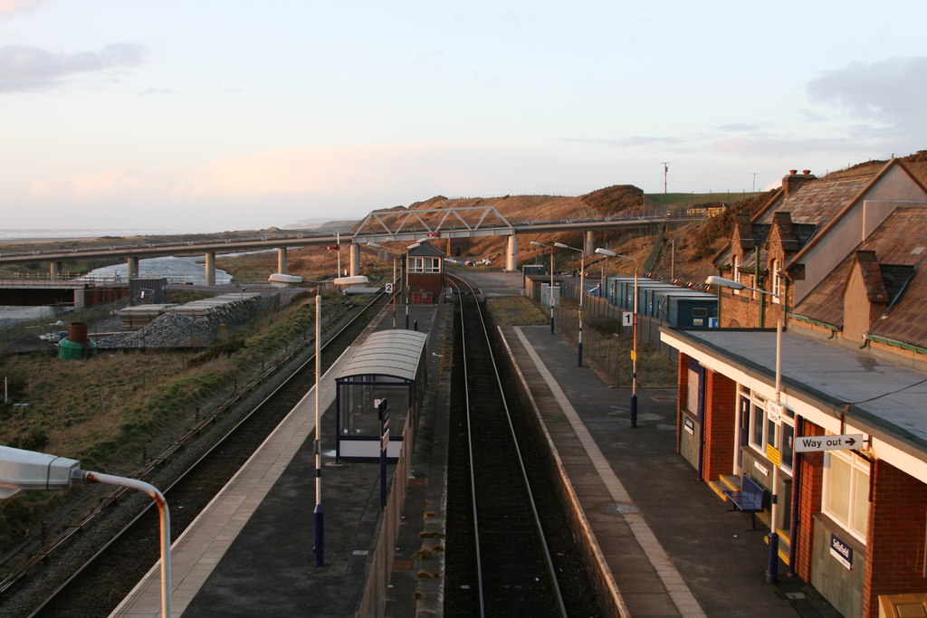
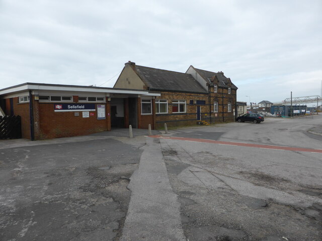
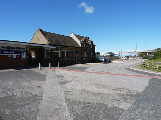
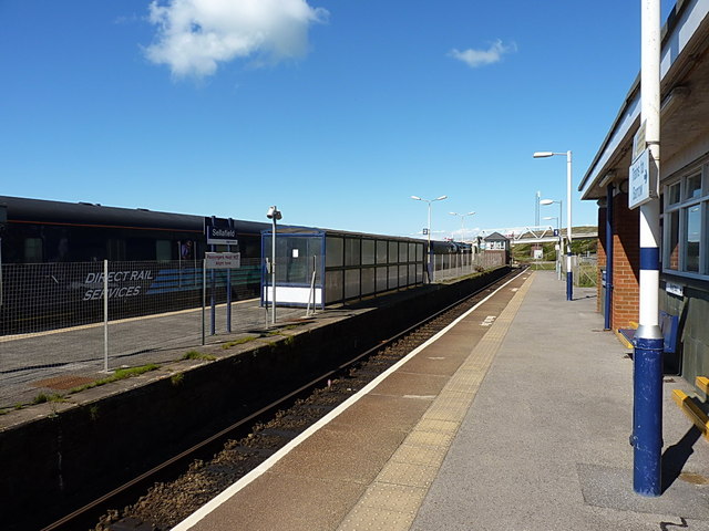
Sellafield railway station
Sellafield is a railway station on the Cumbrian Coast Line, which runs between Carlisle and Barrow-in-Furness. The station, situated 35 miles (56 km) north...
Windscale Piles
The Windscale Piles were two air-cooled graphite-moderated nuclear reactors on the Windscale nuclear site in Cumberland (now known as Sellafield site,...
Windscale fire
The Windscale fire of 10 October 1957 was the worst nuclear accident in the United Kingdom's history, and one of the worst in the world, ranked in severity...

Sellafield
Sellafield, formerly known as Windscale, is a large multi-function nuclear site close to Seascale on the coast of Cumbria, England. As of August 2022,...
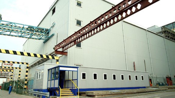
Magnox Reprocessing Plant
The Magnox Reprocessing Plant is a former nuclear reprocessing facility at Sellafield in northern England, which operated from 1964 to 2022. The plant...
Thermal Oxide Reprocessing Plant
The Thermal Oxide Reprocessing Plant, or THORP, is a nuclear fuel reprocessing plant at Sellafield in Cumbria, England. THORP is owned by the Nuclear Decommissioning...
Nearby Amenities
Located within 500m of 54.423414,-3.510261Have you been to High Sellafield?
Leave your review of High Sellafield below (or comments, questions and feedback).