An Cnap
Hill, Mountain in Argyllshire
Scotland
An Cnap
An Cnap, located in Argyllshire, is a prominent hill and mountain situated in the western part of Scotland. Rising to an elevation of 464 meters (1,522 feet), it offers stunning panoramic views of the surrounding countryside and is a popular destination for outdoor enthusiasts and hikers.
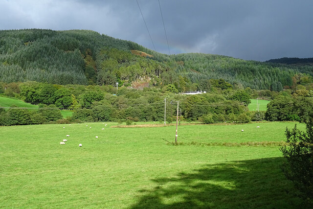
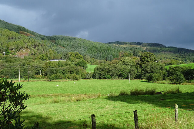
The terrain of An Cnap is predominantly rugged and rocky, with various crags and outcrops scattered across the hill. It is covered in a mixture of heather, grasses, and scattered patches of woodland, creating a picturesque landscape. The hill is part of the wider Argyll Forest Park, which is one of the largest forest parks in the United Kingdom.
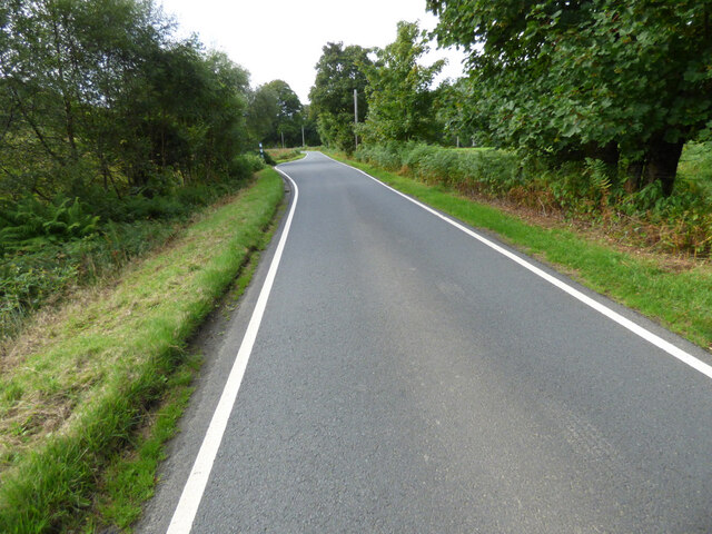
Access to An Cnap is relatively straightforward, with several well-marked trails and footpaths leading to the summit. The most popular route starts from a car park near the village of Lochgoilhead, providing a gradual ascent through the forest before reaching the open hillside. From there, the path becomes steeper, requiring some scrambling and careful footing.
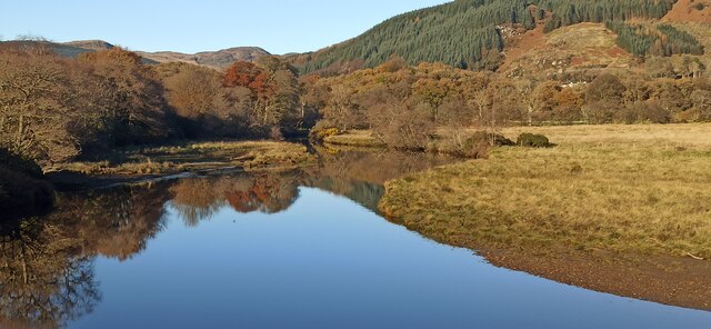
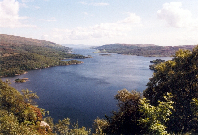
Once at the summit, visitors are rewarded with breathtaking views of Loch Goil and the surrounding mountains, including the nearby Beinn Bheula. On a clear day, it is even possible to see as far as the Isle of Arran in the distance.
An Cnap is home to a variety of wildlife, including red deer, mountain hares, and a variety of bird species. It is important for visitors to respect the natural environment and adhere to the Scottish Outdoor Access Code, ensuring the ongoing preservation of this beautiful area.
If you have any feedback on the listing, please let us know in the comments section below.
An Cnap Images
Images are sourced within 2km of 55.992382/-5.2220725 or Grid Reference NR9982. Thanks to Geograph Open Source API. All images are credited.


An Cnap is located at Grid Ref: NR9982 (Lat: 55.992382, Lng: -5.2220725)
Unitary Authority: Argyll and Bute
Police Authority: Argyll and West Dunbartonshire
What 3 Words
///skewing.snowballs.tasteful. Near Lochgilphead, Argyll & Bute
Nearby Locations
Related Wikis

Glendaruel
Glendaruel (Gaelic: Gleann Dà Ruadhail) is a glen in the Cowal peninsula in Argyll and Bute, Scotland. The main settlement in Glendaruel is the Clachan...

Auchenbreck Castle
Auchenbreck Castle (also spelt Auchinbreck) is located in Argyll and Bute, Scotland. Its remains are situated in Kilmodan parish, near the mouth of Glendaruel...

Loch Ruel
Loch Ruel or Loch Riddon; extends north from the Kyles of Bute and is a sea loch in Argyll and Bute, Scotland. == See also == River Ruel == References... ==
Eilean Dearg, Loch Ruel
Eilean Dearg is a small island in Loch Ruel (or Loch Riddon) in Argyll, Scotland. The island was once home to a castle, which was destroyed by naval action...
Nearby Amenities
Located within 500m of 55.992382,-5.2220725Have you been to An Cnap?
Leave your review of An Cnap below (or comments, questions and feedback).