Cairn Hill
Hill, Mountain in Wigtownshire
Scotland
Cairn Hill
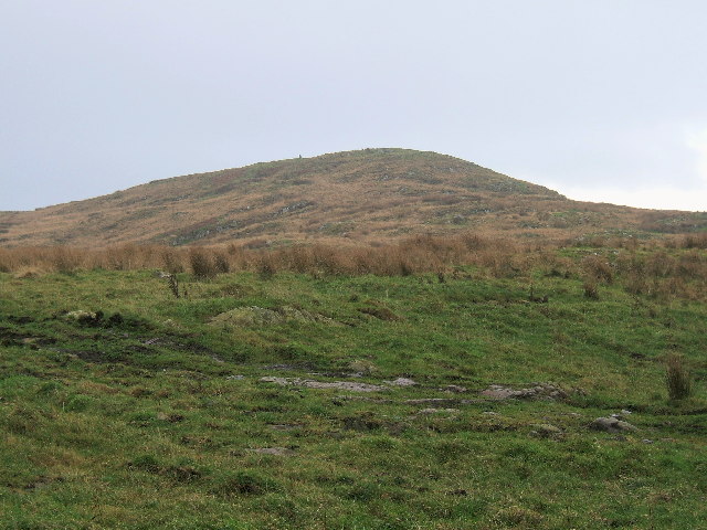
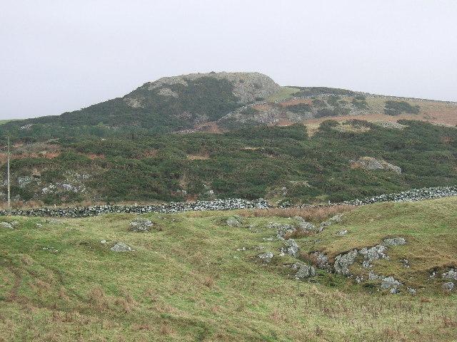
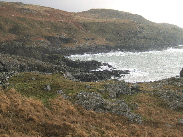
Cairn Hill is a prominent hill located in Wigtownshire, a region in southwest Scotland. Standing at an elevation of approximately 610 meters (2,000 feet), it is considered one of the highest peaks in the area. The hill is situated near the village of Cairnryan, overlooking the scenic Loch Ryan and the Irish Sea.
Cairn Hill boasts a distinctive geological formation, characterized by its rugged and rocky terrain. The hill is primarily composed of granite, which gives it a unique appearance and contributes to its enduring presence in the landscape. Its exposed rock faces and craggy slopes make it an appealing destination for hikers and climbers seeking a challenging outdoor experience.
The hill offers breathtaking panoramic views from its summit, allowing visitors to admire the surrounding countryside, including the nearby Rhins of Galloway peninsula. On clear days, it is even possible to catch glimpses of the Irish coastline. This vantage point also provides a perfect opportunity for nature enthusiasts to observe the diverse flora and fauna that inhabit the hillside.
Cairn Hill is a site of historical significance as well. It is believed to have been a vital landmark for ancient travelers and traders, as it offered a commanding viewpoint over the surrounding territories. The hill is also home to several archaeological remains, including ancient burial cairns, which lend it its name.
Overall, Cairn Hill in Wigtownshire stands as a prominent natural feature, offering stunning vistas, challenging terrain, and a glimpse into the region's rich history and natural heritage.
If you have any feedback on the listing, please let us know in the comments section below.
Cairn Hill Images
Images are sourced within 2km of 54.871762/-5.13758 or Grid Reference NW9857. Thanks to Geograph Open Source API. All images are credited.


Cairn Hill is located at Grid Ref: NW9857 (Lat: 54.871762, Lng: -5.13758)
Unitary Authority: Dumfries and Galloway
Police Authority: Dumfries and Galloway
What 3 Words
///soil.wimp.constants. Near Stranraer, Dumfries & Galloway
Nearby Locations
Related Wikis

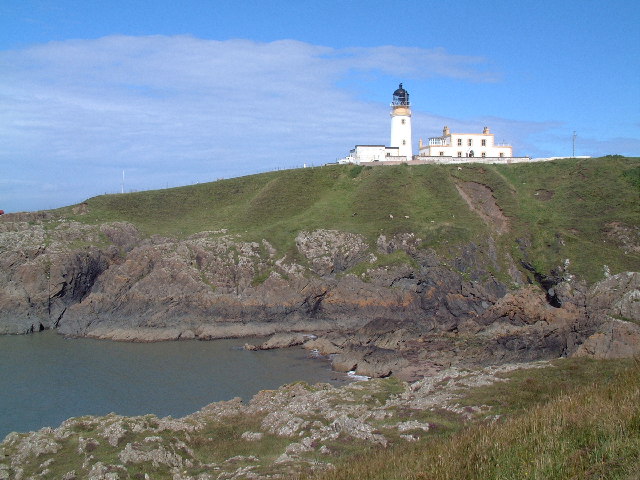
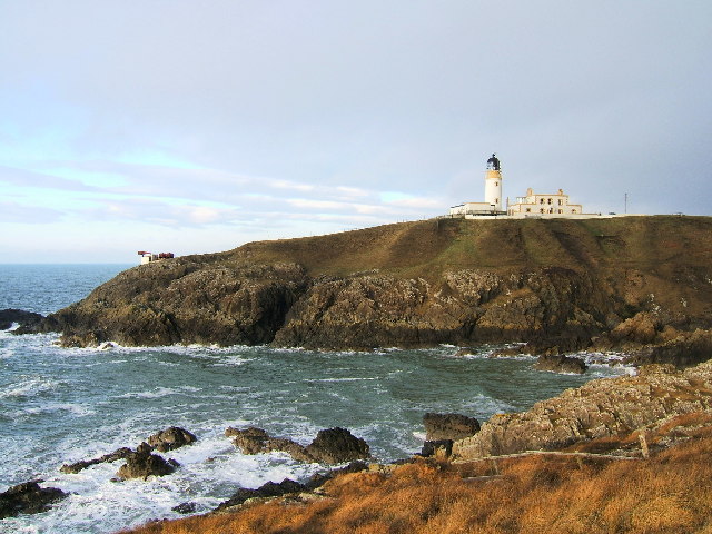
Killantringan Lighthouse
Killantringan Lighthouse is a lighthouse located near Portpatrick in Dumfries and Galloway, south-west Scotland. The light came into operation in 1900...

MV Craigantlet
MV Craigantlet was a German-owned, Cyprus-registered container ship operated on time-charter by Cawoods Containers Ltd of Belfast. She ran aground on 26...

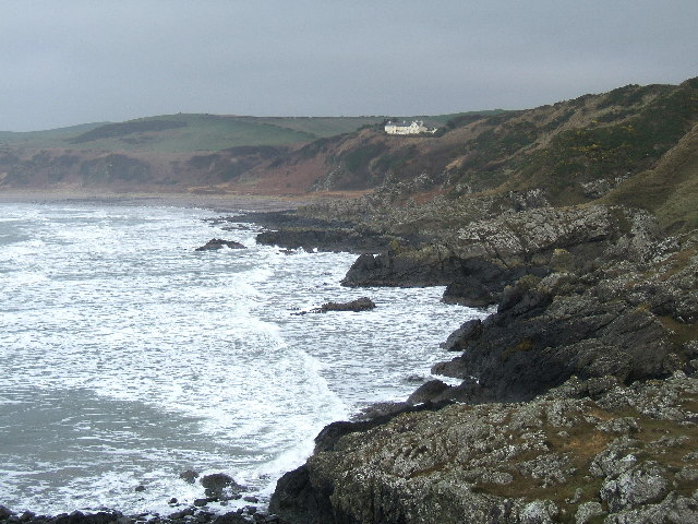
Portpatrick
Portpatrick is a village and civil parish in the historical county of Wigtownshire, Dumfries and Galloway, Scotland. It is located on the west coast of...

Portpatrick railway station
Portpatrick railway station was a railway station serving the village of Portpatrick, Dumfries & Galloway, Scotland. Opened in 1862 the station served...
Nearby Amenities
Located within 500m of 54.871762,-5.13758Have you been to Cairn Hill?
Leave your review of Cairn Hill below (or comments, questions and feedback).