Bught Hill
Hill, Mountain in Wigtownshire
Scotland
Bught Hill

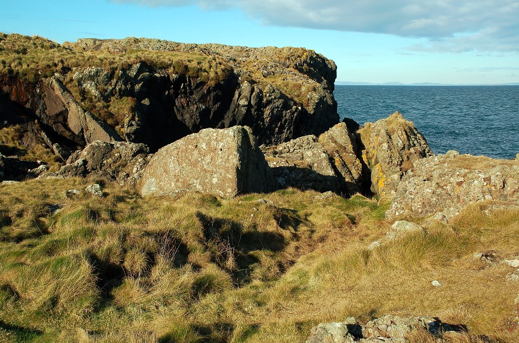
Bught Hill is a prominent landmark located in Wigtownshire, Scotland. It is categorized as a hill rather than a mountain, but still offers breathtaking views of the surrounding area. Standing at an elevation of approximately 314 meters (1,030 feet), Bught Hill dominates the landscape with its gently sloping sides and distinctive shape.
The hill is situated in the southern part of Wigtownshire, near the village of Whauphill. It is easily accessible, with a well-marked path leading to the summit. The path is relatively easy to traverse, making Bught Hill a popular destination for hikers and nature enthusiasts of all ages.
Once atop Bught Hill, visitors are rewarded with panoramic views that extend for miles in every direction. On clear days, it is possible to see the rolling hills of Wigtownshire, the sparkling waters of Luce Bay, and even the distant peaks of the Galloway Hills.
The hill itself is covered in a patchwork of heather, grasses, and wildflowers, providing a vibrant burst of color during the summer months. It is also home to a variety of wildlife, including birds of prey, rabbits, and occasional deer sightings.
Bught Hill has a rich history, with archaeological evidence suggesting human occupation in the area dating back thousands of years. The hill has been shaped by both natural forces and human activity, with remnants of ancient settlements and fortifications still visible today.
In conclusion, Bught Hill in Wigtownshire offers not only a picturesque and easily accessible hiking destination but also a glimpse into the region's fascinating past.
If you have any feedback on the listing, please let us know in the comments section below.
Bught Hill Images
Images are sourced within 2km of 54.953042/-5.17141 or Grid Reference NW9766. Thanks to Geograph Open Source API. All images are credited.

Bught Hill is located at Grid Ref: NW9766 (Lat: 54.953042, Lng: -5.17141)
Unitary Authority: Dumfries and Galloway
Police Authority: Dumfries and Galloway
What 3 Words
///braked.learn.confining. Near Cairnryan, Dumfries & Galloway
Nearby Locations
Related Wikis
Ervie
Ervie is a small village in Dumfries and Galloway, Scotland, in the Rhins of Galloway, just outside Stranraer.
Galdenoch Castle
Galdenoch Castle is a tower house near the Scottish village of Leswalt in the Council Area Dumfries and Galloway . The ruin is listed as a Scheduled Monument...
Leswalt
Leswalt (Scottish Gaelic: Lios Uillt) is a village and civil parish in Dumfries and Galloway, south-west Scotland. It lies between Portpatrick and Stranraer...
Corsewall Point
Corsewall Point, or Corsill Point, is a headland at the northern end of the Rhins of Galloway in Scotland. A lighthouse, Corsewall Lighthouse, was placed...
Kirkcolm
Kirkcolm (Scots: Kirkcoam) is a village and civil parish on the northern tip of the Rhinns of Galloway peninsula, south-west Scotland. It is in Dumfries...
RAF Wig Bay
Royal Air Force Wig Bay, or more simply RAF Wig Bay, is a former Royal Air Force station near Stranraer, Dumfries and Galloway, Scotland The following...
Loch Ryan
Loch Ryan (Scottish Gaelic: Loch Rìoghaine, pronounced [l̪ˠɔx ˈrˠiː.ɛɲə]) is a Scottish sea loch that acts as an important natural harbour for shipping...
Cairnryan Harbour
Cairnryan Harbour is a roll-on ferry terminal on Loch Ryan in south west Scotland north of Stranraer. In World War II it was developed as an emergency...
Have you been to Bught Hill?
Leave your review of Bught Hill below (or comments, questions and feedback).


![Pastoral landscape in The Rhinns Looking northwards over grass fields to Little Cairnbrock and Dhuloch Schoolhouse [L] and Drumieight [R], with Airies House in the dip on the horizon.](https://s2.geograph.org.uk/geophotos/07/41/96/7419638_4f606d81.jpg)


