Aonach Dubh
Hill, Mountain in Ross-shire
Scotland
Aonach Dubh

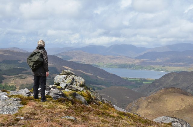
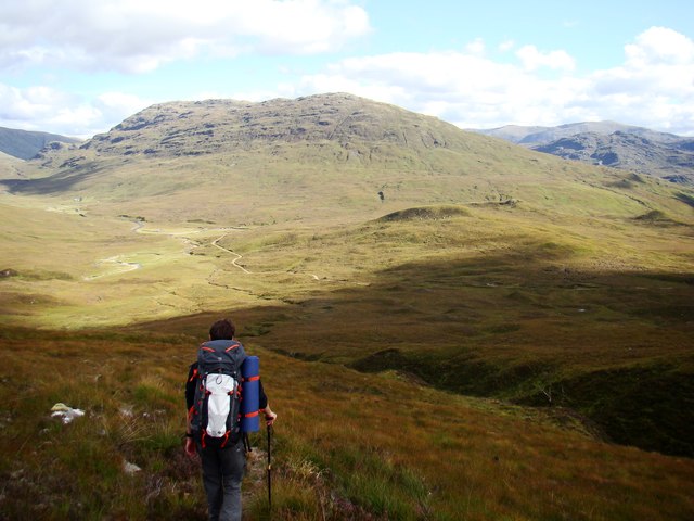
Aonach Dubh is a prominent hill located in Ross-shire, Scotland. Situated in the western part of the county, it forms part of the beautiful Highlands region. With an elevation of approximately 732 meters (2,402 feet), it is considered a mountain rather than a hill by some classifications.
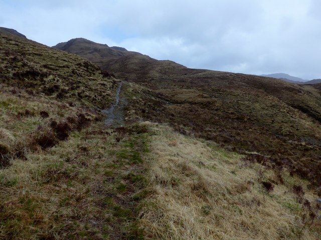
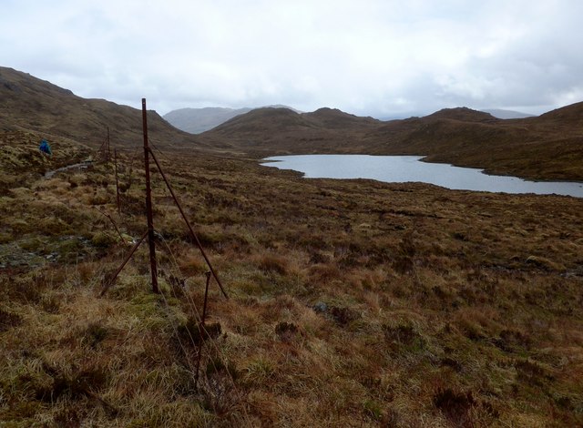
The name "Aonach Dubh" translates to "Black Ridge" in English, which aptly describes the appearance of the hill. Its distinctive dark and rocky slopes, covered in heather and grasses, make it easily recognizable in the landscape. Aonach Dubh is flanked by other peaks and hills, adding to the breathtaking scenery.
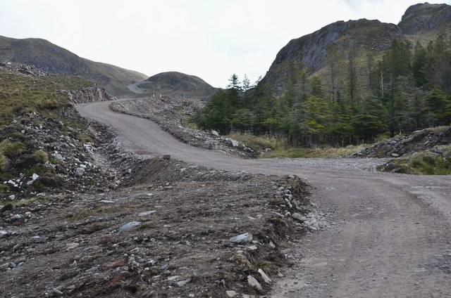
The hill is a popular destination among hikers and mountaineers, offering a range of routes suitable for different skill levels. Some paths are well-marked and maintained, while others require more advanced navigation skills. Regardless of the chosen route, climbers are rewarded with stunning panoramic views from the summit.
Wildlife enthusiasts also flock to Aonach Dubh to observe the rich biodiversity of the area. The hill is home to various bird species, including golden eagles, peregrine falcons, and ptarmigans. Red deer and mountain hares can be spotted traversing the slopes, adding to the natural charm of the surroundings.
Aonach Dubh is a true gem in Ross-shire, providing opportunities for outdoor adventures and appreciation of Scotland's rugged beauty. Whether scaling its heights or simply gazing at it from afar, this majestic mountain offers an unforgettable experience for nature lovers and explorers alike.
If you have any feedback on the listing, please let us know in the comments section below.
Aonach Dubh Images
Images are sourced within 2km of 57.386485/-5.3801964 or Grid Reference NG9637. Thanks to Geograph Open Source API. All images are credited.


Aonach Dubh is located at Grid Ref: NG9637 (Lat: 57.386485, Lng: -5.3801964)
Unitary Authority: Highland
Police Authority: Highlands and Islands
What 3 Words
///troll.bridges.settle. Near Lochcarron, Highland
Nearby Locations
Related Wikis

Attadale, Scotland
Attadale (Gaelic: Attadal ) is a settlement and estate in Wester Ross, in the Highland council area of Scotland. It is on the southern shore of Loch Carron...
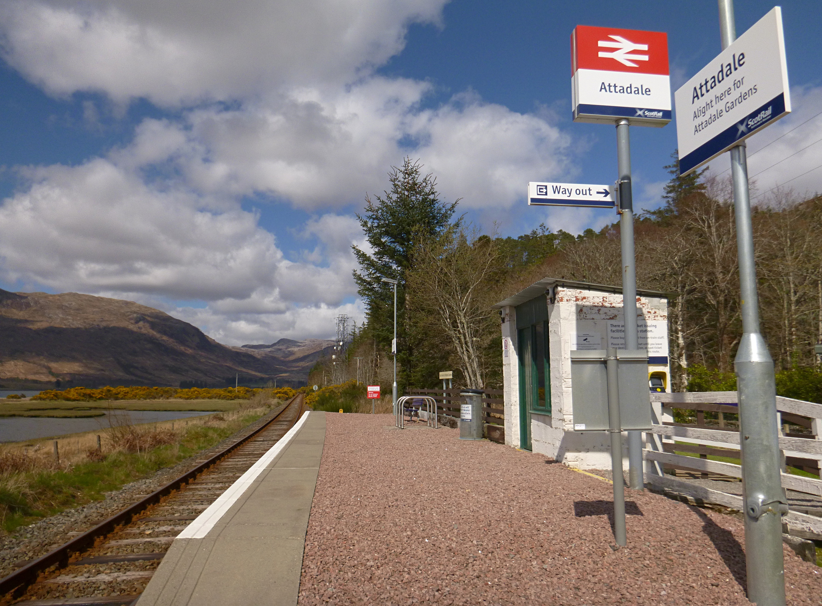
Attadale railway station
Attadale railway station is a remote railway station on the Kyle of Lochalsh Line, serving the village of Attadale on Loch Carron in the Highlands, northern...

Strathcarron railway station
Strathcarron railway station is a remote railway station on the Kyle of Lochalsh Line, serving the small village of Strathcarron and the larger village...

Strathcarron, Highland
Strathcarron (Scottish Gaelic: Srath Carrann) is a hamlet, in the Highland council area of Scotland. == Geography == It is situated at the head of the...
Nearby Amenities
Located within 500m of 57.386485,-5.3801964Have you been to Aonach Dubh?
Leave your review of Aonach Dubh below (or comments, questions and feedback).