Black Hill
Hill, Mountain in Pembrokeshire
Wales
Black Hill

Black Hill is a prominent hill located in Pembrokeshire, a county in southwestern Wales. With an elevation of 237 meters (778 feet), it is often referred to as a mountain by locals and visitors alike. Situated near the village of Roch, Black Hill is part of the Preseli Hills range, known for its rolling landscape and breathtaking views.
The hill is predominantly covered in heather and grass, creating a picturesque scene that attracts outdoor enthusiasts such as hikers, walkers, and nature lovers. Its distinctive black color, which gives the hill its name, is a result of the underlying dark rock, likely of volcanic origin. This geological feature adds to the unique charm of Black Hill and sets it apart from the surrounding landscape.
Black Hill offers several walking routes and trails that cater to various levels of fitness and ability. Many visitors choose to ascend to the summit, where they are rewarded with panoramic views of the surrounding countryside, including the Preseli Hills and the Pembrokeshire Coast National Park. On clear days, it is even possible to see the distant shores of Ireland.
While Black Hill may not be the tallest peak in the region, it is a beloved destination for locals and tourists alike, offering a tranquil escape from the hustle and bustle of everyday life. Its natural beauty, coupled with its accessibility and stunning vistas, make it a must-visit location for anyone exploring the Pembrokeshire area.
If you have any feedback on the listing, please let us know in the comments section below.
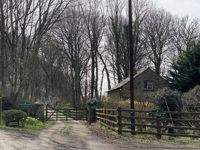
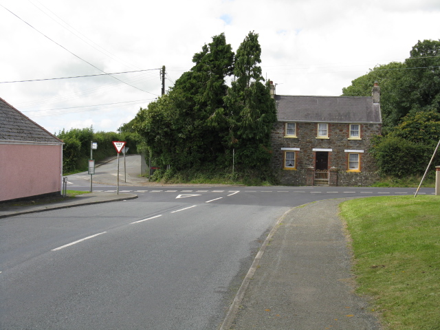
Black Hill Images
Images are sourced within 2km of 51.777884/-4.9475192 or Grid Reference SM9612. Thanks to Geograph Open Source API. All images are credited.


Black Hill is located at Grid Ref: SM9612 (Lat: 51.777884, Lng: -4.9475192)
Unitary Authority: Pembrokeshire
Police Authority: Dyfed Powys
What 3 Words
///legal.footpath.sentences. Near Freystrop, Pembrokeshire
Nearby Locations
Related Wikis

Boulston
Boulston is a small settlement and former parish on the left bank of the Western Cleddau river in Pembrokeshire, Wales, in the community of Uzmaston, Boulston...

Uzmaston
Uzmaston is a small parish in Pembrokeshire, Wales, about 2 kilometres south-east of Haverfordwest. The village, to the northwest of Boulston, forms part...
Hook Wood
Hook Wood is a Site of Special Scientific Interest (or SSSI) in Pembrokeshire, South Wales. In 1603 George Owen described Hook Wood as one of “the best...
Freystrop
Freystrop is a village, parish and community in Pembrokeshire, Wales, 2 miles (3.2 km) southeast of Haverfordwest. == References == == External links... ==
Nearby Amenities
Located within 500m of 51.777884,-4.9475192Have you been to Black Hill?
Leave your review of Black Hill below (or comments, questions and feedback).