Am Bodach

Hill, Mountain in Argyllshire

Scotland

Am Bodach

Loch Avich A 5km long loch west of Loch Awe. Mostly surrounded by Forestry Commission holdings, but there is a privately owned estate protecting one part from the trees.  Here the forest has been felled allowing a view of the east end of the loch from the road. The view is westward down  the length of the water. Taken from where Gleann Meisean meets the road.
Loch Avich Credit: Richard Webb

Am Bodach is a prominent hill located in the Argyllshire region of Scotland. With a height of 943 meters (3,094 feet), it is classified as a Munro, which means it is one of the many mountains in Scotland that stands over 3,000 feet tall. Am Bodach can be found within the Mamores mountain range, which stretches from Kinlochleven to Glen Nevis.

This mountain is known for its rugged beauty, featuring steep slopes, craggy ridges, and rocky outcrops. Its name, which translates to "the old man" in Gaelic, is thought to be a reference to its distinctive silhouette resembling the profile of an old man lying down. As part of the Mamores, Am Bodach offers breathtaking panoramic views of the surrounding landscape, including Loch Leven, the Grey Corries, and the Nevis Range.

The ascent of Am Bodach is typically undertaken from the south, starting at the car park in Kinlochleven. Hikers can follow a well-defined trail that leads them through a mixture of grassy slopes and rocky sections. The climb can be challenging at times, requiring good navigational skills and appropriate equipment such as sturdy hiking boots and wet weather gear.

Once at the summit, climbers are rewarded with awe-inspiring vistas of the Scottish Highlands, with Ben Nevis, the highest peak in Britain, visible in the distance. Am Bodach offers a thrilling experience for mountaineering enthusiasts and nature lovers alike, showcasing the raw beauty of Scotland's mountainous terrain.

If you have any feedback on the listing, please let us know in the comments section below.
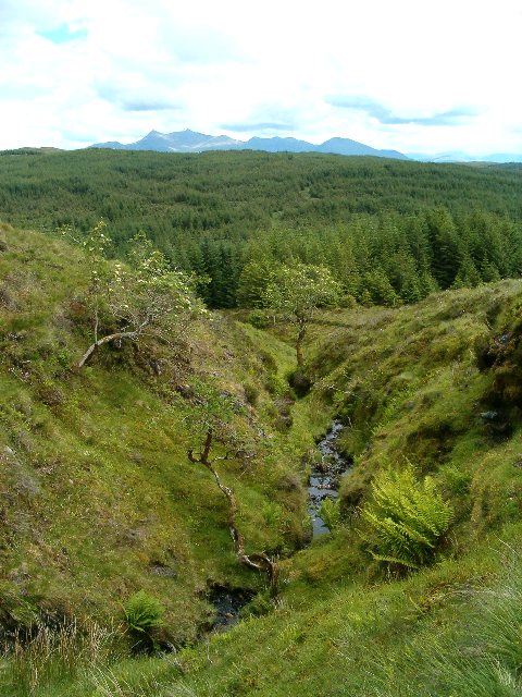
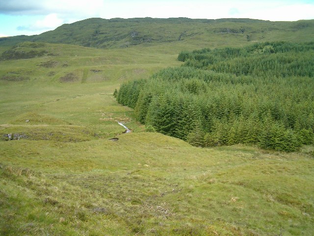
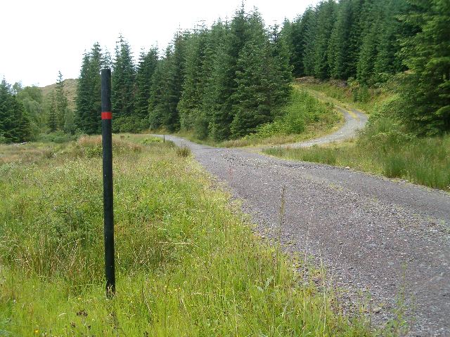
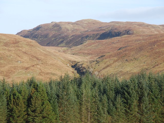
Am Bodach Images

Images are sourced within 2km of 56.301826/-5.2973323 or Grid Reference NM9617. Thanks to Geograph Open Source API. All images are credited.

Loch Avich A 5km long loch west of Loch Awe. Mostly surrounded by Forestry Commission holdings, but there is a privately owned estate protecting one part from the trees.  Here the forest has been felled allowing a view of the east end of the loch from the road. The view is westward down  the length of the water. Taken from where Gleann Meisean meets the road.
Loch Avich
A 5km long loch west of Loch Awe. Mostly surrounded by Forestry Commission holdings, but there is a privately owned estate protecting one part from the trees. Here the forest has been felled allowing a view of the east end of the loch from the road. The view is westward down the length of the water. Taken from where Gleann Meisean meets the road.
Sheepwalk, Meall Odhar The old and new land uses. This square is still growing wool and lamb, not woodpulp.
Sheepwalk, Meall Odhar
The old and new land uses. This square is still growing wool and lamb, not woodpulp.
Small ford on track Above Drissaig, Loch Avich
Small ford on track
Above Drissaig, Loch Avich
Ruined building Above Drissaig, Loch Avich.
Ruined building
Above Drissaig, Loch Avich.
Waterfall Above Drissaig, on the Allt Mor.
Waterfall
Above Drissaig, on the Allt Mor.
Waterfall Above Drissaig Loch Avich.
Waterfall
Above Drissaig Loch Avich.
Small crag Ben Cruachan in the distance.
Small crag
Ben Cruachan in the distance.
Moorland above Inverinan Forest Ben Cruachan in the distance.
Moorland above Inverinan Forest
Ben Cruachan in the distance.
Moorland burn Draining into the forest, with Ben Cruachan in the distance.
Moorland burn
Draining into the forest, with Ben Cruachan in the distance.
Moorland above the forest The western edge of Inverinan Forest, looking towards Beinn Chapull.
Moorland above the forest
The western edge of Inverinan Forest, looking towards Beinn Chapull.
Forest burn Probably the main tributary of the Abhainn Foinain.
Forest burn
Probably the main tributary of the Abhainn Foinain.
Dam Foinain 1 The uppermost of a series of dams which collect water for transport to the Loch Nant hydroelectric scheme.
Dam Foinain 1
The uppermost of a series of dams which collect water for transport to the Loch Nant hydroelectric scheme.
Inverinan Forest The Allt Gleann na h-Airigh runs through the scene.
Inverinan Forest
The Allt Gleann na h-Airigh runs through the scene.
Forest Road The "Glen Road" from Loch Avich to Inverinan.
Forest Road
The "Glen Road" from Loch Avich to Inverinan.
Decisions, decisions The road on the left is the "Glen Road" running down towards Loch Avich.
Decisions, decisions
The road on the left is the "Glen Road" running down towards Loch Avich.
The road to Craignamoraig The small track on the right is the road to Craignamoraig; the larger track is the "Glen Road" approaching Loch Avich.
The road to Craignamoraig
The small track on the right is the road to Craignamoraig; the larger track is the "Glen Road" approaching Loch Avich.
Creag na h-eanchainn A view taken from the forest road a couple of kilometres to the west. In the middle distance the Allt a' Chomhlachaidh descends a small gorge.
Creag na h-eanchainn
A view taken from the forest road a couple of kilometres to the west. In the middle distance the Allt a' Chomhlachaidh descends a small gorge.
Minor road near Loch Avich
Show me another place!

Am Bodach is located at Grid Ref: NM9617 (Lat: 56.301826, Lng: -5.2973323)

Unitary Authority: Argyll and Bute

Police Authority: Argyll and West Dunbartonshire

What 3 Words

///area.brain.flattered. Near Inveraray, Argyll & Bute

Nearby Locations

Am Bodach

Related Wikis

Avich Falls

Avich Falls near Dalavich in Argyll and Bute is a waterfall in Scotland.The River Avich flows about 1 mile (1.6 km) down the steep glacial valley of Loch...

Loch Avich

Loch of Avich is a large freshwater loch that lies approximately 1 mi (1.6 km) west of Loch Awe in Argyll and Bute in Scotland. It is the second biggest...

Loch Awe

Loch Awe (Scottish Gaelic: Loch Obha; also sometimes anglicised as Lochawe, Lochaw, or Lochow) is a large body of freshwater in Argyll and Bute, Scottish...

Dalavich

Dalavich (Scottish Gaelic: Dail Abhaich) is a village in Argyll and Bute, Scotland. It lies on the western bank of Loch Awe and has a population of around...

Have you been to Am Bodach?

Leave your review of Am Bodach below (or comments, questions and feedback).