Am Maoilean
Hill, Mountain in Argyllshire
Scotland
Am Maoilean

Am Maoilean, also known as Hill of Moyle, is a prominent mountain located in Argyllshire, Scotland. Standing at an impressive height of 1,013 meters (3,323 feet), it is often considered one of the most challenging and rewarding climbs in the region.
Situated in the southern part of the Grampian Mountains, Am Maoilean offers breathtaking panoramic views of the surrounding landscape. Its steep and rugged slopes are covered in heather, grasses, and scattered rocks, creating a picturesque and wild environment.
The mountain is a popular destination for experienced hikers and mountaineers seeking a thrilling adventure. The ascent to the summit can be challenging, with some sections requiring scrambling and careful navigation. However, the effort is well-rewarded as the summit provides magnificent views of nearby Munros, glens, lochs, and the vast expanse of the Scottish Highlands.
Am Maoilean is also home to a variety of wildlife, including red deer, mountain hares, and various bird species. The mountain's remote location and untouched landscape offer a haven for nature enthusiasts and wildlife photographers.
Access to Am Maoilean is generally gained from the village of Arrochar, which provides a starting point for the climb. It is important for visitors to be well-prepared and equipped with suitable clothing, navigation tools, and provisions. Additionally, caution should be exercised during inclement weather conditions, as the mountain can be treacherous.
Overall, Am Maoilean in Argyllshire is a magnificent mountain that offers a challenging and rewarding experience for outdoor enthusiasts, with its stunning views, diverse wildlife, and rugged terrain.
If you have any feedback on the listing, please let us know in the comments section below.
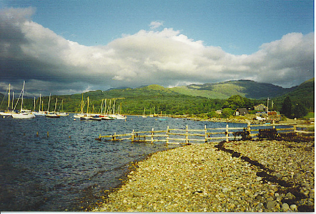
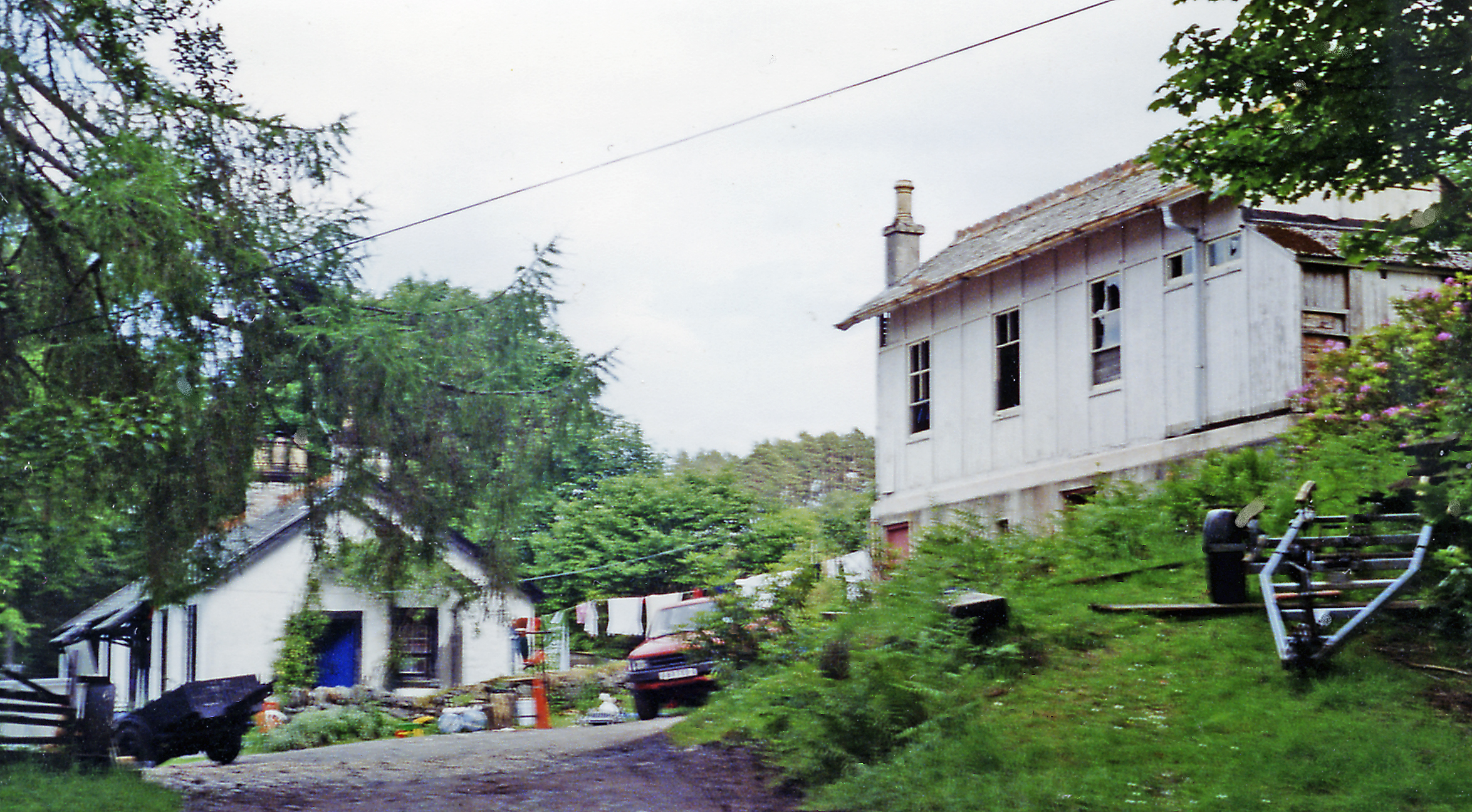
Am Maoilean Images
Images are sourced within 2km of 56.502492/-5.3150711 or Grid Reference NM9639. Thanks to Geograph Open Source API. All images are credited.


Am Maoilean is located at Grid Ref: NM9639 (Lat: 56.502492, Lng: -5.3150711)
Unitary Authority: Argyll and Bute
Police Authority: Argyll and West Dunbartonshire
What 3 Words
///spellings.passages.pulse. Near Oban, Argyll & Bute
Nearby Locations
Related Wikis

Barcaldine House
Barcaldine House is a historic mansion in Barcaldine near Oban, Scotland, now a hotel. == History == === Campbell ownership 1709–1842 === The lands were...
Barcaldine, Argyll
Barcaldine (Scottish Gaelic: Am Barra Calltainn) is a small settlement in Scotland centred on the historic Barcaldine House and located on the banks of...
Barcaldine railway station
Barcaldine was a railway station located in Barcaldine, Argyll and Bute, near the southern shore of Loch Creran. It was on the Ballachulish branch line...

Loch Creran
Loch Creran is a sea loch in Argyll, on the west coast of Scotland. It is about 10 kilometres (6.2 mi) long from its head at Invercreran to its mouth on...

Gleann Dubh
The reservoir (the "Black Glen") is an impounding reservoir located 9 kilometres north east of the Connel Bridge in Barcaldine Forest. The earthen dam...
Ardchattan and Muckairn
Ardchattan and Muckairn is a civil parish within Argyll and Bute in Scotland. It lies north of Oban, bordering Loch Etive and includes Glen Ure, Glen Creran...

Creagan Bridge
Creagan Bridge is a bridge that crosses Loch Creran at Creagan in Scotland. It is a road bridge that uses the supporting columns of a former railway viaduct...
Ach-na-Cloich railway station
Ach-na-Cloich is a closed railway station located on the south shore of Loch Etive, in Argyll and Bute. Its site is located on the Oban route of the scenic...
Have you been to Am Maoilean?
Leave your review of Am Maoilean below (or comments, questions and feedback).