Deadh Choimhead
Hill, Mountain in Argyllshire
Scotland
Deadh Choimhead

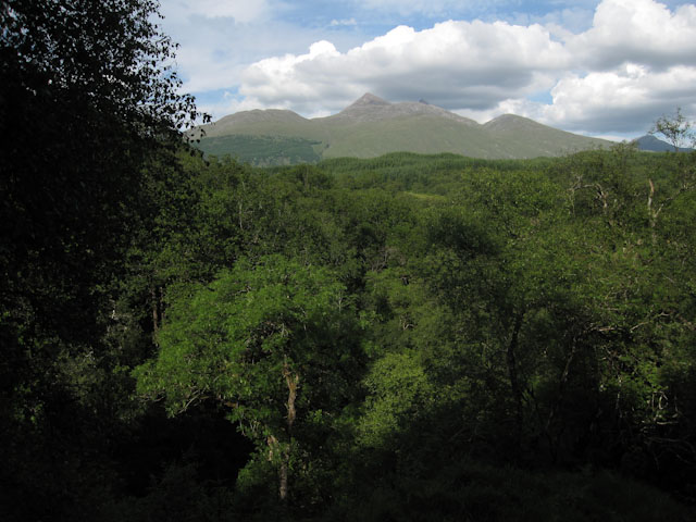
Deadh Choimhead is a prominent hill located in Argyllshire, Scotland. It stands at an elevation of 773 meters (2,536 feet) and is part of the Grampian Mountains range. The hill is situated near the village of Tyndrum and is a popular destination for hikers and outdoor enthusiasts.
The name Deadh Choimhead translates to "The Watching Hill" in Gaelic, which reflects its prominent position overlooking the surrounding landscape. From the summit, visitors are treated to breathtaking panoramic views of the surrounding countryside, including the stunning Loch Lomond and Trossachs National Park.
The hill is characterized by its rugged and rocky terrain, with steep slopes that challenge even the most experienced climbers. However, there are several well-marked trails that lead to the summit, offering a variety of options for hikers of different skill levels.
The area surrounding Deadh Choimhead is rich in natural beauty and wildlife. It is home to a diverse range of flora and fauna, including heather, grasses, and various species of birds. The hill also provides habitat for deer and other mammals.
Due to its proximity to Tyndrum, Deadh Choimhead is easily accessible for visitors. The hill offers a unique opportunity for outdoor enthusiasts to explore the Scottish Highlands and immerse themselves in the stunning natural scenery that the region is known for.
If you have any feedback on the listing, please let us know in the comments section below.
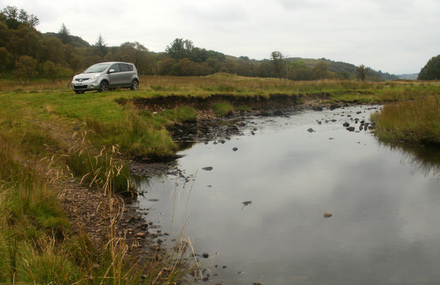
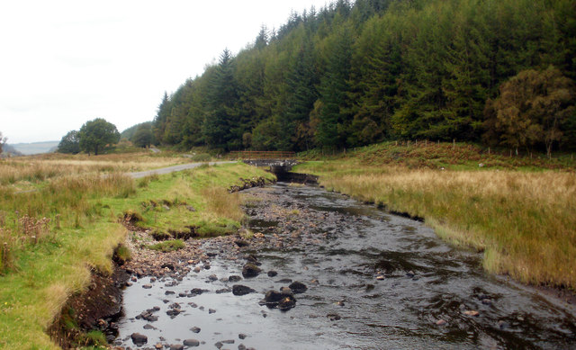
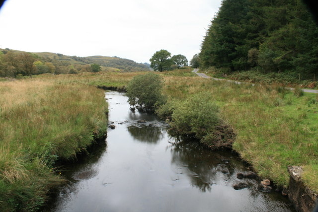
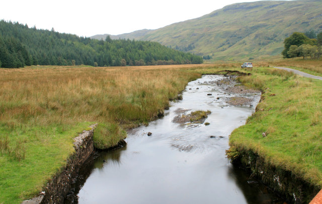
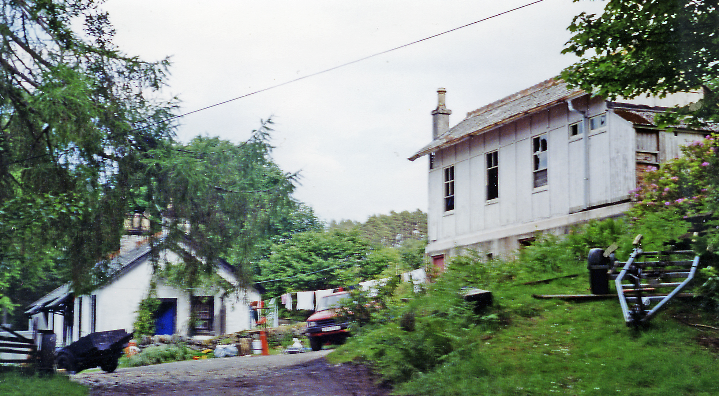
Deadh Choimhead Images
Images are sourced within 2km of 56.405237/-5.3292533 or Grid Reference NM9428. Thanks to Geograph Open Source API. All images are credited.


Deadh Choimhead is located at Grid Ref: NM9428 (Lat: 56.405237, Lng: -5.3292533)
Unitary Authority: Argyll and Bute
Police Authority: Argyll and West Dunbartonshire
What 3 Words
///triathlon.starfish.hedge. Near Oban, Argyll & Bute
Nearby Locations
Related Wikis

Fearnoch
Fearnoch is a small village in Argyll and Bute, Scotland. It is located just off the A85 road, about 2 miles (3 km) west of the village of Taynuilt....
Ach-na-Cloich railway station
Ach-na-Cloich is a closed railway station located on the south shore of Loch Etive, in Argyll and Bute. Its site is located on the Oban route of the scenic...
Glen Nant
Glen Nant (Scottish Gaelic: Gleann Neannta) is a glen lying to the south of Taynuilt in the Argyll and Bute council area of Scotland. An area of woodland...

Connel Ferry railway station
Connel Ferry railway station is a railway station serving the village of Connel in western Scotland. This station is on the Oban branch of the West Highland...
Nearby Amenities
Located within 500m of 56.405237,-5.3292533Have you been to Deadh Choimhead?
Leave your review of Deadh Choimhead below (or comments, questions and feedback).