Ball Hill

Hill, Mountain in Cornwall

England

Ball Hill

St Enodoc Hotel, Rock An excellent hotel with Michelin starred chef Nathan Outlaw in the kitchen. A nice place to stop for lunch en route to a Cornish holiday.
St Enodoc Hotel, Rock Credit: Chris Allen

Ball Hill is a prominent hill located in the beautiful county of Cornwall, England. Situated in the southwestern part of the county, Ball Hill is part of the Bodmin Moor area, renowned for its stunning landscapes and rich history. Rising to an elevation of 334 meters (1,096 feet), it is one of the highest points in the region, offering breathtaking panoramic views of the surrounding countryside.

The hill is known for its distinctive cone-shaped form, covered with lush green vegetation. It is primarily composed of granite, a characteristic feature of the Bodmin Moor landscape. The area is rich in wildlife, with diverse flora and fauna thriving in its undisturbed habitat.

Ball Hill is a popular destination for hikers and nature enthusiasts, drawing visitors from near and far. Its well-maintained footpaths provide opportunities for adventurous walks, with the reward of stunning vistas from the summit. On clear days, one can see as far as the distant coastline and even catch a glimpse of the English Channel.

The hill has a significant historical value as well. Ancient stone circles and burial mounds can be found in its vicinity, dating back to the Bronze Age. These archaeological sites add an extra layer of intrigue and fascination for those interested in the area's past.

Overall, Ball Hill is a captivating natural landmark that encapsulates the beauty and history of Cornwall. Whether it be for a leisurely stroll or a more challenging hike, visitors are sure to be captivated by its breathtaking views and the serene ambiance of its surroundings.

If you have any feedback on the listing, please let us know in the comments section below.
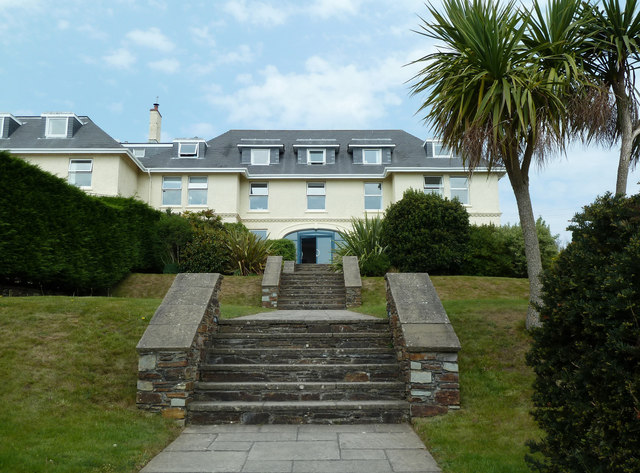
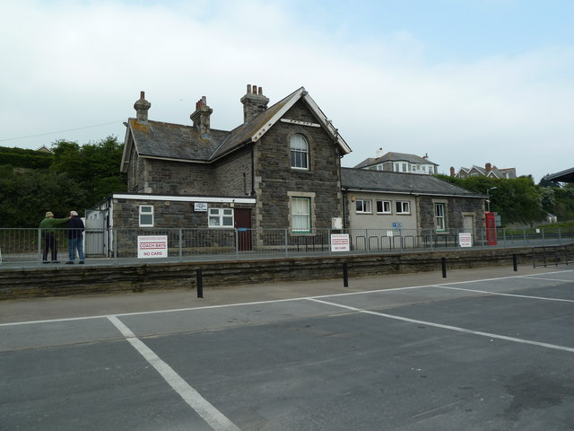
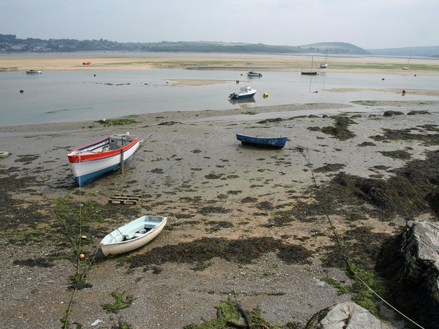
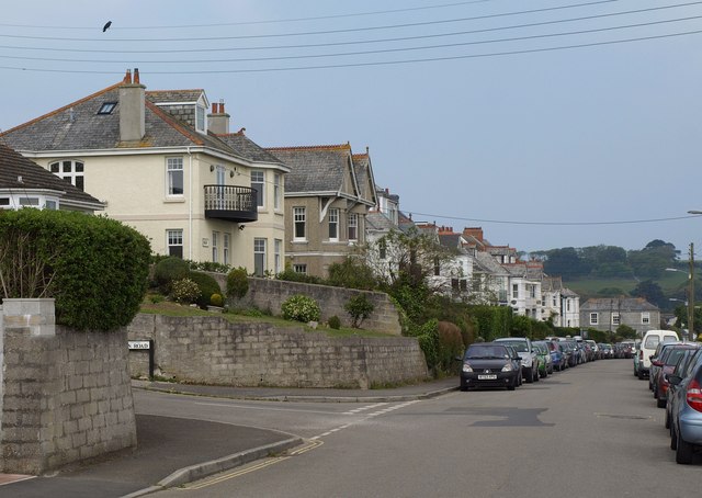
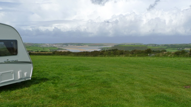
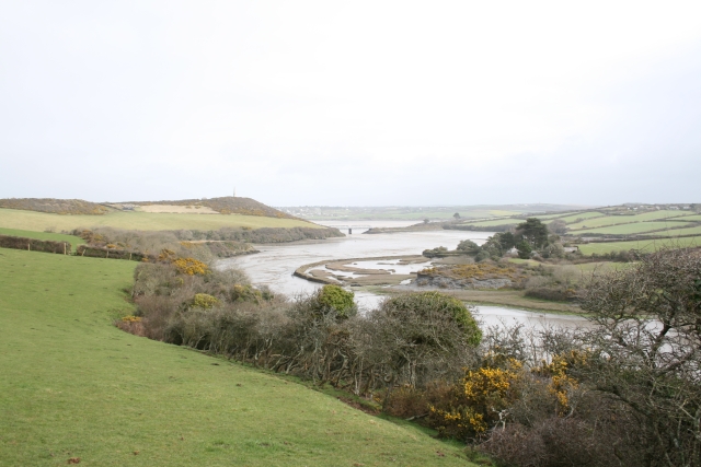
Ball Hill Images

Images are sourced within 2km of 50.529488/-4.9121367 or Grid Reference SW9374. Thanks to Geograph Open Source API. All images are credited.

St Enodoc Hotel, Rock An excellent hotel with Michelin starred chef Nathan Outlaw in the kitchen. A nice place to stop for lunch en route to a Cornish holiday.
St Enodoc Hotel, Rock
An excellent hotel with Michelin starred chef Nathan Outlaw in the kitchen. A nice place to stop for lunch en route to a Cornish holiday.
Former Station building, Padstow Now in a car park area. This is a former (closed) railway station.
Former Station building, Padstow
Now in a car park area. This is a former (closed) railway station.
Foreshore south of Padstow The Camel estuary near the former station, with boats tied up on the foreshore. The main river channel is beyond the Town Bar.
Foreshore south of Padstow
The Camel estuary near the former station, with boats tied up on the foreshore. The main river channel is beyond the Town Bar.
Dennis Road, Padstow The junction with Alan Road (left). A crow is pretending to be F on the treble clef.
Dennis Road, Padstow
The junction with Alan Road (left). A crow is pretending to be F on the treble clef.
RNLI Lifeboat Station, Rock Designed by local architects The Bazeley Partnership and built in 1998. "The curved wave-like roof is constructed from zinc with the external walls being a mixture of local stone and render. The building received a Civic Trust Commendation in 1999" <span class="nowrap"><a title="http://www.bazeley-architects.co.uk/rnli/rnli-rock.html" rel="nofollow ugc noopener" href="http://www.bazeley-architects.co.uk/rnli/rnli-rock.html">Link</a><img style="margin-left:2px;" alt="External link" title="External link - shift click to open in new window" src="https://s1.geograph.org.uk/img/external.png" width="10" height="10"/></span> .
RNLI Lifeboat Station, Rock
Designed by local architects The Bazeley Partnership and built in 1998. "The curved wave-like roof is constructed from zinc with the external walls being a mixture of local stone and render. The building received a Civic Trust Commendation in 1999" LinkExternal link .
Rock Sailing and Water Ski Clubhouse A similar view to <a href="https://www.geograph.org.uk/photo/2138717">SW9375 : Rock Yacht Club</a>. The building was formerly a C19 warehouse, converted in 1976. "The clubhouse commands a prominent position in the picturesque Camel estuary and comprises one of the few surviving industrial buildings in Rock" <span class="nowrap"><a title="http://www.britishlistedbuildings.co.uk/en-351644-rock-sailing-club-house-st-minver-lowlan" rel="nofollow ugc noopener" href="http://www.britishlistedbuildings.co.uk/en-351644-rock-sailing-club-house-st-minver-lowlan">Link</a><img style="margin-left:2px;" alt="External link" title="External link - shift click to open in new window" src="https://s1.geograph.org.uk/img/external.png" width="10" height="10"/></span> .
Rock Sailing and Water Ski Clubhouse
A similar view to SW9375 : Rock Yacht Club. The building was formerly a C19 warehouse, converted in 1976. "The clubhouse commands a prominent position in the picturesque Camel estuary and comprises one of the few surviving industrial buildings in Rock" LinkExternal link .
The River Camel estuary at Padstow
Boats on the Camel estuary
The Camel Trail at Padstow
Padstow Railway station Station house and buildings The former station is in use by the local Council. Much of the former railway yard is now a very full car park. Shut Jan 1967 the Bodmin Road to Wadebridge and Padstow line would have been well-used if still open today. A view on a wet day.
Padstow Railway station Station house and buildings
The former station is in use by the local Council. Much of the former railway yard is now a very full car park. Shut Jan 1967 the Bodmin Road to Wadebridge and Padstow line would have been well-used if still open today. A view on a wet day.
The River Camel estuary at Padstow
Porthilly Road in Padstow
The Iron Bridge on the Camel estuary
Sarah's Lane in Padstow
Camel River and estuary with Padstow beyond Looking from above and west of Wadebridge close by the Cornish Show site towards Padstow.
Camel River and estuary with Padstow beyond
Looking from above and west of Wadebridge close by the Cornish Show site towards Padstow.
The Camel River at low tide off Padstow Jetty
National Lobster Hatchery, Padstow It includes a visitor centre.
National Lobster Hatchery, Padstow
It includes a visitor centre.
Bike hire, Padstow This is Padstow Cycle Hire, one of several bike hire shops serving visitors to the Camel Trail to Wadebridge and Bodmin. There are bikes, trailers, tagalongs, child seats, tricycles and disability bikes catering for adults, children, dogs and people who are inexperienced or disabled.
Bike hire, Padstow
This is Padstow Cycle Hire, one of several bike hire shops serving visitors to the Camel Trail to Wadebridge and Bodmin. There are bikes, trailers, tagalongs, child seats, tricycles and disability bikes catering for adults, children, dogs and people who are inexperienced or disabled.
Show me another place!

Ball Hill is located at Grid Ref: SW9374 (Lat: 50.529488, Lng: -4.9121367)

Unitary Authority: Cornwall

Police Authority: Devon and Cornwall

What 3 Words

///prefix.tarnished.decorated. Near Padstow, Cornwall

Nearby Locations

Ball Hill

Related Wikis

Porthilly

Porthilly (Cornish: Porthhyli) is a small coastal settlement on the east side of the River Camel estuary in Cornwall, England, United Kingdom. It is situated...

Rock, Cornwall

Rock (Cornish: Pennmeyn) is a coastal fishing village in Cornwall, England, United Kingdom. It is opposite Padstow on the north-east bank of the River...

Trevorrick

Trevorrick is a hamlet near St Issey in north Cornwall, England, United Kingdom. It is located about two miles south of Padstow just to the east of Little...

Burgois

Burgois is a hamlet in north Cornwall, England, United Kingdom situated approximately one mile south of Padstow. It is 5 miles west of the town of Wadebridge...

Nearby Amenities

Located within 500m of 50.529488,-4.9121367
Source: PGS
Lat/Long: 50.5275976/-4.9060835
Source: PGS
Lat/Long: 50.5279454/-4.907273
Source: PGS
Lat/Long: 50.5281996/-4.9078584
Source: PGS
Lat/Long: 50.5284781/-4.9084773
Source: PGS
Lat/Long: 50.527873/-4.9108538
Source: PGS
Lat/Long: 50.5290344/-4.9093048
Source: PGS
Lat/Long: 50.5293783/-4.9097278
Source: PGS
Lat/Long: 50.5300347/-4.9094758
Source: PGS
Lat/Long: 50.5302072/-4.909633
Source: PGS
Lat/Long: 50.5305512/-4.9102879
Source: PGS
Lat/Long: 50.5307041/-4.9112985
Source: PGS
Lat/Long: 50.5306996/-4.9115363
Source: PGS
Lat/Long: 50.5308068/-4.9139161
Source: PGS
Lat/Long: 50.5309693/-4.9149271
Source: PGS
Lat/Long: 50.5311906/-4.9161943
the Barn
Tourism: apartment
Lat/Long: 50.5264851/-4.910785
Bench
Backrest: yes
Lat/Long: 50.5306734/-4.9136284
The data included in this document is from www.openstreetmap.org. The data is made available under ODbL.

Have you been to Ball Hill?

Leave your review of Ball Hill below (or comments, questions and feedback).