A' Chruach
Hill, Mountain in Argyllshire
Scotland
A' Chruach
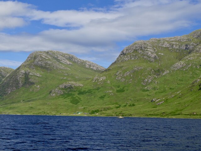
A' Chruach, located in Argyllshire, Scotland, is a prominent hill/mountain with a height of 512 meters (1679 feet). Nestled in the picturesque landscape of the Scottish Highlands, it offers breathtaking views and an array of outdoor activities for nature enthusiasts.
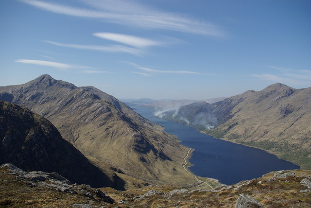
Rising majestically above the surrounding countryside, A' Chruach is characterized by its rugged terrain and rocky slopes. The hill/mountain is primarily composed of granite and is part of the larger mountain range known as the Arrochar Alps. Its prominence and strategic location make it a popular destination for hikers and climbers seeking both a challenging ascent and panoramic vistas.
The ascent to A' Chruach can be achieved via several routes, each varying in difficulty and length. The most common approach is from the village of Arrochar, where a well-marked trail leads through verdant moorland and gradually ascends towards the summit. Along the way, trekkers can admire the rich flora and fauna of the region, including heather, bracken, and various bird species.
Reaching the top of A' Chruach rewards visitors with unparalleled views of Loch Long and the surrounding Argyllshire countryside. On clear days, it is possible to catch glimpses of neighboring peaks such as The Cobbler and Beinn Narnain. The summit also provides an ideal vantage point for photographers to capture the dramatic landscapes and changing weather patterns.
Visitors to A' Chruach are advised to come adequately prepared with appropriate clothing, footwear, and navigational equipment. The weather conditions can be unpredictable, and the rocky terrain requires caution. Nonetheless, the mountain's natural beauty and challenging trails make it a must-visit destination for outdoor enthusiasts and those seeking a true Scottish Highland experience.
If you have any feedback on the listing, please let us know in the comments section below.
A' Chruach Images
Images are sourced within 2km of 56.841975/-5.4177669 or Grid Reference NM9177. Thanks to Geograph Open Source API. All images are credited.


A' Chruach is located at Grid Ref: NM9177 (Lat: 56.841975, Lng: -5.4177669)
Unitary Authority: Highland
Police Authority: Highlands and Islands
What 3 Words
///wimp.opposite.rankings. Near Fort William, Highland
Nearby Locations
Related Wikis

Glenfinnan Monument
The Glenfinnan Monument is a Category A listed monument in Glenfinnan, Scotland, erected in 1814 and dedicated to the Highlanders who fought in support...

River Finnan
The River Finnan is a river in Highland, Scotland that flows the Glen Finnan glen (valley). Rising from the waters of two streams near Corryhully, one...

Glenfinnan
Glenfinnan (Scottish Gaelic: Gleann Fhionnain [klan̪ˠˈʝũn̪ˠɛɲ]) is a hamlet in Lochaber area of the Highlands of Scotland. In 1745 the Jacobite rising...
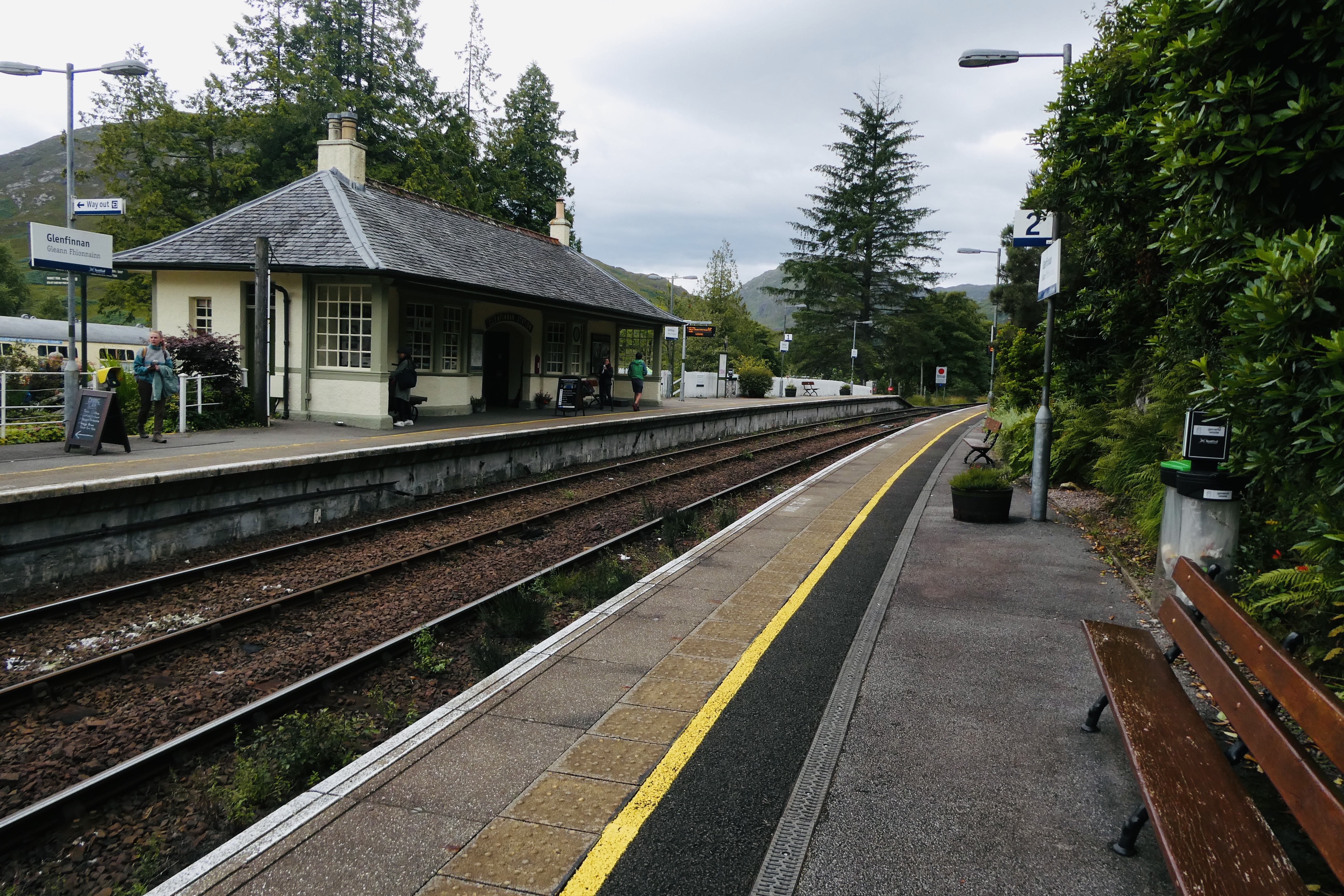
Glenfinnan railway station
Glenfinnan railway station is a railway station serving the village of Glenfinnan in the Highland council area of Scotland. It is on the West Highland...

Glenfinnan Viaduct
The Glenfinnan Viaduct is a railway viaduct on the West Highland Line in Glenfinnan, Inverness-shire, Scotland, built from 1897 to 1901. Located at the...

Sgùrr Ghiubhsachain
Sgùrr Ghiubhsachain is a mountain in the Lochaber area in the west of Scotland. Its summit is the highest point in a group of mountains that stand south...

Dubh Lighe
Dubh Lighe is a 2-kilometre (1.2 mi) long river in Lochaber, Highland, Scotland that flows the Gleann Dubh Lighe glen (valley), before flowing into Loch...

A830 road
The A830, also known as the Road to the Isles (though it forms only a part of the historic route) is a major road in Lochaber, Scottish Highlands. It connects...
Nearby Amenities
Located within 500m of 56.841975,-5.4177669Have you been to A' Chruach?
Leave your review of A' Chruach below (or comments, questions and feedback).