Am Meallan
Hill, Mountain in Ross-shire
Scotland
Am Meallan

Am Meallan is a prominent hill located in Ross-shire, Scotland. Situated in the northern region of the country, this majestic mountain is part of the wider Highlands region. With an elevation of approximately 708 meters (2,323 feet), it offers breathtaking panoramic views of the surrounding landscape.
The terrain of Am Meallan is characterized by rocky outcrops and open moorland, making it a challenging climb for hiking enthusiasts. The hill is known for its distinctive cone-shaped peak, which is often covered in heather and grasses during the summer months. The ascent to the summit involves traversing steep slopes and negotiating some rocky sections, adding an element of adventure to the climb.
As one reaches the top of Am Meallan, they are rewarded with stunning vistas of the surrounding countryside. The hill offers unobstructed views of rolling hills, lochs, and distant mountains, providing a true sense of the natural beauty of the Scottish Highlands.
Am Meallan is a popular destination for outdoor enthusiasts, attracting hikers, mountaineers, and nature lovers from all over. Its location within the wider Highland region means that it is easily accessible, with several well-marked trails leading to the summit.
The hill is also home to a variety of wildlife, including red deer, golden eagles, and ptarmigans. The diverse flora and fauna found in the area add to the allure of Am Meallan, making it a must-visit destination for those seeking a true Scottish outdoor experience.
If you have any feedback on the listing, please let us know in the comments section below.
Am Meallan Images
Images are sourced within 2km of 57.346221/-5.5466322 or Grid Reference NG8633. Thanks to Geograph Open Source API. All images are credited.


Am Meallan is located at Grid Ref: NG8633 (Lat: 57.346221, Lng: -5.5466322)
Unitary Authority: Highland
Police Authority: Highlands and Islands
What 3 Words
///actor.resources.teaching. Near Lochcarron, Highland
Nearby Locations
Related Wikis
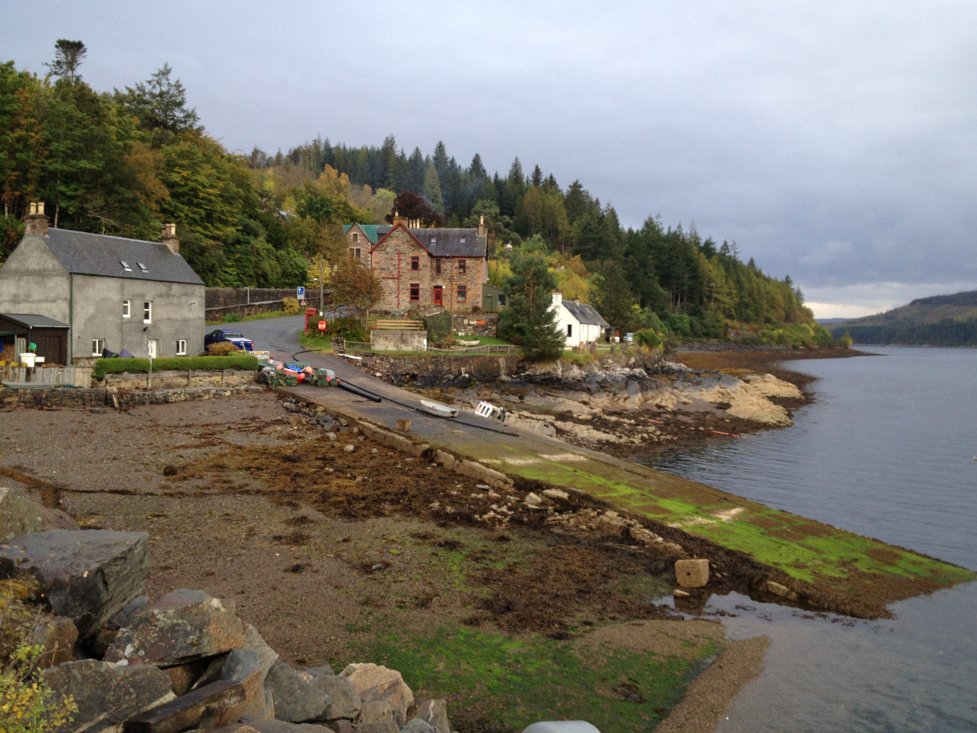
Stromeferry
Stromeferry (Scottish Gaelic: Port an t-Sròim) is a village, located on the south shore of the west coast sea loch, Loch Carron, in western Ross-shire...

Stromeferry railway station
Stromeferry railway station is a station on the Kyle of Lochalsh Line, serving the village of Stromeferry in the Highlands, northern Scotland. Stromeferry...
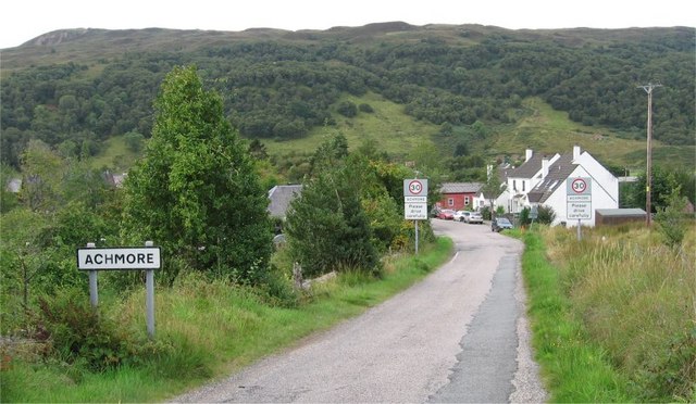
Achmore, Highland
Achmore (Scottish Gaelic: Acha Mòr, lit. 'big field') is a hamlet located close to the south shore of Loch Carron, approximately seven miles (eleven kilometres...
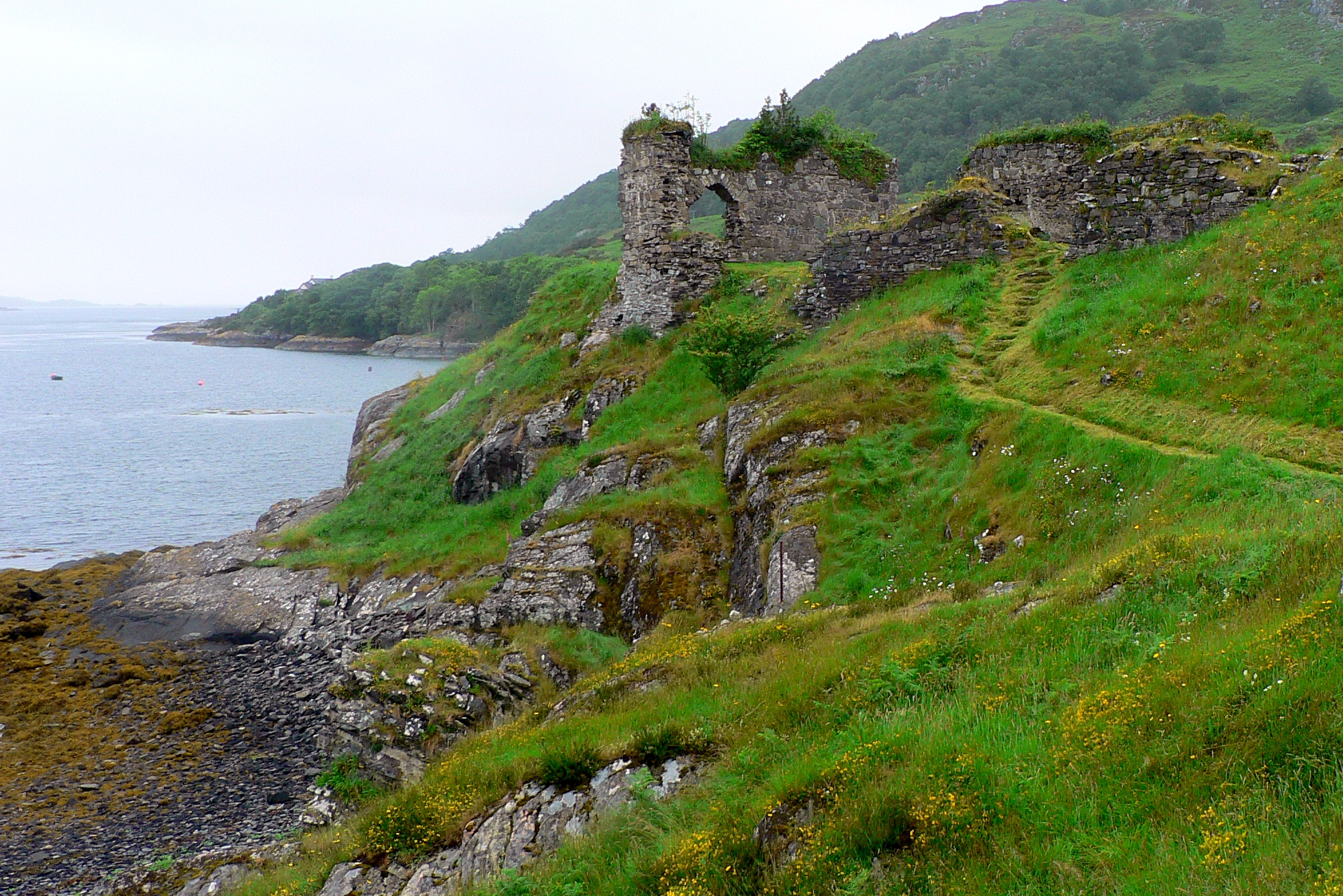
Strome Castle
Strome Castle is a ruined castle on the shore of Loch Carron in Stromemore, 3.5 miles south-west of the village of Lochcarron, on the headland between...
Nearby Amenities
Located within 500m of 57.346221,-5.5466322Have you been to Am Meallan?
Leave your review of Am Meallan below (or comments, questions and feedback).