Àird Mhòr
Hill, Mountain in Ross-shire
Scotland
Àird Mhòr
Àird Mhòr is a prominent hill located in Ross-shire, a county in the Scottish Highlands. Rising to an impressive height of 812 meters (2,664 feet), the mountain is a popular destination for hikers and nature enthusiasts.
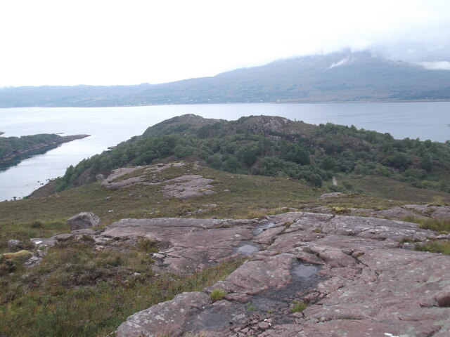
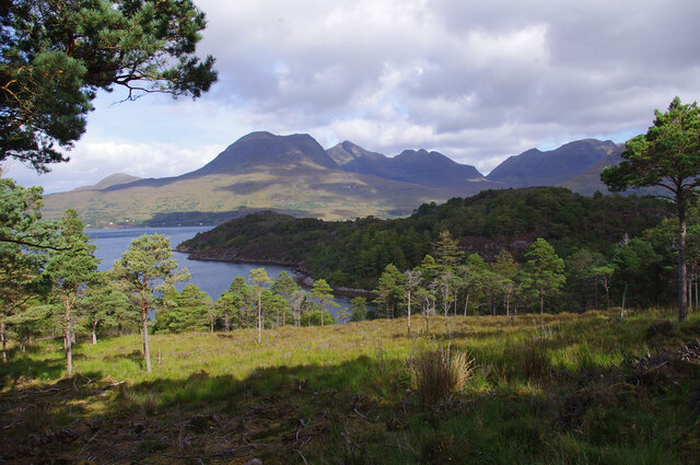
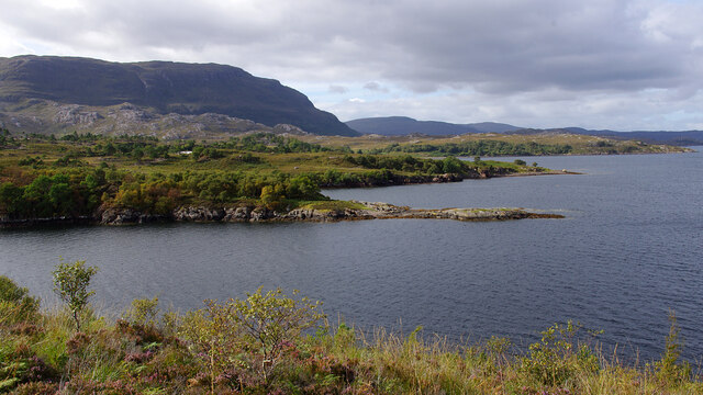
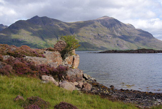
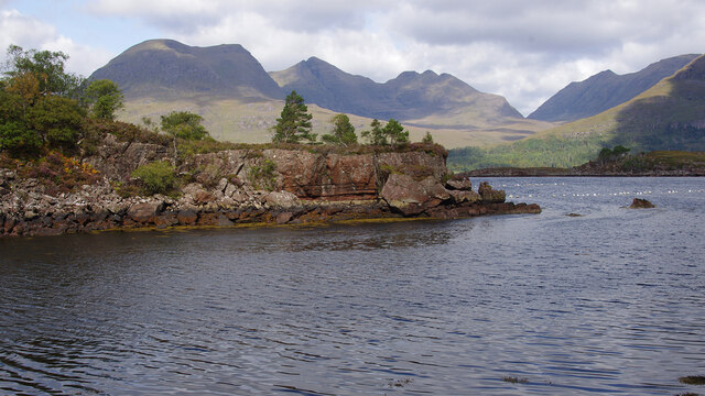
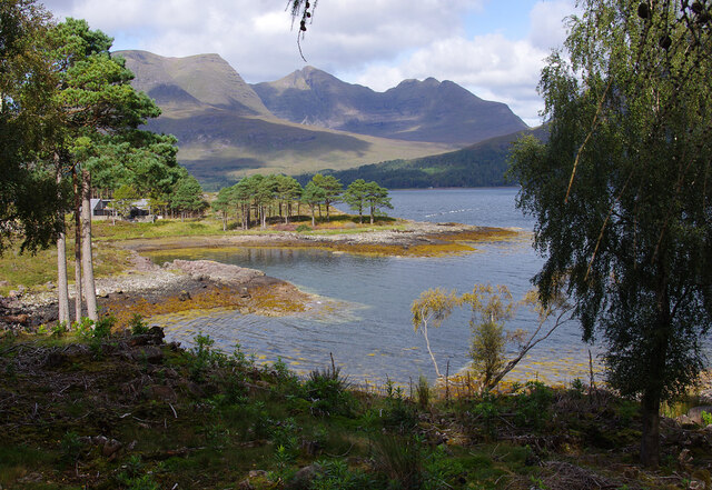
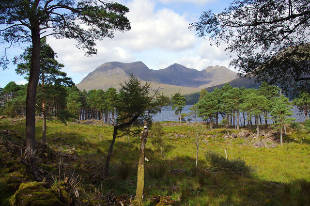
Situated in the remote and rugged region of the Northwest Highlands, Àird Mhòr offers breathtaking panoramic views of the surrounding landscape. The mountain is characterized by its steep and rocky terrain, making it a challenging but rewarding climb. Its distinctive shape and prominent location make it a recognizable landmark in the area.
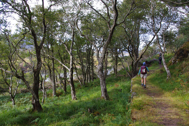
The ascent to the summit of Àird Mhòr is a popular route for experienced hikers, with various paths and trails leading to the top. The mountain is known for its diverse flora and fauna, with heather-covered slopes and scattered woodland providing habitats for a range of species. Birdwatchers may be lucky enough to spot golden eagles soaring overhead or catch a glimpse of elusive mountain hares.
Reaching the summit of Àird Mhòr rewards visitors with breathtaking views of the surrounding mountain ranges, including the nearby Torridon hills and the majestic Beinn Eighe. On a clear day, it is possible to see as far as the Isle of Skye and the Outer Hebrides.
Due to its remote location, it is advisable for hikers to be well-prepared and equipped with appropriate clothing and navigation tools. The weather conditions on Àird Mhòr can be unpredictable, with strong winds and low visibility being common occurrences.
Overall, Àird Mhòr offers a challenging but rewarding hiking experience, allowing visitors to immerse themselves in the stunning natural beauty of the Scottish Highlands.
If you have any feedback on the listing, please let us know in the comments section below.
Àird Mhòr Images
Images are sourced within 2km of 57.534688/-5.5751518 or Grid Reference NG8655. Thanks to Geograph Open Source API. All images are credited.


Àird Mhòr is located at Grid Ref: NG8655 (Lat: 57.534688, Lng: -5.5751518)
Unitary Authority: Highland
Police Authority: Highlands and Islands
What 3 Words
///copies.goat.cookie. Near Lochcarron, Highland
Related Wikis
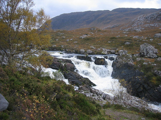
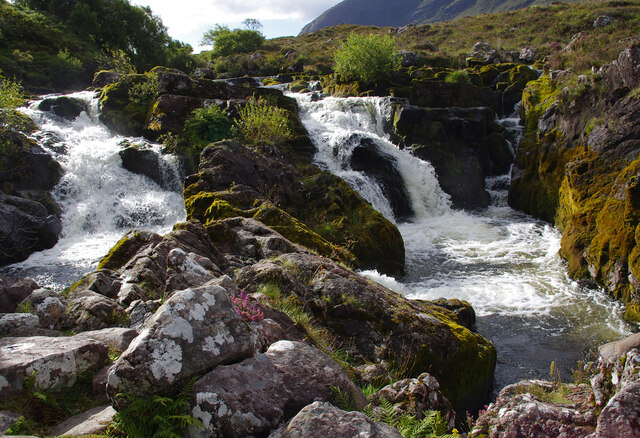
Falls of Balgy
Falls of Balgy is a waterfall near Torridon in Scotland. == See also == Waterfalls of Scotland == References ==

Annat, Highland
Annat (Scottish Gaelic: An Annaid) is a small village at the eastern end of Upper Loch Torridon in Wester Ross, in the Highland council area of Scotland...

Inveralligin
Inveralligin (Scottish Gaelic: Inbhir Àiliginn) is a remote crofting township which lies on the north shore of Loch Torridon in Wester Ross and is in the...

Torridon Hills
The Torridon Hills surround Torridon village in the Northwest Highlands of Scotland. The name is usually applied to the mountains to the north of Glen...
Have you been to Àird Mhòr?
Leave your review of Àird Mhòr below (or comments, questions and feedback).