An Creachan
Hill, Mountain in Argyllshire
Scotland
An Creachan

An Creachan is a prominent hill located in Argyllshire, Scotland. It is part of the stunning mountainous landscape of the area, offering breathtaking views and a variety of outdoor activities for visitors to enjoy.
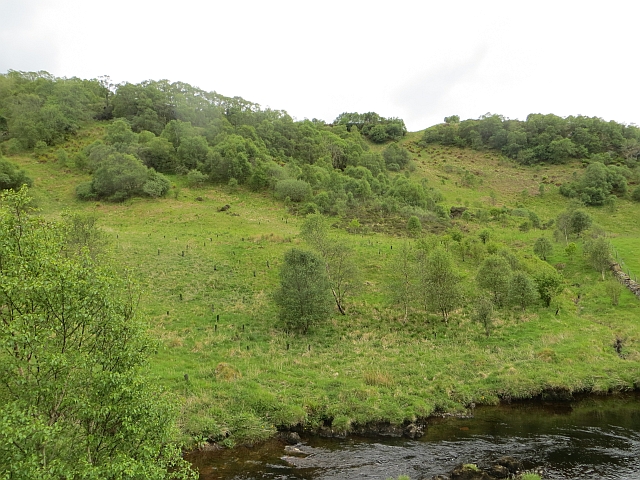
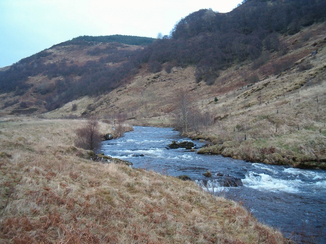
Standing at an elevation of approximately 651 meters (2,136 feet), An Creachan is known for its distinctive conical shape and rugged terrain. It is a popular destination for hikers and climbers, attracting outdoor enthusiasts from near and far. The ascent to the summit is challenging but rewarding, with panoramic views of the surrounding countryside, including nearby Loch Etive.
The hill is situated within the boundaries of the Loch Etive and Glen Noe National Scenic Area, which further enhances its natural beauty and conservation value. Its slopes are covered with a diverse range of vegetation, including heather, grasses, and mosses, providing habitat for various wildlife species such as red deer, mountain hares, and golden eagles.
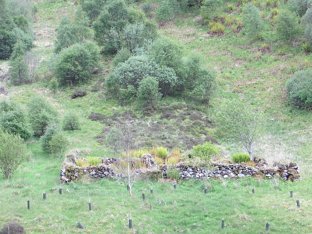
For those interested in history and archaeology, An Creachan has its own significance. The hill is home to several ancient burial sites and remains of fortifications, showcasing its cultural heritage and offering a glimpse into the past.
Visitors to An Creachan can explore the surrounding area through a network of well-maintained trails, ensuring a memorable outdoor experience. Whether it's a challenging hike to the summit or a leisurely stroll through the scenic countryside, An Creachan offers something for everyone to enjoy in the heart of Argyllshire.
If you have any feedback on the listing, please let us know in the comments section below.
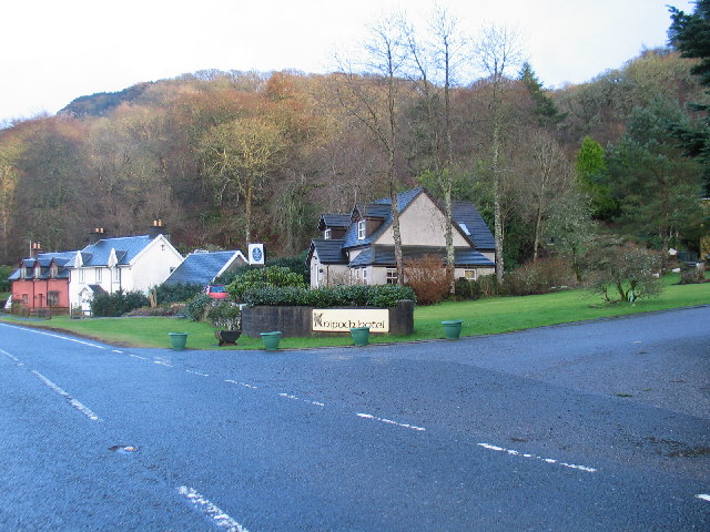
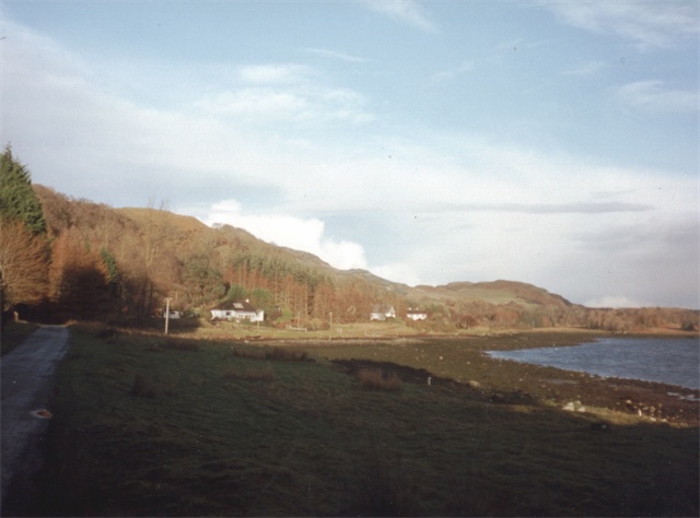
An Creachan Images
Images are sourced within 2km of 56.336883/-5.4630368 or Grid Reference NM8621. Thanks to Geograph Open Source API. All images are credited.


An Creachan is located at Grid Ref: NM8621 (Lat: 56.336883, Lng: -5.4630368)
Unitary Authority: Argyll and Bute
Police Authority: Argyll and West Dunbartonshire
What 3 Words
///moisture.frightens.scrapping. Near Oban, Argyll & Bute
Nearby Locations
Related Wikis

Battle of Lagganmore
The Battle of Lagganmore took place in 1646 at Lagganmore in Glen Euchar, west of Loch Scammadale. It was part of the Wars of the Three Kingdoms, though...
Ardentallen
Ardentallen (Scottish Gaelic: Àird an t-Sàilein) is a village in Argyll and Bute, Scotland. == References ==

Lorn and Islands Hospital
Lorn & Islands Hospital is a rural general hospital on the southern outskirts of Oban in Argyll, Scotland. It is managed by NHS Highland. == History... ==

Kilmelfort Hydro-Electric Scheme
Kilmelfort Hydro-Electric Scheme is a small-scale hydro-electric power station, built by the North of Scotland Hydro-Electric Board and commissioned in...
Nearby Amenities
Located within 500m of 56.336883,-5.4630368Have you been to An Creachan?
Leave your review of An Creachan below (or comments, questions and feedback).