Heath, High
Settlement in Shropshire
England
Heath, High

Heath, High is a picturesque village located in the county of Shropshire, England. Situated in the West Midlands region, it lies approximately 7 miles southeast of the county town of Shrewsbury and is nestled amidst the beautiful Shropshire Hills Area of Outstanding Natural Beauty.
The village is characterized by its charming rural setting, with rolling hills, fields, and woodlands surrounding it. It is known for its stunning scenery and is a popular destination for outdoor enthusiasts, offering opportunities for hiking, cycling, and exploring nature. The nearby Long Mynd, a heath and moorland plateau, is a particular highlight for visitors.
Heath, High has a small population, with a close-knit community that takes pride in preserving its historic character and natural environment. The village has a few local amenities, including a village hall, a primary school, and a traditional English pub, where residents and visitors can enjoy a warm welcome and sample local cuisine.
The area has a rich history, with evidence of human habitation dating back to the Bronze Age. The village itself has a number of historic buildings and landmarks, such as the 12th-century St. Mary's Church, which stands as a testament to the village's long-standing heritage.
Overall, Heath, High offers a peaceful and idyllic retreat from the hustle and bustle of city life, providing a perfect opportunity to immerse oneself in the beauty of the Shropshire countryside.
If you have any feedback on the listing, please let us know in the comments section below.
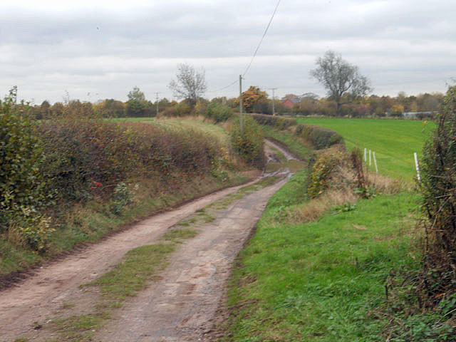
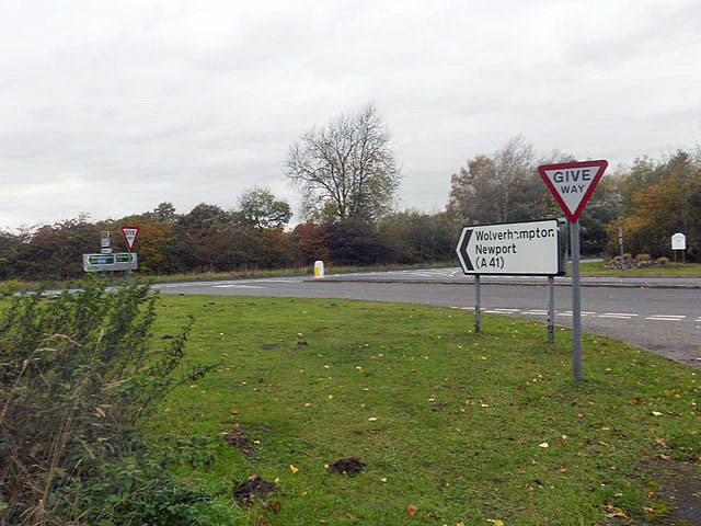
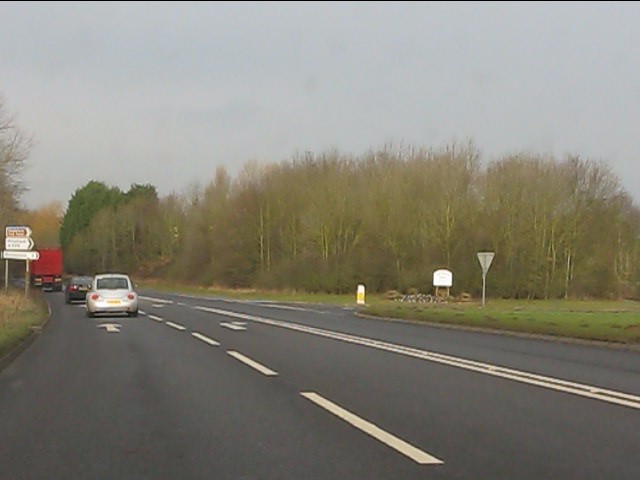
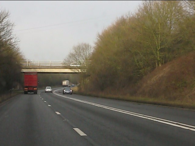
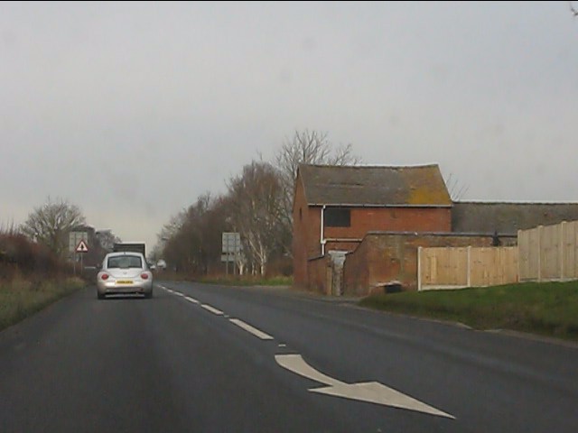
Heath, High Images
Images are sourced within 2km of 52.843794/-2.467655 or Grid Reference SJ6827. Thanks to Geograph Open Source API. All images are credited.


Heath, High is located at Grid Ref: SJ6827 (Lat: 52.843794, Lng: -2.467655)
Unitary Authority: Shropshire
Police Authority: West Mercia
What 3 Words
///settle.solution.realm. Near Stoke upon Tern, Shropshire
Nearby Locations
Related Wikis

Quarry Wood, Hinstock
Quarry Wood nature reserve is a 7-acre (28,000 m2) woodland on the west side of the A41 road at Hinstock in Shropshire that is managed by the Shropshire...

Hinstock
Hinstock is a village and civil parish in Shropshire, England. It appeared in the Domesday book survey as "Stoche" (from Old English stoc, "dependent settlement...

Ashfields
Ashfields is a village in Shropshire, England.

Goldstone, Shropshire
Goldstone is a small hamlet in eastern Shropshire, England, in the civil parish of Cheswardine. It lies in an isolated rural area north of Hinstock and...
Nearby Amenities
Located within 500m of 52.843794,-2.467655Have you been to Heath, High?
Leave your review of Heath, High below (or comments, questions and feedback).