Am Bàrr
Hill, Mountain in Argyllshire
Scotland
Am Bàrr

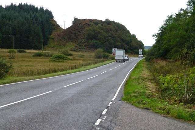
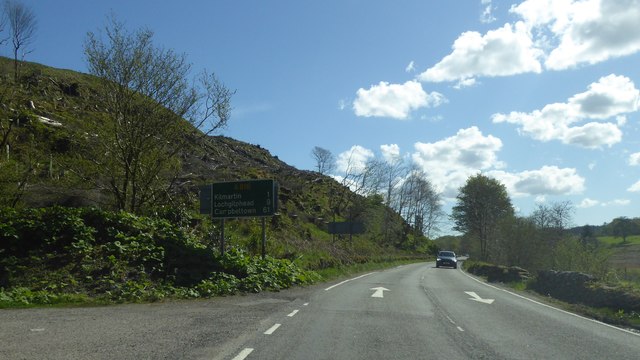
Am Bàrr is a prominent hill located in Argyllshire, Scotland. It is situated in the western part of the country, near the village of Taynuilt. The hill is part of the stunning landscape of the Scottish Highlands, known for its rugged beauty and diverse flora and fauna.
Rising to an elevation of approximately 512 meters (1,680 feet), Am Bàrr offers breathtaking panoramic views of the surrounding countryside. Its location provides visitors with an excellent vantage point to admire the vast expanse of Loch Etive and the nearby mountains, including Ben Cruachan and Beinn Trilleachan.
The ascent to the summit of Am Bàrr can be challenging, requiring a moderate level of fitness and some hiking experience. However, the effort is rewarded by the stunning vistas and the opportunity to immerse oneself in the tranquility of the Scottish countryside. The hill is often frequented by hikers, nature enthusiasts, and photographers who are drawn to its natural beauty and serene atmosphere.
The vegetation on Am Bàrr is diverse, with heather-covered slopes and patches of woodland. The hill also serves as a habitat for various bird species, including golden eagles and peregrine falcons, making it a popular spot for birdwatching.
Overall, Am Bàrr in Argyllshire is a must-visit destination for those seeking an authentic Scottish Highland experience. Its striking views, challenging hiking trails, and rich biodiversity make it a captivating location for outdoor enthusiasts and nature lovers alike.
If you have any feedback on the listing, please let us know in the comments section below.
Am Bàrr Images
Images are sourced within 2km of 56.159122/-5.4614111 or Grid Reference NM8501. Thanks to Geograph Open Source API. All images are credited.


Am Bàrr is located at Grid Ref: NM8501 (Lat: 56.159122, Lng: -5.4614111)
Unitary Authority: Argyll and Bute
Police Authority: Argyll and West Dunbartonshire
What 3 Words
///fuses.huddle.planting. Near Lochgilphead, Argyll & Bute
Nearby Locations
Related Wikis
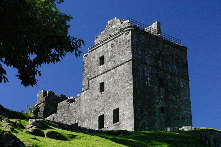
Carnasserie Castle
Carnasserie Castle (also spelled Carnassarie) is a ruined 16th-century tower house, noted for its unusual plan and renaissance detailing. It is located...
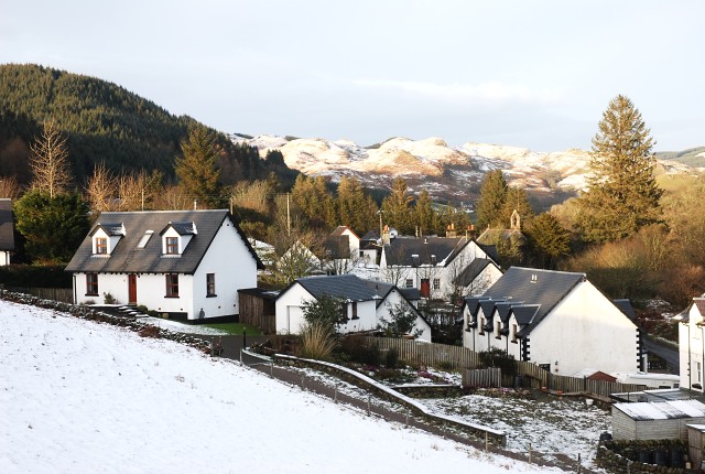
Ford, Argyll
Ford (Scottish Gaelic: Àth na Crà) is a small village at the southern end of Loch Awe in Argyll, Scotland. The village originated as a stopping point on...

Kilmartin Stones
The Kilmartin Stones are a collection of 79 ancient graveslabs (one exception being a side-slab of a tomb chest) at Kilmartin parish church in the village...

Kilmartin Glen
Kilmartin Glen is an area in Argyll north of Knapdale. It has the most important concentration of Neolithic and Bronze Age remains in mainland Scotland...
Nearby Amenities
Located within 500m of 56.159122,-5.4614111Have you been to Am Bàrr?
Leave your review of Am Bàrr below (or comments, questions and feedback).