High Hauxley

Settlement in Northumberland

England

High Hauxley

Coquet Island From Low Hauxley
Coquet Island Credit: Chris Morgan

High Hauxley is a small coastal village located in the county of Northumberland, England. Situated on the northeastern coast of the country, it is part of the larger Hauxley parish. The village is nestled between the towns of Amble to the south and Warkworth to the north.

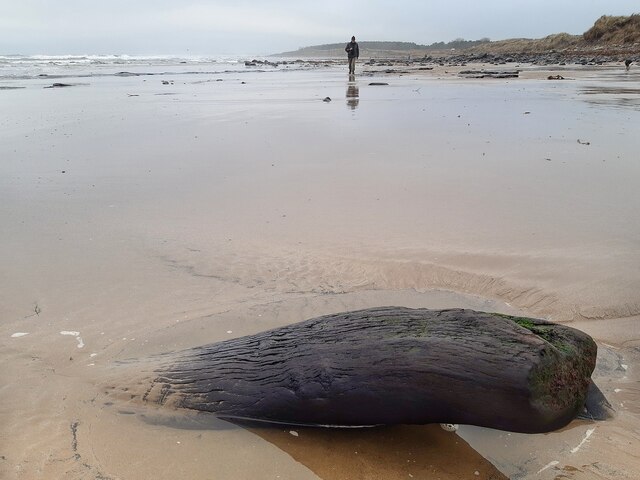
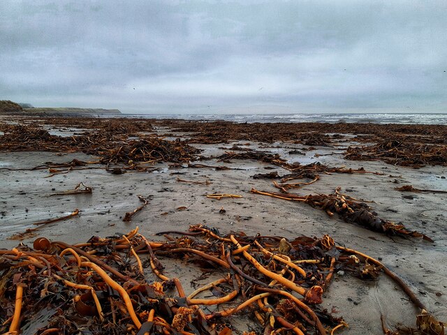
Known for its idyllic setting and natural beauty, High Hauxley offers stunning views of the North Sea and boasts a long stretch of sandy beach. The area is renowned for its diverse wildlife, making it a popular destination for nature enthusiasts and birdwatchers. The nearby Hauxley Nature Reserve is a haven for various bird species and provides a tranquil environment for visitors to explore.

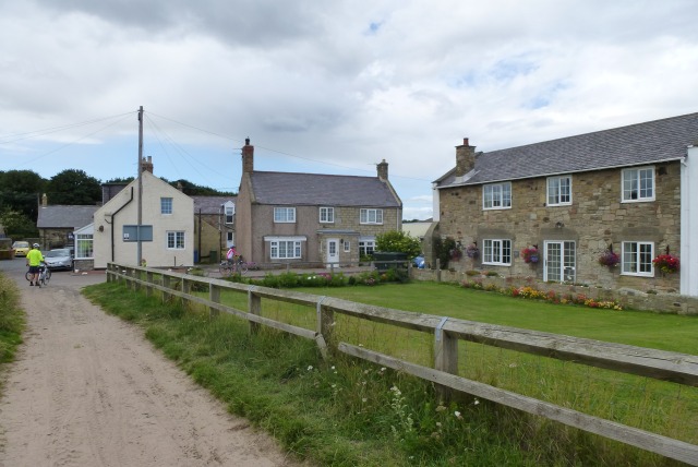
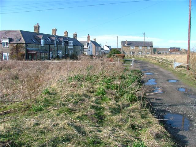
In addition to its natural attractions, High Hauxley offers a range of amenities to cater to residents and visitors. It has a small village hall that hosts community events and gatherings. The village is served by excellent transport links, with buses connecting it to nearby towns and villages, and the nearby Amble railway station providing access to further destinations.

High Hauxley is also home to a small number of residential properties, with a mix of traditional cottages and more modern houses. While it may not have a significant population, the village has a close-knit community that takes pride in its picturesque surroundings and welcoming atmosphere.

Overall, High Hauxley is a charming coastal village that offers a peaceful retreat and the opportunity to immerse oneself in the beauty of Northumberland's coastline and wildlife.

If you have any feedback on the listing, please let us know in the comments section below.

High Hauxley Images

Images are sourced within 2km of 55.321529/-1.56209 or Grid Reference NU2703. Thanks to Geograph Open Source API. All images are credited.

Coquet Island From Low Hauxley
Coquet Island
From Low Hauxley
Bondi Carrs Low Hauxley
Bondi Carrs
Low Hauxley
Rocks at Low Hauxley
Warkworth Harbour, Amble
Tree trunk in sand near Togston Links Remnant from the Quaternary peat deposits found nearby <a href="https://www.geograph.org.uk/photo/2918958">NU2802 : Quaternary peat deposit, Low Hauxley shore</a>
Tree trunk in sand near Togston Links
Remnant from the Quaternary peat deposits found nearby NU2802 : Quaternary peat deposit, Low Hauxley shore
Storm debris, Druridge Bay
Pinnace 1386 Memorial In remembrance of those lost when RAF search and rescue craft Pinnace 1386 overturned while approaching Amble harbour in severe weather. One crew member survived after Royal Navy divers managed to create a hole in the upturned hull, from which he managed to escape.
Pinnace 1386 Memorial
In remembrance of those lost when RAF search and rescue craft Pinnace 1386 overturned while approaching Amble harbour in severe weather. One crew member survived after Royal Navy divers managed to create a hole in the upturned hull, from which he managed to escape.
Three Turnstones  On the quay at Warkworth Harbour.
Not afraid of people and happy to scavange on the boats at the quayside.
Three Turnstones
On the quay at Warkworth Harbour. Not afraid of people and happy to scavange on the boats at the quayside.
Trawler restocking at Warkworth Harbour Note the turnstones on the quay edge.
Trawler restocking at Warkworth Harbour
Note the turnstones on the quay edge.
Sign board giving details of coal truck The staithes are visible across the River Coquet from the harbour.
Sign board giving details of coal truck
The staithes are visible across the River Coquet from the harbour.
Coal truck used on the staithes Amble grew in the nineteenth century as collieries were opened; and the newly built railway links to the Northumberland coalfields made the town a centre for the sea transport and export of coal.
The arrival of the railway lead to the construction of coal staithes.
This is an example of the trucks used on the staithes to load coal into ships.
See <a title="https://www.geograph.org.uk/photo/7080285" href="https://www.geograph.org.uk/photo/7080285">Link</a> for details.
Coal truck used on the staithes
Amble grew in the nineteenth century as collieries were opened; and the newly built railway links to the Northumberland coalfields made the town a centre for the sea transport and export of coal. The arrival of the railway lead to the construction of coal staithes. This is an example of the trucks used on the staithes to load coal into ships. See Link for details.
Circa Cafe, Amble Opening out on to a filling station forecourt, the Circa Cafe is a curious combination of café and antiques shop. Inside, the antiques and collectables showroom is surprisingly large with an extensive range of items for sale. To the left of the café is a Londis store.
Circa Cafe, Amble
Opening out on to a filling station forecourt, the Circa Cafe is a curious combination of café and antiques shop. Inside, the antiques and collectables showroom is surprisingly large with an extensive range of items for sale. To the left of the café is a Londis store.
Low tide at Togston Links
Bondi Carrs exposed at low tide
Low tide at Hauxley Links
Silver Carrs exposed at low tide
Cottages on the dunes
Exposed rocks at Hauxley Haven
Show me another place!

High Hauxley is located at Grid Ref: NU2703 (Lat: 55.321529, Lng: -1.56209)

Unitary Authority: Northumberland

Police Authority: Northumbria

What 3 Words

///perch.opposite.wordplay. Near Amble, Northumberland

Related Wikis

Hauxley Lifeboat Station

Hauxley Lifeboat Station is a former Royal National Lifeboat Institution (RNLI) station, which was located at the village of Low Hauxley in the county...

Low Hauxley

Low Hauxley is a small village in Northumberland, in the former Alnwick district, less than 1 mile (1.6 km) from Amble and around 27 miles (43 km) from...
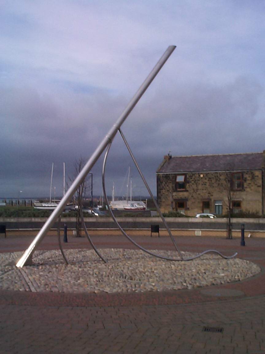
Amble

Amble is a town on the North Sea coast of Northumberland, England, at the mouth of the River Coquet; Coquet Island is visible from its beaches and harbour...

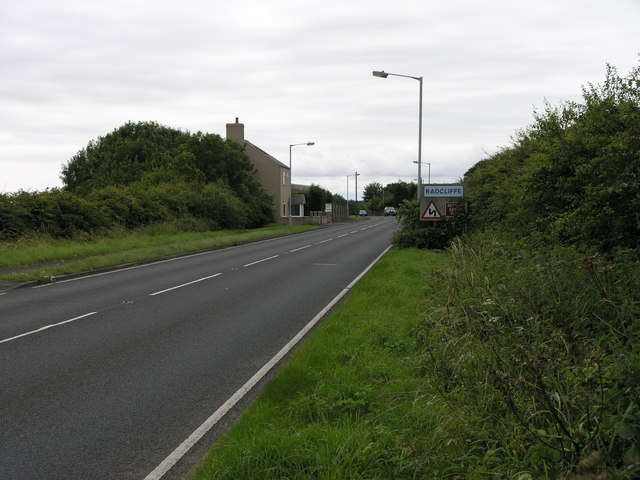
Radcliffe, Northumberland

Radcliffe is a settlement in the county of Northumberland, England. It is located 1 km south of the town of Amble. Radcliffe was a mining community, once...

Nearby Amenities

Located within 500m of 55.321529,-1.56209
Hauxley
Place: hamlet
Lat/Long: 55.3214642/-1.5618435
Historic: mine
Mineral: coal
Source: NPE
Lat/Long: 55.3229973/-1.5554291
Turning Circle
Lat/Long: 55.3228367/-1.5689062
Post Box
Ref: NE65 14
Lat/Long: 55.3214226/-1.5639919
Generator Method: photovoltaic
Generator Output Electricity: yes
Generator Source: solar
Generator Type: solar_photovoltaic_panel
Location: roof
Power: generator
Lat/Long: 55.3211717/-1.5643701
Generator Method: photovoltaic
Generator Output Electricity: yes
Generator Source: solar
Generator Type: solar_photovoltaic_panel
Location: roof
Power: generator
Lat/Long: 55.3211862/-1.5641287
Traffic Calming: bump
Lat/Long: 55.3188432/-1.5591739
Traffic Calming: bump
Lat/Long: 55.3185503/-1.5588868
Traffic Calming: bump
Lat/Long: 55.3182163/-1.5585595
Traffic Calming: bump
Lat/Long: 55.3179693/-1.558198
Direction: forward
Traffic Calming: choker
Lat/Long: 55.3210944/-1.5661642
The data included in this document is from www.openstreetmap.org. The data is made available under ODbL.

Have you been to High Hauxley?

Leave your review of High Hauxley below (or comments, questions and feedback).