Cnoc na Sean-leacainn
Hill, Mountain in Argyllshire
Scotland
Cnoc na Sean-leacainn
The requested URL returned error: 429 Too Many Requests
If you have any feedback on the listing, please let us know in the comments section below.
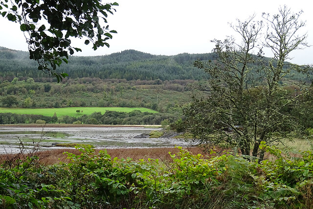
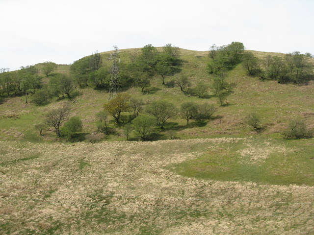
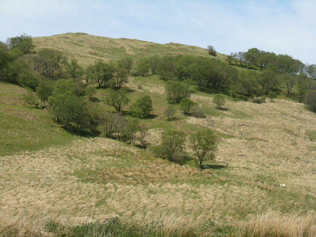
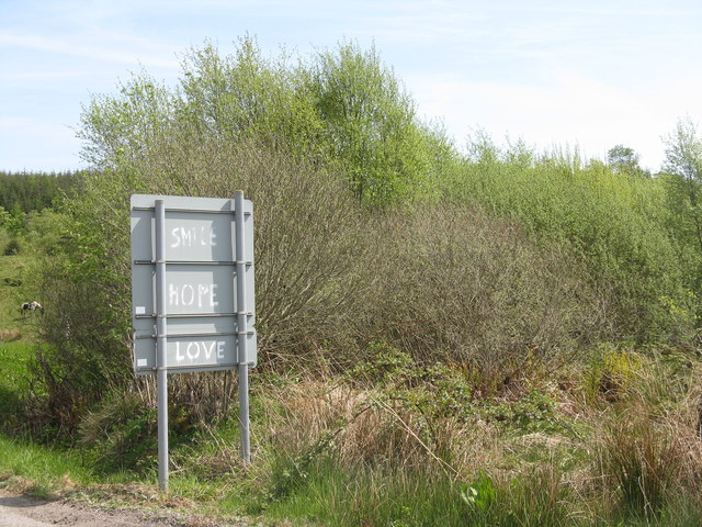
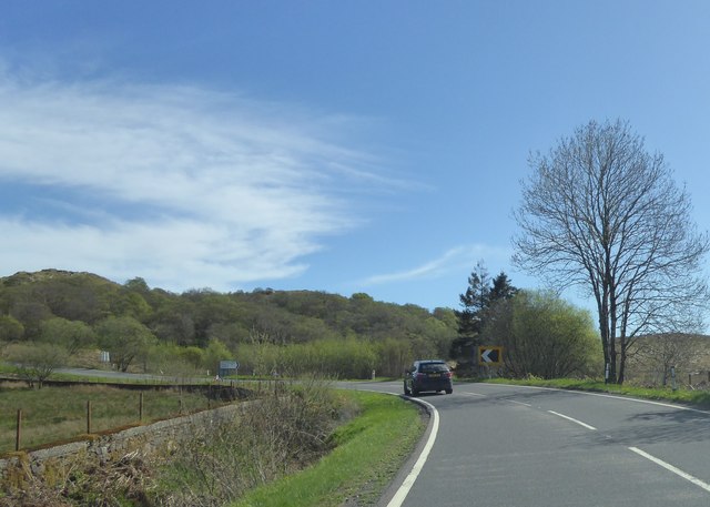
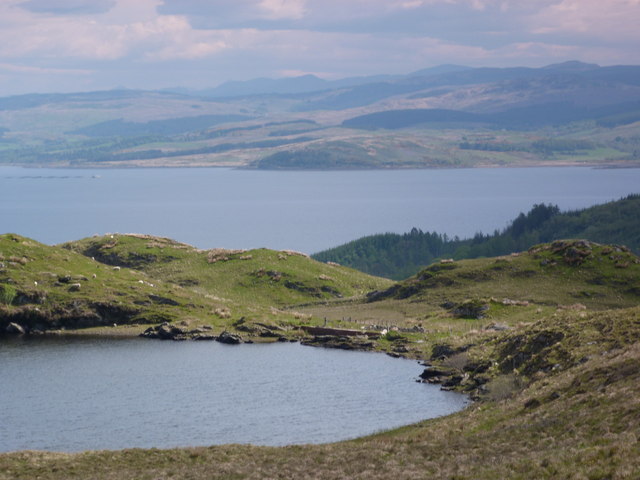
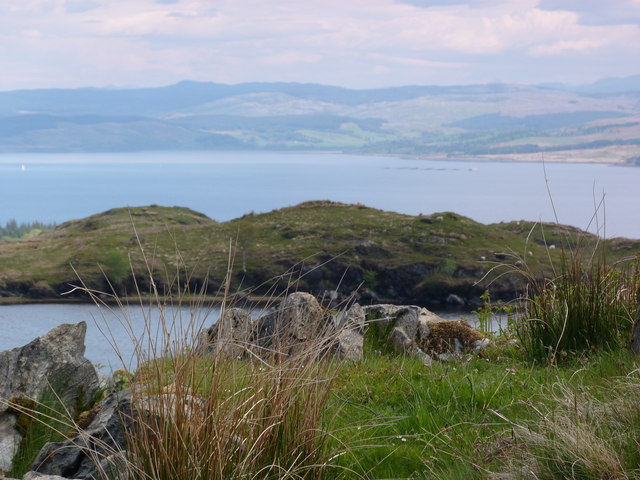
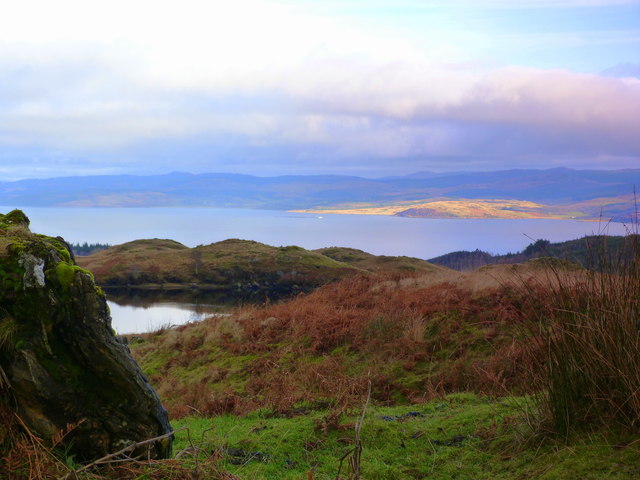
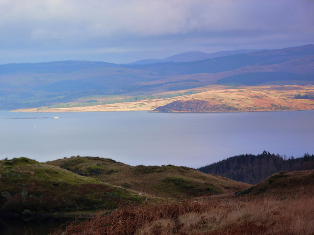
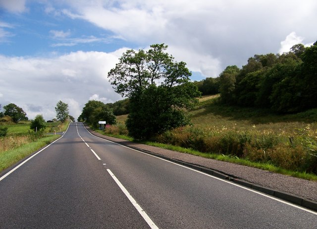
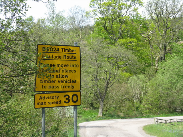
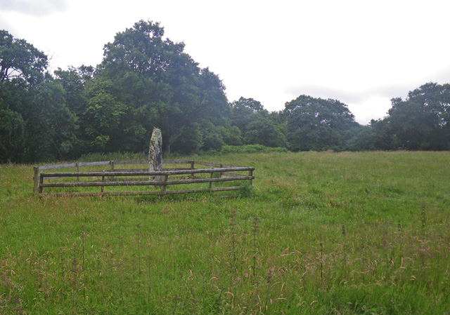
Cnoc na Sean-leacainn Images
Images are sourced within 2km of 55.871311/-5.4465927 or Grid Reference NR8469. Thanks to Geograph Open Source API. All images are credited.


Cnoc na Sean-leacainn is located at Grid Ref: NR8469 (Lat: 55.871311, Lng: -5.4465927)
Unitary Authority: Argyll and Bute
Police Authority: Argyll and West Dunbartonshire
What 3 Words
///hires.swept.juggled. Near Tarbert, Argyll & Bute
Nearby Locations
Related Wikis
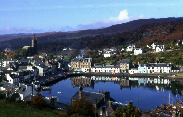
Tarbert, Kintyre
Tarbert (Scottish Gaelic: An Tairbeart, pronounced [ən̪ˠ ˈt̪ʰaɾʲapərˠʃt̪], or Tairbeart Loch Fìne to distinguish it from other places of the same name...
Avinagillan standing stone
The Avinagillan standing stone is a prehistoric menhir on the Kintyre Peninsula of Scotland. The stone is near the hamlet of Avinagillan. == See also... ==

Tarbert Castle
Tarbert Castle is located on the southern shore of East Loch Tarbert, at Tarbert, Argyll, Scotland, at the north end of Kintyre. Tarbert Castle was a strategic...

Stonefield Castle
Stonefield Castle is a Scottish baronial manor house near the village of Stonefield, north of Tarbert, Argyll & Bute, Scotland. It was built on the site...
Nearby Amenities
Located within 500m of 55.871311,-5.4465927Have you been to Cnoc na Sean-leacainn?
Leave your review of Cnoc na Sean-leacainn below (or comments, questions and feedback).