An Càrnach
Hill, Mountain in Ross-shire
Scotland
An Càrnach

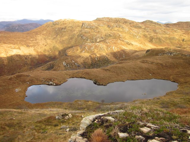
An Càrnach is a prominent hill located in Ross-shire, Scotland. Standing at an impressive height of 709 meters (2,326 feet), it is considered one of the most well-known mountains in the area. An Càrnach is part of the Fisherfield Forest, which is a vast and remote area known for its rugged beauty and untouched landscapes.
The hill is characterized by its steep slopes and rocky terrain, making it a challenging yet rewarding destination for hikers and mountaineers. The ascent to the summit offers breathtaking panoramic views of the surrounding countryside, including the nearby Munros of Beinn a' Chlaidheimh and Sgùrr Ban. On a clear day, it is even possible to see as far as the Isle of Skye.
An Càrnach is also notable for its rich biodiversity. The lower slopes are covered in dense forests, providing a habitat for various species of birds, mammals, and plant life. The hill is particularly renowned for its population of red deer, which can often be spotted grazing in the lower valleys.
For those seeking a more remote and secluded outdoor experience, An Càrnach is an ideal destination. Its remote location means that it is less frequented by tourists, allowing visitors to immerse themselves in the tranquility and natural beauty of the Scottish Highlands.
If you have any feedback on the listing, please let us know in the comments section below.
An Càrnach Images
Images are sourced within 2km of 57.308462/-5.5840731 or Grid Reference NG8429. Thanks to Geograph Open Source API. All images are credited.


An Càrnach is located at Grid Ref: NG8429 (Lat: 57.308462, Lng: -5.5840731)
Unitary Authority: Highland
Police Authority: Highlands and Islands
What 3 Words
///meanders.pulp.mountains. Near Kyleakin, Highland
Nearby Locations
Related Wikis
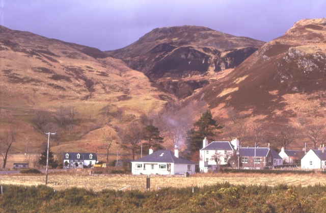
Auchtertyre
Auchtertyre (Scottish Gaelic: Uachdar Thìre, "Upper Land") is a village, lying half a mile from the north shore of Loch Alsh near Kyle of Lochalsh, in...
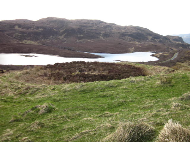
Loch Achaidh na h-Inich
Loch Achaidh na h-Inich is a freshwater loch in Scotland, located around 3 kilometres (1.9 mi) south-south-east of Plockton, 2 kilometres (1.2 mi) east...

Nostie
Nostie (Scottish Gaelic: Ceann na Mòna) is a small remote hamlet, lying on Nostie Bay, an inlet at the northeastern end of the sea loch, Loch Alsh in the...

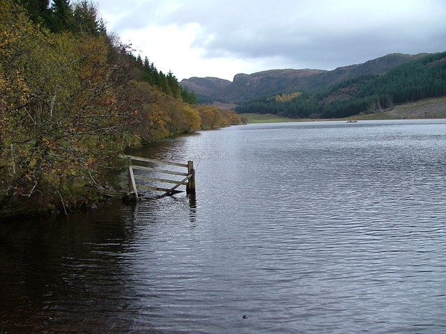
Loch Anna
Loch Anna is a small, upland, freshwater loch approximately 2.4 km (1.5 mi) north of Loch Alsh at Ardelve, in Lochalsh, Scotland. It lies in a northwest...
Have you been to An Càrnach?
Leave your review of An Càrnach below (or comments, questions and feedback).