An Staonach

Hill, Mountain in Ross-shire

Scotland

An Staonach

Top of The Pass Of Cattle on road to Applecross
Top of The Pass Of Cattle on road to Applecross Credit: David Pashley

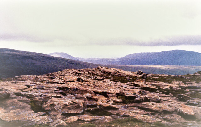
An Staonach is a prominent hill located in Ross-shire, Scotland. It is situated in the region known as the Northwest Highlands, which is renowned for its rugged and picturesque landscapes. An Staonach stands at an elevation of approximately 646 meters (2,119 feet), making it a notable landmark in the area.

The hill is characterized by its distinctive shape, featuring a rounded summit and steep slopes covered in heather and grass. Its location offers panoramic views of the surrounding countryside, including nearby Loch Broom and the sprawling mountain ranges that dominate the region.

An Staonach is a popular destination for outdoor enthusiasts, particularly hikers and mountaineers. Its challenging terrain attracts those seeking a physical challenge and an opportunity to immerse themselves in the stunning natural scenery. The ascent to the summit is steep and requires a moderate level of fitness and navigation skills.

The hill is part of the larger An Teallach mountain range, which is renowned for its dramatic peaks and ridges. An Staonach offers a relatively accessible route for those wanting to explore this mountainous region.

Visitors to An Staonach should come prepared with appropriate clothing, sturdy footwear, and navigation equipment, as the weather conditions can be unpredictable, with sudden changes in temperature and visibility. It is also important to be aware of the potential presence of livestock, such as sheep, as the hill is used for grazing purposes.

Overall, An Staonach is a captivating hill that offers a challenging yet rewarding experience for outdoor enthusiasts, with its stunning views and rugged terrain showcasing the beauty of the Scottish Highlands.

If you have any feedback on the listing, please let us know in the comments section below.

An Staonach Images

Images are sourced within 2km of 57.471028/-5.6205682 or Grid Reference NG8248. Thanks to Geograph Open Source API. All images are credited.

Top of The Pass Of Cattle on road to Applecross
Head of Glen Shieldaig Taken from a loop of old road alignment, a rare stopping opportunity on this road. The dry Summer (if it was ever dry here) that prompted the notice is now a memory.
Head of Glen Shieldaig
Taken from a loop of old road alignment, a rare stopping opportunity on this road. The dry Summer (if it was ever dry here) that prompted the notice is now a memory.
A896, Glen Shieldaig
Looking over the Abhainn nan Lùb With Beinn a' Chait crowning the horizon.
Looking over the Abhainn nan Lùb
With Beinn a' Chait crowning the horizon.
Abhainn nan Lùb Wending its way over the fairly narrow but even floor of Glen Shieldaig.
Abhainn nan Lùb
Wending its way over the fairly narrow but even floor of Glen Shieldaig.
Glen Shieldaig narrows River and road squeeze through a narrow bit as they climb to the moorland beyond.
Glen Shieldaig narrows
River and road squeeze through a narrow bit as they climb to the moorland beyond.
Looking down Glen Shieldaig With the western side of Ben Shieldaig forming the backdrop.
Looking down Glen Shieldaig
With the western side of Ben Shieldaig forming the backdrop.
Allt na Ruadh-bruaich A stream feeding off the hill of An Ruadh-Bruach.
Allt na Ruadh-bruaich
A stream feeding off the hill of An Ruadh-Bruach.
Road (A896) beside Abhainn  nan Lub in Glen Shieldaig Looking north-westward.
Road (A896) beside Abhainn nan Lub in Glen Shieldaig
Looking north-westward.
Road (A896) beside Abhainn nan Lub in Glen Shieldaig Looking south-eastward.
Road (A896) beside Abhainn nan Lub in Glen Shieldaig
Looking south-eastward.
Obsolete stretch of tarmac having been superseded by a straighter section of road (A896) Looking south-eastward.
Obsolete stretch of tarmac having been superseded by a straighter section of road (A896)
Looking south-eastward.
Passing Place At the top of the road out of Glen Shieldaig
Passing Place
At the top of the road out of Glen Shieldaig
Western Slopes of Meall Dubh In Glen Shieldaig.
Western Slopes of Meall Dubh
In Glen Shieldaig.
South-eastern end of Loch Lundie Hut at south-eastern end of Loch Lundie.  Not shown on 1:50k map.
South-eastern end of Loch Lundie
Hut at south-eastern end of Loch Lundie. Not shown on 1:50k map.
Bridge carrying the A896 over Abhainn nan Luib
Glen Shieldaig (Old & New Road) View down the Glen with the Abhainn nan Luib on the left.
Glen Shieldaig (Old & New Road)
View down the Glen with the Abhainn nan Luib on the left.
Abhainn nan Lub and Glen Shieldaig
Fish farm on Loch Lundie A very isolated spot, particularly in winter.  Fish farming is an important part of the Wester Ross economy, both in fresh and in salt water.
Fish farm on Loch Lundie
A very isolated spot, particularly in winter. Fish farming is an important part of the Wester Ross economy, both in fresh and in salt water.
Show me another place!

An Staonach is located at Grid Ref: NG8248 (Lat: 57.471028, Lng: -5.6205682)

Unitary Authority: Highland

Police Authority: Highlands and Islands

What 3 Words

///aviators.highbrow.jigging. Near Lochcarron, Highland

Nearby Locations

An Staonach

Related Wikis

Beinn Bhàn (Applecross)

Beinn Bhàn is a mountain in the highlands of Scotland, lying on the Applecross peninsula, on the north side of Loch Kishorn.Located on the eastern side...
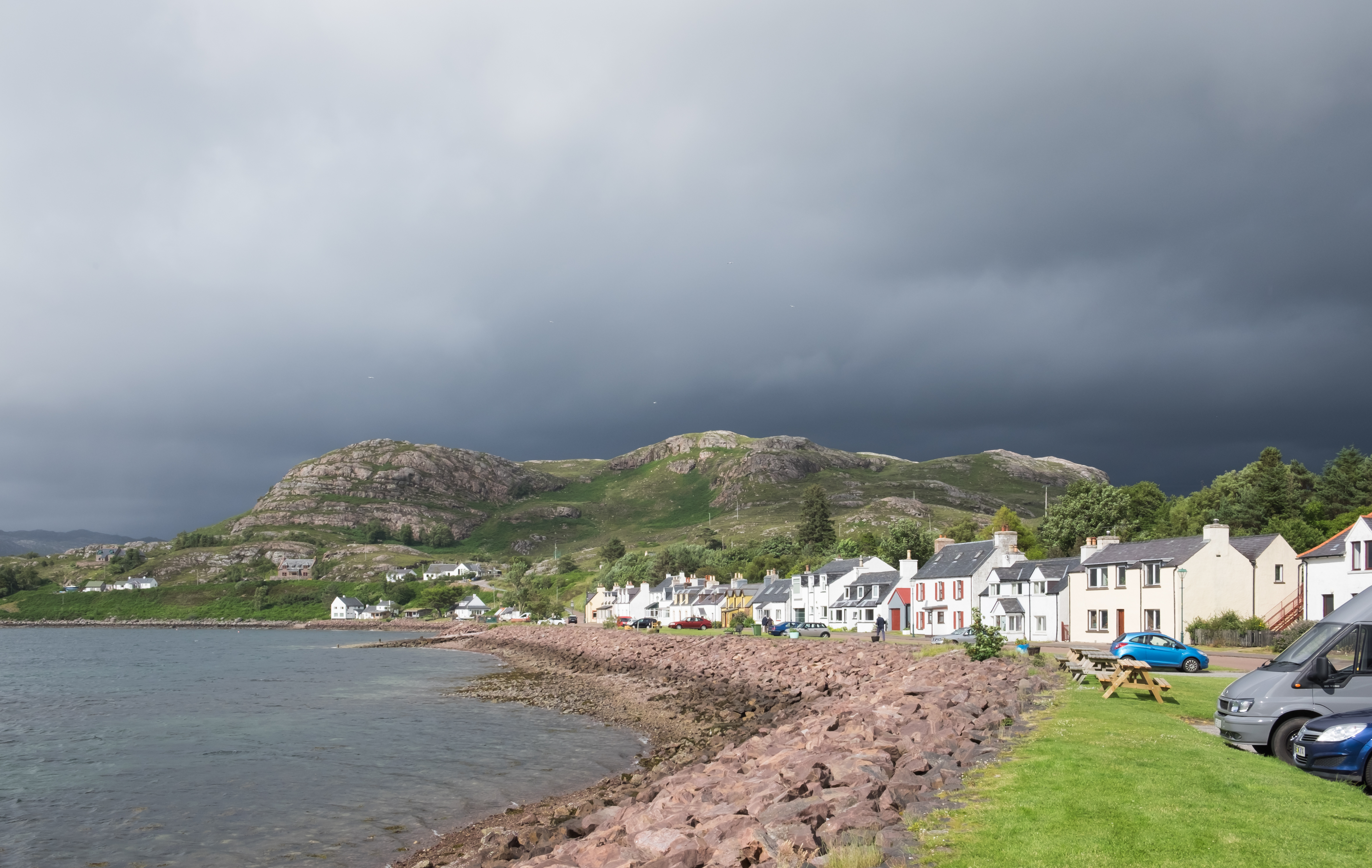
Shieldaig

Shieldaig (Scottish Gaelic: Sìldeag; Old Norse: síld-vík, lit. 'herring bay') is a village in Wester Ross in the Northwest Highlands, in the Scottish council...
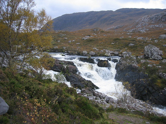
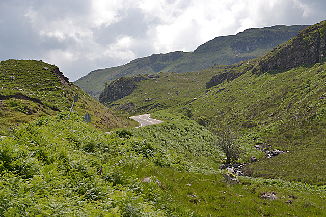
Falls of Balgy

Falls of Balgy is a waterfall near Torridon in Scotland. == See also == Waterfalls of Scotland == References ==

Sgurr a' Gharaidh

Sgurr a' Gharaidh (732 m) is a mountain in the Northwest Highlands of Scotland. It lies in Wester Ross, north of Loch Carron. The mountain is the highest...

Nearby Amenities

Located within 500m of 57.471028,-5.6205682
An Staonach
Corbett: no
Ele: 513
Graham: no
Man Made: cairn
Marilyn: yes
Munro: no
Natural: peak
Prominence: 229
Source: OS7
Lat/Long: 57.4712905/-5.6208595
The data included in this document is from www.openstreetmap.org. The data is made available under ODbL.

Have you been to An Staonach?

Leave your review of An Staonach below (or comments, questions and feedback).