Aonach Pàirc Dhùghaill

Hill, Mountain in Ross-shire

Scotland

Aonach Pàirc Dhùghaill

Cairn on secondary top of Aonach Pairc Dhughaill The view here is towards An Sgurr in the distance.
Cairn on secondary top of Aonach Pairc Dhughaill Credit: Doug Lee

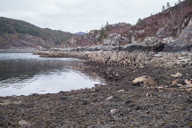
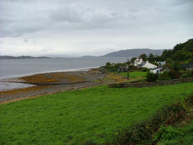
Aonach Pàirc Dhùghaill is a prominent hill located in Ross-shire, Scotland. It is a part of the Northwest Highlands and stands at an elevation of approximately 1,132 meters (3,714 feet). The hill is situated in the remote and rugged countryside, offering breathtaking panoramic views of the surrounding landscape.

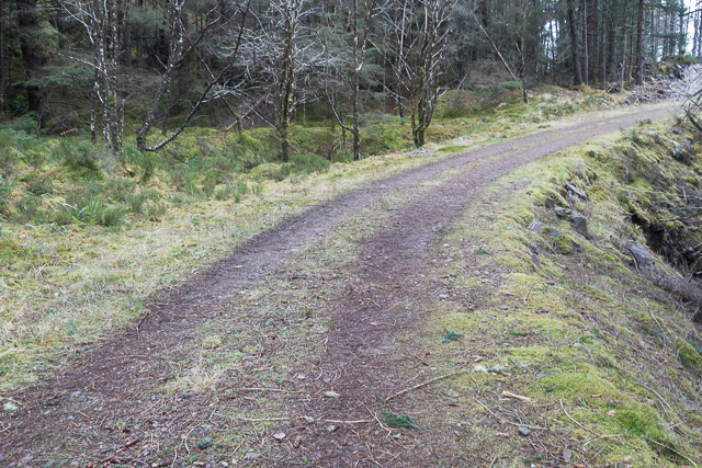
Aonach Pàirc Dhùghaill is renowned for its challenging hiking and mountaineering opportunities. Its steep slopes and rocky terrain attract outdoor enthusiasts from all over the world. The ascent to the summit requires a good level of fitness and experience, as it involves scrambling over loose rocks and navigating narrow ridges.

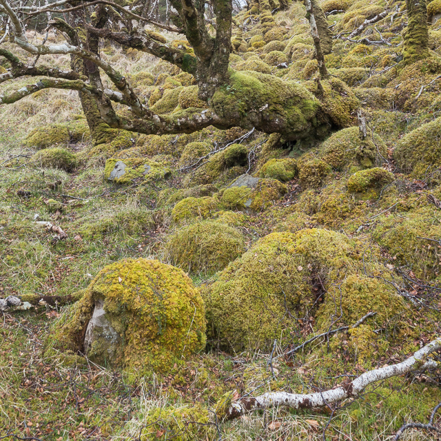
The hill is also home to an abundance of wildlife, including red deer, mountain hares, and various bird species. The diverse ecosystems found on Aonach Pàirc Dhùghaill support a wide range of plant life as well, including heather, moss, and wildflowers.

The summit of Aonach Pàirc Dhùghaill offers breathtaking views of the surrounding Scottish Highlands, including nearby mountains such as An Teallach and Beinn Dearg. On clear days, it is even possible to see the Isle of Skye in the distance.

Due to its remote location, it is recommended that visitors come prepared with appropriate gear, clothing, and provisions. The weather on Aonach Pàirc Dhùghaill can be unpredictable, with strong winds and sudden changes in conditions. It is advisable to check weather forecasts and inform others of your plans before embarking on an adventure to this magnificent hill in Ross-shire.

If you have any feedback on the listing, please let us know in the comments section below.

Aonach Pàirc Dhùghaill Images

Images are sourced within 2km of 57.369296/-5.6121086 or Grid Reference NG8236. Thanks to Geograph Open Source API. All images are credited.

Cairn on secondary top of Aonach Pairc Dhughaill The view here is towards An Sgurr in the distance.
Cairn on secondary top of Aonach Pairc Dhughaill
The view here is towards An Sgurr in the distance.
The edge of Reraig Forest The temperate rainforest provides perfect conditions for moss which covers almost every surface.
The edge of Reraig Forest
The temperate rainforest provides perfect conditions for moss which covers almost every surface.
Moss covered rocks and trees at the edge of Reraig Forest The wet and undisturbed conditions within the forest provide the perfect conditions for moss - and it grows everywhere
Moss covered rocks and trees at the edge of Reraig Forest
The wet and undisturbed conditions within the forest provide the perfect conditions for moss - and it grows everywhere
Within Reraig Forest Reraig Forest was planted in 1913.  At various places within the forest you can find evidence of pre-forest structures such as the partially standing wall shown in this photo.  All such walls are thoroughly covered by moss which has prospered in the still, damp conditions within the forest.

The local estate run guided tours of some of the forest, as we found when chatting to the gamekeeper at the end of the day. Anyone wanting to view the interior of the forest would be well advised to go on such a tour unless you are very sure of your ability to navigate in very dense wooded areas.  We're pretty good in such conditions but even so ended up with a somewhat suboptimal route through the trees with a couple of steep sections which might be a little off-putting to some people.
Within Reraig Forest
Reraig Forest was planted in 1913. At various places within the forest you can find evidence of pre-forest structures such as the partially standing wall shown in this photo. All such walls are thoroughly covered by moss which has prospered in the still, damp conditions within the forest. The local estate run guided tours of some of the forest, as we found when chatting to the gamekeeper at the end of the day. Anyone wanting to view the interior of the forest would be well advised to go on such a tour unless you are very sure of your ability to navigate in very dense wooded areas. We're pretty good in such conditions but even so ended up with a somewhat suboptimal route through the trees with a couple of steep sections which might be a little off-putting to some people.
Hillside within Reraig Forest The forest was planted in 1913.  Other than the infrequently used tracks marked on the OS maps there are no paths through the forest.
Hillside within Reraig Forest
The forest was planted in 1913. Other than the infrequently used tracks marked on the OS maps there are no paths through the forest.
Track in Reraig Forest
The Reraig Burn
The Reraig Burn
Shoreline at Ardaneaskan
Coast at Rubha Thollaidh
View out to Loch Reraig
Reraig Bay
Reraig Bay
Forestry track towards Achintaid
Curve in the forestry track
Forestry track
Forestry track
Track down to the fishfarm depot at Ruinsole Loch Kishorn just visible through the trees.
Track down to the fishfarm depot at Ruinsole
Loch Kishorn just visible through the trees.
The track to Camasdoun
Show me another place!

Aonach Pàirc Dhùghaill is located at Grid Ref: NG8236 (Lat: 57.369296, Lng: -5.6121086)

Unitary Authority: Highland

Police Authority: Highlands and Islands

What 3 Words

///unloading.chucks.upon. Near Lochcarron, Highland

Nearby Locations

Aonach Pàirc Dhùghaill

Related Wikis

Ardaneaskan

Ardaneaskan (Scottish Gaelic: Àird nan Easgann) is a village on the north shore of Loch Carron in Strathcarron, Ross-shire, in Highland, and is within...

Achintraid

Achintraid (Scottish Gaelic: Achadh na Tràghad) is a small one-time crofting township, situated at the north-eastern end of the sea loch Loch Kishorn,...

Loch Kishorn

Loch Kishorn (Scottish Gaelic: Ciseòrn) is a sea loch in the north-west Highlands of Scotland. Kishorn is a collective name used to refer to a group of...

Ardarroch

Ardarroch is a small hamlet, located in what is commonly known as the Kishorn area, on the north east shore of Loch Kishorn, within the Strathcarron...

Nearby Amenities

Located within 500m of 57.369296,-5.6121086
Source: PGS
Lat/Long: 57.3650852/-5.6142291
Source: PGS
Lat/Long: 57.3651382/-5.6113477
Source: PGS
Lat/Long: 57.365061/-5.6109628
Created By: almien_coastlines
Source: PGS
Lat/Long: 57.364986/-5.610713
The data included in this document is from www.openstreetmap.org. The data is made available under ODbL.

Have you been to Aonach Pàirc Dhùghaill?

Leave your review of Aonach Pàirc Dhùghaill below (or comments, questions and feedback).