Green, High
Settlement in Norfolk South Norfolk
England
Green, High
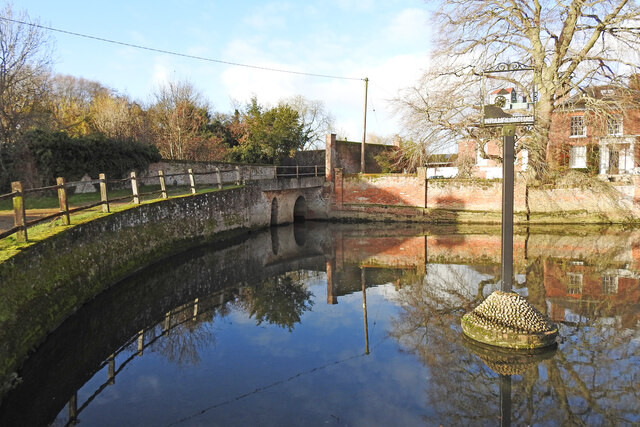
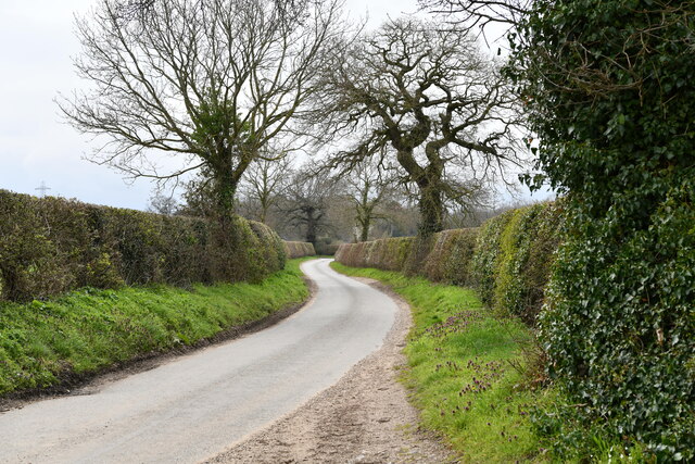
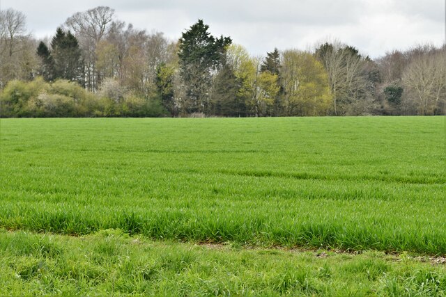
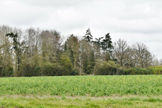
Green, High is a small village located in Norfolk, England. Situated in the eastern part of the county, it is part of the broader Norfolk Broads area, known for its picturesque landscapes and natural beauty. The village is nestled amidst lush green fields and is surrounded by serene countryside.
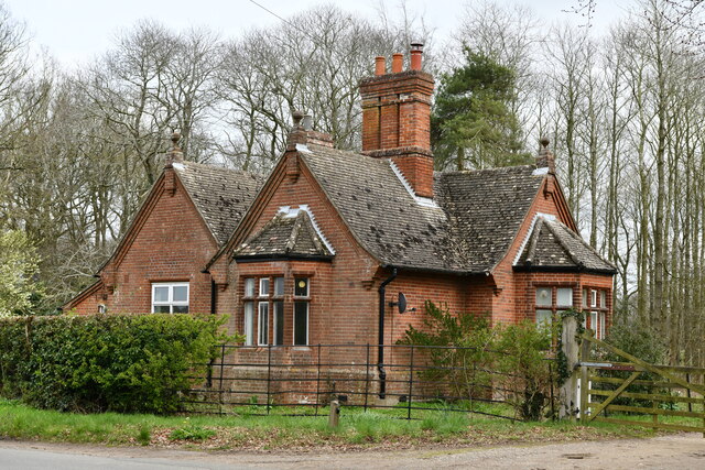
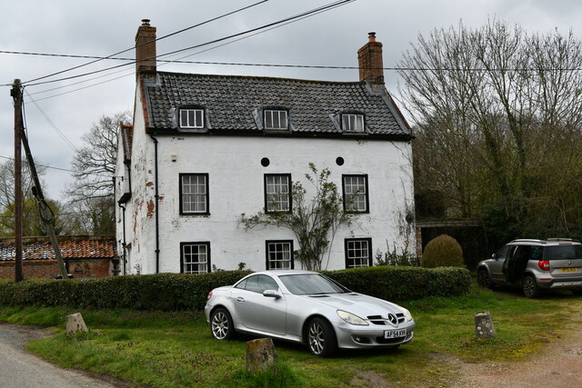
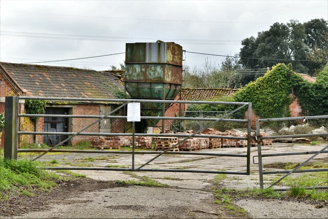
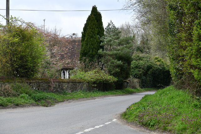
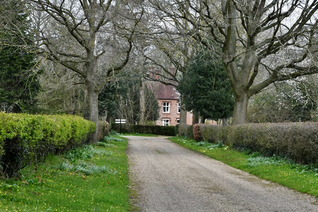
Green, High is a close-knit community characterized by its tranquility and a strong sense of community spirit. The village is sparsely populated, with a handful of charming cottages and traditional houses dotting the area. The architecture in Green, High is predominantly in the traditional Norfolk style, with red-brick exteriors and thatched roofs, adding to the village's quaint and idyllic charm.
The village boasts a number of amenities and facilities for its residents, including a local pub, a village hall, and a small primary school. The pub serves as a social hub, offering a cozy atmosphere and a place for residents to gather and socialize. The village hall hosts various community events, such as craft fairs, village meetings, and celebrations.
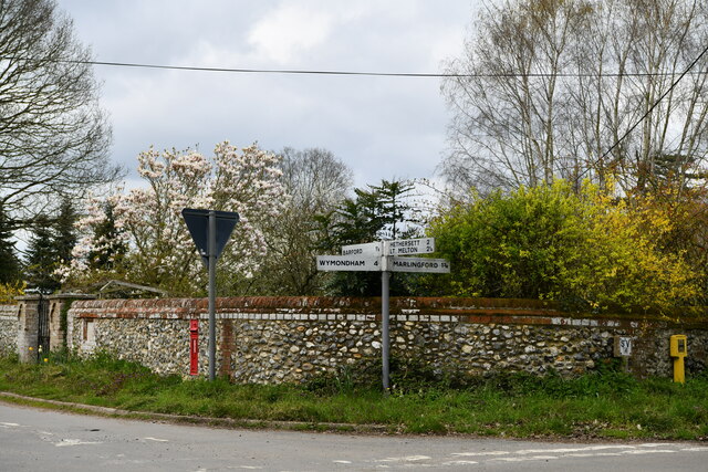
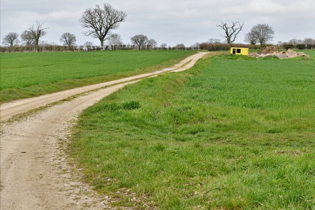
The surrounding countryside provides ample opportunities for outdoor activities and exploration. Residents and visitors can take leisurely walks along the nearby footpaths, enjoying the stunning views of the Norfolk Broads and the meandering rivers. The village is also well-connected to the broader Norfolk region, with good transport links to nearby towns and cities.
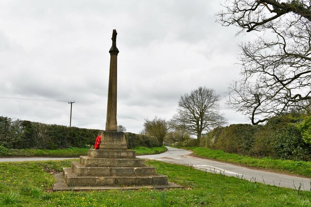
Overall, Green, High is a peaceful and picturesque village that offers a tranquil retreat from the hustle and bustle of modern life. Its natural beauty, tight-knit community, and convenient location make it an attractive place to live for those seeking a slower pace of life in the heart of Norfolk.
If you have any feedback on the listing, please let us know in the comments section below.
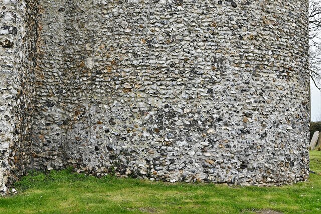
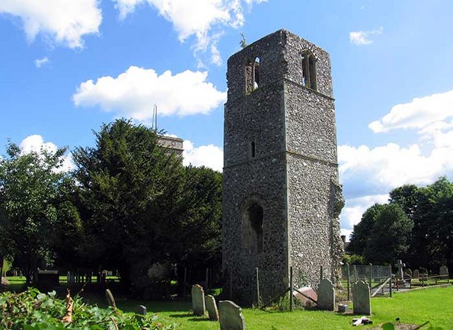
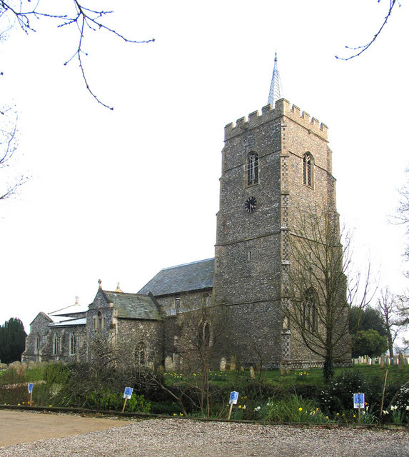
Green, High Images
Images are sourced within 2km of 52.604981/1.145664 or Grid Reference TG1305. Thanks to Geograph Open Source API. All images are credited.

Green, High is located at Grid Ref: TG1305 (Lat: 52.604981, Lng: 1.145664)
Administrative County: Norfolk
District: South Norfolk
Police Authority: Norfolk
What 3 Words
///data.sobbed.covenants. Near Hethersett, Norfolk
Nearby Locations
Related Wikis
Great Melton
Great Melton is a civil parish in the English county of Norfolk. It covers an area of 10.24 km2 (3.95 sq mi) and had a population of 148 in 59 households...

Kett's Oak
Kett's Oak is one of the 50 Great British Trees. The ancient oak tree (Quercus robur) is located at the side of the B1172 road between Wymondham and Hethersett...

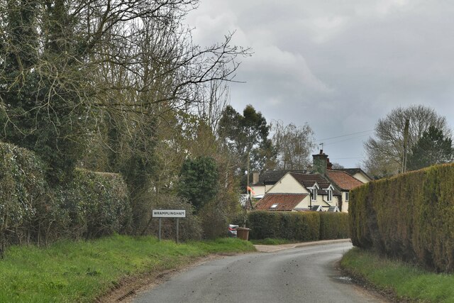
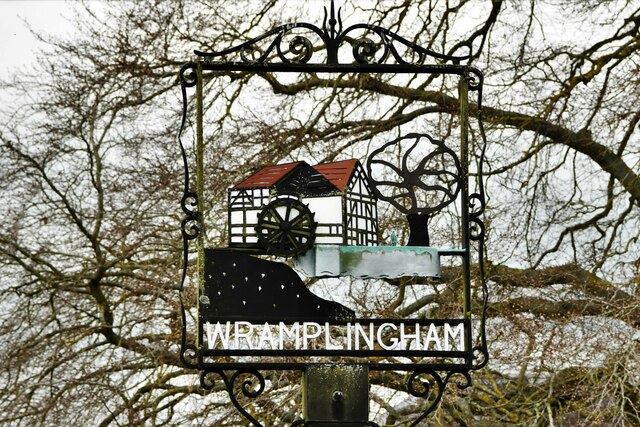
Wramplingham
Wramplingham is a village and civil parish in the English county of Norfolk. It is situated on the River Tiffey some 4 miles (6.4 km) north of Wymondham...
Hethersett
Hethersett is a large village and electoral ward in the county of Norfolk, England, about 6 miles (10 km) south-west of Norwich. It covers an area of 4...

River Tiffey
The River Tiffey is a small river in Norfolk, England and a tributary of the River Yare. It rises near Hethel and passes through Wymondham before flowing...

Hethersett Old Hall School
Hethersett Old Hall School was an independent school located in Hethersett, Norfolk, England that educated around 180 boys and girls. It was a day school...

Barford, Norfolk
Barford is a village and civil parish in the English county of Norfolk, situated some 4 miles (6 km) north of Wymondham and 8 miles (13 km) west of Norwich...
Hethersett Academy
Hethersett Academy, previously known as Hethersett High School and Science College, is a coeducational secondary school, part of the Inspiration Trust...
Nearby Amenities
Located within 500m of 52.604981,1.145664Have you been to Green, High?
Leave your review of Green, High below (or comments, questions and feedback).