An Leth-Bheinn
Hill, Mountain in Inverness-shire
Scotland
An Leth-Bheinn
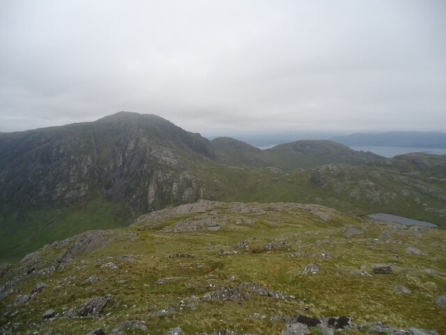
An Leth-Bheinn, located in Inverness-shire, Scotland, is a prominent hill/mountain with a height of 3,000 feet (914 meters). It is part of the Scottish Highlands and lies within the western area of the Cairngorms National Park. The name "An Leth-Bheinn" translates to "The Half Mountain" in Gaelic, referring to its distinctive appearance when viewed from certain angles.
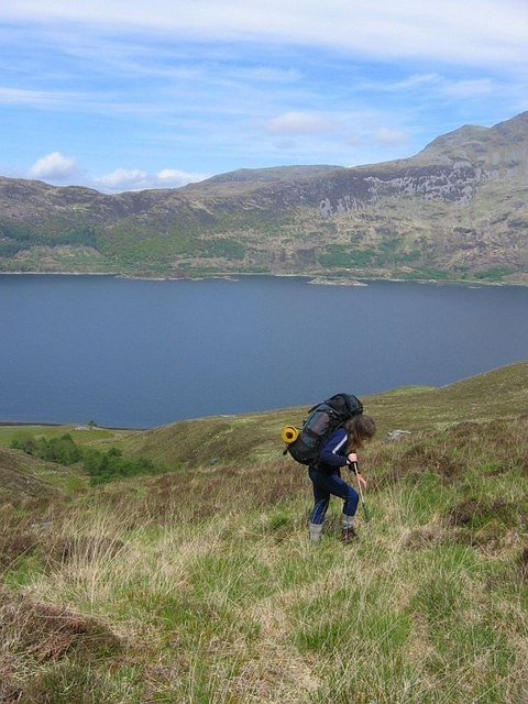
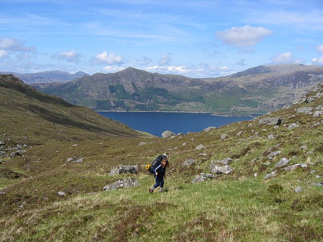
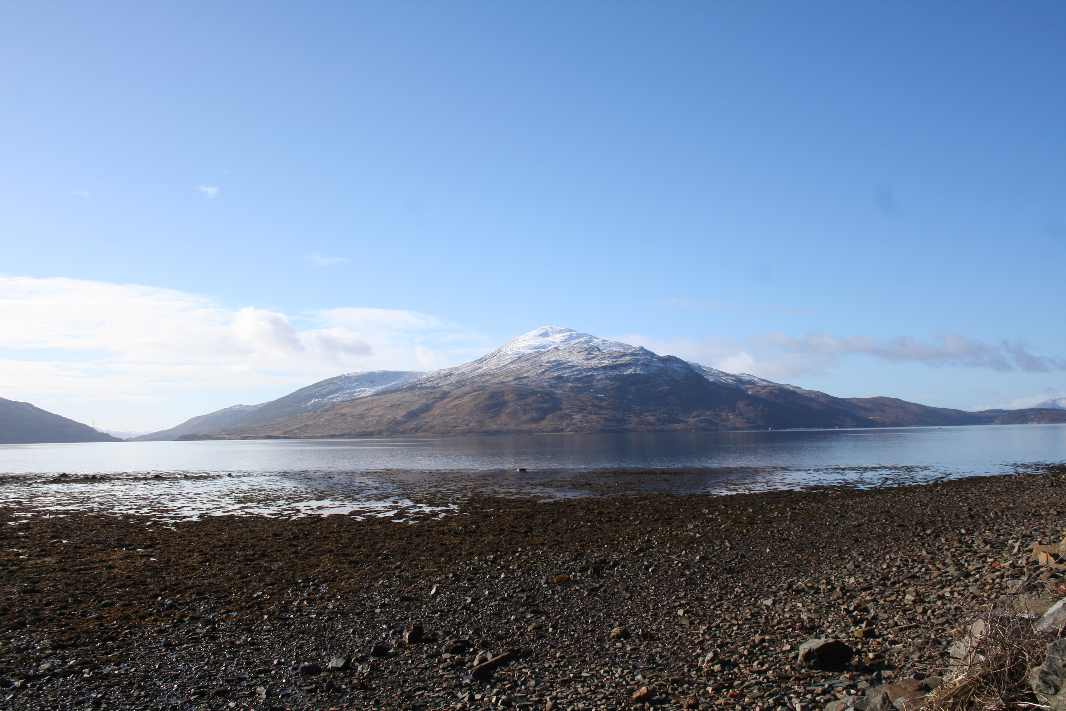
An Leth-Bheinn offers breathtaking views of the surrounding landscape, including the neighboring peaks of the Cairngorms, the Grampian Mountains, and the picturesque Glen Feshie. It is a popular destination for hikers, mountaineers, and nature enthusiasts, as it provides a challenging but rewarding experience.
The terrain of An Leth-Bheinn is characterized by rugged slopes, rocky outcrops, and patches of heather and grass. The ascent to the summit can be steep and demanding, requiring good navigation skills and appropriate equipment. However, the efforts are well worth it, as the panoramic vistas from the top are truly awe-inspiring.
The hill/mountain is home to a variety of wildlife, including red deer, mountain hares, and numerous bird species such as ptarmigan and golden eagles. The surrounding area also boasts diverse flora, with heather, mosses, and lichens dotting the landscape.
Visitors to An Leth-Bheinn are advised to come prepared with suitable clothing, footwear, and provisions as the weather conditions can be unpredictable, even in the summer months. Additionally, it is important to respect the environment and adhere to the Scottish Outdoor Access Code to ensure the preservation of this natural wonder.
If you have any feedback on the listing, please let us know in the comments section below.
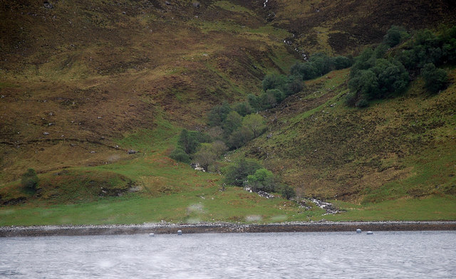
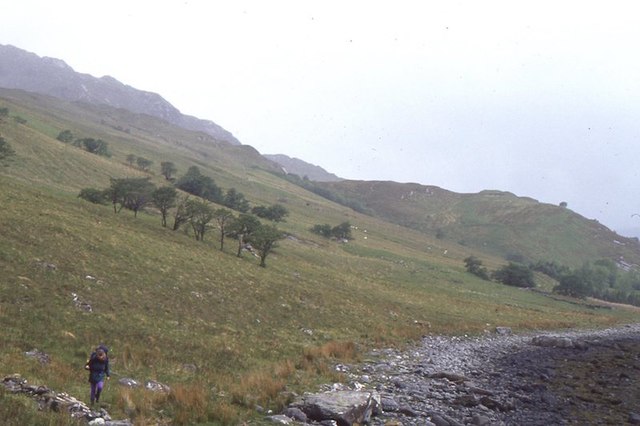
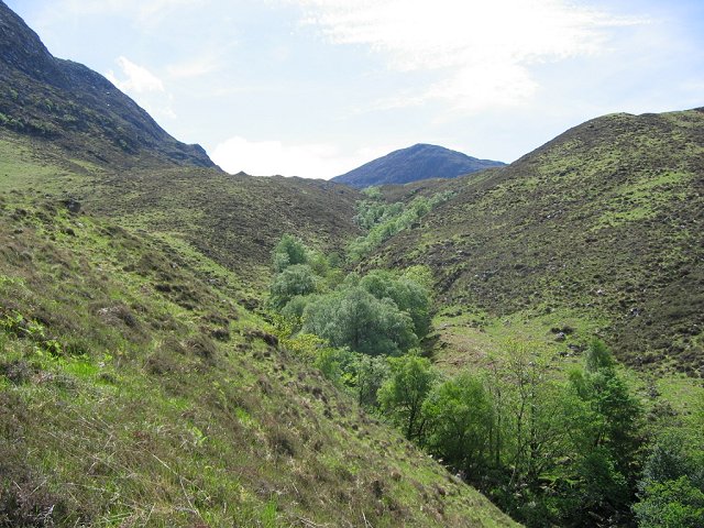
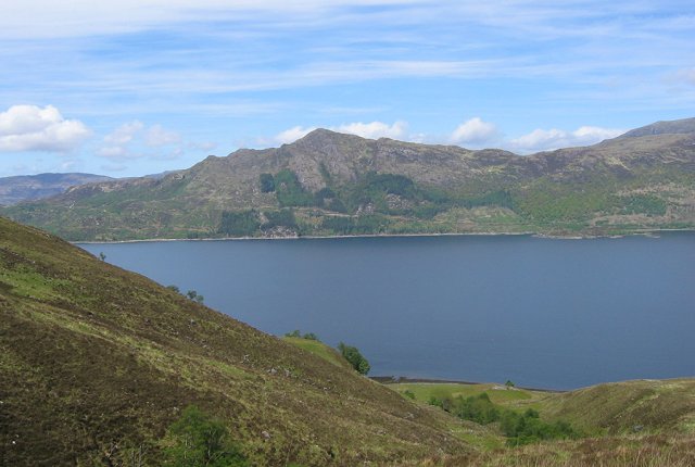
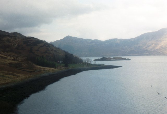
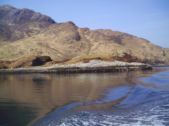
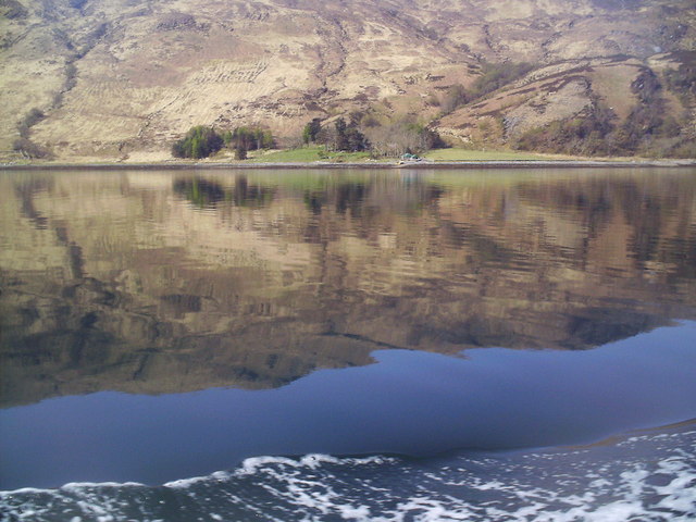
An Leth-Bheinn Images
Images are sourced within 2km of 57.110565/-5.6089547 or Grid Reference NG8107. Thanks to Geograph Open Source API. All images are credited.


An Leth-Bheinn is located at Grid Ref: NG8107 (Lat: 57.110565, Lng: -5.6089547)
Unitary Authority: Highland
Police Authority: Highlands and Islands
What 3 Words
///unimpeded.jokes.trump. Near Glenelg, Highland
Nearby Locations
Related Wikis

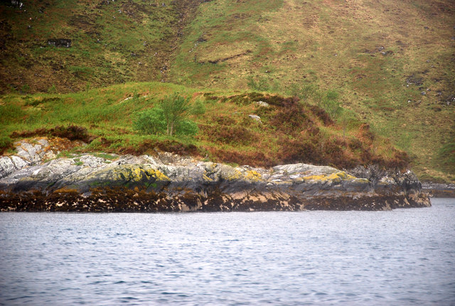
Loch Hourn
Loch Hourn (Scottish Gaelic: Loch Shubhairne) is a sea loch which separates the peninsulas of Glenelg to the north and Knoydart to the south, on the west...
Beinn na Caillich (Knoydart)
Beinn na Caillich (Scottish Gaelic for 'mountain of the old woman or Cailleach') is a mountain with a height of 732 metres (2,402 ft) in Knoydart, in the...

Arnisdale
Arnisdale (Scottish Gaelic: Àrnasdal) is a hamlet in the historic county of Inverness-shire in the local authority area of Highlands of Scotland. It lies...

Arnisdale Free Church
Arnisdale Free Church is a church building at one time connected to the Free Church of Scotland. It is sited in Arnisdale, Inverness-shire, Scotland. According...
Have you been to An Leth-Bheinn?
Leave your review of An Leth-Bheinn below (or comments, questions and feedback).