Àrd Ialltaig

Hill, Mountain in Ross-shire

Scotland

Àrd Ialltaig

Loch Bad a' Chrotha
Loch Bad a' Chrotha Credit: Peter Bond

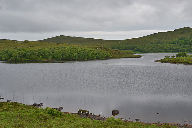
Àrd Ialltaig is a prominent hill located in Ross-shire, Scotland. Situated within the picturesque Scottish Highlands, it boasts an elevation of approximately 2,500 feet (762 meters), making it a notable mountain in the region. The hill is part of the larger Ben Wyvis range, known for its rugged beauty and breathtaking vistas.

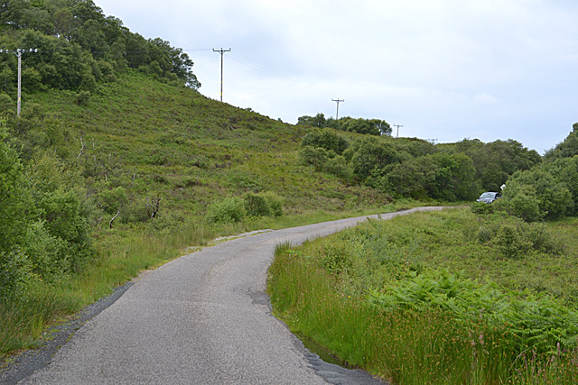
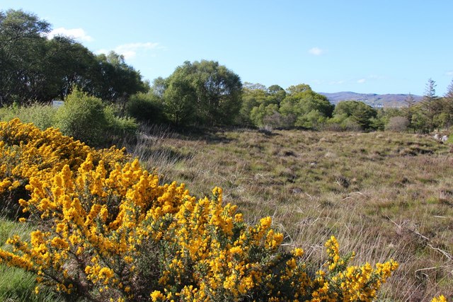
The terrain of Àrd Ialltaig is characterized by a mix of heather moorland, rocky outcrops, and scattered patches of woodland. Its slopes are steep and challenging, making it a popular destination for outdoor enthusiasts and hikers seeking a thrilling adventure. The hill offers a variety of trails and paths that cater to different skill levels, allowing visitors to explore its natural wonders at their own pace.

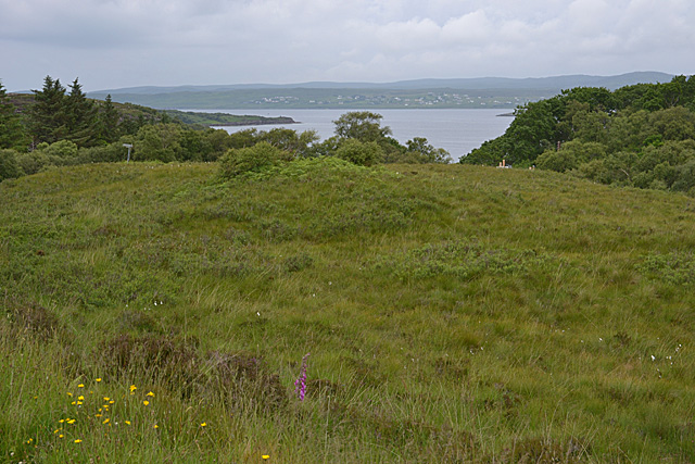
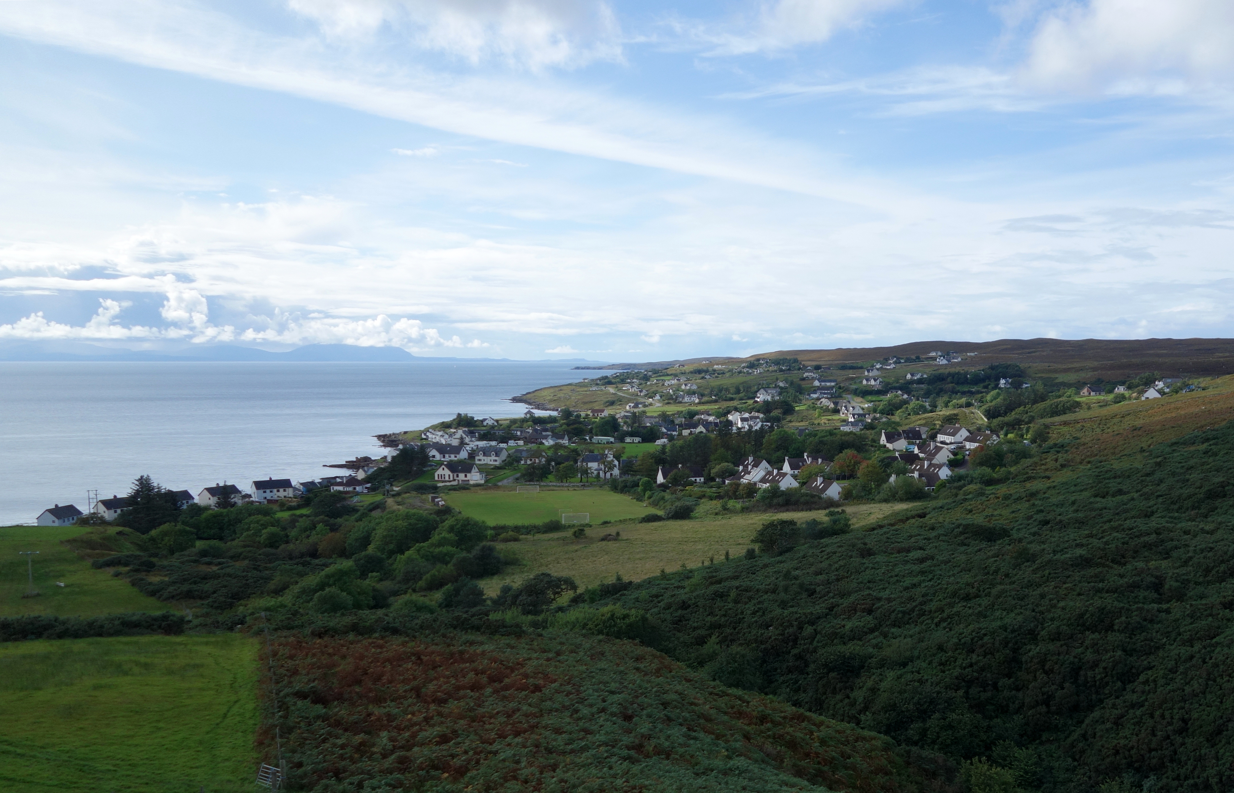
At the summit of Àrd Ialltaig, one can enjoy panoramic views that stretch across the surrounding countryside, including the nearby towns of Garve and Contin. On clear days, it is even possible to catch a glimpse of the stunning Scottish coastlines and distant mountain ranges.

Wildlife enthusiasts will also appreciate the diverse fauna that calls Àrd Ialltaig home. The hill is known to support a variety of bird species, such as golden eagles and peregrine falcons, providing ample opportunities for birdwatching. Additionally, it is not uncommon to encounter red deer and other small mammals as they roam the hillside.

Overall, Àrd Ialltaig offers a truly immersive experience in the scenic Scottish Highlands, with its challenging terrain, stunning vistas, and abundant wildlife, making it a must-visit destination for nature lovers and adventure seekers alike.

If you have any feedback on the listing, please let us know in the comments section below.
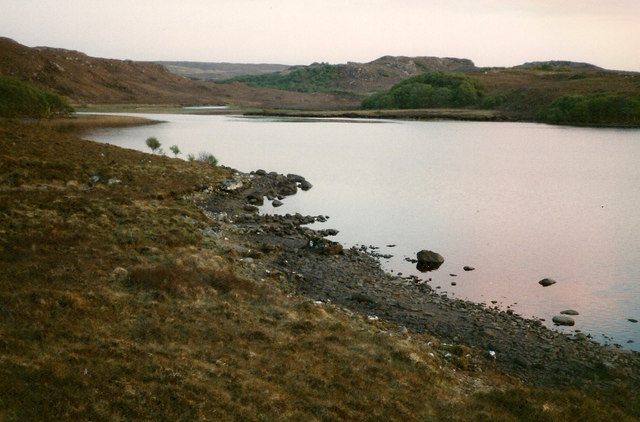
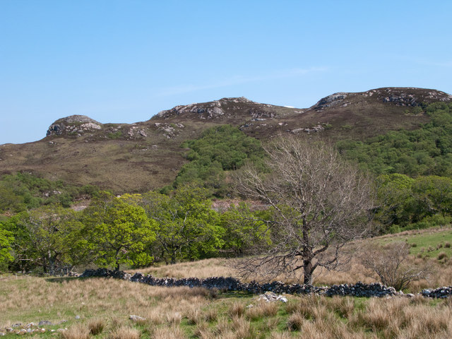
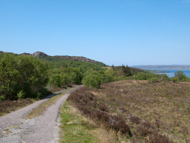
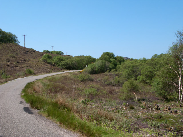
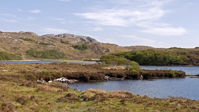
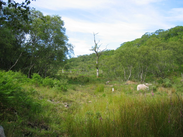
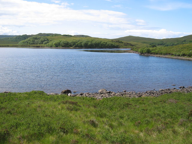
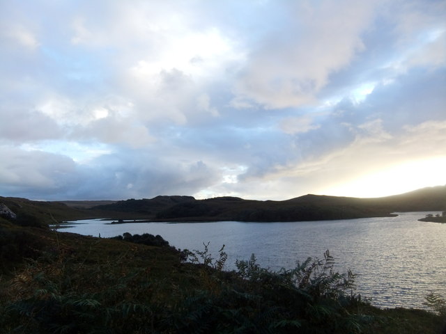
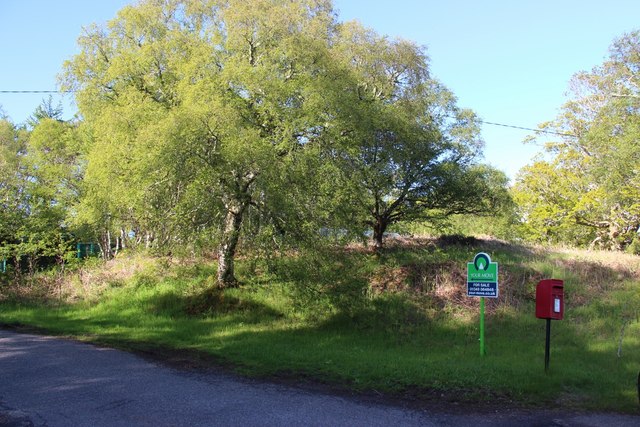
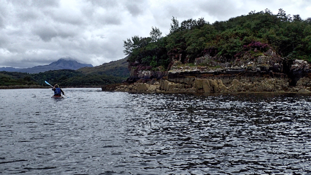
Àrd Ialltaig Images

Images are sourced within 2km of 57.696981/-5.6838119 or Grid Reference NG8073. Thanks to Geograph Open Source API. All images are credited.

Loch Bad a' Chrotha
Loch Bad a' Chrotha
An Torr An Torr is a minor hill rising to just 96m, lying east of the village of Badachro.
An Torr
An Torr is a minor hill rising to just 96m, lying east of the village of Badachro.
Road descending to Camas na h-Airigh The road leaves the B8056 near to Badachro giving access to the few homes above the bay. Loch Gairloch lies in the distance.
Road descending to Camas na h-Airigh
The road leaves the B8056 near to Badachro giving access to the few homes above the bay. Loch Gairloch lies in the distance.
B8056 above Leacnasaide Leacnasaide is a small community above Loch Shieldaig; the B8056 is seen here passing above it on its way to Red Point.
B8056 above Leacnasaide
Leacnasaide is a small community above Loch Shieldaig; the B8056 is seen here passing above it on its way to Red Point.
Loch Bad a' Chròtha Loch Bad a' Chròtha as seen from close to the B8032. A promontory bearing a few trees juts into the water; seen at its base are the remains of ancient trees preserved in peat bog and now exposed again.
Loch Bad a' Chròtha
Loch Bad a' Chròtha as seen from close to the B8032. A promontory bearing a few trees juts into the water; seen at its base are the remains of ancient trees preserved in peat bog and now exposed again.
Woodland above Leacnasaide
Scrubland near Leacnasaide
Loch Bad a' Chrotha
Loch Bad a' Chrotha
Loch Bad a Chrotha
Loch Bad a Chrotha
Loch Bad a' Chròtha Looking directly across the eastern half of the loch.
Loch Bad a' Chròtha
Looking directly across the eastern half of the loch.
The eastern shore of Loch Bad a' Chròtha
The Red Point road west of Shieldaig Single track road with passing places.
The Red Point road west of Shieldaig
Single track road with passing places.
View towards Gairloch Bay Looking over mixed scrub to the bay, and the houses on its north shore.
View towards Gairloch Bay
Looking over mixed scrub to the bay, and the houses on its north shore.
Small island in Loch Bad a' Chròtha Suggestive of a crannog, but probably not.
Small island in Loch Bad a' Chròtha
Suggestive of a crannog, but probably not.
Loch Bad a' Chròtha
Loch Bad a' Chròtha
Scrubland near Leacnasaide
Post box at Leacnasaide
Leac na Saighde
Leac na Saighde
Show me another place!

Àrd Ialltaig is located at Grid Ref: NG8073 (Lat: 57.696981, Lng: -5.6838119)

Unitary Authority: Highland

Police Authority: Highlands and Islands

What 3 Words

///cutlets.softly.crinkled. Near Gairloch, Highland

Related Wikis

Broadford Beds Formation

The Broadford Beds Formation is a Sinemurian geologic formation in western Scotland. An indeterminate partial tibia of a theropod dinosaur are among the...

Charlestown, Wester Ross

Charlestown is a small hamlet, making up one of the settlements which are collectively called Gairloch, and located directly south of the main village...

An Ard

An Ard (Scottish Gaelic: ) is a collection of small settlements on the A832 road, close to Charlestown, in Gairloch, Ross-shire, on the east shore of Gair...

Eilean Horrisdale

Eilean Horrisdale is an uninhabited island in Loch Gairloch in Wester Ross, Scotland. == Geography == Eilean Horrisdale is the largest island in Loch Gairloch...

Fairy Lochs

The Fairy Lochs is a recent English name for Na Lochan Sgeireach and are a small group of freshwater lochans approximately 2 mi (3.2 km) south-east of...

Badachro

Badachro (Scottish Gaelic: Bad a' Chrò) is a former fishing village, in the northwest Highlands of Scotland. == Geography == Badachro sits about 3 km south...

Loch Bràigh Horrisdale

Loch Bràigh Horrisdale is a small, irregular shaped, freshwater loch in Wester Ross, in the north west of Scotland. The loch lies approximately 2 mi (3...

Gairloch

Gairloch ( GAIR-lokh; Scottish Gaelic: Geàrrloch [ˈkʲaːrˠl̪ˠɔx], meaning "Short Loch") is a village, civil parish and community on the shores of Loch Gairloch...

Nearby Amenities

Located within 500m of 57.696981,-5.6838119
Source: PGS
Lat/Long: 57.6995021/-5.6770605
Source: PGS
Lat/Long: 57.6992754/-5.6777552
Created By: almien_coastlines
Source: PGS
Lat/Long: 57.69921/-5.678738
Source: PGS
Lat/Long: 57.6946321/-5.6906358
Source: PGS
Lat/Long: 57.6947804/-5.6908918
Source: PGS
Lat/Long: 57.695223/-5.6911002
Created By: almien_coastlines
Source: PGS
Lat/Long: 57.695362/-5.691131
Source: PGS
Lat/Long: 57.6954728/-5.6910447
Source: PGS
Lat/Long: 57.6956171/-5.6909308
Source: PGS
Lat/Long: 57.695687/-5.6907925
Source: PGS
Lat/Long: 57.6959426/-5.6901365
Source: PGS
Lat/Long: 57.6959618/-5.6896085
Source: PGS
Lat/Long: 57.6956576/-5.689903
Source: PGS
Lat/Long: 57.6954125/-5.6898696
Source: PGS
Lat/Long: 57.6952043/-5.6897409
Source: PGS
Lat/Long: 57.6949398/-5.6896627
Source: PGS
Lat/Long: 57.6945947/-5.6903778
Source: PGS
Lat/Long: 57.6933824/-5.6884801
Source: PGS
Lat/Long: 57.6931841/-5.6882403
Source: PGS
Lat/Long: 57.6931866/-5.6872943
Source: PGS
Lat/Long: 57.6931904/-5.6869438
Source: PGS
Lat/Long: 57.6930586/-5.6863042
Source: PGS
Lat/Long: 57.6999573/-5.6795973
Source: PGS
Lat/Long: 57.6999772/-5.6804428
Source: PGS
Lat/Long: 57.7005243/-5.6814348
Source: PGS
Lat/Long: 57.7006852/-5.6818644
Source: PGS
Lat/Long: 57.7009941/-5.6824017
Source: PGS
Lat/Long: 57.7008381/-5.6830093
Source: PGS
Lat/Long: 57.7007067/-5.6835392
Source: PGS
Lat/Long: 57.7003115/-5.6843617
Source: PGS
Lat/Long: 57.7000778/-5.6847749
Created By: almien_coastlines
Source: PGS
Lat/Long: 57.699973/-5.685014
Source: PGS
Lat/Long: 57.6997621/-5.6855211
Source: PGS
Lat/Long: 57.699643/-5.6857674
Created By: almien_coastlines
Source: PGS
Lat/Long: 57.69957/-5.685941
Source: PGS
Lat/Long: 57.6992925/-5.6876841
Source: PGS
Lat/Long: 57.6990822/-5.6879039
Source: PGS
Lat/Long: 57.6989648/-5.687865
Created By: almien_coastlines
Source: PGS
Lat/Long: 57.698889/-5.687804
Created By: almien_coastlines
Source: PGS
Lat/Long: 57.698767/-5.687556
Source: PGS
Lat/Long: 57.6981716/-5.6876684
Source: PGS
Lat/Long: 57.6978083/-5.6873682
Source: PGS
Lat/Long: 57.6976096/-5.6874244
Source: PGS
Lat/Long: 57.6971808/-5.6872776
Created By: almien_coastlines
Source: PGS
Lat/Long: 57.69711/-5.687194
Source: PGS
Lat/Long: 57.696987/-5.6871265
Source: PGS
Lat/Long: 57.6963574/-5.6865212
Source: PGS
Lat/Long: 57.6953794/-5.6853771
Source: PGS
Lat/Long: 57.6952202/-5.6850905
Source: PGS
Lat/Long: 57.6952454/-5.6843496
Source: PGS
Lat/Long: 57.6951757/-5.6842004
Source: PGS
Lat/Long: 57.6948306/-5.6836732
Source: PGS
Lat/Long: 57.6947075/-5.683227
Source: PGS
Lat/Long: 57.6944318/-5.6830524
Source: PGS
Lat/Long: 57.6939753/-5.6823747
Source: PGS
Lat/Long: 57.6937597/-5.6818684
Source: PGS
Lat/Long: 57.6935805/-5.6815143
Created By: almien_coastlines
Source: PGS
Lat/Long: 57.69314/-5.68116
Created By: almien_coastlines
Source: PGS
Lat/Long: 57.693017/-5.680912
The data included in this document is from www.openstreetmap.org. The data is made available under ODbL.

Have you been to Àrd Ialltaig?

Leave your review of Àrd Ialltaig below (or comments, questions and feedback).