An Creachan

Hill, Mountain in Argyllshire

Scotland

An Creachan

The B8024 heading for Achahoish
The B8024 heading for Achahoish Credit: David Purchase

An Creachan is a prominent hill located in Argyllshire, Scotland. Standing at an elevation of 698 meters (2,290 feet), it offers breathtaking panoramic views of the surrounding area. The hill is part of the Grampian Mountains, which span across the Scottish Highlands.

An Creachan is known for its rugged and rocky terrain, making it a popular destination for hikers and mountaineers. The ascent to the summit can be challenging, but the rewarding vistas make it a worthwhile endeavor. From the top, visitors can enjoy sweeping views of Loch Etive, a stunning sea loch that stretches for approximately 31 kilometers (19 miles).

The hill is also home to a variety of wildlife, including red deer, golden eagles, and mountain hares. Nature enthusiasts can often spot these creatures while exploring the area, adding to the allure of An Creachan.

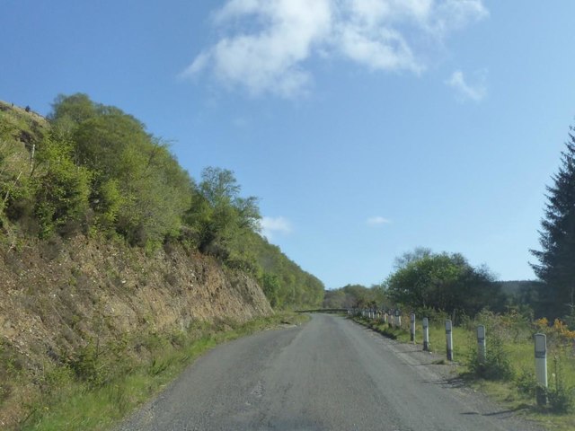
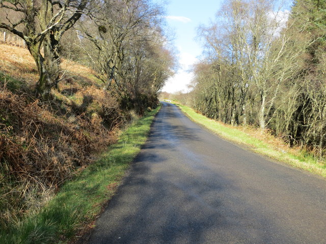
The hill is easily accessible from the nearby village of Taynuilt, which is approximately a 30-minute drive away. There are several hiking trails that lead to the summit, ranging in difficulty to accommodate different skill levels. It is advised to come prepared with proper hiking gear, as the weather conditions can be unpredictable, especially at higher altitudes.

Overall, An Creachan offers a fulfilling outdoor experience for those seeking to immerse themselves in the natural beauty of Argyllshire. With its stunning views, diverse wildlife, and challenging terrain, it is a must-visit destination for outdoor enthusiasts and nature lovers alike.

If you have any feedback on the listing, please let us know in the comments section below.

An Creachan Images

Images are sourced within 2km of 55.932683/-5.5158401 or Grid Reference NR8076. Thanks to Geograph Open Source API. All images are credited.

The B8024 heading for Achahoish
Allt Dearg Wind Farm
Allt Dearg Community Wind Farm The roads on this site are very well sign-posted.
<span class="nowrap"><a title="https://www.lochfynewindfarms.com/" rel="nofollow ugc noopener" href="https://www.lochfynewindfarms.com/">Link</a><img style="margin-left:2px;" alt="External link" title="External link - shift click to open in new window" src="https://s1.geograph.org.uk/img/external.png" width="10" height="10"/></span>
Allt Dearg Community Wind Farm
The roads on this site are very well sign-posted. LinkExternal link
Allt Dearg Community Wind Farm For more information, see <span class="nowrap"><a title="https://www.lochfynewindfarms.com/" rel="nofollow ugc noopener" href="https://www.lochfynewindfarms.com/">Link</a><img style="margin-left:2px;" alt="External link" title="External link - shift click to open in new window" src="https://s1.geograph.org.uk/img/external.png" width="10" height="10"/></span>
Allt Dearg Community Wind Farm
For more information, see LinkExternal link
Loch Fuar-Bheinne Viewed from the access roads at the Allt Dearg Community Wind Farm.
Loch Fuar-Bheinne
Viewed from the access roads at the Allt Dearg Community Wind Farm.
Allt na Srath Bridug Forestry mosaic on the Ormsary estate.
Allt na Srath Bridug
Forestry mosaic on the Ormsary estate.
Allt Dearg Community Wind Farm For more information, see <span class="nowrap"><a title="https://www.lochfynewindfarms.com/" rel="nofollow ugc noopener" href="https://www.lochfynewindfarms.com/">Link</a><img style="margin-left:2px;" alt="External link" title="External link - shift click to open in new window" src="https://s1.geograph.org.uk/img/external.png" width="10" height="10"/></span>
Allt Dearg Community Wind Farm
For more information, see LinkExternal link
Track to Ormsary This track runs down from the Allt Dearg wind farm to Ormsary.
Track to Ormsary
This track runs down from the Allt Dearg wind farm to Ormsary.
The hill track to Ormsary The Isle of Jura in the distance across the Sound of Jura.
The hill track to Ormsary
The Isle of Jura in the distance across the Sound of Jura.
Moorland north of Stob Odhar Viewed from the hill track from the Allt Dearg wind farm to Ormsary.
Moorland north of Stob Odhar
Viewed from the hill track from the Allt Dearg wind farm to Ormsary.
Hill track to Allt Dearg wind farm This is the track that runs up from Ormsary.
Hill track to Allt Dearg wind farm
This is the track that runs up from Ormsary.
Cairn on Cruach a' Phubuill Now the site of the Allt Dearg Community Wind Farm.
Cairn on Cruach a' Phubuill
Now the site of the Allt Dearg Community Wind Farm.
Allt Dearg Community Wind Farm Loch Fyne in the distance.
For more information, see <span class="nowrap"><a title="https://www.lochfynewindfarms.com/" rel="nofollow ugc noopener" href="https://www.lochfynewindfarms.com/">Link</a><img style="margin-left:2px;" alt="External link" title="External link - shift click to open in new window" src="https://s1.geograph.org.uk/img/external.png" width="10" height="10"/></span>
Allt Dearg Community Wind Farm
Loch Fyne in the distance. For more information, see LinkExternal link
B8024 at Bruach na Claigionnach
Road (B8024) near to Bruach na Claigionnach Looking north-eastward.
Road (B8024) near to Bruach na Claigionnach
Looking north-eastward.
Show me another place!

An Creachan is located at Grid Ref: NR8076 (Lat: 55.932683, Lng: -5.5158401)

Unitary Authority: Argyll and Bute

Police Authority: Argyll and West Dunbartonshire

What 3 Words

///grading.working.inversion. Near Tarbert, Argyll & Bute

Nearby Locations

An Creachan

Related Wikis

Achahoish

Achahoish (Scottish Gaelic: Achadh a’ Chòis) is a village on the west coast of Knapdale in the Scottish council area of Argyll and Bute. In 1882, Wilson...
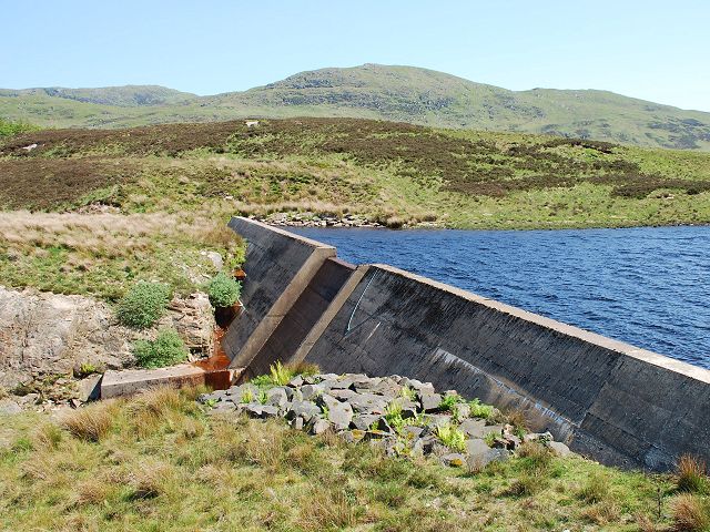
Loch A' Chaorainn

Loch A' Chaorainn (Loch of the Rowan) is an impounding reservoir which lies 9 kilometres (5.6 mi) north west of Tarbert. The concrete dam is 8.2 metres...
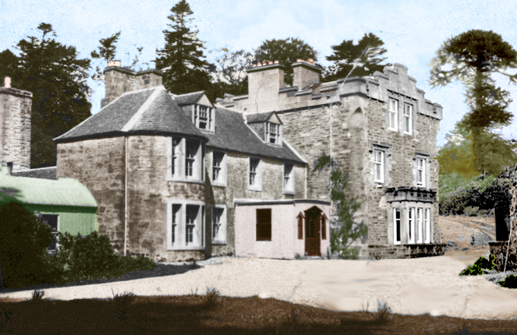
Inverneill House

Inverneill House is a country house in Argyll, western Scotland. It stands on the west shore of Loch Fyne, around 4 miles (6.4 km) south of Lochgilphead...

Ormsary

Ormsary (Scottish Gaelic: Ormsaraidh) is a hamlet in Knapdale, Argyll and Bute, Scotland. == References ==

Baile Boidheach

Baile Boidheach (Scottish Gaelic: Am Baile Bòidheach) is a hamlet in Argyll and Bute, Scotland.

Stonefield Castle

Stonefield Castle is a Scottish baronial manor house near the village of Stonefield, north of Tarbert, Argyll & Bute, Scotland. It was built on the site...

Barmore Island

Barmore Island is a peninsula in Scotland located on the east of Knapdale, in the council area of Argyll and Bute. It is 1 and a half miles north from...

Loch Sween

Loch Sween (Scottish Gaelic: Loch Suain or Loch Suibhne) is a sea loch located near Lochgilphead, Argyll and Bute, Scotland. Castle Sween is located on...

Have you been to An Creachan?

Leave your review of An Creachan below (or comments, questions and feedback).