An Creachan
Hill, Mountain in Argyllshire
Scotland
An Creachan
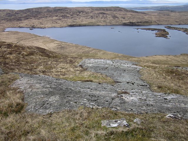
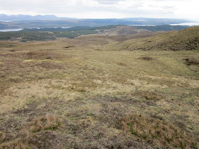
An Creachan is a prominent hill located in Argyllshire, Scotland. It is part of the Cruachan Hills, a range of hills that form a beautiful backdrop to the surrounding landscape. Rising to a height of 1,071 meters (3,514 feet), An Creachan is a popular destination for hikers and mountaineers.
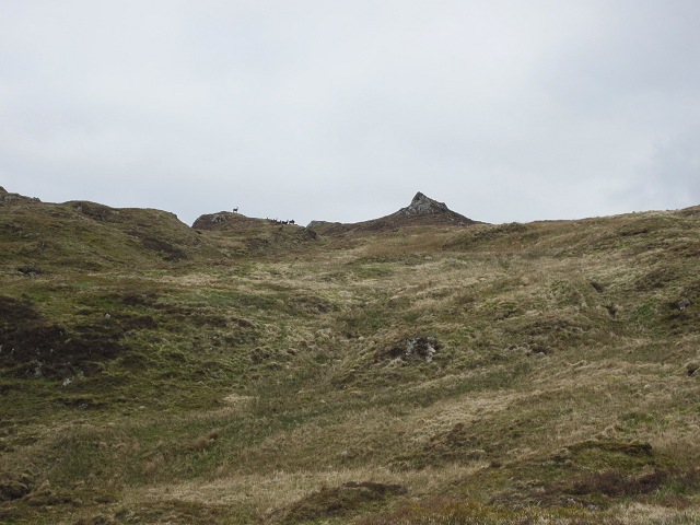
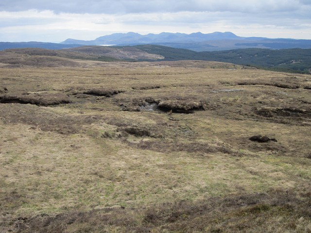
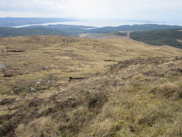
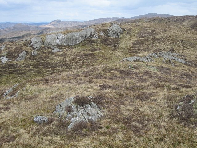
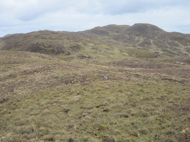
The hill is characterized by its rugged and rocky terrain, with steep inclines and craggy outcrops. Its distinct shape and location make it easily recognizable from miles around. From the summit, breathtaking panoramic views of the surrounding countryside can be enjoyed, including Loch Awe to the east and the peaks of Ben Cruachan and Ben Lui to the north.
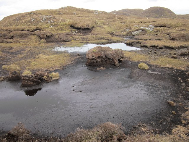
An Creachan is known for its diverse flora and fauna, with a variety of plant species, such as heather and mosses, covering its slopes. The hill is also home to various bird species, including golden eagles and ravens, which can often be spotted circling overhead.
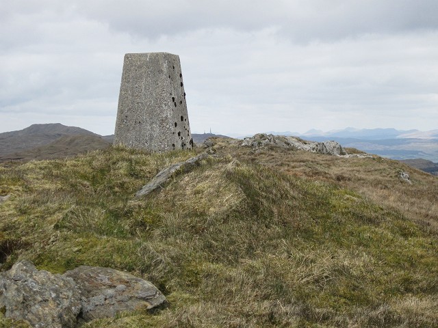
Due to its challenging terrain, An Creachan is best suited for experienced hikers and climbers. There are several routes to reach the summit, with the most popular being from the nearby village of Dalmally. The ascent can be demanding, but the rewarding views and sense of achievement make it well worth the effort.
Overall, An Creachan is a magnificent hill that offers both a physical challenge and a chance to immerse oneself in the stunning natural beauty of Argyllshire.
If you have any feedback on the listing, please let us know in the comments section below.
An Creachan Images
Images are sourced within 2km of 55.864638/-5.5682989 or Grid Reference NR7669. Thanks to Geograph Open Source API. All images are credited.


An Creachan is located at Grid Ref: NR7669 (Lat: 55.864638, Lng: -5.5682989)
Unitary Authority: Argyll and Bute
Police Authority: Argyll and West Dunbartonshire
What 3 Words
///media.nuance.anchovies. Near Tarbert, Argyll & Bute
Nearby Locations
Related Wikis

Baile Boidheach
Baile Boidheach (Scottish Gaelic: Am Baile Bòidheach) is a hamlet in Argyll and Bute, Scotland.
Druimdrishaig
Druimdrishaig is a hamlet in Argyll and Bute, Scotland, on the shore of Loch Caolisport. == References ==
Ormsary
Ormsary (Scottish Gaelic: Ormsaraidh) is a hamlet in Knapdale, Argyll and Bute, Scotland. == References ==
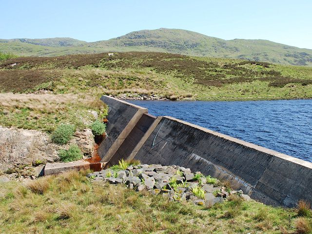
Loch A' Chaorainn
Loch A' Chaorainn (Loch of the Rowan) is an impounding reservoir which lies 9 kilometres (5.6 mi) north west of Tarbert. The concrete dam is 8.2 metres...

Dùn a' Choin Duibh
Dùn a' Choin Duibh (Scottish Gaelic: Fort of the Black Dog) is a hillfort located near Torinturk, Argyll and Bute, Scotland. According to the local shanachies...

Torinturk
Torinturk (Scottish Gaelic: Tòrr an Tuirc) is a village in Argyll and Bute, Scotland. Torinturk is 5 miles (8 km) from Tarbert. Torinturk comes from the...

Kilberry
Kilberry (Scottish Gaelic: Cill Bheiridh) is a village in Argyll and Bute, Scotland. It is close to the western coast of the district of Knapdale. Kilberry...
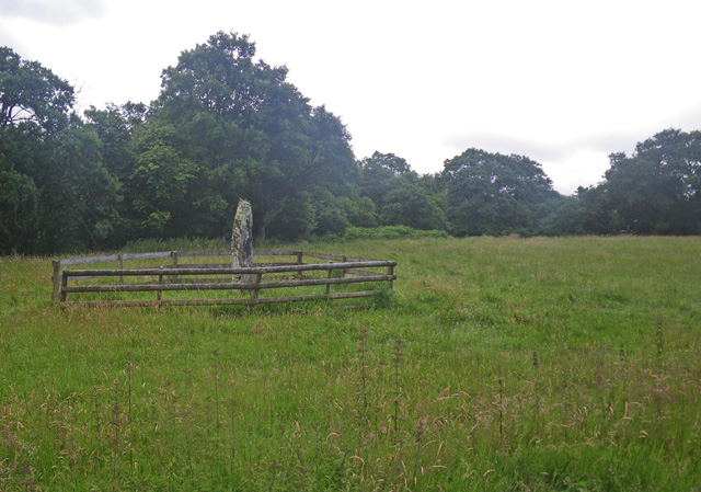
Avinagillan standing stone
The Avinagillan standing stone is a prehistoric menhir on the Kintyre Peninsula of Scotland. The stone is near the hamlet of Avinagillan. == See also... ==
Have you been to An Creachan?
Leave your review of An Creachan below (or comments, questions and feedback).