Airigh Sheileach
Hill, Mountain in Argyllshire
Scotland
Airigh Sheileach
Airigh Sheileach is a hill located in Argyllshire, Scotland. Situated in the beautiful region of Argyll and Bute, it is part of the stunning landscape of the Scottish Highlands. Airigh Sheileach stands at an impressive height of approximately 1,096 feet (334 meters) above sea level, making it a prominent feature in the area.
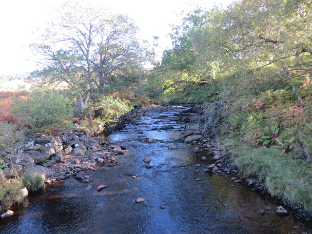
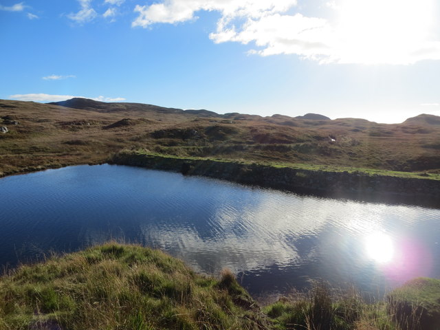
The hill offers breathtaking views of the surrounding countryside, with its picturesque rolling hills, lush green valleys, and sparkling lochs. It is a popular destination for hikers and nature enthusiasts, who are drawn to the area by its stunning natural beauty and tranquility.
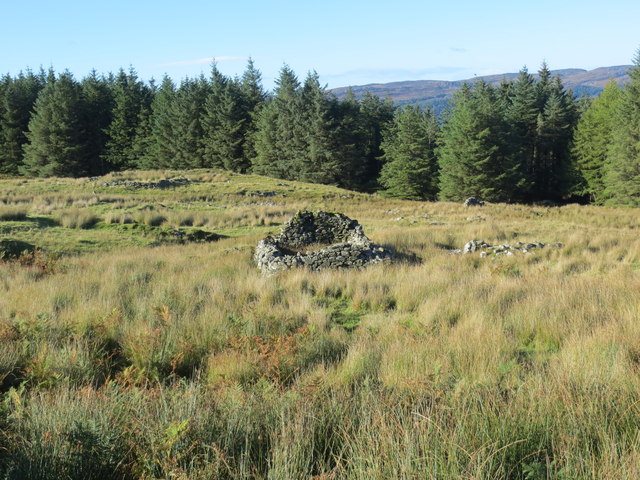
Airigh Sheileach is covered in heather and grass, creating a vibrant and colorful landscape, especially in the summer months when the hill is adorned with purple and green hues. The hill is also home to a variety of wildlife, including birds of prey, deer, and smaller mammals, making it a haven for nature lovers and birdwatchers.
The summit of Airigh Sheileach provides panoramic views of the surrounding mountains, lochs, and glens, offering visitors a truly unforgettable experience. On clear days, it is possible to see as far as the Isle of Jura and the Isle of Mull.
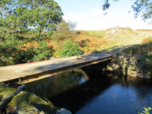
Access to Airigh Sheileach is generally straightforward, with a few well-marked trails leading to the top. However, it is important to note that the weather conditions can change rapidly in the Scottish Highlands, so it is advisable to come prepared with appropriate clothing and equipment.
If you have any feedback on the listing, please let us know in the comments section below.
Airigh Sheileach Images
Images are sourced within 2km of 55.876666/-5.5745695 or Grid Reference NR7670. Thanks to Geograph Open Source API. All images are credited.


Airigh Sheileach is located at Grid Ref: NR7670 (Lat: 55.876666, Lng: -5.5745695)
Unitary Authority: Argyll and Bute
Police Authority: Argyll and West Dunbartonshire
What 3 Words
///rots.ghost.cupboards. Near Tarbert, Argyll & Bute
Nearby Locations
Related Wikis

Baile Boidheach
Baile Boidheach (Scottish Gaelic: Am Baile Bòidheach) is a hamlet in Argyll and Bute, Scotland.
Ormsary
Ormsary (Scottish Gaelic: Ormsaraidh) is a hamlet in Knapdale, Argyll and Bute, Scotland. == References ==
Druimdrishaig
Druimdrishaig is a hamlet in Argyll and Bute, Scotland, on the shore of Loch Caolisport. == References ==
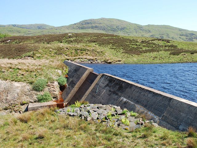
Loch A' Chaorainn
Loch A' Chaorainn (Loch of the Rowan) is an impounding reservoir which lies 9 kilometres (5.6 mi) north west of Tarbert. The concrete dam is 8.2 metres...
Achahoish
Achahoish (Scottish Gaelic: Achadh a’ Chòis) is a village on the west coast of Knapdale in the Scottish council area of Argyll and Bute. In 1882, Wilson...

Dùn a' Choin Duibh
Dùn a' Choin Duibh (Scottish Gaelic: Fort of the Black Dog) is a hillfort located near Torinturk, Argyll and Bute, Scotland. According to the local shanachies...

Kilmory, Knapdale
Kilmory (Scottish Gaelic: Cill Mhoire) is a hamlet in the civil parish of South Knapdale, on Knapdale, Argyll and Bute, Scotland. It is situated near the...

Kilmory Knap Chapel
Kilmory Knap Chapel is a 13th-century Christian chapel, located at the tiny hamlet of Kilmory, in Knapdale, Argyll and Bute, on the west coast of Scotland...
Have you been to Airigh Sheileach?
Leave your review of Airigh Sheileach below (or comments, questions and feedback).