High Easter

Settlement in Essex Uttlesford

England

High Easter

Sunset over Clatterford End
Sunset over Clatterford End Credit: David Howard

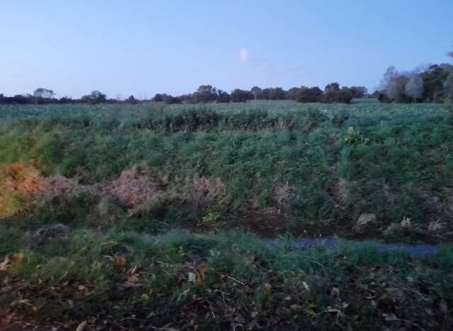
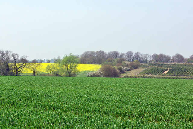
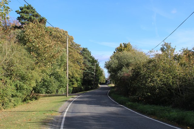
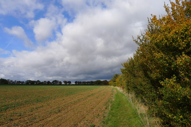
High Easter is a small village located in the county of Essex, in the Eastern region of England. Situated approximately 9 miles from the city of Chelmsford, it falls within the administrative district of Uttlesford. The village is nestled amidst picturesque countryside, with green fields and rolling hills surrounding it.

High Easter is known for its quaint and peaceful atmosphere, making it an ideal place for those seeking a tranquil retreat away from the hustle and bustle of city life. The village itself is characterized by a charming mix of traditional and modern architecture, with a scattering of historic buildings blending seamlessly with newer developments.

The village is home to a close-knit community, with a population of around 500 residents. It boasts a range of amenities, including a village hall, a primary school, a church, a post office, and a local pub. The primary school, known as High Easter Church of England Primary School, provides education for children aged between 4 and 11 years old.

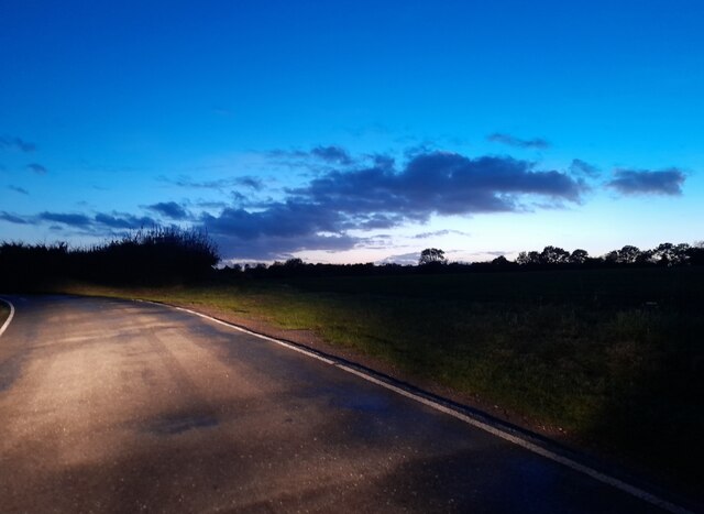
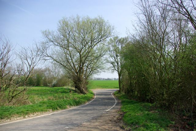
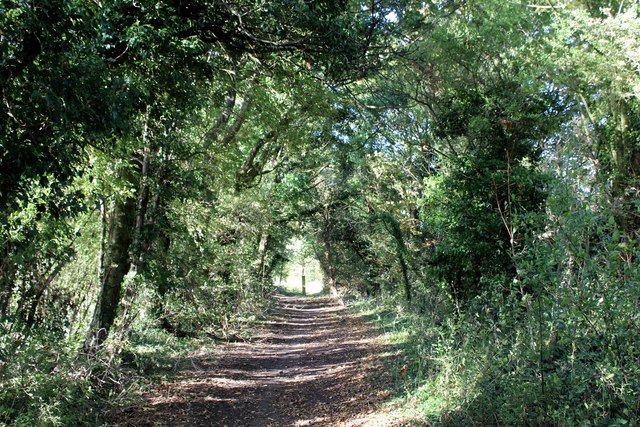
Surrounded by beautiful countryside, High Easter offers ample opportunities for outdoor activities and exploration. It is a popular destination for walkers and cyclists, with numerous scenic routes and trails crisscrossing the surrounding area.

Overall, High Easter is a charming village that offers a peaceful and idyllic setting for both residents and visitors alike. Its natural beauty, community spirit, and range of amenities make it a desirable place to live or visit for those seeking a slower pace of life in the heart of Essex's countryside.

If you have any feedback on the listing, please let us know in the comments section below.

High Easter Images

Images are sourced within 2km of 51.808513/0.352658 or Grid Reference TL6214. Thanks to Geograph Open Source API. All images are credited.

Sunset over Clatterford End
Muddy field near Good Easter
Field by Mill Road, Good Easter
Behind the hedge A rather indirect lane towards Barnston and Dunmow is on the other side.
Behind the hedge
A rather indirect lane towards Barnston and Dunmow is on the other side.
Across the fields to Dobb's Wood
View west over fields The stream in the valley forms the parish boundary between High Easter and High Roding.
View west over fields
The stream in the valley forms the parish boundary between High Easter and High Roding.
Lane to High Roding, Barnston and Dunmow Depending which way you turn at the next junction.
Lane to High Roding, Barnston and Dunmow
Depending which way you turn at the next junction.
Rands Road The road crosses a small stream here, the parish boundary between High Roding and High Easter.
Rands Road
The road crosses a small stream here, the parish boundary between High Roding and High Easter.
Village sign, High Easter
Track between Hedges heading towards Hayron's Lane Track adopted by the Essex Way long distance footpath
Track between Hedges heading towards Hayron's Lane
Track adopted by the Essex Way long distance footpath
Essex Way between Good Easter and Stagden Cross One of the first county long distance footpath devised, tracing its history back to 1971.
It was also the first to make an appearance within the county borders of Essex.
The 81 mile trail starts outside the underground station in Epping, passing through Chipping Ongar, Pleshey, White Notley, Coggeshall, Great Horkesley, Dedham and Manningtree to the High Lighthouse in Harwich.  It runs through the entire county in a rough south west to north east line.
Essex Way between Good Easter and Stagden Cross
One of the first county long distance footpath devised, tracing its history back to 1971. It was also the first to make an appearance within the county borders of Essex. The 81 mile trail starts outside the underground station in Epping, passing through Chipping Ongar, Pleshey, White Notley, Coggeshall, Great Horkesley, Dedham and Manningtree to the High Lighthouse in Harwich. It runs through the entire county in a rough south west to north east line.
Public Footpath heading North towards High Easter
On the Essex Way heading towards Stagden Cross One of the first county long distance footpath devised, tracing its history back to 1971.
It was also the first to make an appearance within the county borders of Essex.
The 81 mile trail starts outside the underground station in Epping, passing through Chipping Ongar, Pleshey, White Notley, Coggeshall, Great Horkesley, Dedham and Manningtree to the High Lighthouse in Harwich.  It runs through the entire county in a rough south west to north east line.
On the Essex Way heading towards Stagden Cross
One of the first county long distance footpath devised, tracing its history back to 1971. It was also the first to make an appearance within the county borders of Essex. The 81 mile trail starts outside the underground station in Epping, passing through Chipping Ongar, Pleshey, White Notley, Coggeshall, Great Horkesley, Dedham and Manningtree to the High Lighthouse in Harwich. It runs through the entire county in a rough south west to north east line.
Stagden Cross Farmhouse Grade II Listed building located on The Street, Stagden Cross.
The intricate brickwork on the chimney stacks, particularly caught my eye.
Stagden Cross Farmhouse
Grade II Listed building located on The Street, Stagden Cross. The intricate brickwork on the chimney stacks, particularly caught my eye.
Essex Way approaching Stagden Cross from the South A green tunnel is formed on this enclose track, adopted by the Essex Way
Essex Way approaching Stagden Cross from the South
A green tunnel is formed on this enclose track, adopted by the Essex Way
The Street heading East away from Stagden Cross The road to Pleshey
The Street heading East away from Stagden Cross
The road to Pleshey
Hedge, grass verge, ploughed field, flat landscape Must be the Essex Way
Hedge, grass verge, ploughed field, flat landscape
Must be the Essex Way
Show me another place!

High Easter is located at Grid Ref: TL6214 (Lat: 51.808513, Lng: 0.352658)

Administrative County: Essex

District: Uttlesford

Police Authority: Essex

What 3 Words

///dweller.affords.poetry. Near Little Dunmow, Essex

Related Wikis

High Easter

High Easter is a village and a civil parish in the Uttlesford district of Essex, England. The village is 7 miles (11 km) northwest from the city of and...

Stagden Cross

Stagden Cross is a hamlet in the civil parish of High Easter, and the Uttlesford district of Essex, England. The hamlet is 1 mile (1.6 km) east from High...

Clatterford End, High Easter

Clatterford End is a hamlet partly in the High Easter civil parish of the Uttlesford district, and partly in the Good Easter parish of the Chelmsford district...

Good Easter

Good Easter is a village and civil parish in the Chelmsford district of Essex, England. The village is 6 miles (10 km) northwest from the city and county...

High Roding

High Roding is a village and civil parish in the Uttlesford district of Essex, England. The village is included in the eight hamlets and villages called...

Aythorpe Roding Windmill

Aythorpe Roding Windmill is a Grade II* listed Post mill at Aythorpe Roding, Essex, England which has been restored to working order. == History == Aythorpe...

Leaden Roding

Leaden Roding is a village and civil parish in the Uttlesford district of Essex, England. The village is included in the eight hamlets and villages called...

Bishop's Green, Essex

Bishop's Green is a hamlet in the civil parish of High Easter in the Uttlesford district of Essex, England. The hamlet is on the road between the villages...

Related Videos

St Mary St Lawrence Church, High Easter, Essex, 2022

St Mary St Lawrence Church, High Easter, Essex, 2022.

Nearby Amenities

Located within 500m of 51.808513,0.352658
Bus Stop
Gepp's Close
Bus: yes
Naptan AtcoCode: 150002033004
Naptan Bearing: E
Naptan BusStopType: CUS
Naptan CommonName: Gepp's Close
Naptan Crossing: Gepp's Close
Naptan Indicator: Adj
Naptan Landmark: Gepp's Close
Naptan NaptanCode: esxawagp
Naptan Street: The Street
Naptan Verified: no
Public Transport: platform
Source: naptan_import
Lat/Long: 51.8086369/0.3567269
Bus Stop
Gepp's Close
Bus: yes
Naptan AtcoCode: 1500020330Y4
Naptan Bearing: W
Naptan BusStopType: CUS
Naptan CommonName: Gepp's Close
Naptan Crossing: Gepp's Close
Naptan Indicator: Opp
Naptan Landmark: Gepp's Close
Naptan NaptanCode: esxgtmtp
Naptan Street: The Street
Naptan Verified: no
Public Transport: platform
Source: naptan_import
Lat/Long: 51.8085294/0.3567068
Bus Stop
The Punch Bowl
Bus: yes
Naptan AtcoCode: 1500DGK010
Naptan Bearing: N
Naptan CommonName: The Punch Bowl
Naptan Crossing: School Lane
Naptan Indicator: o/s
Naptan Landmark: The Punch Bowl
Naptan NaptanCode: esxgmdmp
Naptan Street: The Street
Naptan Verified: no
Public Transport: platform
Source: naptan_import
Lat/Long: 51.8081427/0.3490702
Post Box
Operator: Royal Mail
Operator Wikidata: Q638098
Post Box Design: type_m
Post Box Type: lamp
Royal Cypher: EIIR
Royal Cypher Wikidata: Q33102113
Lat/Long: 51.8084545/0.3519761
Public Bookcase
Booth: K6
Disused Amenity: telephone
Man Made: telephone_box
Public Bookcase Type: phone_box
Lat/Long: 51.808449/0.3519028
High Easter
Is In: Essex, England, UK
Place: village
Lat/Long: 51.8075375/0.3515443
Restaurant
The Punch Bowl
Wikidata: Q26406440
Lat/Long: 51.8080028/0.3490103
Cafe
Snug Cafe
Opening Hours: Mo-Fr 09:00-16:00; Sa-Su 10:00-16:00
Source: survey
Lat/Long: 51.8085489/0.358865
High Easter village sign
Man Made: village_sign
Tourism: artwork
Lat/Long: 51.8082847/0.349229
Bus Stop
The Punch Bowl
Bus: yes
Naptan AtcoCode: 1500IM2162
Naptan BusStopType: CUS
Naptan NaptanCode: esxawagm
Naptan Verified: no
Public Transport: platform
Source: naptan
Lat/Long: 51.8081182/0.3492384
Crossing
Lat/Long: 51.8116752/0.3548227
Man Made: water_well
Pump: manual
Lat/Long: 51.8087992/0.3542597
Advertising: board
Lat/Long: 51.8085333/0.3517083
Leisure: playground
Lat/Long: 51.8080513/0.3572784
Information: guidepost
Tourism: information
Lat/Long: 51.8088661/0.3544442
The data included in this document is from www.openstreetmap.org. The data is made available under ODbL.

Have you been to High Easter?

Leave your review of High Easter below (or comments, questions and feedback).