Aird an Eilein

Hill, Mountain in Inverness-shire

Scotland

Aird an Eilein

Partly wooded slopes of Cruach a Ghaill
Partly wooded slopes of Cruach a Ghaill Credit: Steven Brown

Aird an Eilein is a prominent hill located in the county of Inverness-shire, Scotland. Rising to an elevation of approximately 420 meters (1,378 feet), this mountain is situated in the western part of the county, near the village of Newtonmore.

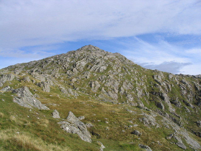
The hill is characterized by its distinctive conical shape, making it easily recognizable in the surrounding landscape. It is predominantly composed of granite, which contributes to its rugged and rocky terrain. Aird an Eilein is part of the larger Grampian Mountains, a range known for its stunning natural beauty and diverse wildlife.

This hill offers breathtaking panoramic views of the surrounding countryside, with vistas that stretch across the Cairngorms National Park and beyond. It is a popular destination for hikers and outdoor enthusiasts, who are drawn to its challenging yet rewarding trails. The ascent to the summit is moderately steep, requiring a reasonable level of fitness and appropriate hiking gear.

Aird an Eilein is also notable for its historical and cultural significance. In Gaelic, its name translates to "the promontory of the island," hinting at a possible connection to ancient settlements or historical events. The hill is surrounded by a rich tapestry of folklore and legends, adding an air of mystique to its already captivating presence.

Overall, Aird an Eilein is a prominent and visually striking mountain in Inverness-shire, offering both natural beauty and cultural intrigue to those who venture to explore its slopes.

If you have any feedback on the listing, please let us know in the comments section below.

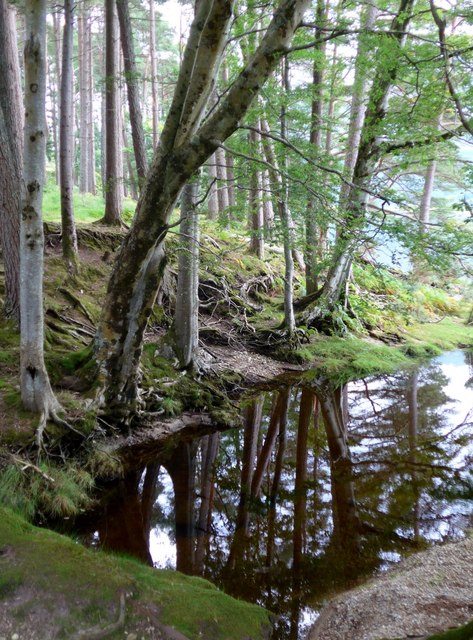
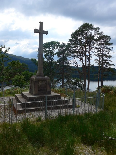
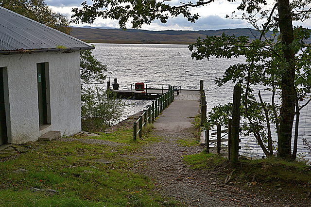
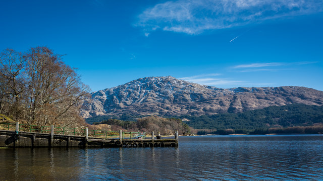
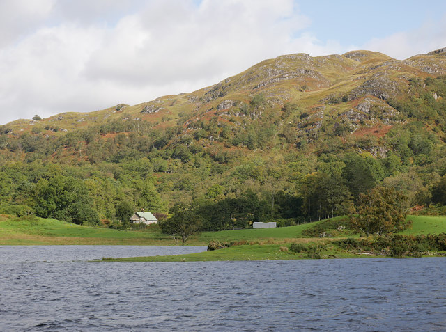
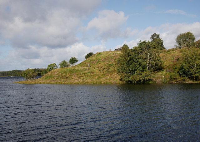
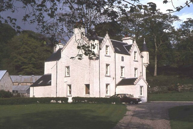
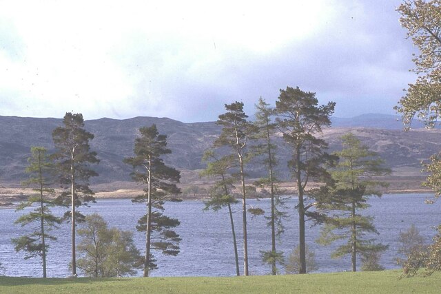
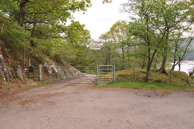
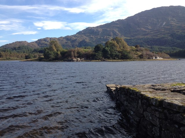
Aird an Eilein Images

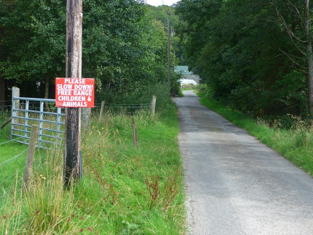
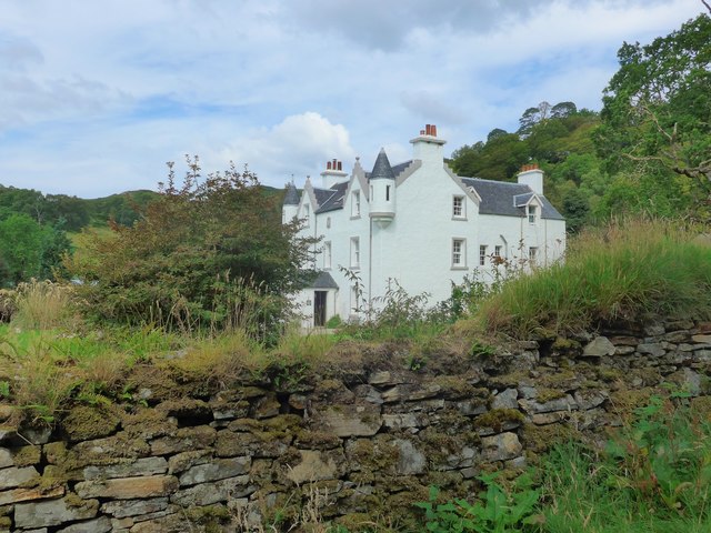
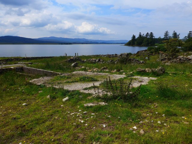
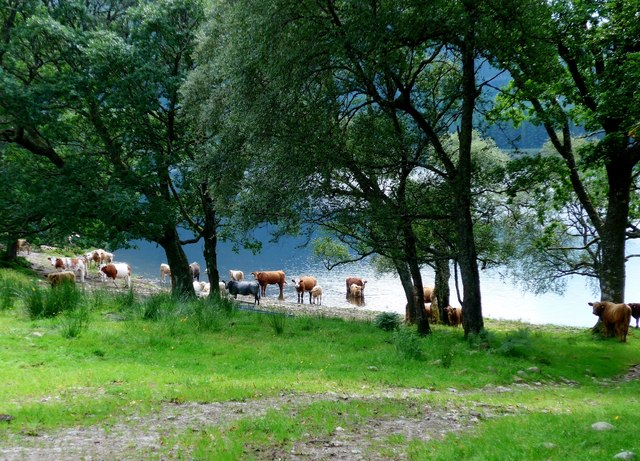
Images are sourced within 2km of 56.753647/-5.6848702 or Grid Reference NM7468. Thanks to Geograph Open Source API. All images are credited.

Partly wooded slopes of Cruach a Ghaill
Free range children - the best kind! Interesting sign approaching Dalilea.  Note the spelling of the place name - the OS spells it 'Dalilia' but the road signs and all local signs keep to 'Dalilea' which is closer to the Gaelic original 'Dail an Leigh'.
Free range children - the best kind!
Interesting sign approaching Dalilea. Note the spelling of the place name - the OS spells it 'Dalilia' but the road signs and all local signs keep to 'Dalilea' which is closer to the Gaelic original 'Dail an Leigh'.
Dalilea House Note the spelling of the place name - the OS spells it 'Dalilia' but the road signs and all local signs (like here) keep to 'Dalilea' which is closer to the Gaelic original 'Dail an Leigh'.
Dalilea House
Note the spelling of the place name - the OS spells it 'Dalilia' but the road signs and all local signs (like here) keep to 'Dalilea' which is closer to the Gaelic original 'Dail an Leigh'.
Ruined sheep-wash The OS says that this is/was a sheep-wash and it looks like it could have been one, so that's the title!

The waters of Loch Shiel lie beyond.
Ruined sheep-wash
The OS says that this is/was a sheep-wash and it looks like it could have been one, so that's the title! The waters of Loch Shiel lie beyond.
Cool cattle in Loch Shiel A very bucolic scene.
Cool cattle in Loch Shiel
A very bucolic scene.
Reflections in the Allt a Ghoirtein Chnapaich
Memorial near Dalilea The plaque reads "Lieutenant The Honble Philip G.J.F. Howard Welsh Guards who died 24th May 1918 of wounds received in action while commanding No 3 Coy of the 1st Battln in France.  Born April 1895."  His father owned the estate.

Note the spelling of the place name - the OS spells it 'Dalilia' but the road signs and all local signs keep to 'Dalilea' which is closer to the Gaelic original 'Dail an Leigh'.
Memorial near Dalilea
The plaque reads "Lieutenant The Honble Philip G.J.F. Howard Welsh Guards who died 24th May 1918 of wounds received in action while commanding No 3 Coy of the 1st Battln in France. Born April 1895." His father owned the estate. Note the spelling of the place name - the OS spells it 'Dalilia' but the road signs and all local signs keep to 'Dalilea' which is closer to the Gaelic original 'Dail an Leigh'.
Dalelia Pier
Dalelia Pier
Dalelia Pier on Loch Shiel
Cuil, Loch Shiel A house and shed amongst the woodland, on the north side of the loch. Rubha nan Corra jutting out in front.

Viewed from the Loch Shiel Cruises boat trip.
Cuil, Loch Shiel
A house and shed amongst the woodland, on the north side of the loch. Rubha nan Corra jutting out in front. Viewed from the Loch Shiel Cruises boat trip.
Eilean Fhianain, Loch Shiel An island in Loch Shiel. It has the remains of a chapel, dedicated to St Finnan, as well as a burial ground. Several gravestones are visible.

The chapel is a Scheduled Monument. <span class="nowrap"><a title="http://portal.historicenvironment.scot/designation/SM6255" rel="nofollow ugc noopener" href="http://portal.historicenvironment.scot/designation/SM6255">Link</a><img style="margin-left:2px;" alt="External link" title="External link - shift click to open in new window" src="https://s1.geograph.org.uk/img/external.png" width="10" height="10"/></span>
The burial ground is a Category A listed building. <span class="nowrap"><a title="http://portal.historicenvironment.scot/designation/LB306" rel="nofollow ugc noopener" href="http://portal.historicenvironment.scot/designation/LB306">Link</a><img style="margin-left:2px;" alt="External link" title="External link - shift click to open in new window" src="https://s1.geograph.org.uk/img/external.png" width="10" height="10"/></span>
Eilean Fhianain, Loch Shiel
An island in Loch Shiel. It has the remains of a chapel, dedicated to St Finnan, as well as a burial ground. Several gravestones are visible. The chapel is a Scheduled Monument. LinkExternal link The burial ground is a Category A listed building. LinkExternal link
Dalilea House, Moidart
Looking towards tree lined Loch Shiel from Dalilea House, Moidart
Turning area at the end of the public road at Dalelia
Dalelia Pier
Dalelia Pier
Eilean Fhianain, Loch Shiel The fascinating Eilean Fhianain on Loch Shiel
Eilean Fhianain, Loch Shiel
The fascinating Eilean Fhianain on Loch Shiel
Pier and Eilean Fhianain
Shoreline of Loch Shiel
Show me another place!

Aird an Eilein is located at Grid Ref: NM7468 (Lat: 56.753647, Lng: -5.6848702)

Unitary Authority: Highland

Police Authority: Highlands and Islands

What 3 Words

///open.puddles.loudness. Near Arisaig, Highland

Related Wikis

Dalelia

Dalelia or Dalilea (from Scottish Gaelic: Dàil Eileadh [t̪aːl ˈeləɣ]) is hamlet on the north shore of Loch Shiel in Acharacle district of Argyll, Scottish...

Beinn Resipol

Beinn Resipol (845 m) is a mountain of the Northwest Highlands, Scotland, in the Ardnamurchan area of Lochaber. The mountain is the most western of Scotland...

Claish Moss

Claish Moss is an upland blanket bog on the south side of Loch Shiel, in the Sunart district of the west highlands of Scotland The Moss is designated as...

Polloch

Polloch is a remote hamlet, located at the north shore of the River Polloch, in an inlet that flows into Loch Shiel, in Inverness-shire, Scottish Highlands...

Nearby Amenities

Located within 500m of 56.753647,-5.6848702
Port an Eilean
Natural: bay
Lat/Long: 56.7541581/-5.6795132
Rubha nan Laogh
Natural: cape
Lat/Long: 56.751268/-5.6885483
Àird an Eilein
Natural: cape
Lat/Long: 56.7528313/-5.6815988
Rubha nan Corra
Natural: cape
Lat/Long: 56.7529821/-5.6909947
The data included in this document is from www.openstreetmap.org. The data is made available under ODbL.

Have you been to Aird an Eilein?

Leave your review of Aird an Eilein below (or comments, questions and feedback).