Am Binneag
Hill, Mountain in Argyllshire
Scotland
Am Binneag

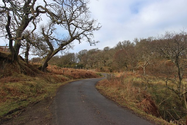
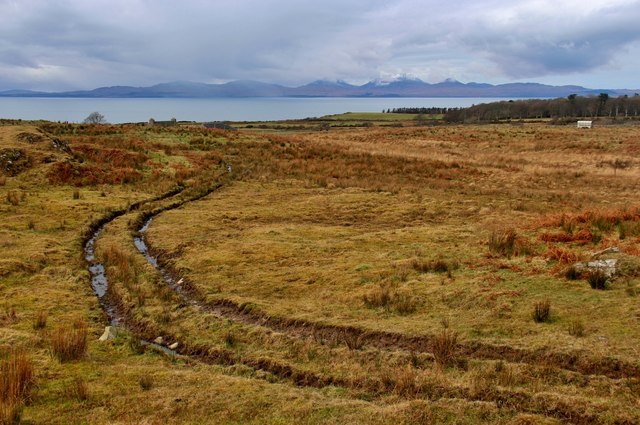
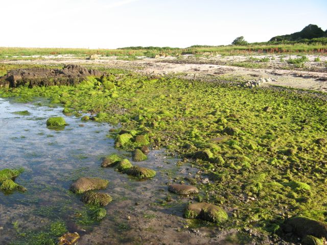
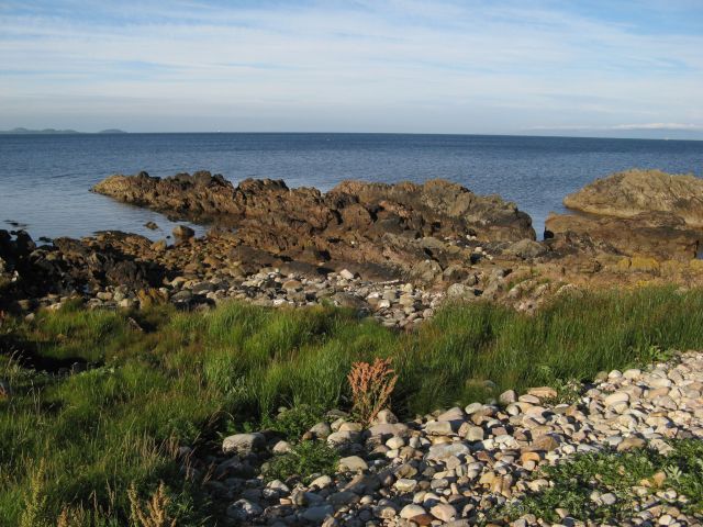
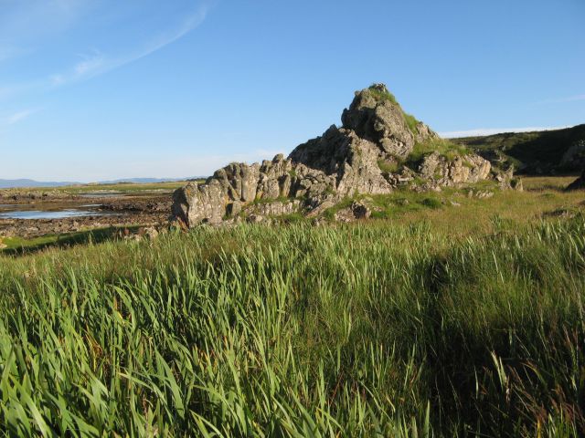
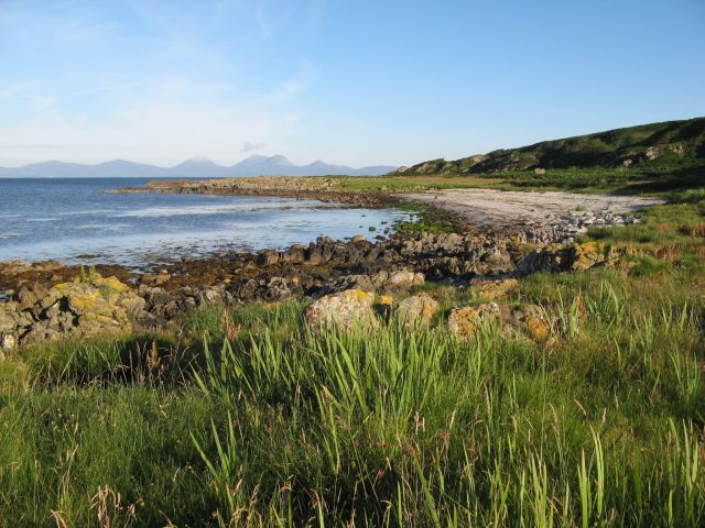
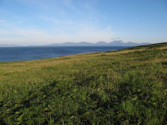
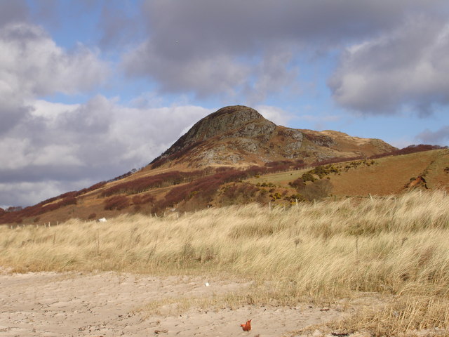
Am Binneag is a prominent hill located in Argyllshire, Scotland. It belongs to the Grampian Mountains range and is situated in the southwestern part of the country. Standing at an impressive height of approximately 841 meters (2,759 feet), it offers breathtaking panoramic views of the surrounding landscape.
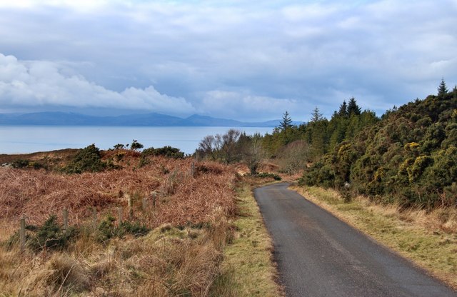
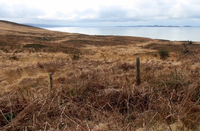
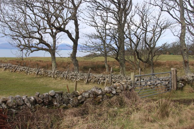
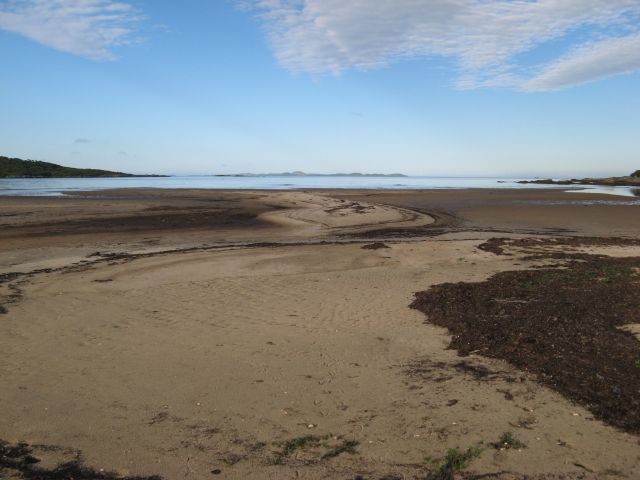
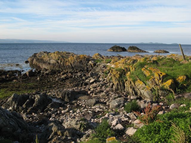
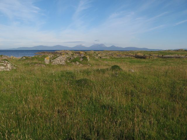
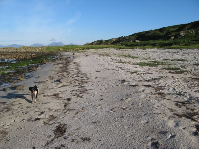
The hill is characterized by its rugged and rocky terrain, making it a challenging but rewarding destination for avid hikers and climbers. Its slopes are covered in heather and grasses, providing a picturesque setting throughout the year. The summit provides a commanding vantage point, offering stunning vistas of the nearby Loch Fyne and the surrounding Argyll countryside.
Am Binneag is also renowned for its rich biodiversity. The hill is home to a variety of flora and fauna, including rare alpine plants and various bird species. Wildlife enthusiasts can spot red deer, mountain hares, and even golden eagles in this region.
Reaching the summit of Am Binneag requires a moderate to strenuous level of fitness and proper navigation skills. Several well-established trails and paths are available for visitors to explore, ensuring a safe and enjoyable hiking experience. However, it is advised to check weather conditions and be prepared for changing weather patterns, as the hill is often subject to strong winds and unpredictable weather.
Overall, Am Binneag is a remarkable hill in Argyllshire, offering outdoor enthusiasts and nature lovers an opportunity to immerse themselves in Scotland's stunning natural beauty.
If you have any feedback on the listing, please let us know in the comments section below.
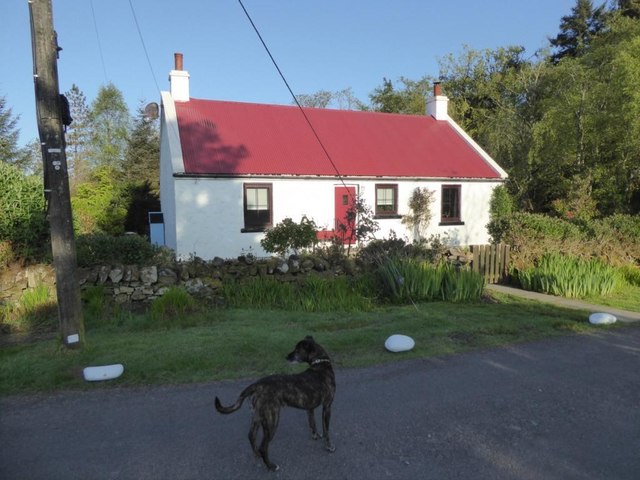
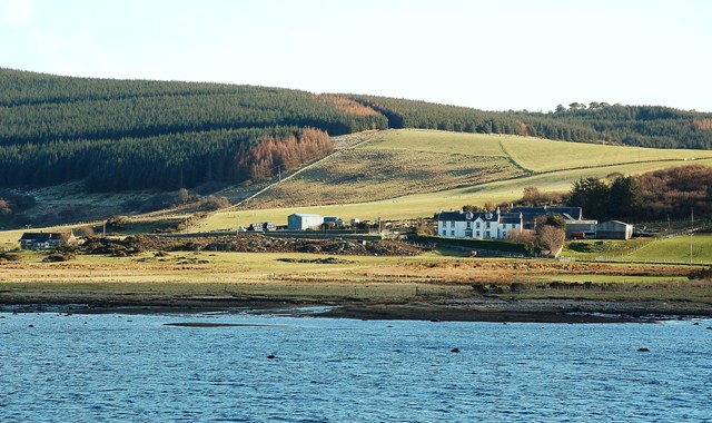
Am Binneag Images
Images are sourced within 2km of 55.800947/-5.6404444 or Grid Reference NR7162. Thanks to Geograph Open Source API. All images are credited.
Am Binneag is located at Grid Ref: NR7162 (Lat: 55.800947, Lng: -5.6404444)
Unitary Authority: Argyll and Bute
Police Authority: Argyll and West Dunbartonshire
What 3 Words
///remaking.handfuls.trooper. Near Tarbert, Argyll & Bute
Nearby Locations
Related Wikis

Kilberry Castle
Kilberry Castle is a Category B listed country house near Kilberry in South Knapdale in the county of Argyll, in western Scotland on the shores of the...

Kilberry
Kilberry (Scottish Gaelic: Cill Bheiridh) is a village in Argyll and Bute, Scotland. It is close to the western coast of the district of Knapdale. Kilberry...
Kilcalmonell
The parish of Kilcalmonell is situated in Argyll and Bute, Scotland. It extends from Clachan, in Kintyre to Kilberry, in Knapdale. == References == W....

Ardpatrick, Argyll
Ardpatrick (Scottish Gaelic: Àird Phàdraig) is a village at the southwestern extremity of the Knapdale, Argyll, Scotland. The village is built along the...
Ardpatrick House
Ardpatrick House is a category-B-listed 18th-century country house in Ardpatrick, South Knapdale, Argyll and Bute, Scotland. == History == A fortified...
Dun Skeig
Dun Skeig is an oval Iron Age dun (fort) complex which is perched atop a rocky outcropping about 40 metres (130 ft) above sea level overlooking West Loch...
Loup House
Loup House is a manor house north of Clachan on the Kintyre peninsula of Argyll, Scotland. The estate was once home to the chiefs of Clan MacAlister, and...

Clachan, Kintyre
Clachan is a small village in North Kintyre, Argyll & Bute, Scotland. Clachan is the site of an old church, which was the principal church for the North...
Nearby Amenities
Located within 500m of 55.800947,-5.6404444Have you been to Am Binneag?
Leave your review of Am Binneag below (or comments, questions and feedback).