Cross, High
Settlement in Monmouthshire
Wales
Cross, High

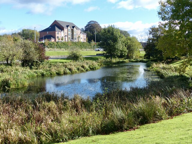
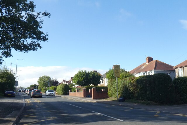
Cross is a small village located in the county of Monmouthshire, Wales. Situated in the eastern part of the county, Cross is nestled in the beautiful countryside, offering picturesque views and a serene environment. The village is located approximately 4 miles west of Monmouth, the county town of Monmouthshire.
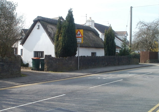
Cross is a close-knit community with a population of around 500 residents. The village boasts a charming and traditional atmosphere, with many historic buildings and cottages. The local architecture reflects the area's rural heritage, with stone houses and thatched roofs adorning the streets.
Despite its small size, Cross has a few amenities to cater to the needs of its residents. The village has a primary school, providing education for local children, and a small shop for everyday essentials. Additionally, there is a village hall which serves as a hub for various community activities and events.
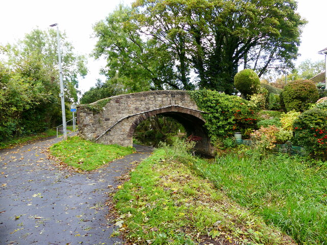
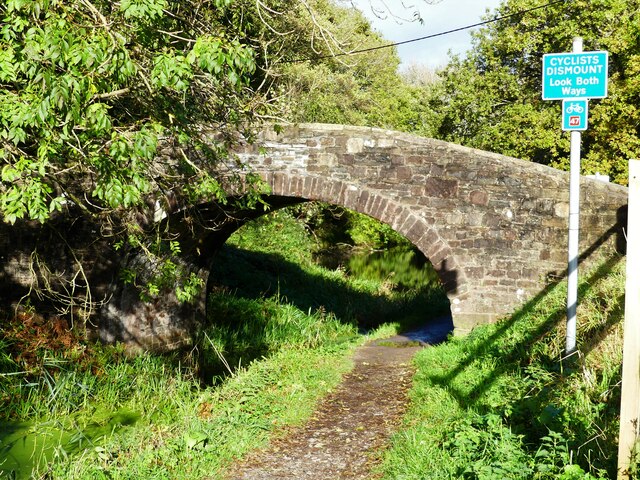
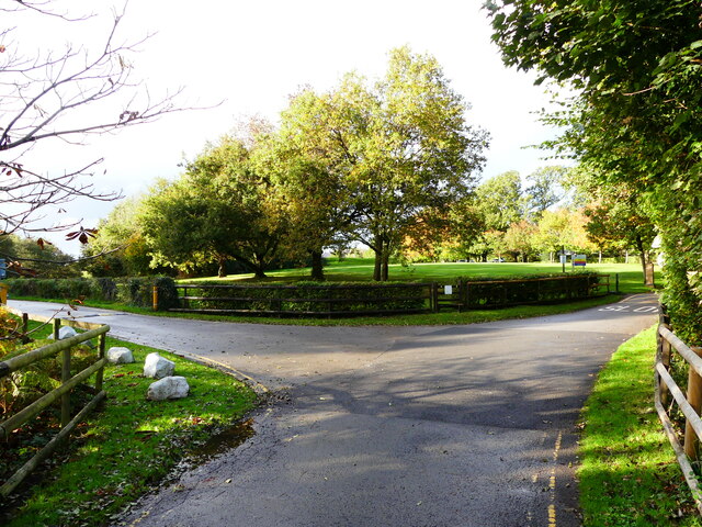
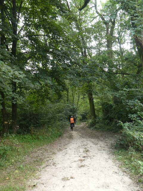
The surrounding area offers ample opportunities for outdoor pursuits. The nearby countryside is dotted with walking and cycling trails, allowing residents and visitors to explore the stunning landscapes and enjoy the fresh air. The village is also in close proximity to the Wye Valley Area of Outstanding Natural Beauty, which attracts tourists from far and wide.
Overall, Cross is a peaceful and idyllic village, offering a tranquil lifestyle amidst the beauty of the Monmouthshire countryside.
If you have any feedback on the listing, please let us know in the comments section below.
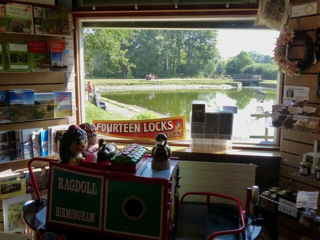
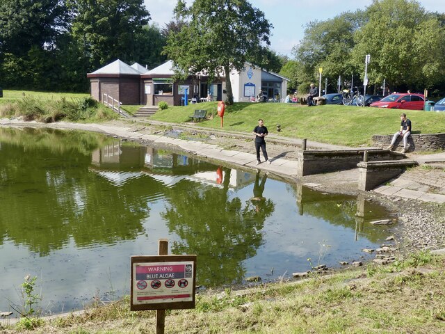
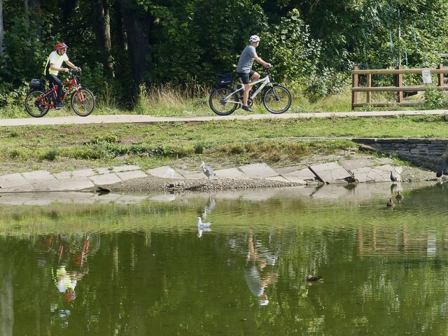
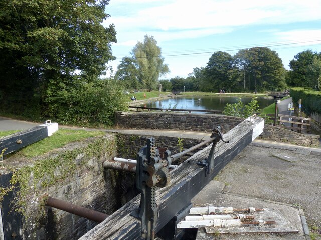
Cross, High Images
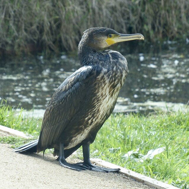
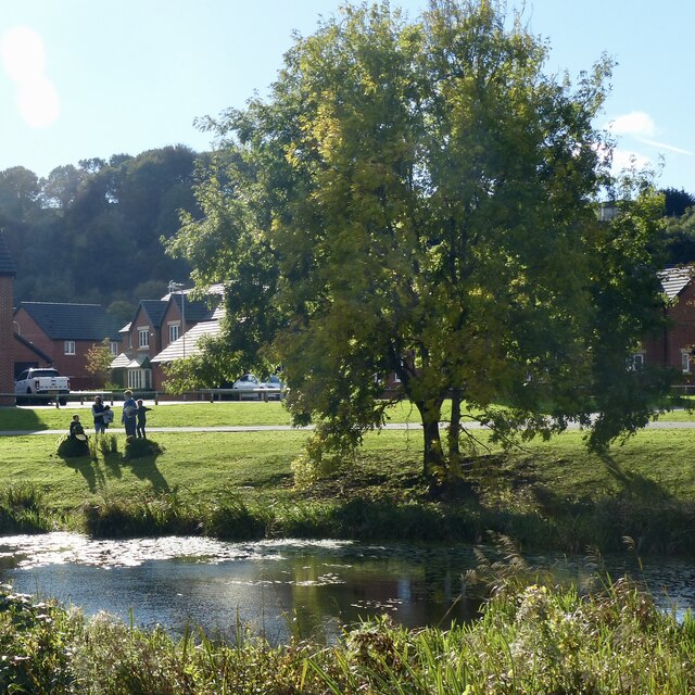
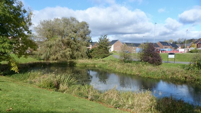
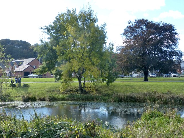
Images are sourced within 2km of 51.582784/-3.0456152 or Grid Reference ST2787. Thanks to Geograph Open Source API. All images are credited.


Cross, High is located at Grid Ref: ST2787 (Lat: 51.582784, Lng: -3.0456152)
Unitary Authority: Newport
Police Authority: Gwent
What 3 Words
///slimmer.flow.shippers. Near Newport
Nearby Locations
Related Wikis

Newport West (UK Parliament constituency)
Newport West (Welsh: Gorllewin Casnewydd) is one of two parliamentary constituencies for the city of Newport, South Wales, in the House of Commons of the...
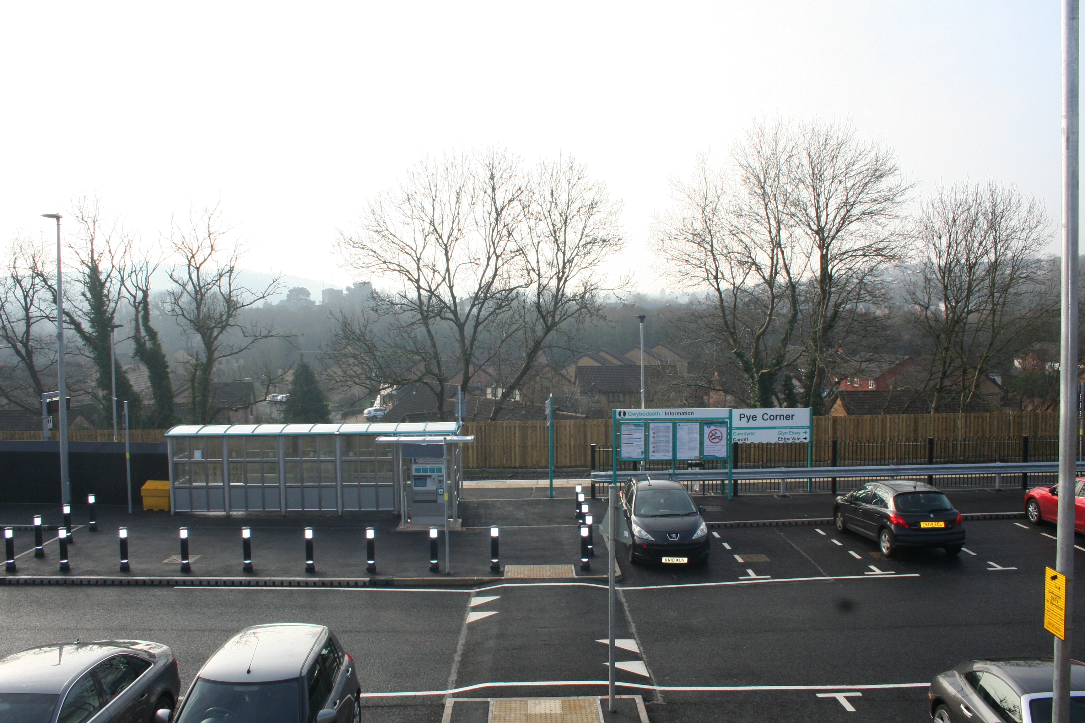
Pye Corner railway station
Pye Corner railway station is a station serving a residential area in the west of Newport, Wales, between the suburbs of Bassaleg and High Cross. It opened...
Bassaleg
Bassaleg (Welsh: Basaleg) is a suburb on the west side of Newport, Wales. It is in the Graig electoral ward and community. Bassaleg is located two miles...

Bassaleg Junction railway station
Bassaleg Junction was a railway station which served the village of Bassaleg, Monmouthshire. == History == The station was opened by the Monmouthshire...
Nearby Amenities
Located within 500m of 51.582784,-3.0456152Have you been to Cross, High?
Leave your review of Cross, High below (or comments, questions and feedback).