Cnoc na Faire

Hill, Mountain in Argyllshire

Scotland

Cnoc na Faire

Causeway to Island of Danna, Knapdale This is the causeway that joins the Island of Danna to the Taynish peninsula in Knapdale.
Causeway to Island of Danna, Knapdale Credit: S C Grove

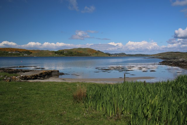
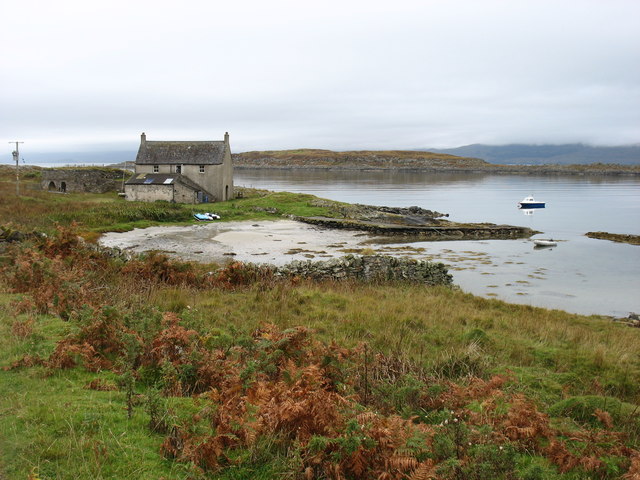
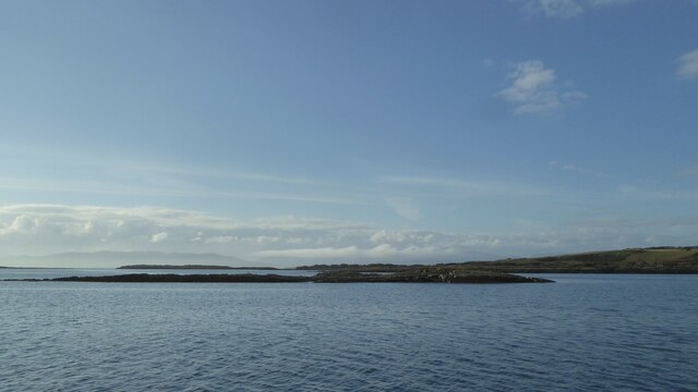
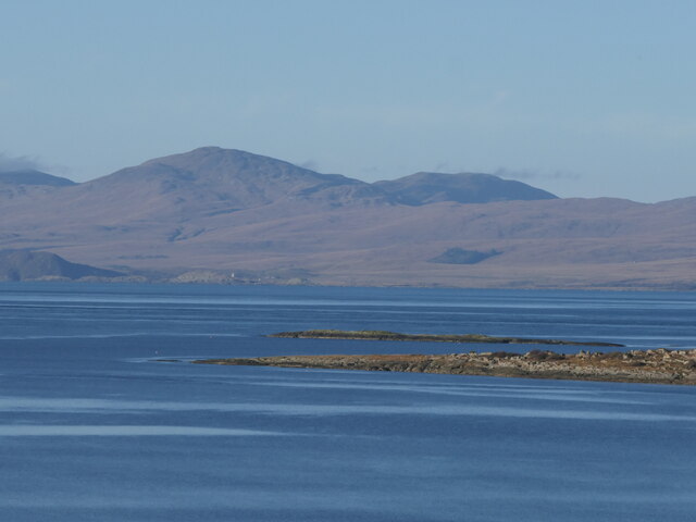
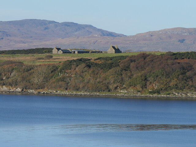
Cnoc na Faire, also known as Knoc na Faire or the Hill of the Watch, is a prominent hill located in Argyllshire, Scotland. It is situated in the western part of the country, specifically in the Loch Fyne region. Rising to an elevation of approximately 550 meters (1,800 feet), Cnoc na Faire is classified as a hill, but its steep slopes and rugged terrain make it appear more like a mountain.

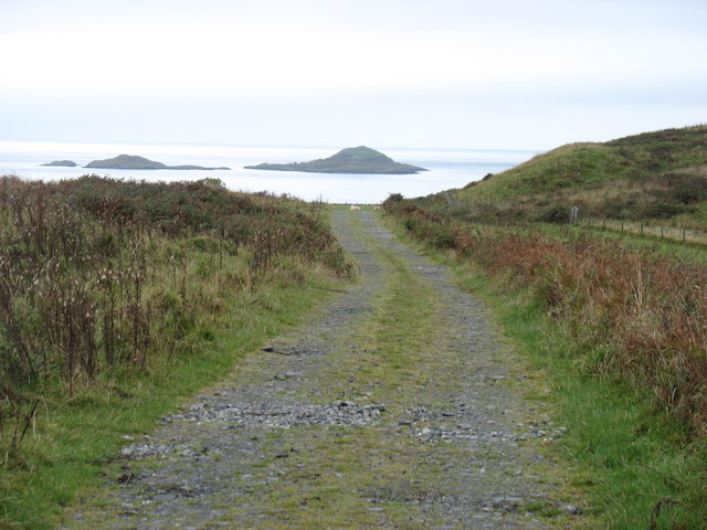
The hill is part of the larger Argyll Forest Park, which covers a vast area of over 72,000 hectares. Cnoc na Faire stands out due to its distinctive cone-shaped peak and its commanding position overlooking the surrounding landscape. From the summit, visitors are treated to breathtaking panoramic views of Loch Fyne, nearby hills, and the dense forests that stretch as far as the eye can see.

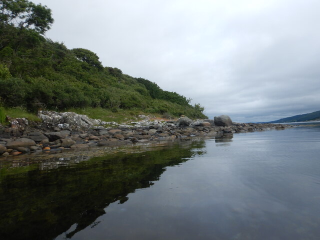
The climb to the top of Cnoc na Faire is challenging but rewarding, offering hikers and nature enthusiasts a chance to experience the untamed beauty of the Scottish Highlands. The hill is covered in heather and grasses, with scattered rocky outcrops adding to its rugged charm. It is a popular spot for outdoor activities such as hillwalking, hiking, and birdwatching. The area is home to a diverse range of wildlife, including red deer, golden eagles, and various species of birds.

Overall, Cnoc na Faire in Argyllshire is a picturesque and captivating hill, offering visitors a chance to immerse themselves in the wild beauty of the Scottish countryside.

If you have any feedback on the listing, please let us know in the comments section below.

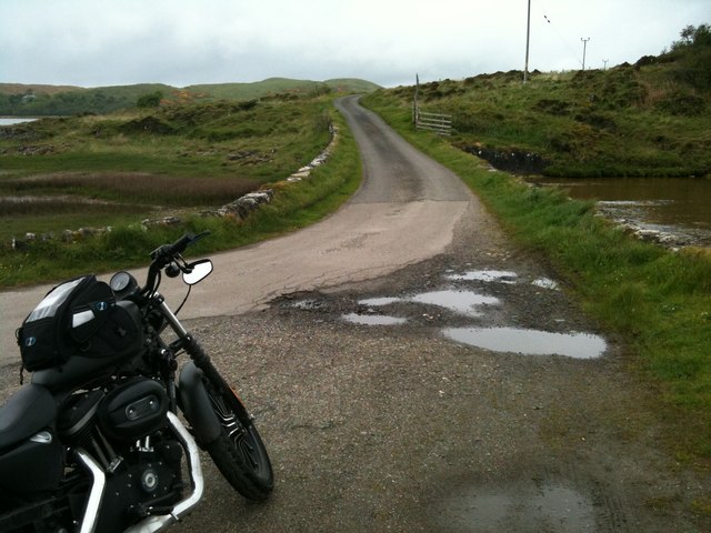
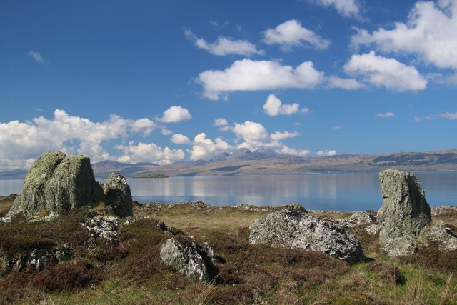
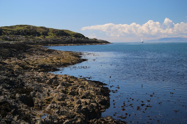
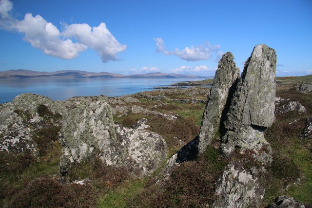
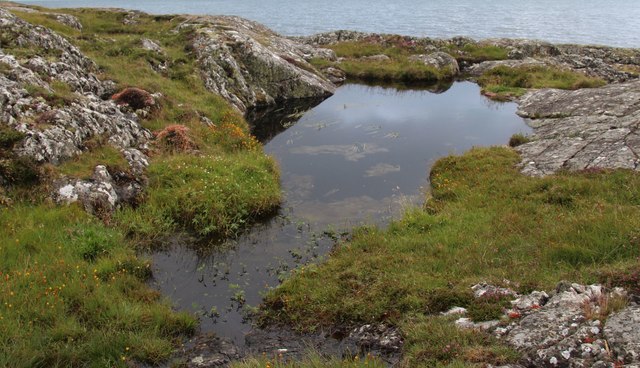
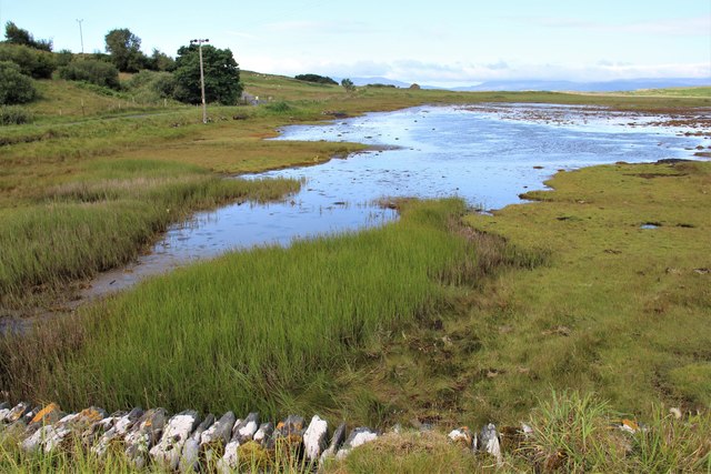
Cnoc na Faire Images

Images are sourced within 2km of 55.94478/-5.6997377 or Grid Reference NR6978. Thanks to Geograph Open Source API. All images are credited.

Causeway to Island of Danna, Knapdale This is the causeway that joins the Island of Danna to the Taynish peninsula in Knapdale.
Causeway to Island of Danna, Knapdale
This is the causeway that joins the Island of Danna to the Taynish peninsula in Knapdale.
Rubha na Cille The narrow promontory known as Rubha na Cille contains many unusual volcanic rock formations. Here, some halfway down the peninsula, two rocks frame the distant Paps across the Sound of Jura.
Rubha na Cille
The narrow promontory known as Rubha na Cille contains many unusual volcanic rock formations. Here, some halfway down the peninsula, two rocks frame the distant Paps across the Sound of Jura.
West coast of Rubha na Cille A still day on the Sound of Jura side of the narrow promontory.
West coast of Rubha na Cille
A still day on the Sound of Jura side of the narrow promontory.
Rock formations at Rubha na Cille The narrow promontory of Rubha na Cille is littered with many examples of these volcanic rocks.
Rock formations at Rubha na Cille
The narrow promontory of Rubha na Cille is littered with many examples of these volcanic rocks.
Port nan Gallan This peaceful view on the Island of Danna faces northwards into Loch na Cille. To the left is an old quay that has now been replaced by a more modern one a few metres to the south.
Port nan Gallan
This peaceful view on the Island of Danna faces northwards into Loch na Cille. To the left is an old quay that has now been replaced by a more modern one a few metres to the south.
Port nan Gallan, Island of Danna Across the small sea-loch Loch na Cille is the peninsula of Rubha na Cille. Jura is in the distance.
Port nan Gallan, Island of Danna
Across the small sea-loch Loch na Cille is the peninsula of Rubha na Cille. Jura is in the distance.
The main track on Danna Offshore can be seen the islands of Eilean Ghamhna (left, in <a href="https://www.geograph.org.uk/gridref/NR6875">NR6875</a>) and Corr Eilean (in <a href="https://www.geograph.org.uk/gridref/NR6775">NR6775</a>).
The main track on Danna
Offshore can be seen the islands of Eilean Ghamhna (left, in NR6875) and Corr Eilean (in NR6775).
Buildings on the Island of Danna
Sgeir Bun an Locha
Sgeir Bun an Locha
Southeast coast of the Island of Danna This southeast side of Danna rises steeply for a short way above the waters of Loch Sween and has a narrow band of woodland right down to tidewater. The Loch itself is very sheltered and at this point has very little tidal flow, but further up is characterised by a double high tide as the rising tide is reflected from the inland end and travels back down.
Southeast coast of the Island of Danna
This southeast side of Danna rises steeply for a short way above the waters of Loch Sween and has a narrow band of woodland right down to tidewater. The Loch itself is very sheltered and at this point has very little tidal flow, but further up is characterised by a double high tide as the rising tide is reflected from the inland end and travels back down.
Looking for butterflies Members of the British Butterfly Conservation Society (now called Butterfly Conservation) looking for signs of marsh fritillary butterflies in the area between the road and the shore, just north of the causeway over to the Island of Danna. 
The late Gerry Rodway (with camera) is looking at an orchid in front of him. Gerry was the curator in charge of the orchid collection at Glasgow Botanic gardens for many years.
Looking for butterflies
Members of the British Butterfly Conservation Society (now called Butterfly Conservation) looking for signs of marsh fritillary butterflies in the area between the road and the shore, just north of the causeway over to the Island of Danna. The late Gerry Rodway (with camera) is looking at an orchid in front of him. Gerry was the curator in charge of the orchid collection at Glasgow Botanic gardens for many years.
Rubha nam Maraich The tip of Danna. The landform of lots of parallel steep sided ridges continues into the sea.
Rubha nam Maraich
The tip of Danna. The landform of lots of parallel steep sided ridges continues into the sea.
Danna na Cloiche View across Loch Sween.
Danna na Cloiche
View across Loch Sween.
Otter enjoying the autumn sun The otter was fast asleep on a rock in the gap between Eilean a’Chapuill and Sgeir Dhonncha enjoying the autumn sun.
Otter enjoying the autumn sun
The otter was fast asleep on a rock in the gap between Eilean a’Chapuill and Sgeir Dhonncha enjoying the autumn sun.
Danna causeway A short stone structure across the tidal channel which separates Danna from the Knapdale mainland.
Danna causeway
A short stone structure across the tidal channel which separates Danna from the Knapdale mainland.
Rocks on Rubha na Cille
Rock pool on Rubha na Cille
Tidal channel at Island of Danna
Show me another place!

Cnoc na Faire is located at Grid Ref: NR6978 (Lat: 55.94478, Lng: -5.6997377)

Unitary Authority: Argyll and Bute

Police Authority: Argyll and West Dunbartonshire

What 3 Words

///playoffs.dwarf.cyber. Near Ardrishaig, Argyll & Bute

Related Wikis

Island of Danna

The Island of Danna or Danna (Scottish Gaelic: Danna), is an inhabited tidal island in Argyll and Bute. == Geography == It is connected to the mainland...

Keills Chapel

Keills Chapel is a small chapel located in the west Highlands, Scotland, near the village of Tayvallich, Knapdale.The chapel dates from the 11th century...

Kilmory Knap Chapel

Kilmory Knap Chapel is a 13th-century Christian chapel, located at the tiny hamlet of Kilmory, in Knapdale, Argyll and Bute, on the west coast of Scotland...

Kilmory, Knapdale

Kilmory (Scottish Gaelic: Cill Mhoire) is a hamlet in the civil parish of South Knapdale, on Knapdale, Argyll and Bute, Scotland. It is situated near the...

Nearby Amenities

Located within 500m of 55.94478,-5.6997377
Power: pole
Lat/Long: 55.9427407/-5.6971773
Power: pole
Lat/Long: 55.9434729/-5.6974787
Power: pole
Lat/Long: 55.9442179/-5.6977925
Power: pole
Lat/Long: 55.9447451/-5.6974706
Power: pole
Lat/Long: 55.9452618/-5.6971407
Power: pole
Lat/Long: 55.9459647/-5.6966901
Power: pole
Lat/Long: 55.9471738/-5.6959632
Power: pole
Lat/Long: 55.947704/-5.6956413
Power: pole
Lat/Long: 55.9484384/-5.6951827
Power: pole
Lat/Long: 55.9420774/-5.696927
Power: pole
Lat/Long: 55.9408305/-5.6964114
Power: pole
Lat/Long: 55.9429023/-5.6964907
Power: pole
Lat/Long: 55.9430552/-5.6958504
Mid Danna
Name Gd: Dana Mheadhanach
Place: isolated_dwelling
Lat/Long: 55.9430336/-5.6954292
Power: pole
Lat/Long: 55.9413834/-5.69664
Power: pole
Lat/Long: 55.9465965/-5.6963103
The data included in this document is from www.openstreetmap.org. The data is made available under ODbL.

Have you been to Cnoc na Faire?

Leave your review of Cnoc na Faire below (or comments, questions and feedback).