Àird nam Fuaran

Hill, Mountain in Inverness-shire

Scotland

Àird nam Fuaran

Craigview, near Kinloid/Ceann an Leothaid A smallholding and island of green in Arisaig.
Craigview, near Kinloid/Ceann an Leothaid Credit: M J Richardson

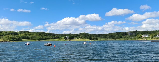
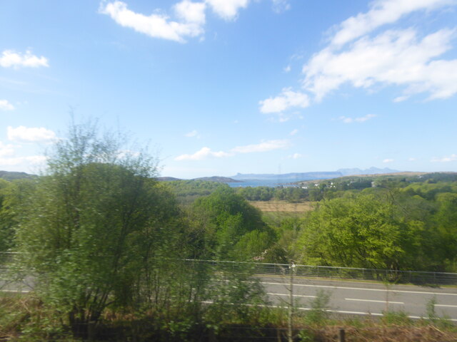
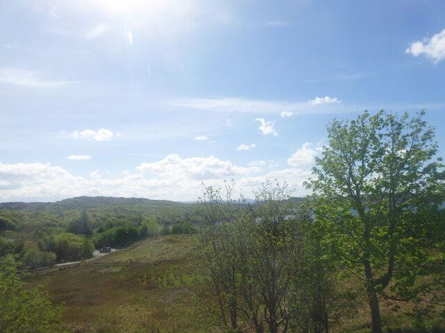
Àird nam Fuaran is a prominent hill located in Inverness-shire, Scotland. It stands at an elevation of approximately 601 meters (1,972 feet) above sea level. The summit of the hill offers breathtaking panoramic views of the surrounding area, including the picturesque Glen Strathfarrar and the towering peaks of the Monadhliath Mountains.

The hill is characterized by its rugged terrain, covered in heather and scattered with rocky outcrops. This creates a challenging yet rewarding hiking experience for outdoor enthusiasts. The ascent to the summit can be steep at times, but the stunning vistas and the sense of accomplishment that awaits make it well worth the effort.

Àird nam Fuaran is also known for its numerous natural springs and small lochans, which dot the landscape. These water sources provide a habitat for various wildlife, including birds, deer, and small mammals, making it a popular spot for nature enthusiasts and birdwatchers.

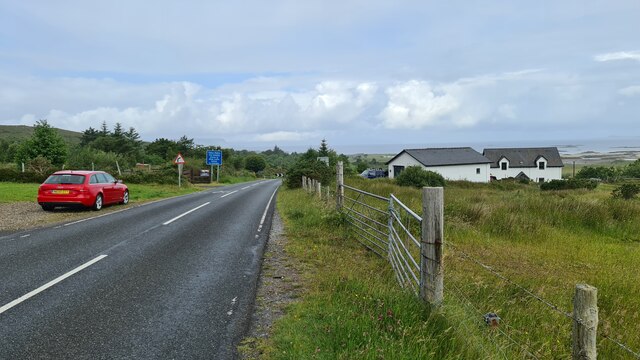
The hill is easily accessible from the nearby village of Struy, with a well-marked trail leading to the summit. It is advisable to come prepared with appropriate footwear and clothing, as the weather conditions can change rapidly, especially at higher altitudes.

Whether you are seeking a challenging hike, a peaceful escape into nature, or simply stunning views, Àird nam Fuaran offers all of this and more. It is a true gem within the Inverness-shire region, providing visitors with a memorable experience in the Scottish Highlands.

If you have any feedback on the listing, please let us know in the comments section below.

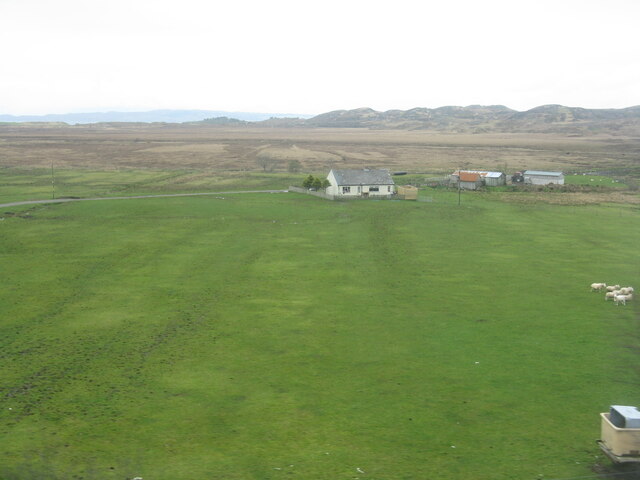
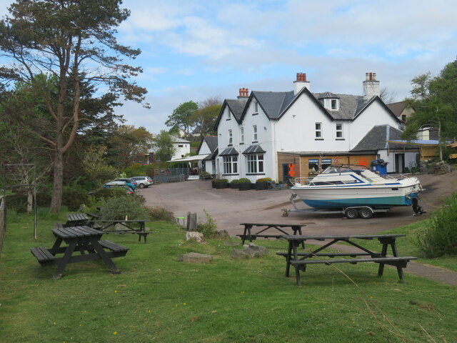
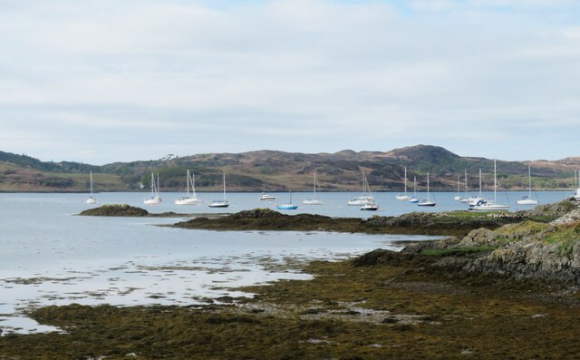
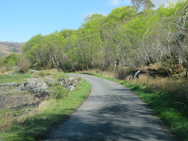
Àird nam Fuaran Images

Images are sourced within 2km of 56.918697/-5.8369645 or Grid Reference NM6687. Thanks to Geograph Open Source API. All images are credited.

Craigview, near Kinloid/Ceann an Leothaid A smallholding and island of green in Arisaig.
Craigview, near Kinloid/Ceann an Leothaid
A smallholding and island of green in Arisaig.
The Arisaig Hotel Close to the village centre and just across the road from the sea.
The Arisaig Hotel
Close to the village centre and just across the road from the sea.
Yachts at Arisaig I'm no yachtsman, but it strikes me that a degree of expertise is needed to navigate through the many rocky shoals and islets just off the coast here.
Yachts at Arisaig
I'm no yachtsman, but it strikes me that a degree of expertise is needed to navigate through the many rocky shoals and islets just off the coast here.
Rhue road near Arisaig A popular photo subject, simply because there's just 70m or so of this road cutting a corner of the grid square.
Rhue road near Arisaig
A popular photo subject, simply because there's just 70m or so of this road cutting a corner of the grid square.
Land, Sea and Island Centre, Arisaig Heritage and information centre at Arisaig.
Land, Sea and Island Centre, Arisaig
Heritage and information centre at Arisaig.
Farm road, Achraig The road doesn't appear to go anywhere in particular, but there is a good view towards the craggy slopes of Creag Mhor.
Farm road, Achraig
The road doesn't appear to go anywhere in particular, but there is a good view towards the craggy slopes of Creag Mhor.
Allt Cam Carach heading seawards The last few metres of this burn which by this point has brackish waters. The mountains of Rum can be seen on the horizon.
Allt Cam Carach heading seawards
The last few metres of this burn which by this point has brackish waters. The mountains of Rum can be seen on the horizon.
Upstream along  Allt Cam Carach A slow and sluggish burn which drains a large area of low lying bog and scrubland known as Mointeach Mhor.
Upstream along Allt Cam Carach
A slow and sluggish burn which drains a large area of low lying bog and scrubland known as Mointeach Mhor.
Post Office and shop at Arisaig/Arasaig In the village on the B8008, which would have been the main Fort William-Mallaig road until it was bypassed.
Post Office and shop at Arisaig/Arasaig
In the village on the B8008, which would have been the main Fort William-Mallaig road until it was bypassed.
Arisaig harbour
Arisaig harbour
Back of Keppoch
Back of Keppoch
Southbound platyform at Arisaig station On the West Highland Line.
Southbound platyform at Arisaig station
On the West Highland Line.
The A830 adjacent to the West Highland Railway below Carn Mor
Looking south from the West Highland Railway west of Arisaig station
Outcrop next to the railway near Kinloid Looking across Mointeach Mhor to the north.
Outcrop next to the railway near Kinloid
Looking across Mointeach Mhor to the north.
Moorland next to the A830 at Kinloid Looking towards Creag Mhor.
Moorland next to the A830 at Kinloid
Looking towards Creag Mhor.
Craigview, under the shadow of Creag Mhor A house on the edge of Mointeach Mhor.
Craigview, under the shadow of Creag Mhor
A house on the edge of Mointeach Mhor.
Craigview, on the edge of Mointeach Mhor
Show me another place!

Àird nam Fuaran is located at Grid Ref: NM6687 (Lat: 56.918697, Lng: -5.8369645)

Unitary Authority: Highland

Police Authority: Highlands and Islands

What 3 Words

///voter.materials.consults. Near Arisaig, Highland

Related Wikis

Arisaig railway station

Arisaig railway station serves the village of Arisaig on the west coast of the Highland region of Scotland. This station is on the West Highland Line,...

Làrach Mòr

Làrach Mòr is a garden in Lochaber, in the western Highlands of Scotland. It lies 1 kilometre (0.62 mi) east of Arisaig, in the crook of a bend in the...

Arisaig

Arisaig (Scottish Gaelic: Àrasaig) is a village in Lochaber, Inverness-shire. It lies 7 miles (11 kilometres) south of Mallaig on the west coast of the...

Larichmore Viaduct

The Larichmore Viaduct is a railway viaduct in Scotland that carries the West Highland Line over the Brunery Burn. == History == The West Highland Railway...

Nearby Amenities

Located within 500m of 56.918697,-5.8369645
Man Made: tower
Tower Construction: lattice
Tower Type: communication
Lat/Long: 56.9190214/-5.8301658
Power: pole
Lat/Long: 56.917956/-5.8290759
Power: pole
Lat/Long: 56.9185637/-5.8297786
Power: pole
Lat/Long: 56.9198797/-5.8300388
Material: wood
Power: pole
Lat/Long: 56.9208899/-5.8302373
The data included in this document is from www.openstreetmap.org. The data is made available under ODbL.

Have you been to Àird nam Fuaran?

Leave your review of Àird nam Fuaran below (or comments, questions and feedback).