Druim an Dubh-Leathaid

Hill, Mountain in Inverness-shire

Scotland

Druim an Dubh-Leathaid

Lone tree by the shoreline The small inlet here is called Saideil Tòrr a' Bheithe, which according to a well known translation website is something to do with 'birch torrid satellites,' and I'm pretty confident that only the 'birch' part of that translation makes any sense. Houses at Arisaig can just be spotted in the distance.
Lone tree by the shoreline Credit: Gordon Hatton

Druim an Dubh-Leathaid is a prominent hill located in Inverness-shire, Scotland. Rising to an elevation of approximately 826 meters (2,710 feet), it forms a part of the Grampian Mountains range. The name Druim an Dubh-Leathaid translates to "Ridge of the Black Slope" in English, indicating its distinct dark appearance.

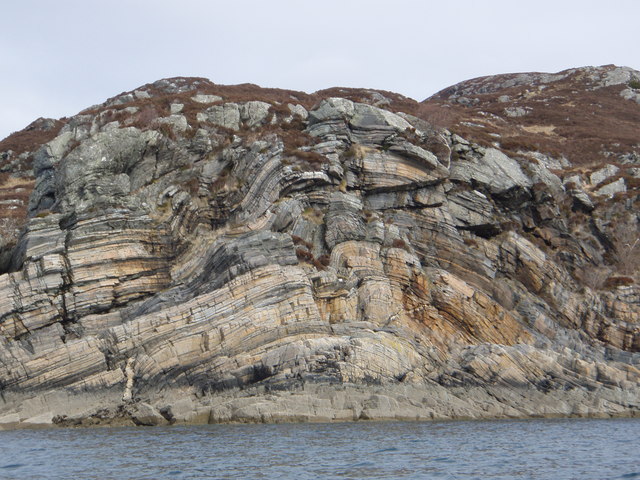
Situated within the Cairngorms National Park, Druim an Dubh-Leathaid offers breathtaking panoramic views of the surrounding landscape. The hill is characterized by its rugged and rocky terrain, typical of the Scottish Highlands. The summit provides an excellent vantage point from which to admire the stunning natural beauty of the area, including nearby lochs, glens, and other peaks.

Hiking enthusiasts are drawn to Druim an Dubh-Leathaid due to its challenging yet rewarding trails. The most popular route to reach the summit is from Glen Feshie, where walkers can follow a well-defined path that gradually ascends, showcasing the diverse flora and fauna of the region. As the altitude increases, the terrain becomes steeper and more rugged, requiring a moderate level of fitness and experience.

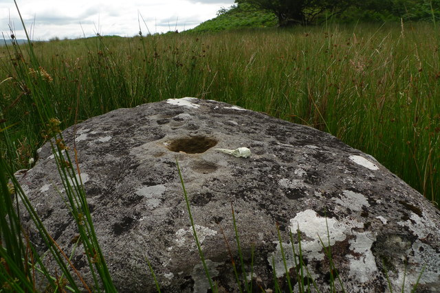
Druim an Dubh-Leathaid is also known for its cultural significance. It is situated in an area rich in history, with ancient ruins and archaeological sites nearby. The hill attracts nature lovers, photographers, and outdoor enthusiasts seeking solitude and a connection to the natural world.

Overall, Druim an Dubh-Leathaid offers a challenging yet rewarding experience for those seeking to explore the rugged beauty of the Scottish Highlands. Its breathtaking views, diverse terrain, and cultural significance make it a popular destination for both locals and tourists alike.

If you have any feedback on the listing, please let us know in the comments section below.

Druim an Dubh-Leathaid Images

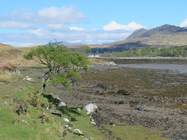
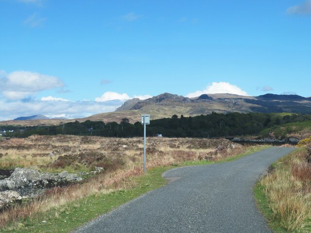
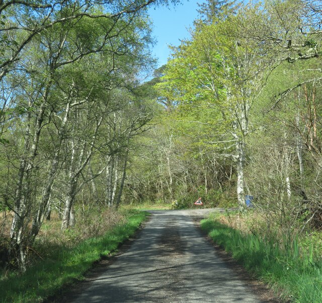
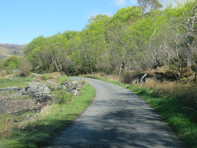
Images are sourced within 2km of 56.890993/-5.8408228 or Grid Reference NM6684. Thanks to Geograph Open Source API. All images are credited.
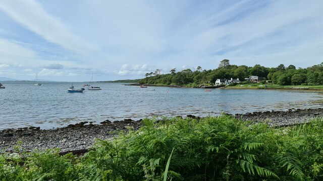
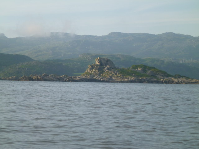
Lone tree by the shoreline The small inlet here is called Saideil Tòrr a' Bheithe, which according to a well known translation website is something to do with 'birch torrid satellites,' and I'm pretty confident that only the 'birch' part of that translation makes any sense. Houses at Arisaig can just be spotted in the distance.
Lone tree by the shoreline
The small inlet here is called Saideil Tòrr a' Bheithe, which according to a well known translation website is something to do with 'birch torrid satellites,' and I'm pretty confident that only the 'birch' part of that translation makes any sense. Houses at Arisaig can just be spotted in the distance.
The Rhue road towards Arisaig Unless one is prepared to either wander down to the shore or head off to the right into the boggy ground, then the minor road from Rhue towards Arisaig is the obvious subject for this square.
The Rhue road towards Arisaig
Unless one is prepared to either wander down to the shore or head off to the right into the boggy ground, then the minor road from Rhue towards Arisaig is the obvious subject for this square.
Shoreline at Acherault Looking towards Arisaig with the wooded Morroch Point [shaded] in the middle distance.
Shoreline at Acherault
Looking towards Arisaig with the wooded Morroch Point [shaded] in the middle distance.
Road through woodland The road from Rhue to Arisaig, about a mile short of that village.
Road through woodland
The road from Rhue to Arisaig, about a mile short of that village.
Rhue road near Arisaig A popular photo subject, simply because there's just 70m or so of this road cutting a corner of the grid square.
Rhue road near Arisaig
A popular photo subject, simply because there's just 70m or so of this road cutting a corner of the grid square.
Looking towards Morroch Point
Raised beach inland from Camas Ghaoideil Flat farm land is the location of a fossil raised beach inland from Camas Ghaoideil
Raised beach inland from Camas Ghaoideil
Flat farm land is the location of a fossil raised beach inland from Camas Ghaoideil
Minor road towards Rhu
Rock Formations Rock formations taken at the narrows between An Garbh eilean and the mainland.
Rock Formations
Rock formations taken at the narrows between An Garbh eilean and the mainland.
Cup Marked Stone A large bowl shaped depression you could eat your porridge from is surrounded by about 60 to 70 smaller cup marks maybe half an inch deep. Answers on a postcard.
Cup Marked Stone
A large bowl shaped depression you could eat your porridge from is surrounded by about 60 to 70 smaller cup marks maybe half an inch deep. Answers on a postcard.
Sunset over Loch nan Ceall
An Glas-eilean A short paddle from Druimindarroch, quite difficult to land.
An Glas-eilean
A short paddle from Druimindarroch, quite difficult to land.
Eilean an Sgurra Interesting rock formations
Eilean an Sgurra
Interesting rock formations
Helicopter coming to land to refuel The helicopter was being used to carry poles, etc for a new electricity supply.  It looks as if it was about to land on the roof rack of my car.
Helicopter coming to land to refuel
The helicopter was being used to carry poles, etc for a new electricity supply. It looks as if it was about to land on the roof rack of my car.
Camas an t-Salainn
Camas an t-Salainn
Minor road by Loch nan Ceall
Arisaig from Saideil Torr a Bheithe
Show me another place!

Druim an Dubh-Leathaid is located at Grid Ref: NM6684 (Lat: 56.890993, Lng: -5.8408228)

Unitary Authority: Highland

Police Authority: Highlands and Islands

What 3 Words

///launched.planet.unpainted. Near Arisaig, Highland

Nearby Locations

Druim an Dubh-Leathaid

Related Wikis

Rhu Peninsula

Rhu Peninsula (Scottish Gaelic: Rudha Arasaig) and originally known as the Rhu Arisaig peninsula is a small, remote and largely deserted peninsula, at...

Arisaig

Arisaig (Scottish Gaelic: Àrasaig) is a village in Lochaber, Inverness-shire. It lies 7 miles (11 kilometres) south of Mallaig on the west coast of the...

Làrach Mòr

Làrach Mòr is a garden in Lochaber, in the western Highlands of Scotland. It lies 1 kilometre (0.62 mi) east of Arisaig, in the crook of a bend in the...

Arisaig railway station

Arisaig railway station serves the village of Arisaig on the west coast of the Highland region of Scotland. This station is on the West Highland Line,...

Have you been to Druim an Dubh-Leathaid?

Leave your review of Druim an Dubh-Leathaid below (or comments, questions and feedback).