Egnaig Hill
Hill, Mountain in Inverness-shire
Scotland
Egnaig Hill

Egnaig Hill is a prominent hill located in the county of Inverness-shire, Scotland. Rising to an elevation of approximately 499 meters (1,637 feet), it is an impressive feature of the landscape in the area. The hill is situated amidst the scenic beauty of the Scottish Highlands, offering stunning panoramic views of the surrounding countryside.
Egnaig Hill is known for its rugged terrain, characterized by steep slopes and rocky outcrops. It is predominantly covered in heather and grass, which provide a vibrant display of colors throughout the year. The hill's distinctive shape and prominent position make it a popular destination for hikers, nature enthusiasts, and photographers seeking to capture the beauty of the Scottish Highlands.
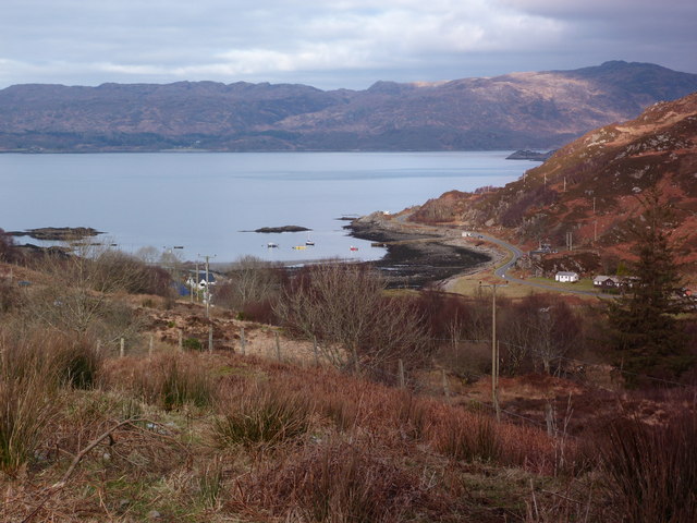
The summit of Egnaig Hill offers breathtaking views of the surrounding mountains, valleys, and lochs. On a clear day, one can see the peaks of nearby Munros, such as Ben Wyvis and Beinn Eighe. The hill is also home to a diverse range of flora and fauna, including red deer, mountain hares, and various bird species.
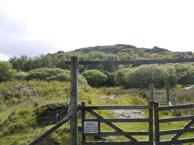
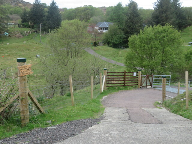
Access to Egnaig Hill is relatively straightforward, with a number of well-marked paths and trails leading to its summit. However, it is important to note that the terrain can be challenging, particularly in adverse weather conditions. Therefore, it is recommended to come prepared with suitable footwear, clothing, and navigational equipment.
Overall, Egnaig Hill is an impressive natural landmark in Inverness-shire, offering visitors the opportunity to immerse themselves in the stunning beauty of the Scottish Highlands.
If you have any feedback on the listing, please let us know in the comments section below.
Egnaig Hill Images
Images are sourced within 2km of 56.812284/-5.8333955 or Grid Reference NM6675. Thanks to Geograph Open Source API. All images are credited.


Egnaig Hill is located at Grid Ref: NM6675 (Lat: 56.812284, Lng: -5.8333955)
Unitary Authority: Highland
Police Authority: Highlands and Islands
What 3 Words
///plantings.bounding.charge. Near Arisaig, Highland
Nearby Locations
Related Wikis

Eilean Shona
Eilean Shona (Scottish Gaelic: Eilean Seòna) is a tidal island in Loch Moidart, Scotland. The modern name may be from the Old Norse for "sea island". The...

Glenuig
Glenuig ( glen-OO-ig, Scottish Gaelic: Ghlìnn-Ùige) is a small village in Moidart, Lochaber, Highland, on the west coast of Scotland. It is around 30 miles...

Loch Moidart
Loch Moidart is a sea loch (sea inlet) in the district of Moidart in Highland, Scotland. It is on the west coast of Scotland, and runs about 8 km (5 miles...

Castle Tioram
Castle Tioram (; Scottish Gaelic: Caisteal Tioram, meaning "dry castle") is a ruined castle that sits on the tidal island Eilean Tioram in Loch Moidart...
Nearby Amenities
Located within 500m of 56.812284,-5.8333955Have you been to Egnaig Hill?
Leave your review of Egnaig Hill below (or comments, questions and feedback).