An Cruachan
Hill, Mountain in Inverness-shire
Scotland
An Cruachan
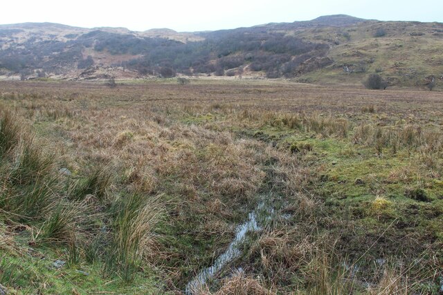
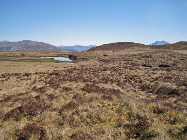
An Cruachan, located in Inverness-shire, Scotland, is a prominent hill or mountain that holds historical and geographical significance. Standing at an impressive height of 928 meters (3,045 feet), it is considered one of the highest peaks in the region.
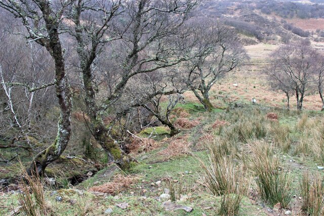
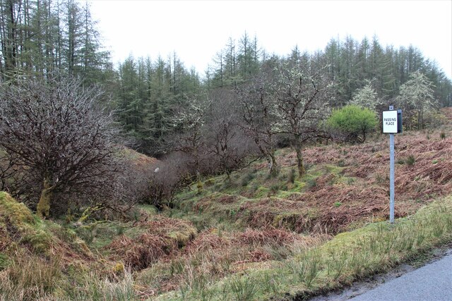
An Cruachan is part of the Grampian Mountains, which stretch across the Scottish Highlands. Its distinct shape, with a rounded summit and steep slopes, is a characteristic feature of this mountain range. The hill is composed mainly of granite, which gives it a rugged and rocky appearance.
This mountain is not only renowned for its natural beauty but also for its historical importance. The area surrounding An Cruachan has a rich archaeological heritage, dating back thousands of years. It is believed that the mountain was an important site for ancient Picts, who left behind a number of standing stones and other relics.
For hikers and outdoor enthusiasts, An Cruachan offers a challenging yet rewarding climb. The ascent can be demanding, with steep sections and loose rocks, but the breathtaking views from the summit make it all worthwhile. On a clear day, one can see the surrounding peaks, glens, and lochs, including the famous Loch Ness.
An Cruachan is a popular destination for those seeking outdoor adventures and a chance to immerse themselves in Scotland's natural wonders. With its historical significance, stunning landscapes, and challenging terrain, it is a must-visit for anyone exploring the Inverness-shire region.
If you have any feedback on the listing, please let us know in the comments section below.
An Cruachan Images
Images are sourced within 2km of 57.140693/-5.8761667 or Grid Reference NG6512. Thanks to Geograph Open Source API. All images are credited.


An Cruachan is located at Grid Ref: NG6512 (Lat: 57.140693, Lng: -5.8761667)
Unitary Authority: Highland
Police Authority: Highlands and Islands
What 3 Words
///sweeping.nametag.quick. Near Armadale, Highland
Nearby Locations
Related Wikis
Teangue
Teangue (Scottish Gaelic: An Teanga) is a fishing village on the Sleat peninsula, Isle of Skye, Highlands of Scotland. It is situated in Knock Bay on the...
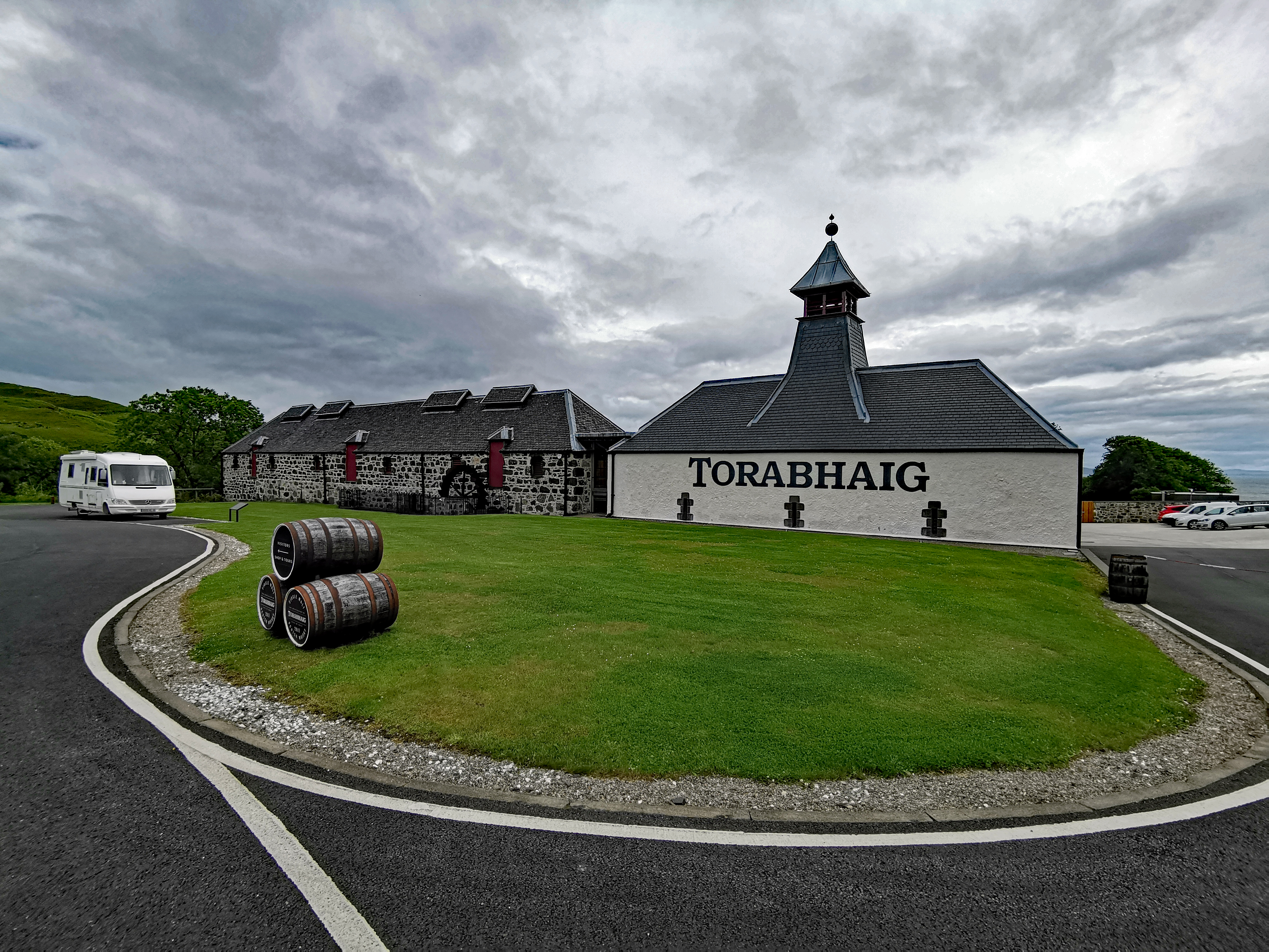
Torabhaig distillery
Torabhaig distillery is a Scotch whisky distillery in Teangue on the Isle of Skye. The distillery is the second ever licensed distillery on Skye and the...
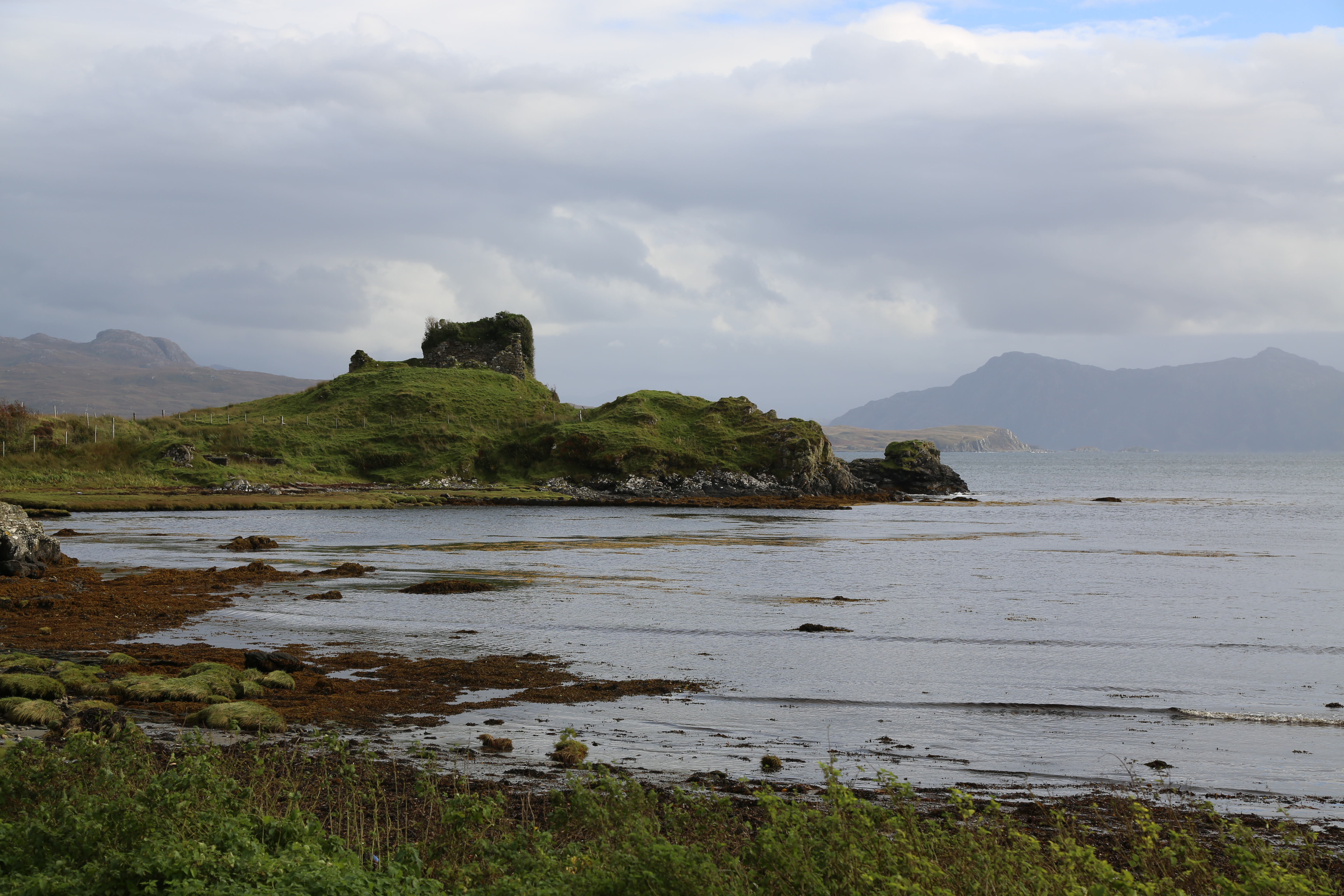
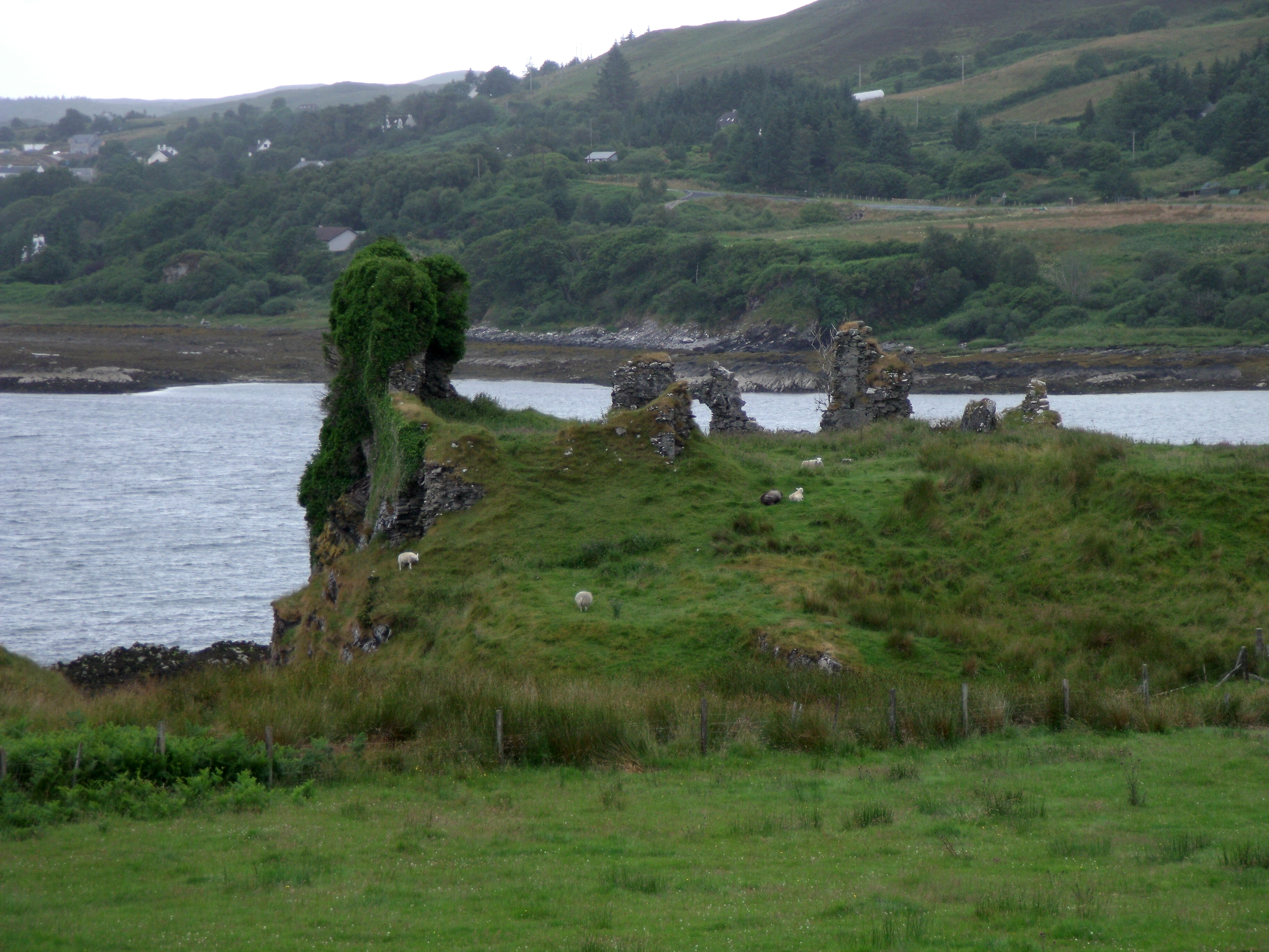
Knock Castle (Isle of Skye)
Knock Castle, also known as Caisteal Chamuis (Castle Camus) is a former stronghold of the MacDonalds. It lies on the east coast of Sleat, approximately...

Drumfearn
Drumfearn (Scottish Gaelic: An Druim Fheàrna) is a small crofting township, lying at the head of the Sleat peninsula, at the head of Loch Eishort, on...

Isleornsay
Isleornsay (Scottish Gaelic: Eilean Iarmain) is a village lying off the main Armadale to Sleat road (the A851) on the Isle of Skye in Scotland. It overlooks...

Camuscross
Camuscross (Scottish Gaelic: Camus Croise) is a small crofting township on the Isle of Skye in Scotland. Camuscross is situated on Camus Croise bay, on...

A851 road
The A851 road is one of the principal roads of the Isle of Skye in the Inner Hebrides off the west coast of mainland Scotland. It connects the ferry port...

Té Bheag
Té Bheag (Scottish Gaelic pronunciation: [ˈtʲʰeː ˈvek]) is a blended Scotch whisky made by Pràban na Linne Ltd in Scotland. It is one of Sir Iain Noble...
Nearby Amenities
Located within 500m of 57.140693,-5.8761667Have you been to An Cruachan?
Leave your review of An Cruachan below (or comments, questions and feedback).