Clachaig Mhòr
Hill, Mountain in Argyllshire
Scotland
Clachaig Mhòr
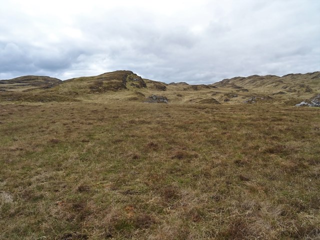
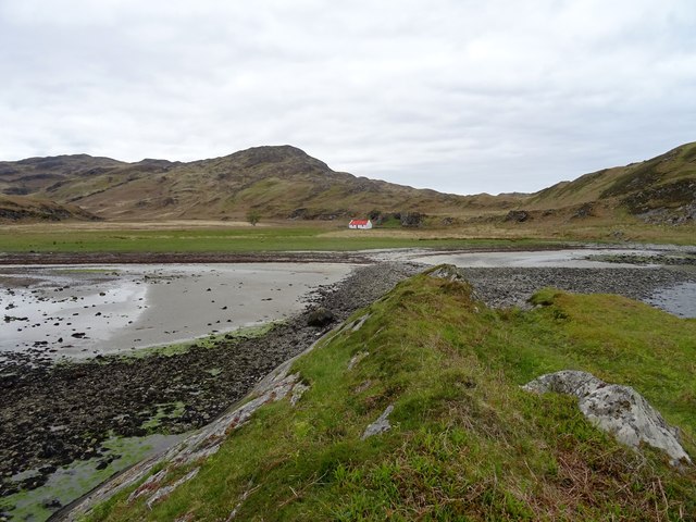
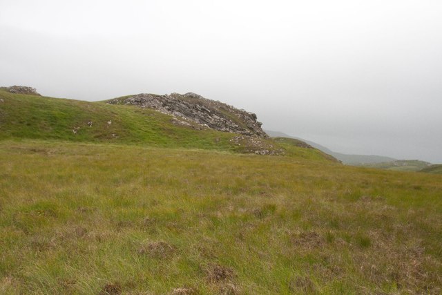
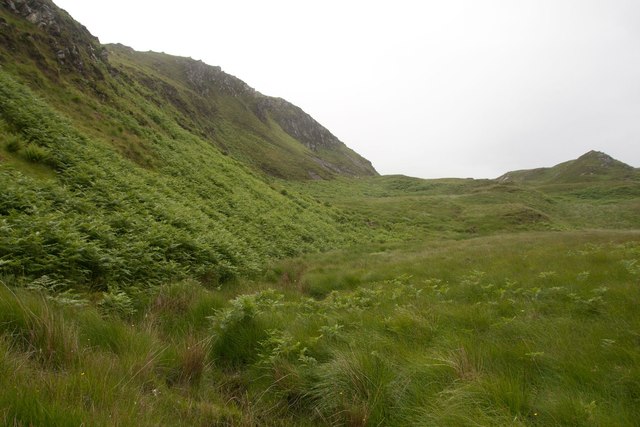
Clachaig Mhòr is a prominent hill located in Argyllshire, Scotland. It is situated in the picturesque Glen Etive, surrounded by breathtaking natural beauty. Rising to a height of approximately 1,155 meters (3,789 feet), Clachaig Mhòr is often classified as a Corbett, which refers to a Scottish mountain between 2,500 and 3,000 feet.
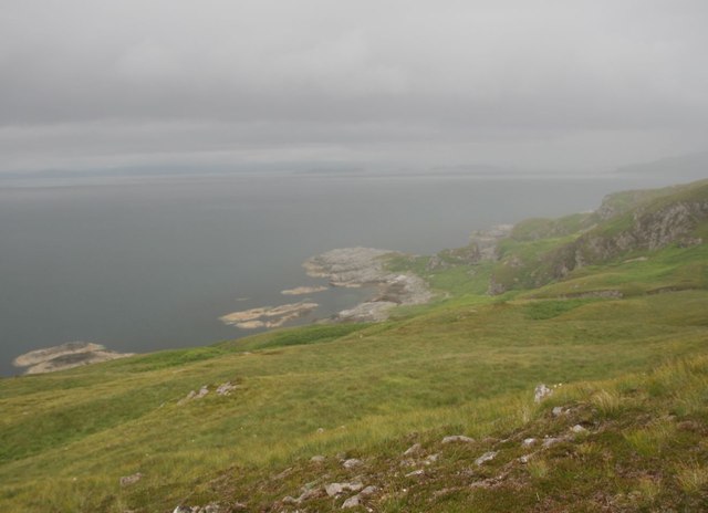
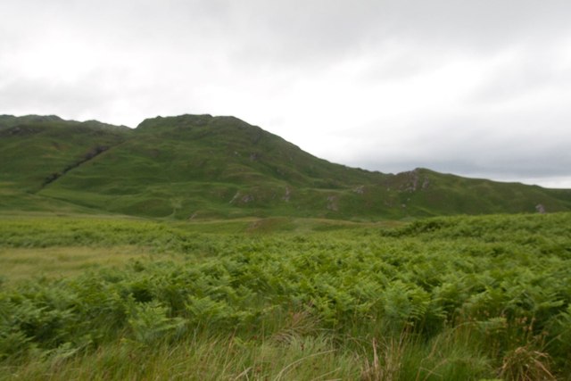
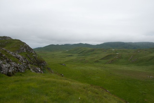
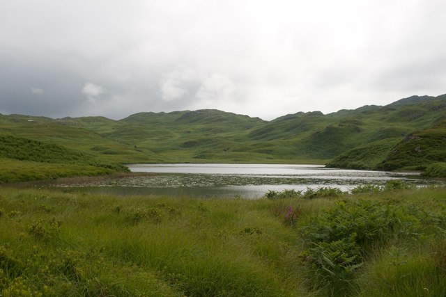
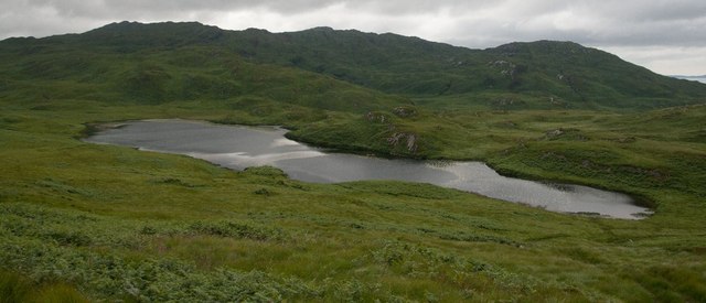
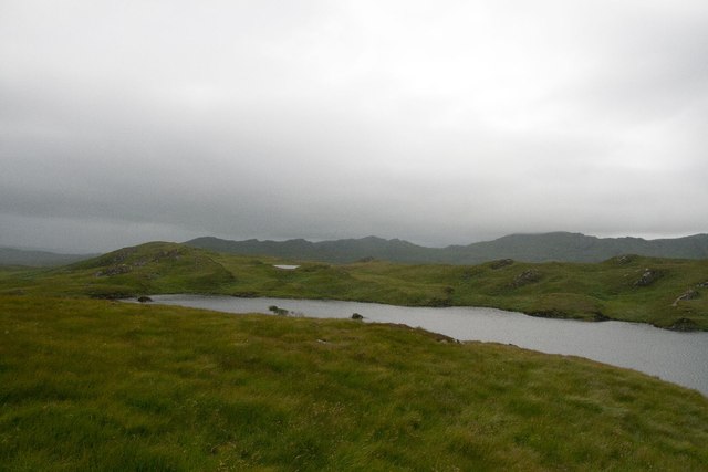
The hill offers stunning panoramic views of the surrounding landscape, including the majestic peaks of the neighboring mountains and the tranquil waters of Loch Etive. Its prominent position makes it a popular destination for hikers and outdoor enthusiasts, seeking to challenge themselves and immerse in the wilderness.
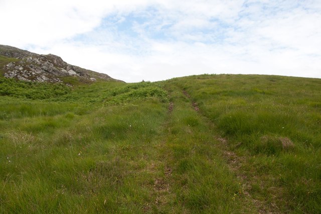
The ascent to Clachaig Mhòr can be challenging, but the reward is well worth it. The trail starts from Glen Etive, which is accessible from the A82 road, and follows a steep and rocky path. As hikers ascend, they are treated to breathtaking vistas and a sense of tranquility that can only be found in the Scottish Highlands.
The hill is part of the larger Glen Etive and Glen Coe region, which is renowned for its rugged beauty and dramatic landscapes. Visitors to Clachaig Mhòr can also explore the nearby Glen Etive, known for its stunning waterfalls, wildlife, and opportunities for outdoor activities such as fishing, kayaking, and birdwatching.
In summary, Clachaig Mhòr is a remarkable hill in Argyllshire, offering a challenging but rewarding hiking experience amidst the awe-inspiring beauty of the Scottish Highlands.
If you have any feedback on the listing, please let us know in the comments section below.
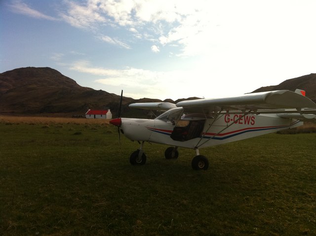
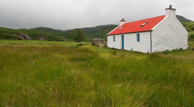
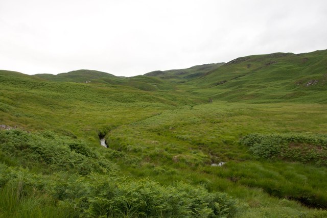
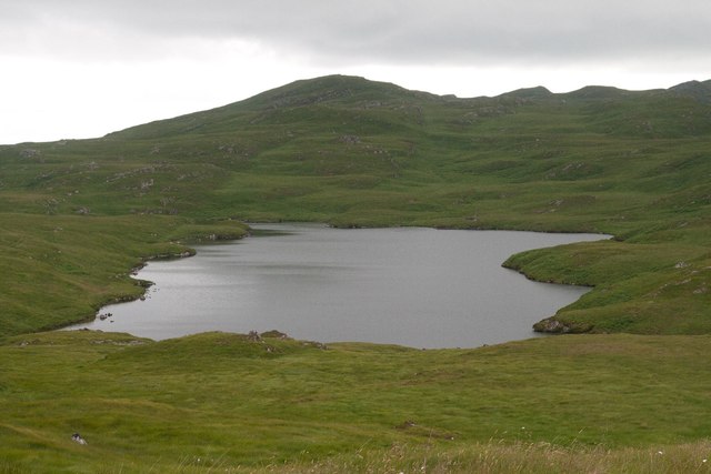
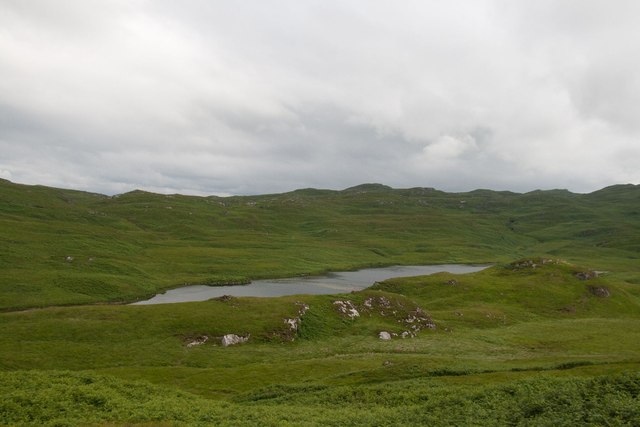
Clachaig Mhòr Images
Images are sourced within 2km of 56.104577/-5.772561 or Grid Reference NR6596. Thanks to Geograph Open Source API. All images are credited.
Clachaig Mhòr is located at Grid Ref: NR6596 (Lat: 56.104577, Lng: -5.772561)
Unitary Authority: Argyll and Bute
Police Authority: Argyll and West Dunbartonshire
What 3 Words
///hoops.wildfires.afflicted. Near Lochgilphead, Argyll & Bute
Nearby Locations
Related Wikis

Jura, Scotland
Jura ( JOOR-ə; Scottish Gaelic: Diùra) is an island in the Inner Hebrides of Scotland, adjacent to and northeast of Islay. With an area of 36,692 hectares...

Barnhill, Jura
Barnhill is a farmhouse in the north of the island of Jura in the Scottish Inner Hebrides overlooking the Sound of Jura. It stands on the site of a larger...

Kinuachdrachd
Kinuachdrachd or Kinuachdrach is a place about 22 miles from Craighouse on the island of Jura, in the council area of Argyll and Bute, Scotland. It comprises...

Gulf of Corryvreckan
The Gulf of Corryvreckan (from the Gaelic Coire Bhreacain, meaning 'cauldron of the speckled seas' or 'cauldron of the plaid'), also called the Strait...

Ardlussa Fishing Loch
The Ardlussa Fishing Loch is an impounding reservoir, located 2 kilometres north of Lussagiven on a remote part of the Ardlussa Estate on Jura, Argyll...

Scarba
Scarba (Scottish Gaelic: Sgarba) is an island, in Argyll and Bute, Scotland, just north of the much larger island of Jura. The island has not been permanently...

Ardlussa
Ardlussa is a hamlet and estate on The Long Road, just north of the Lussa River, overlooking Ardlussa Bay on the east coast of the island of Jura, in the...

Inverlussa
Inverlussa is a hamlet 1 mile (1.6 km) southwest of Ardlussa and 14 miles from Craighouse at the mouth of Lussa River on the east coast of the island of...
Nearby Amenities
Located within 500m of 56.104577,-5.772561Have you been to Clachaig Mhòr?
Leave your review of Clachaig Mhòr below (or comments, questions and feedback).