Achnaslishaig Hill
Hill, Mountain in Argyllshire
Scotland
Achnaslishaig Hill

Achnaslishaig Hill is a prominent landmark located in Argyllshire, Scotland. Situated near the village of Tarbert, it is part of the wider region known for its breathtaking landscapes and natural beauty. With an elevation of approximately 285 meters (935 feet), Achnaslishaig Hill offers stunning panoramic views of the surrounding countryside, including Loch Fyne and the nearby hills.
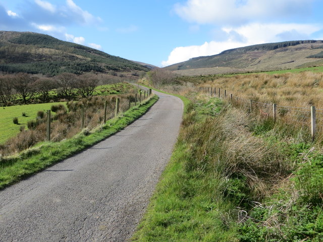
The hill is characterized by its gently sloping terrain and lush green vegetation, which makes it a popular spot for hikers and nature enthusiasts. The diverse flora and fauna found on Achnaslishaig Hill provide a rich habitat for various species, including birds, mammals, and wildflowers. Visitors can expect to encounter a wide range of wildlife, such as red deer, buzzards, and rabbits.
The ascent to the summit of Achnaslishaig Hill is relatively moderate, making it accessible to individuals of different fitness levels. Once at the top, hikers are rewarded with breathtaking views of the surrounding countryside, offering a sense of tranquility and serenity. On clear days, it is possible to see as far as the Isle of Arran in the distance.
Achnaslishaig Hill is also steeped in history, with remnants of ancient settlements and burial sites scattered around its slopes. These archaeological remains provide fascinating insights into the past, adding an extra layer of intrigue to the hill's natural beauty.
Overall, Achnaslishaig Hill is a must-visit destination for those seeking to immerse themselves in Scotland's stunning landscapes and rich cultural heritage. Whether it's the captivating views or the historical significance, this picturesque hill will undoubtedly leave a lasting impression on all who venture to its summit.
If you have any feedback on the listing, please let us know in the comments section below.
Achnaslishaig Hill Images
Images are sourced within 2km of 55.367112/-5.7226449 or Grid Reference NR6414. Thanks to Geograph Open Source API. All images are credited.


Achnaslishaig Hill is located at Grid Ref: NR6414 (Lat: 55.367112, Lng: -5.7226449)
Unitary Authority: Argyll and Bute
Police Authority: Argyll and West Dunbartonshire
What 3 Words
///diplomas.cone.joyously. Near Campbeltown, Argyll & Bute
Nearby Locations
Related Wikis

Killellan House
Killellan House was a mansion house at Conie Glen, Kintyre, Scotland. Gutted by fire, the house was demolished in the 1960s, however the entrance lodge...
Tirfergus House
Tirfergus House was a mansion house south of Drumlemble, Kintyre, Argyll and Bute, Scotland. The house has been demolished. Blockwork incorporated into...

Drumlemble
Drumlemble (Scottish Gaelic: Druim Leamhan, pronounced [t̪ɾumˈlãũ.an]) is a small village on the Kintyre peninsula in Argyll and Bute, Scotland. The village...
Machrihanish Coalfield
The Machrihanish Coalfield is a coalfield on the Kintyre peninsula in southwest Scotland. It is one of the smallest British coalfields. With the exception...
Nearby Amenities
Located within 500m of 55.367112,-5.7226449Have you been to Achnaslishaig Hill?
Leave your review of Achnaslishaig Hill below (or comments, questions and feedback).