Cnoc Carrach
Hill, Mountain in Argyllshire
Scotland
Cnoc Carrach
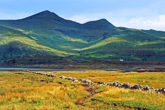
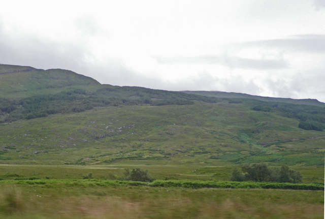
Cnoc Carrach is a prominent hill located in Argyllshire, Scotland. It stands at an elevation of around 451 meters (1,480 feet) and is part of the larger mountain range known as the Arrochar Alps. The hill is situated near the village of Arrochar, which lies on the shores of Loch Long.
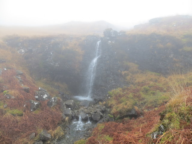
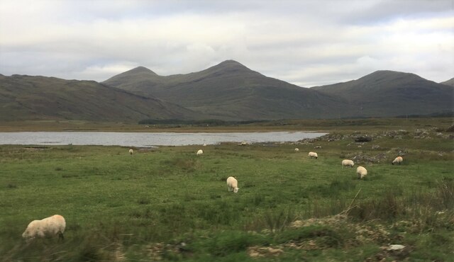
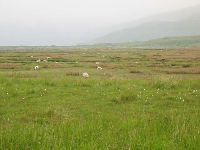
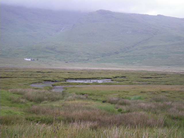
Cnoc Carrach offers spectacular views of the surrounding landscape, including Loch Lomond and the Trossachs National Park. Its location within the Arrochar Alps makes it a popular destination for hikers and outdoor enthusiasts, offering a range of walking trails suitable for different abilities.
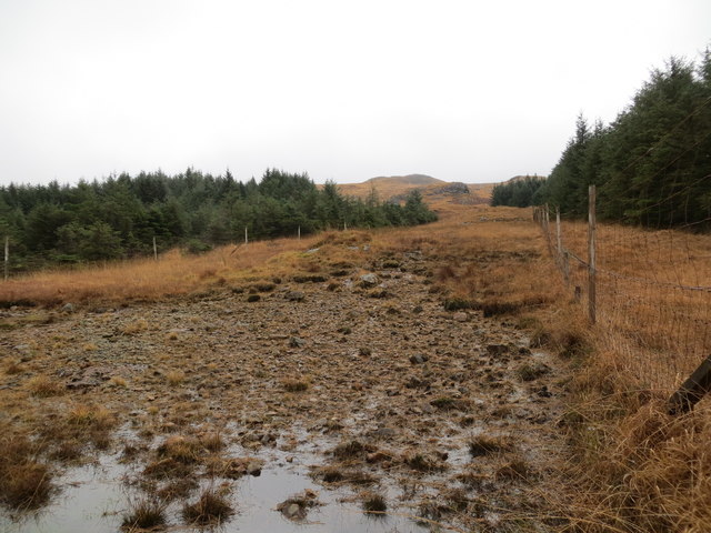
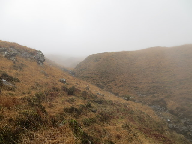
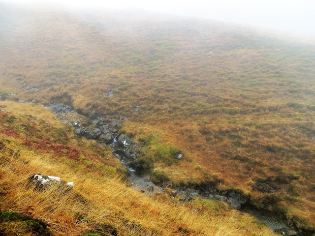
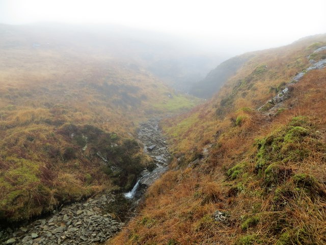
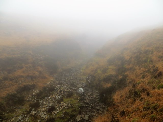
The hill is known for its rugged and rocky terrain, with steep slopes and craggy ridges. The ascent to the summit can be challenging, requiring a certain level of fitness and experience. However, the rewarding panoramic views from the top make it well worth the effort.
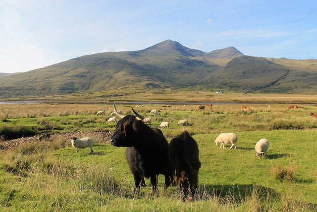
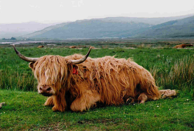
Wildlife is abundant in the area, with a variety of bird species, including golden eagles and peregrine falcons, often spotted soaring above the hill. Other animals, such as red deer and mountain hares, can also be found in the surrounding hillsides.
Cnoc Carrach is a popular destination for hillwalkers and climbers, offering a range of routes to suit different abilities. It provides an opportunity to experience the natural beauty of the Scottish Highlands and immerse oneself in the stunning scenery of Argyllshire.
If you have any feedback on the listing, please let us know in the comments section below.
Cnoc Carrach Images
Images are sourced within 2km of 56.372269/-5.9673961 or Grid Reference NM5527. Thanks to Geograph Open Source API. All images are credited.
Cnoc Carrach is located at Grid Ref: NM5527 (Lat: 56.372269, Lng: -5.9673961)
Unitary Authority: Argyll and Bute
Police Authority: Argyll and West Dunbartonshire
What 3 Words
///scrub.clockwork.roaring. Near Lochbuie, Argyll & Bute
Nearby Locations
Related Wikis

Aird of Kinloch
Aird of Kinloch (Gaelic:An Àird) is a rocky outcrop between Loch Scridain and Loch Beg on the Isle of Mull, Argyll and Bute, Scotland. == References ==

Pennyghael
Pennyghael (Scottish Gaelic: Peighinn nan Gàidheal) is a small village in the Ross of Mull, Argyll and Bute, Scotland. It is located along the A849 road...

Ben Buie
Ben Buie (717 m) is a mountain in the south of the Isle of Mull, Scotland. A rocky mountain, it has steep and rugged slopes, especially on its eastern...

Carsaig Bay
Carsaig Bay is a cove on the Ross of Mull in the south of the Isle of Mull, off the west coast of Scotland. It is situated 5 kilometres (3 miles) eastward...
Loch Buie
Loch Buie (Scottish Gaelic: Locha Buidhe, meaning "yellow loch") is a sea loch on the south coast of the Isle of Mull, off the west coast of Scotland....

Ben More (Mull)
Ben More (Scottish Gaelic: Beinn Mhòr, meaning "great mountain") is the highest mountain and only Munro (mountains in Scotland that reach an elevation...

Lochbuie, Mull
Lochbuie (Scottish Gaelic: Locha Buidhe, meaning "yellow loch") is a settlement on the Isle of Mull in Scotland about 22 kilometres (14 mi) west of Craignure...

Moy Castle
Moy Castle is a ruined castle near Lochbuie on the Isle of Mull, Scotland. The site is now a scheduled monument. == History == The land upon which Moy...
Have you been to Cnoc Carrach?
Leave your review of Cnoc Carrach below (or comments, questions and feedback).