An Coileach
Hill, Mountain in Inverness-shire
Scotland
An Coileach

An Coileach is a prominent hill located in Inverness-shire, Scotland. It is part of the Scottish Highlands and stands at an elevation of approximately 674 meters (2,211 feet) above sea level. The hill is situated near the village of Farr, around 15 kilometers (9 miles) south of Inverness, the capital city of the Highlands.
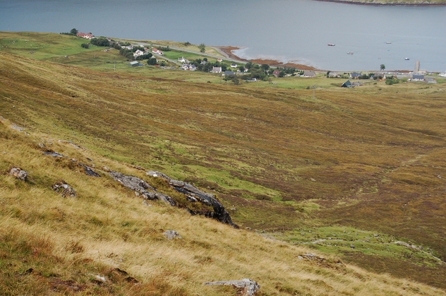
An Coileach offers breathtaking panoramic views of the surrounding landscape, including the vast Loch Ness to the northeast and the picturesque Glen Strathfarrar to the southwest. Its location within the Scottish Highlands makes it a popular destination for hikers and outdoor enthusiasts, who are attracted to its challenging trails and stunning natural beauty.
The hill is predominantly composed of rugged moorland, characterized by heather, grasses, and scattered rocky outcrops. The terrain can be uneven and steep in certain sections, providing a moderate to strenuous hiking experience. The ascent to the summit of An Coileach rewards climbers with magnificent vistas of the surrounding countryside, including the towering peaks of the nearby Monadhliath Mountains.
An Coileach is also known for its rich biodiversity, supporting a variety of plant and animal species. It is home to a range of birdlife, including red grouse, golden eagles, and peregrine falcons. The hill is also frequented by deer, which can be spotted grazing in the open moorland.
Overall, An Coileach offers a remarkable outdoor experience, combining challenging hiking trails, breathtaking views, and abundant wildlife. It is a must-visit destination for nature lovers and adventure seekers visiting Inverness-shire.
If you have any feedback on the listing, please let us know in the comments section below.
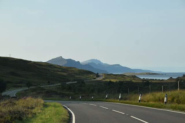
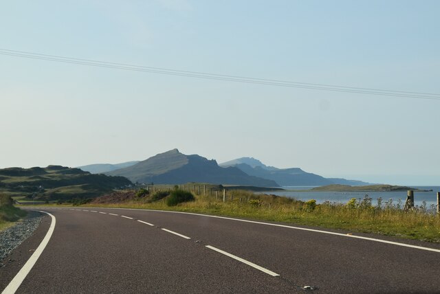
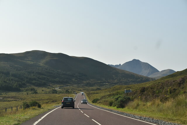
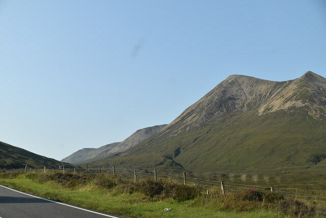
An Coileach Images
Images are sourced within 2km of 57.29764/-6.1115943 or Grid Reference NG5230. Thanks to Geograph Open Source API. All images are credited.


An Coileach is located at Grid Ref: NG5230 (Lat: 57.29764, Lng: -6.1115943)
Unitary Authority: Highland
Police Authority: Highlands and Islands
What 3 Words
///dignitary.dumplings.gushes. Near Portree, Highland
Nearby Locations
Related Wikis

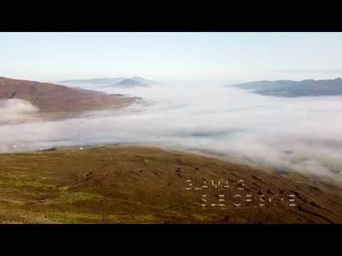
Glamaig
Glamaig (Scottish Gaelic: Glàmaig) is the northernmost of the Red Hills on the Isle of Skye in Scotland. It lies immediately east of Sligachan. It is one...
Sconser
Sconser (Scottish Gaelic: Sgonnsair) is a small crofting township on the island of Skye, in Scotland, situated on the south shore of Loch Sligachan. The...

Beinn Dearg Mhor (Sligachan)
Beinn Dearg Mhor (731 m), is a mountain in the Red Cuillin mountains of the Isle of Skye. It is located between Loch Ainort and the settlement of Sligachan...
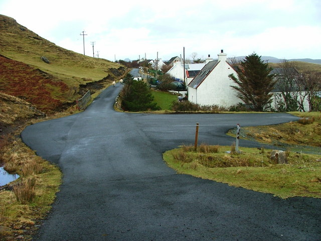
Peinachorran
Peinchorran (Scottish Gaelic: Peighinn a' Chorrain; Peinachorrain on Ordnance Survey maps) is a remote settlement, lying at the end of the B883 road, on...
Related Videos

Discover Glamaig the Red Hills Ep-9 A Scenic Ride and camp Through The Isle Of Skye! S03-EP24
Discover Glamaig the Red Hills Ep-9 A Scenic Ride and camp Through The Isle Of Skye! S03-EP24 In this episode we are riding ...

Cute Scottish Cows 🐮 🏴 #travel #trending #viral
Cute Scottish Cows are often associated with specific breeds like Highland cattle, known for their long horns ...

Four Go On A Ferry | Sconser Isle of Skye - Raasay | Caledonian MacBrayne
ROUTE: Sconser (Isle of Skye) - Raasay OPERATOR: Caledonian MacBrayne COST: £22.40 (two adults and car return) It's ...
Glamaig on the isle of skye
Dji mavic mini footage on the slopes golf Glamaig on the Isle of Skye.
Nearby Amenities
Located within 500m of 57.29764,-6.1115943Have you been to An Coileach?
Leave your review of An Coileach below (or comments, questions and feedback).