Cnoc a' Bhuntàta
Hill, Mountain in Argyllshire
Scotland
Cnoc a' Bhuntàta
Cnoc a' Bhuntàta, located in Argyllshire, Scotland, is a prominent hill/mountain that offers breathtaking views and unique natural features. Rising to an elevation of approximately 723 meters (2,372 feet), it is a popular destination for outdoor enthusiasts and nature lovers.
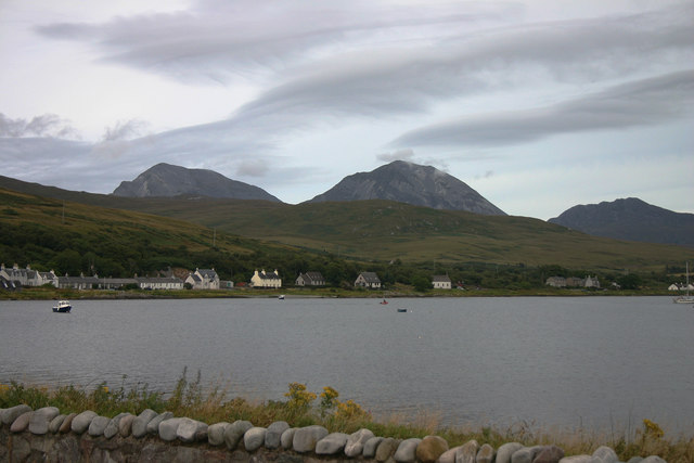
Situated in a remote area, Cnoc a' Bhuntàta is characterized by its rugged and rocky terrain, with deep valleys and steep slopes. The hill/mountain is part of the larger Argyll Forest Park, which spans approximately 120,000 acres and is renowned for its diverse flora and fauna.
The ascent to the summit of Cnoc a' Bhuntàta is challenging but rewarding, with various trails and paths available for hikers and mountaineers. The panoramic views from the top are truly awe-inspiring, offering vistas of the surrounding mountains, glens, and lochs.
One notable feature of Cnoc a' Bhuntàta is the presence of an ancient cairn, a man-made stone structure, believed to be a burial site dating back thousands of years. This archaeological site adds to the historical and cultural significance of the area.
Due to its remote location, it is recommended that visitors come well-prepared, with appropriate clothing, footwear, and supplies. The weather on Cnoc a' Bhuntàta can be unpredictable, with rain and mist common, even during the summer months.
Overall, Cnoc a' Bhuntàta offers a superb opportunity to experience the beauty and tranquility of the Scottish Highlands, with its stunning landscapes, rich history, and challenging hiking opportunities.
If you have any feedback on the listing, please let us know in the comments section below.
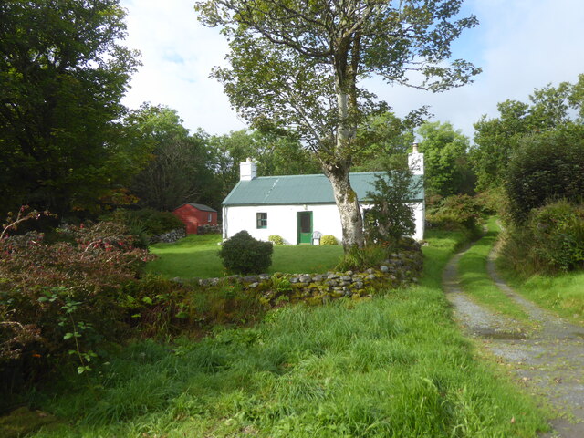
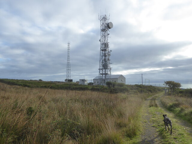
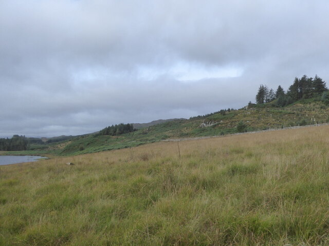
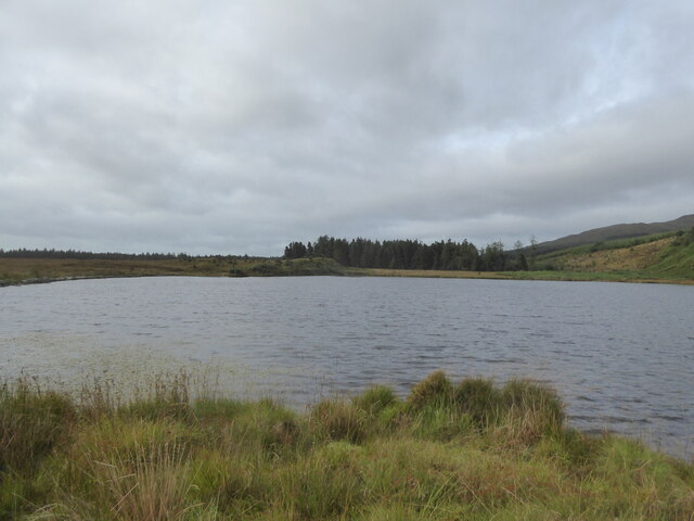
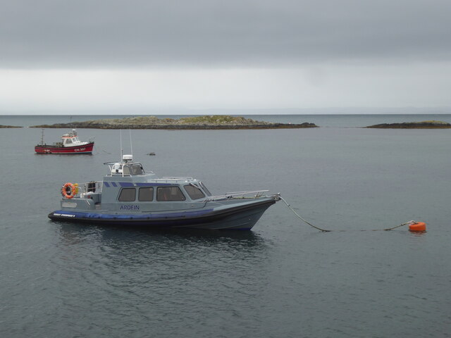
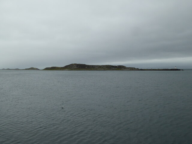
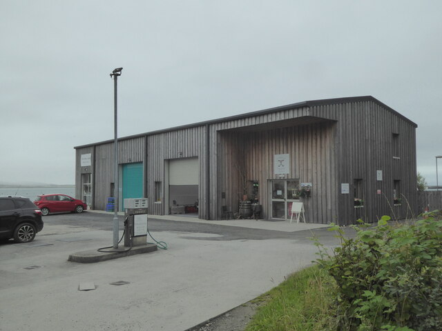
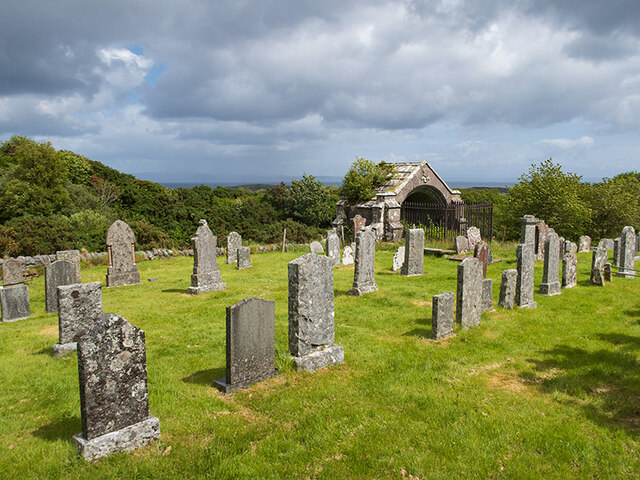
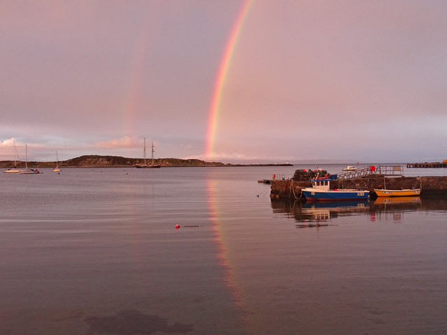
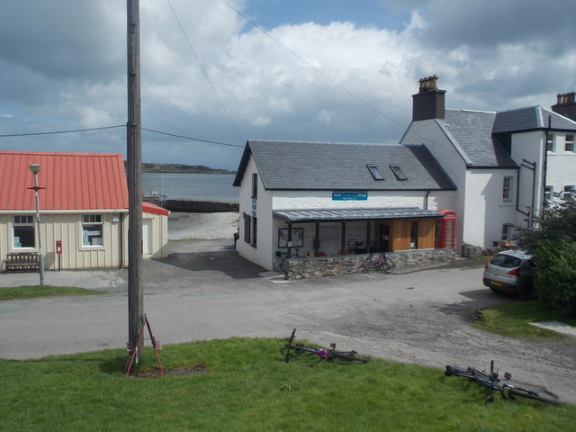
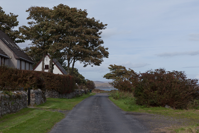
Cnoc a' Bhuntàta Images
Images are sourced within 2km of 55.830461/-5.9578799 or Grid Reference NR5266. Thanks to Geograph Open Source API. All images are credited.


Cnoc a' Bhuntàta is located at Grid Ref: NR5266 (Lat: 55.830461, Lng: -5.9578799)
Unitary Authority: Argyll and Bute
Police Authority: Argyll and West Dunbartonshire
What 3 Words
///captions.ambition.fires. Near Craighouse, Argyll & Bute
Nearby Locations
Related Wikis
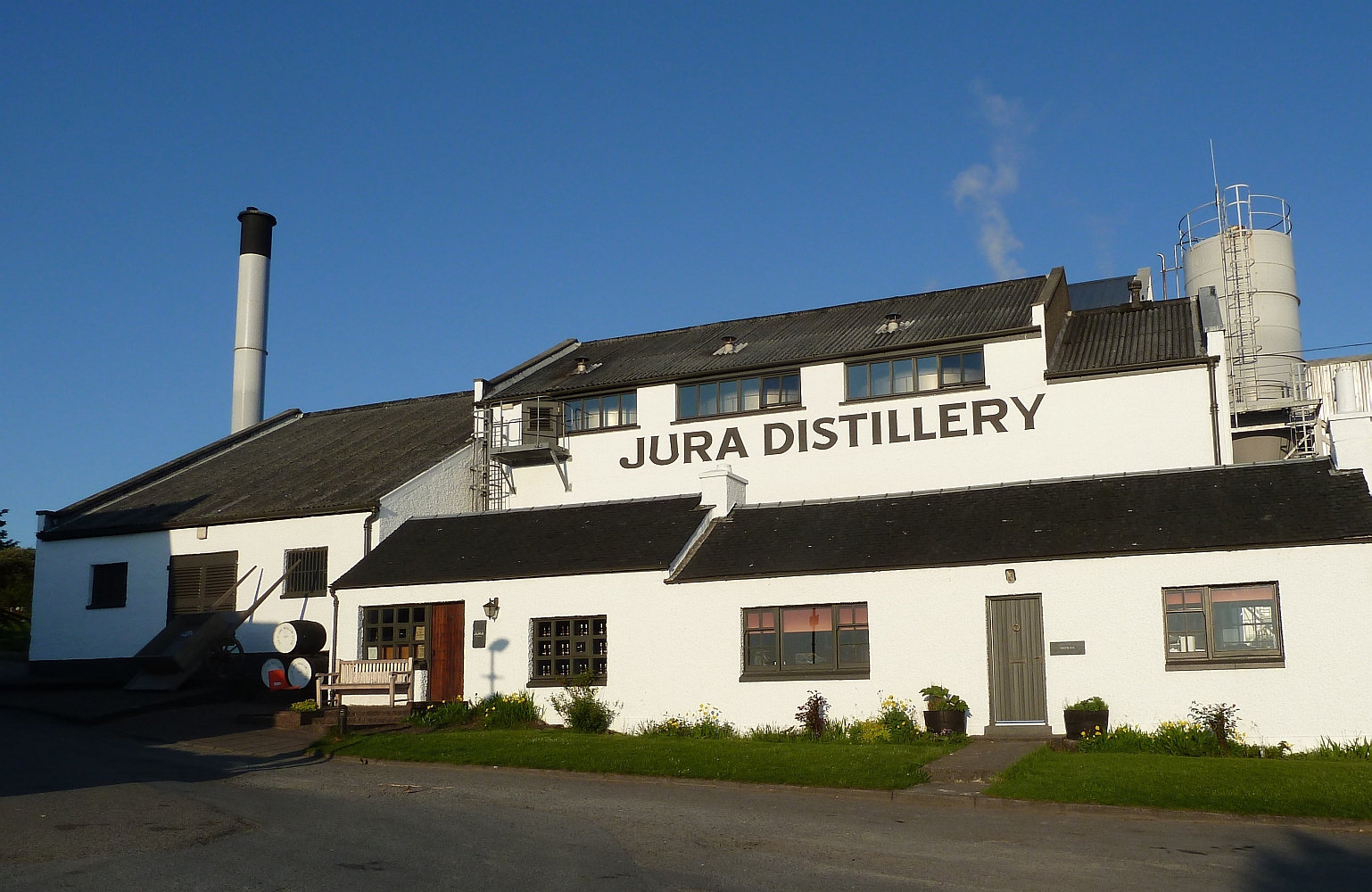
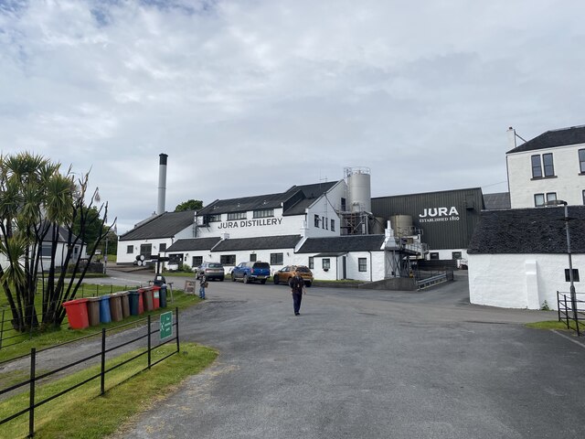
Jura distillery
Jura distillery is a Scotch whisky distillery on the island of Jura in the Inner Hebrides off the West Coast of Scotland. The distillery is operated by...

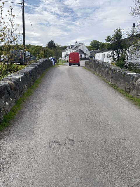
Craighouse
Craighouse (Scottish Gaelic: Taigh na Creige) is the main settlement and capital of the Scottish Inner Hebridean island of Jura, in Argyll and Bute. In...

Keils
Keils formerly Kilearnadill is a hamlet 0.25 miles (0.40 km) from Craighouse on the island of Jura, in the council area of Argyll and Bute, Scotland. Keils...

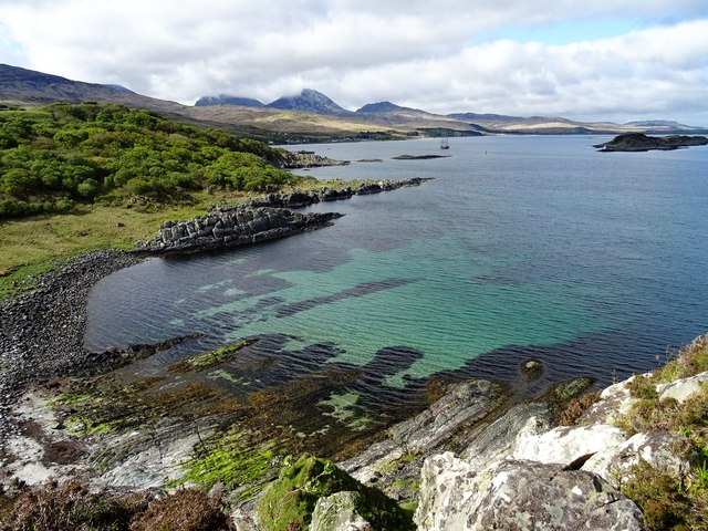
Small Isles, Argyll
The Small Isles are a group of uninhabited islands east of Jura, in the council area of Argyll and Bute, Scotland. From south to north, the five islands...
Nearby Amenities
Located within 500m of 55.830461,-5.9578799Have you been to Cnoc a' Bhuntàta?
Leave your review of Cnoc a' Bhuntàta below (or comments, questions and feedback).